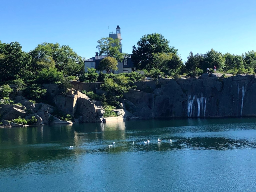
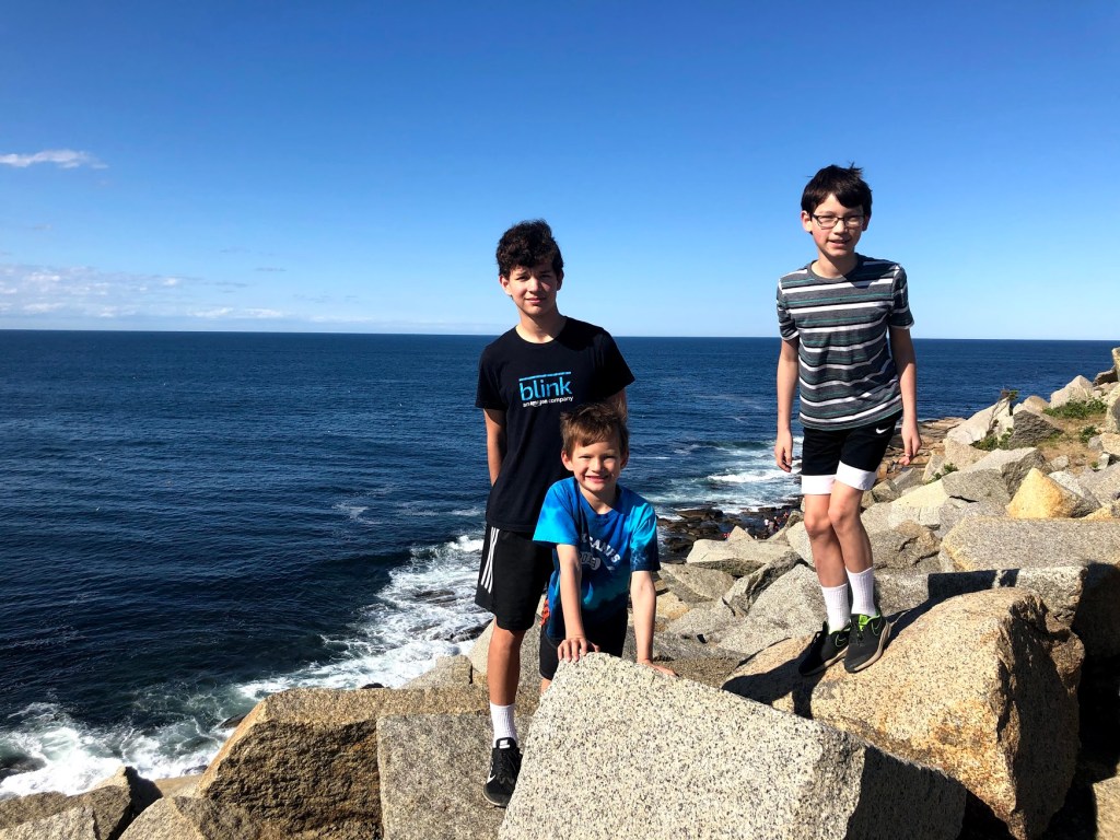
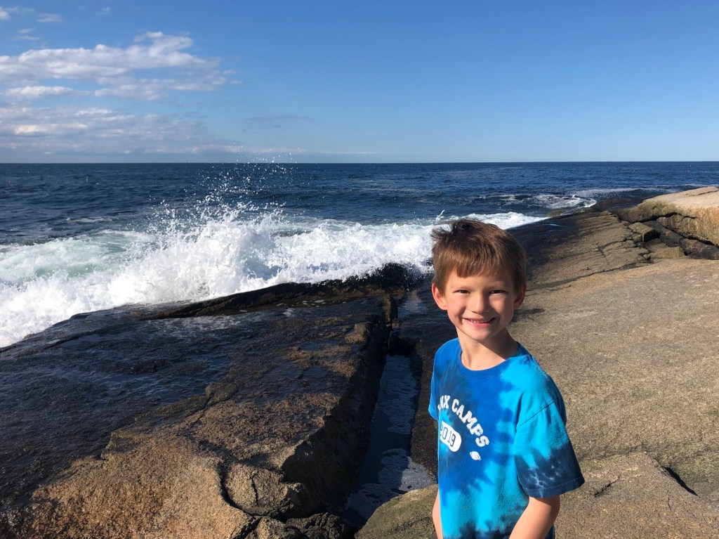
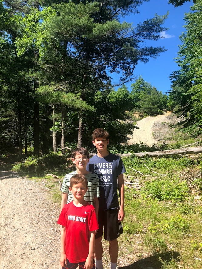
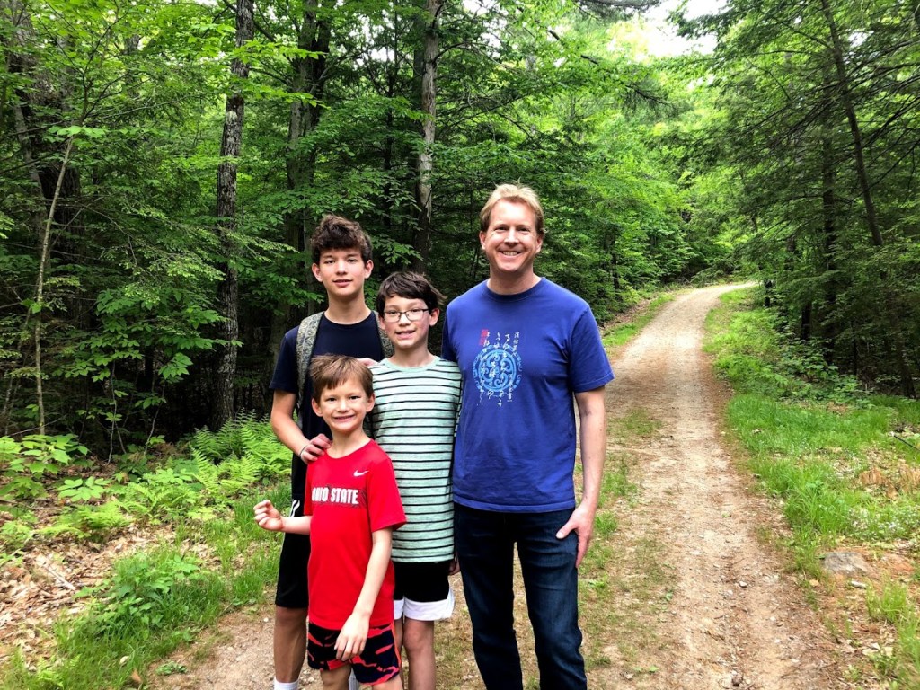
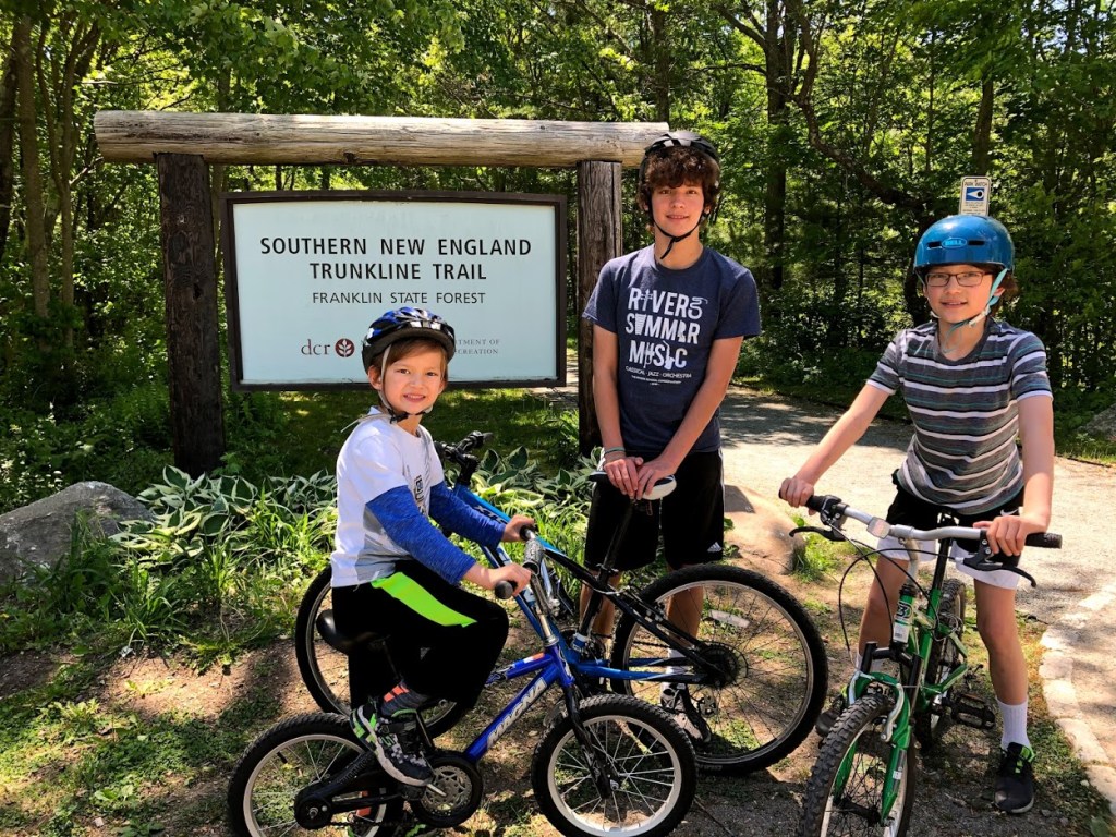
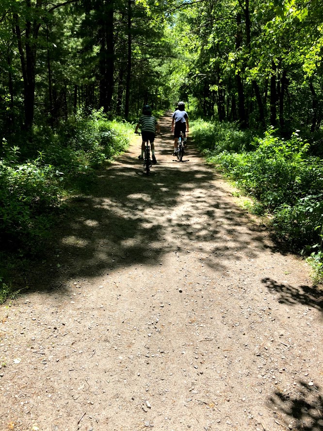
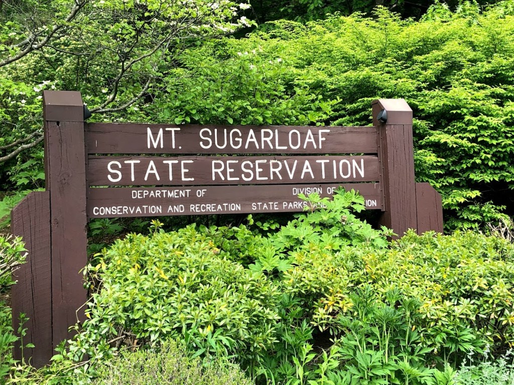
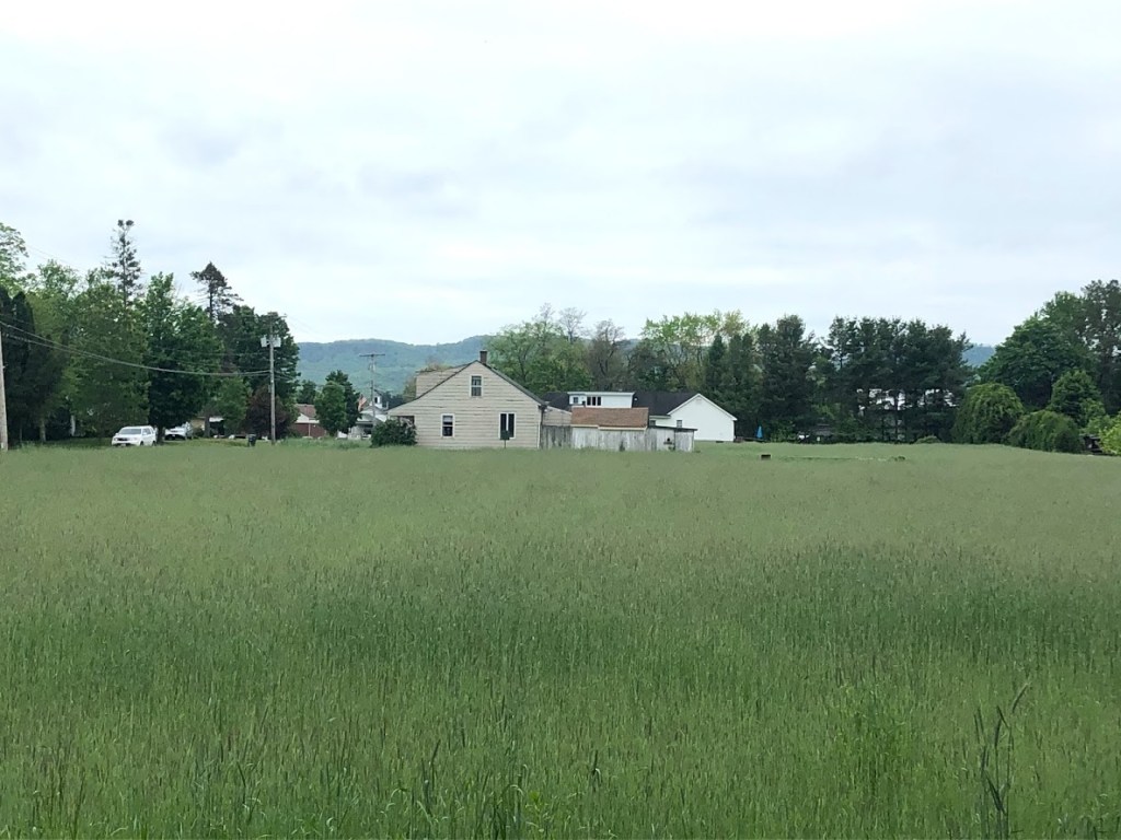
Beartown State Forest

July 13, 2020 Sunny

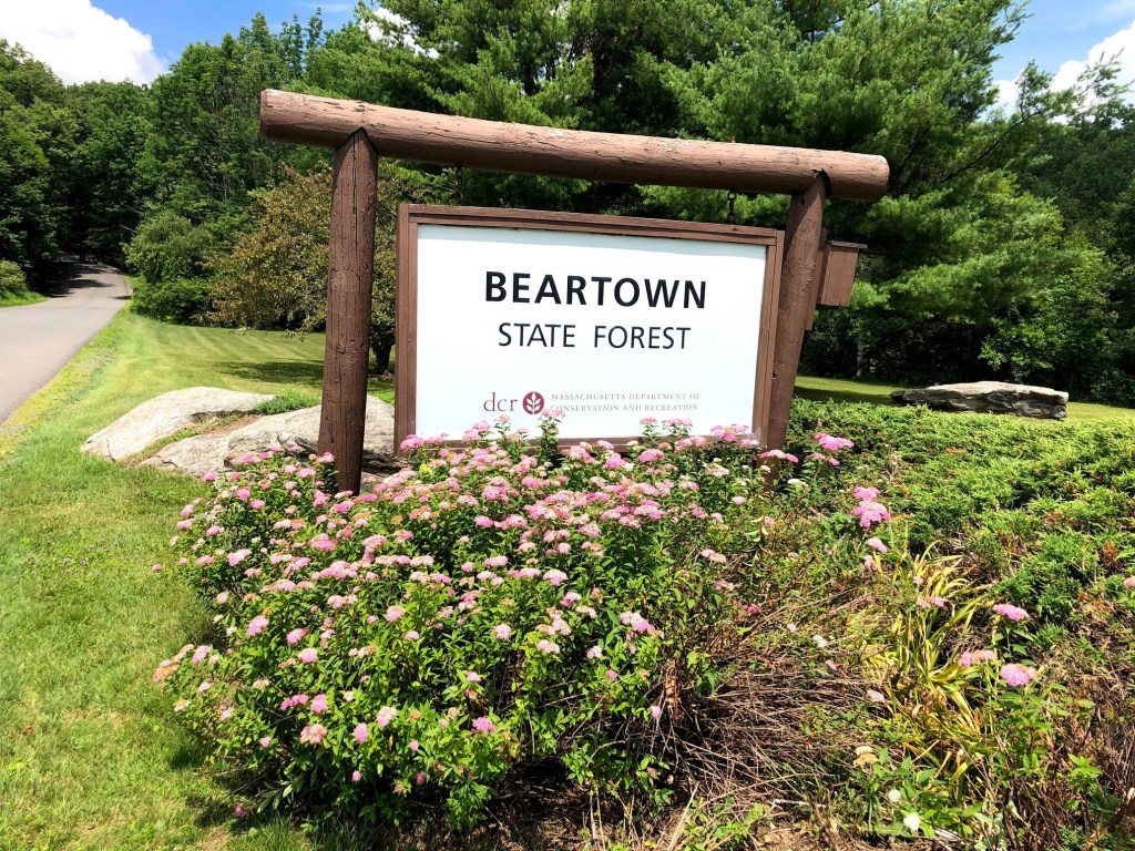
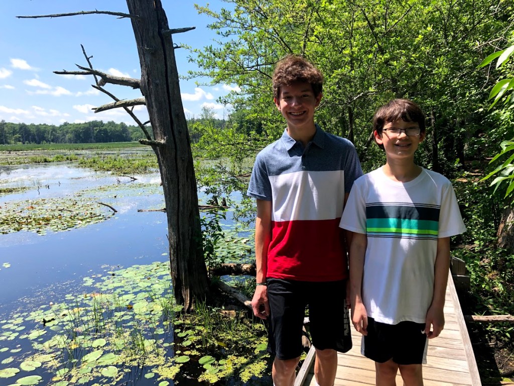
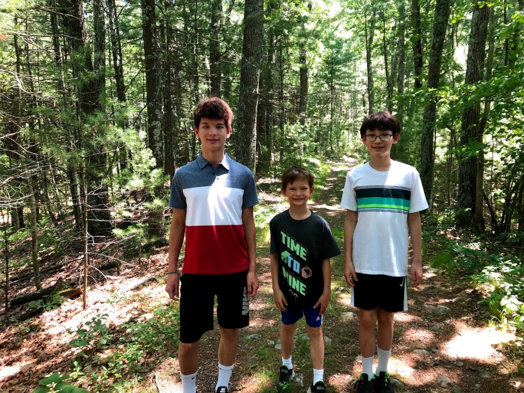
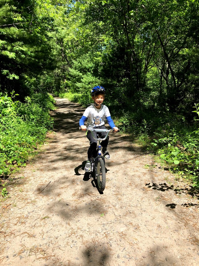
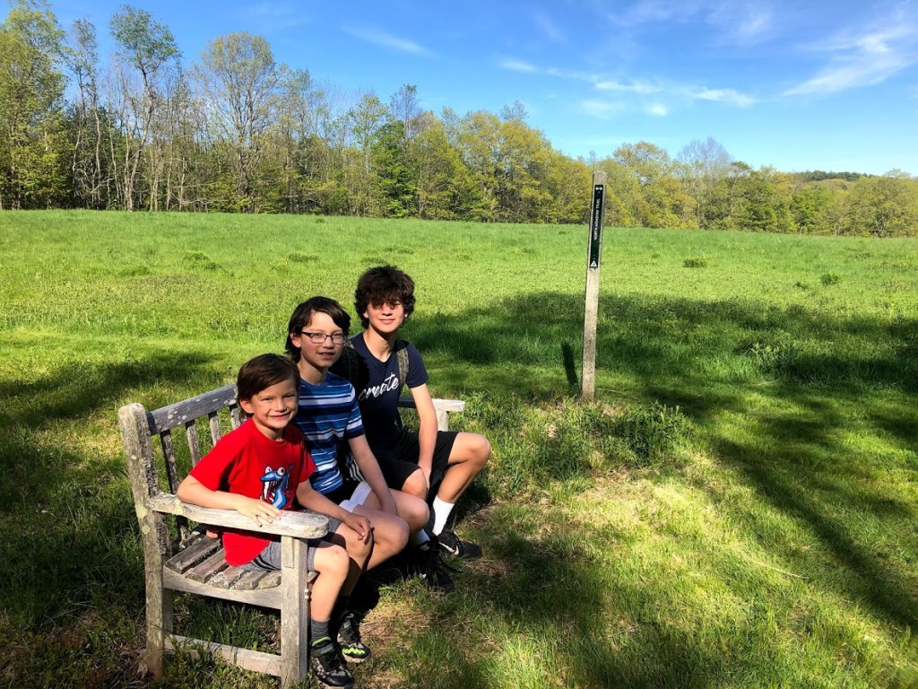
The main attraction of Beartown State Forest is Benedict Pond and the campground. There is a 1.7-mile loop trail around the pond that intersects the Appalachian Trail.

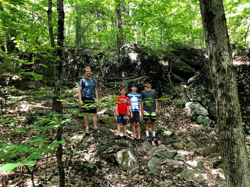
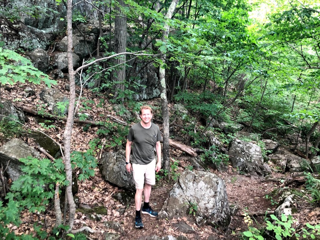
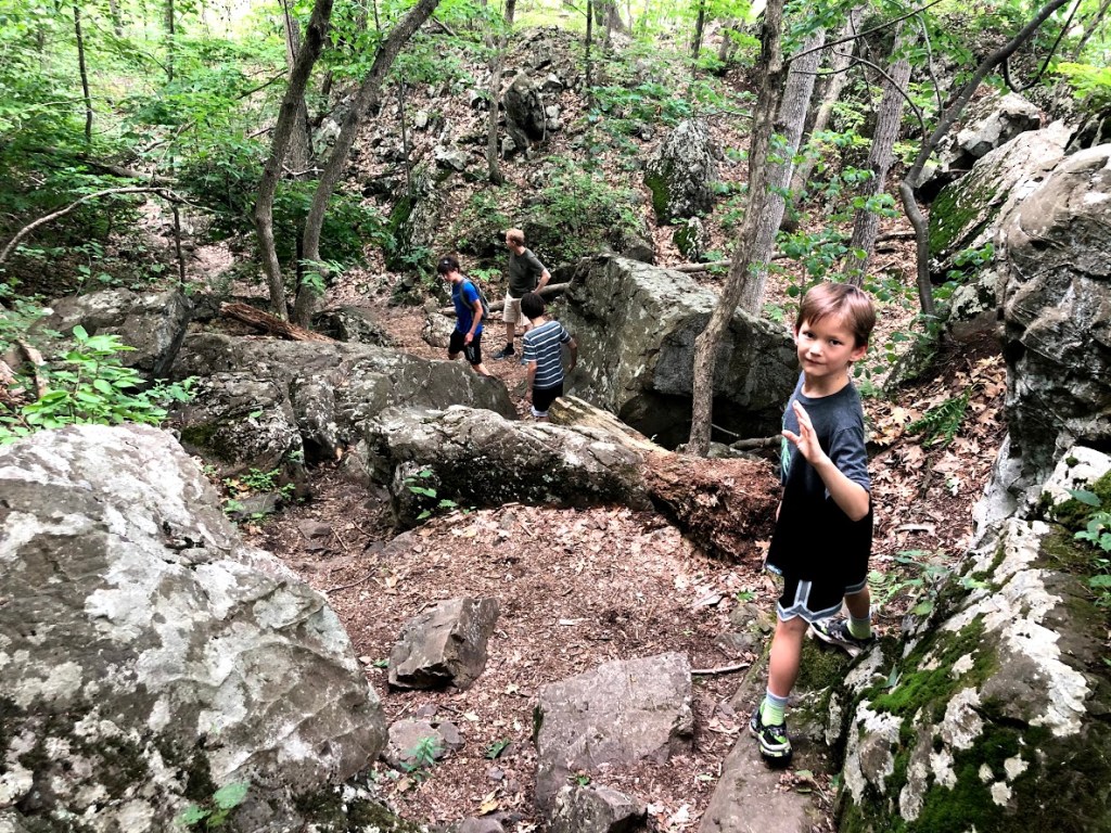
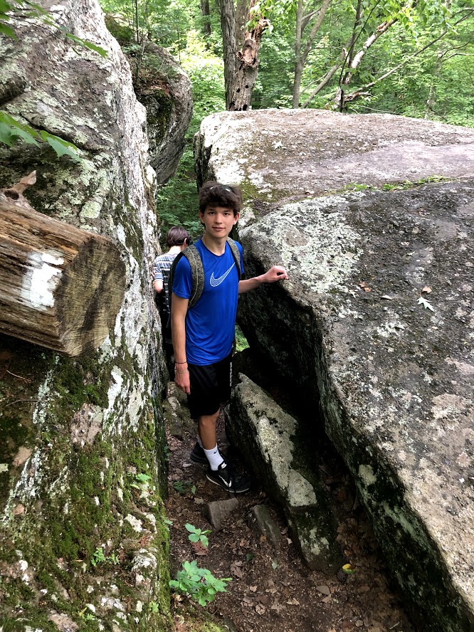
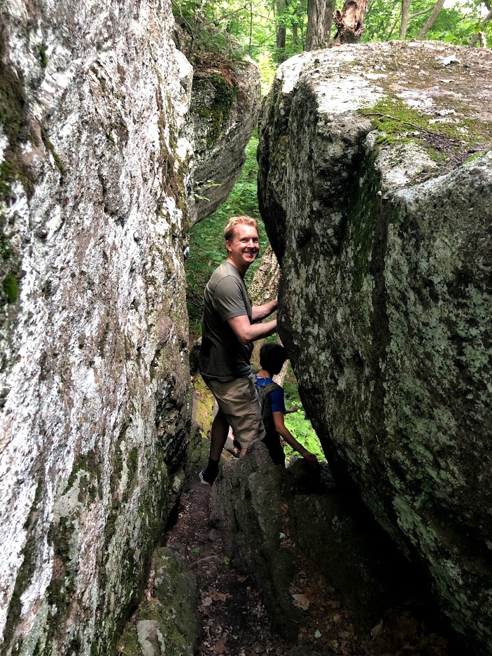
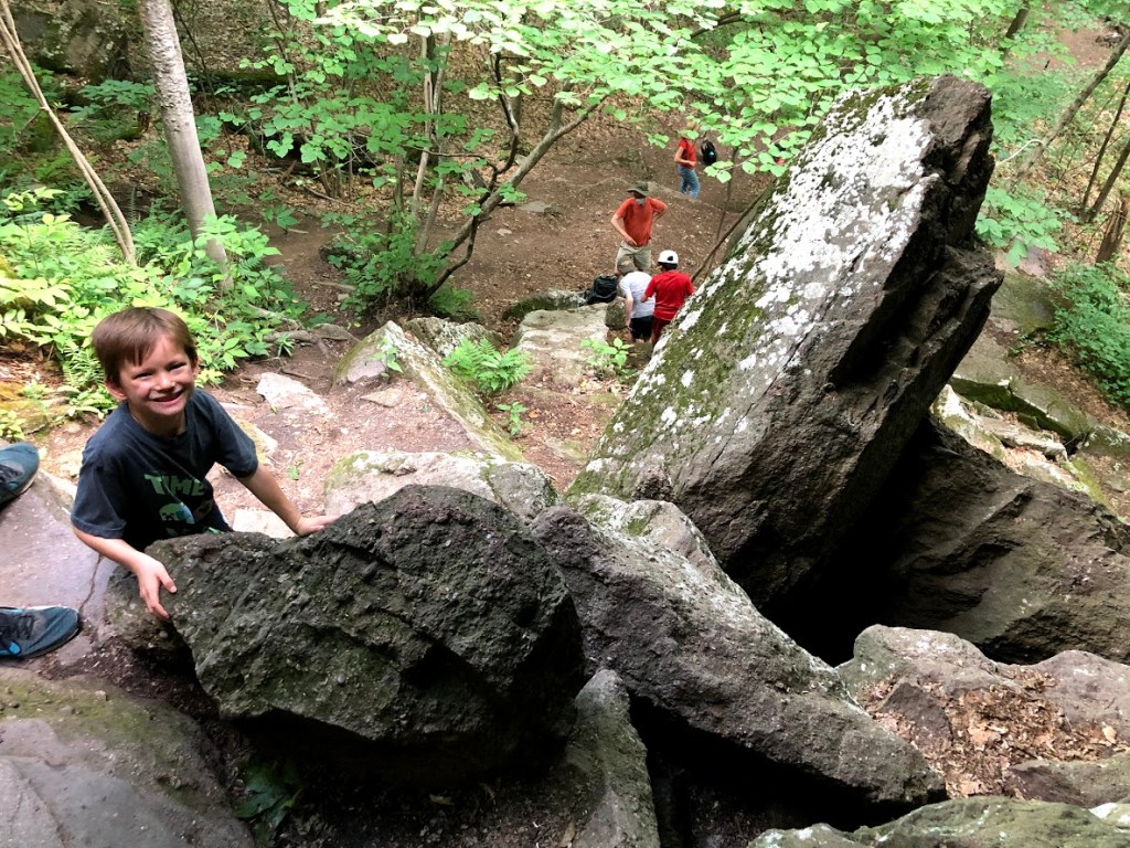
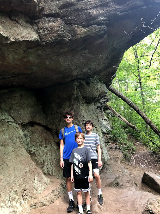
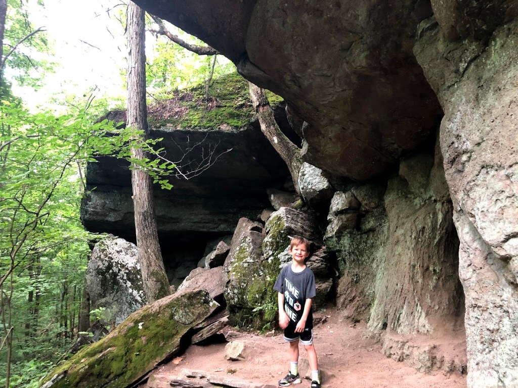
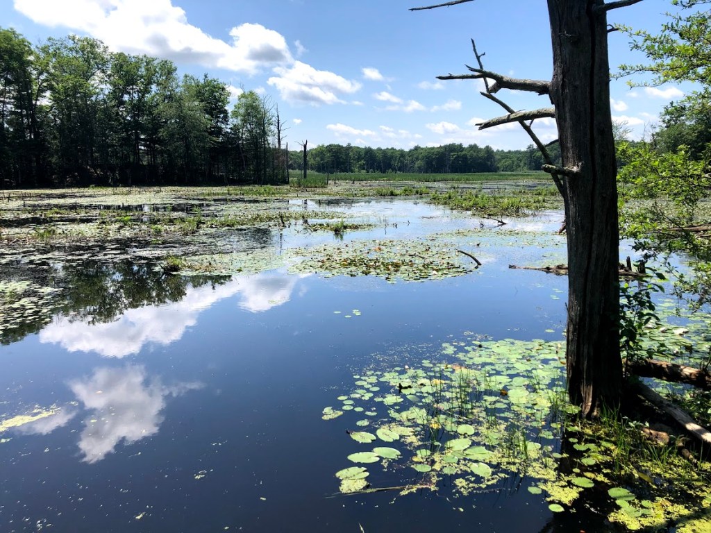
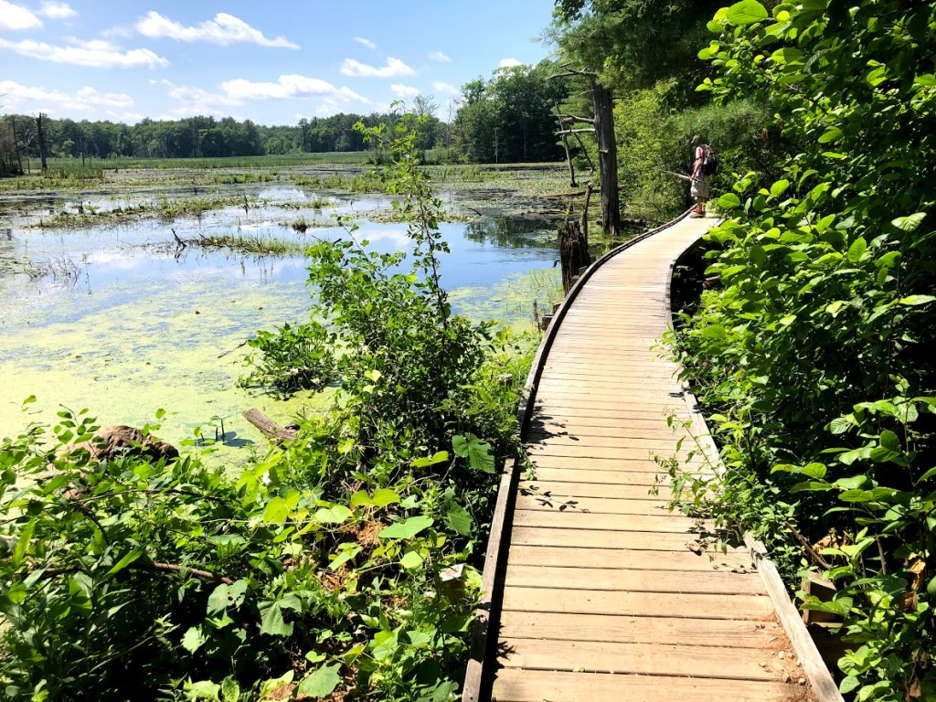
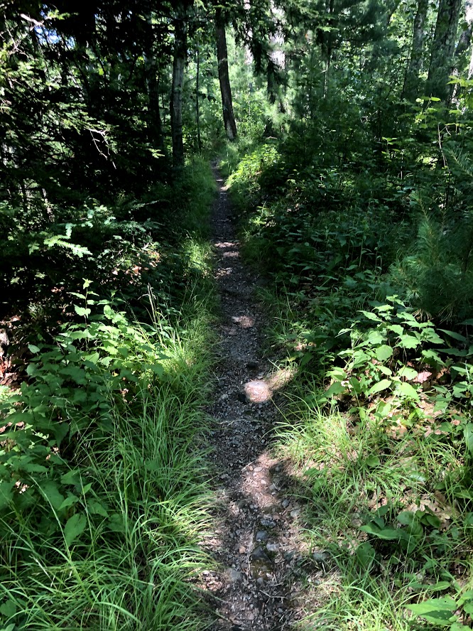
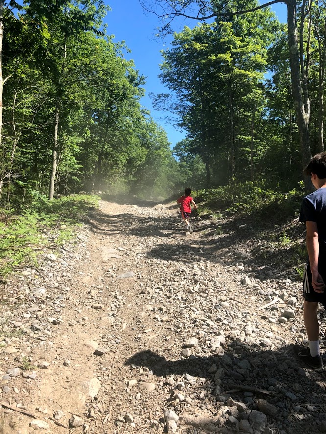
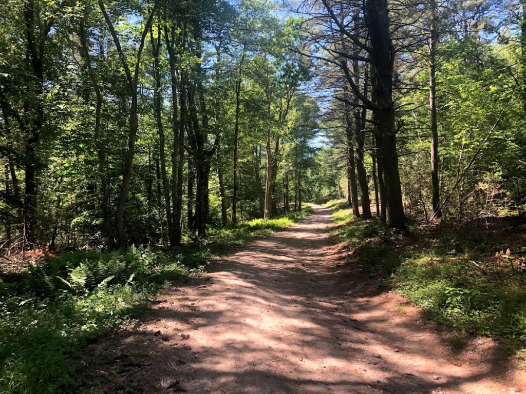
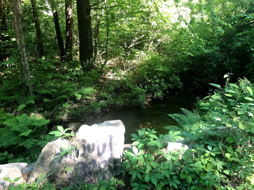
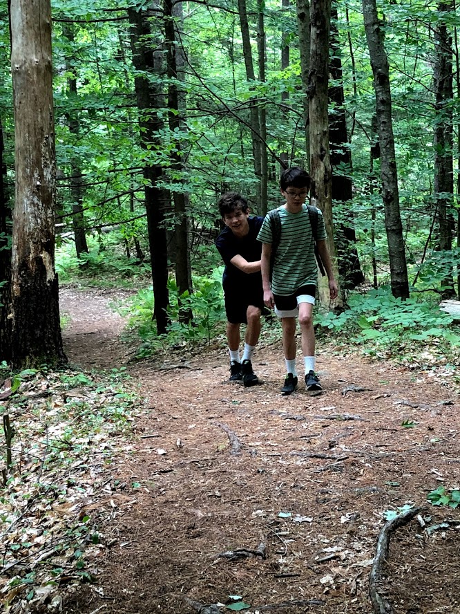
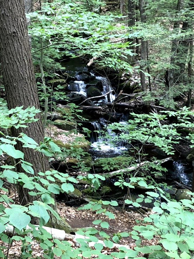
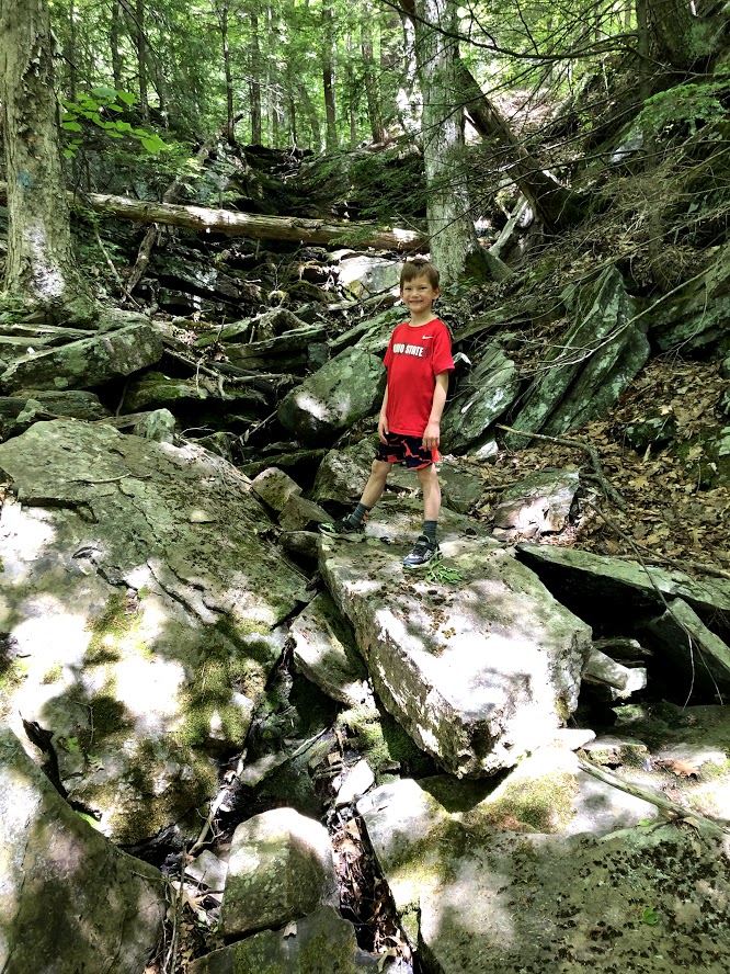
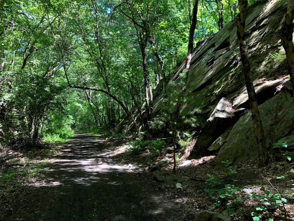
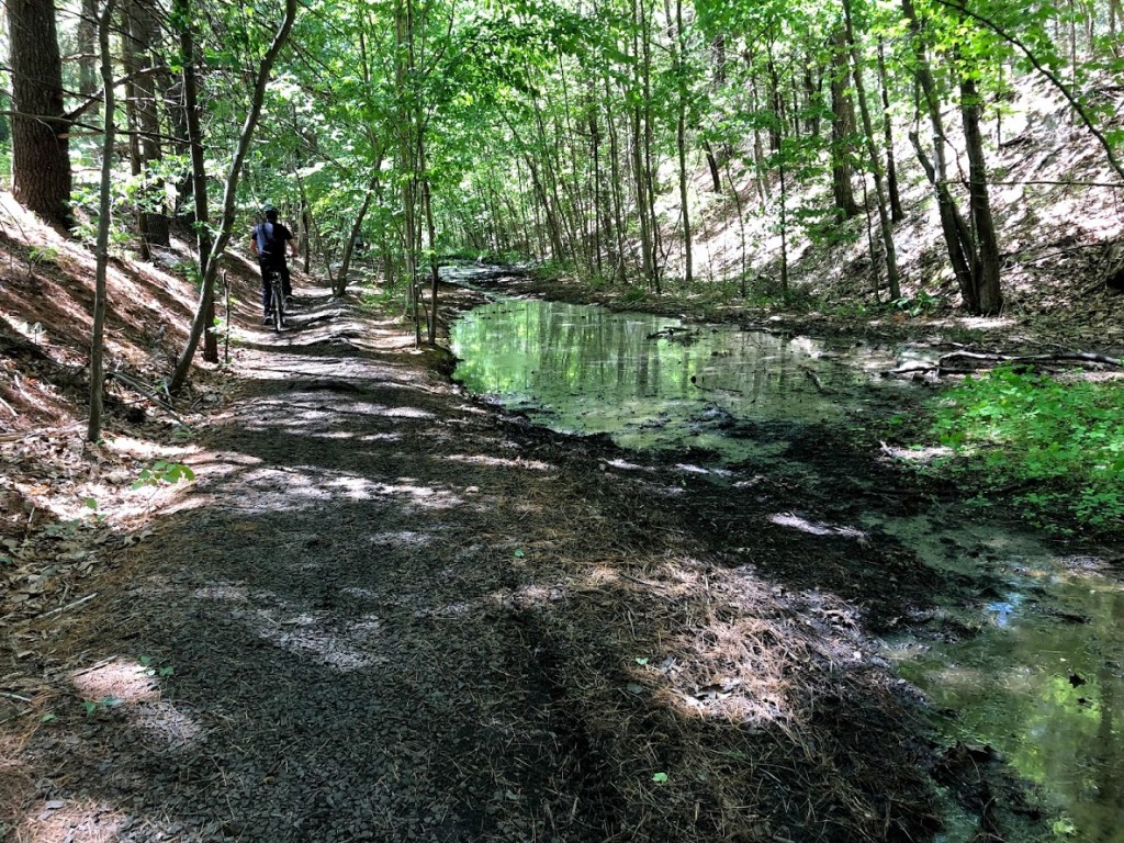
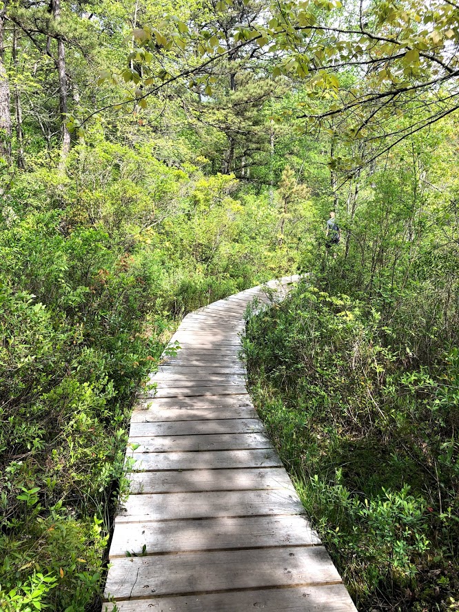
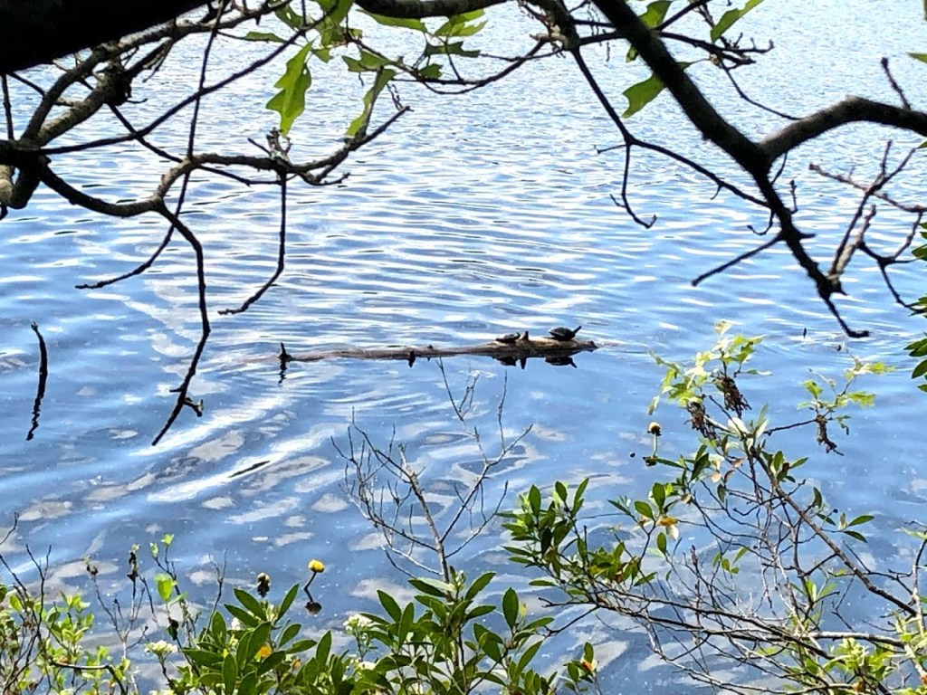
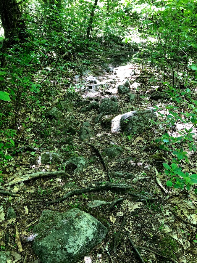
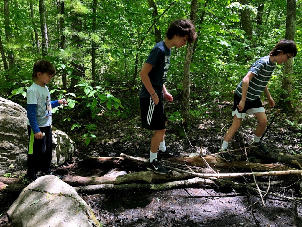
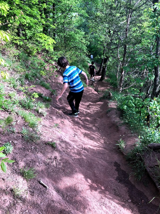
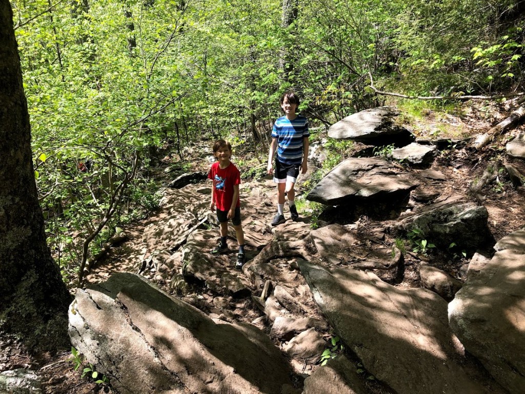
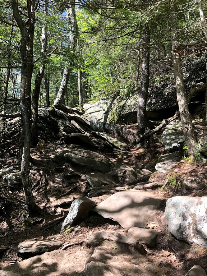
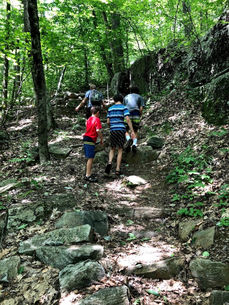
The loop trail was easy and flat, with glimpses of the pond throughout. Surprisingly it wasn’t very buggy. The trail was well maintained and there were little planks and wooden bridges at muddy spots. At about 0.5 miles from our starting point, we turned to the Appalachian Trail, and the trail immediately became much steeper. There was a section called “The Steps” that led uphill relentlessly to another small pond dammed by beavers. This smaller pond seemed to be suspended in air.

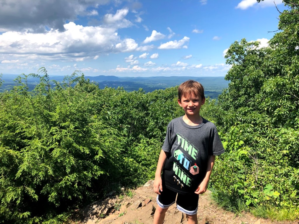
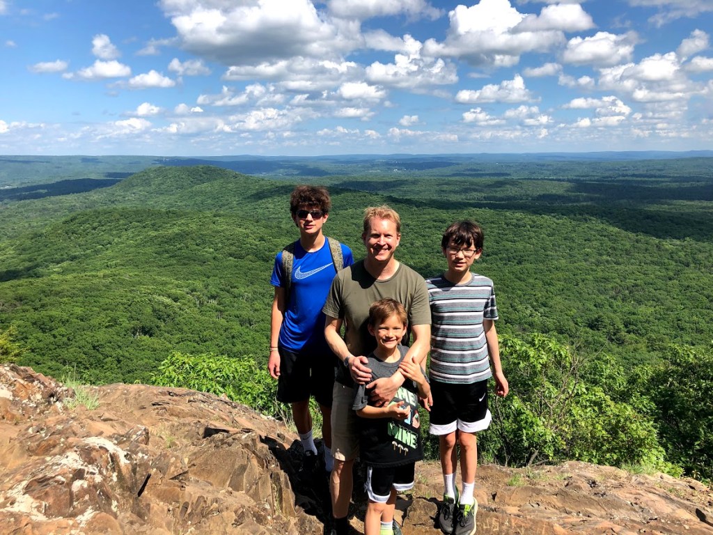
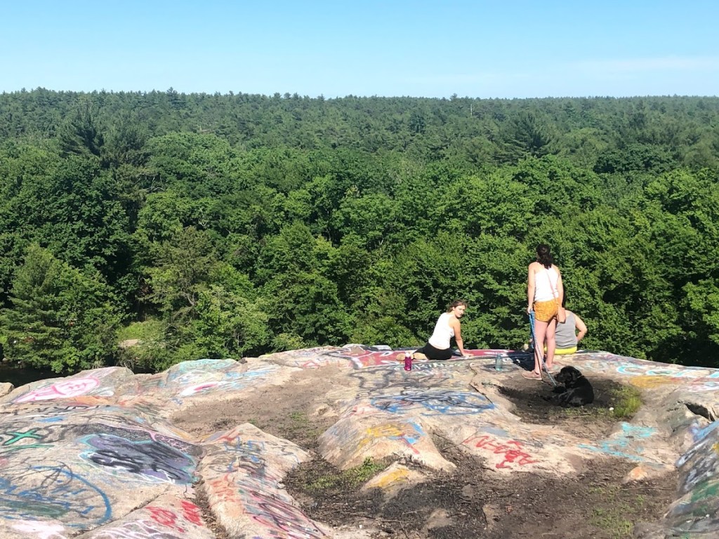
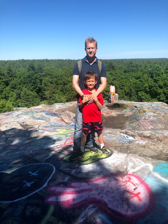
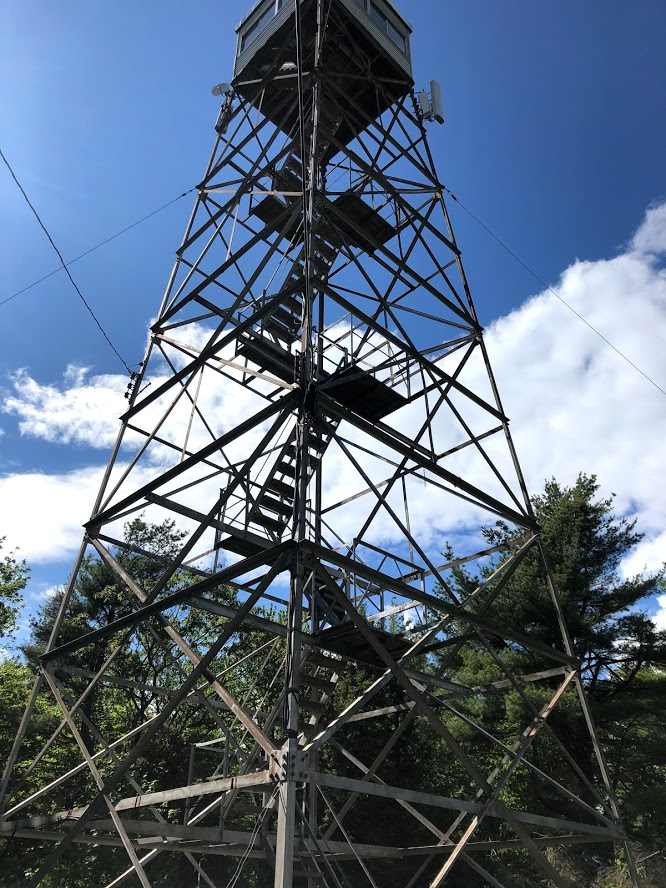
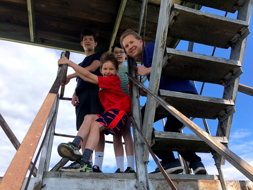
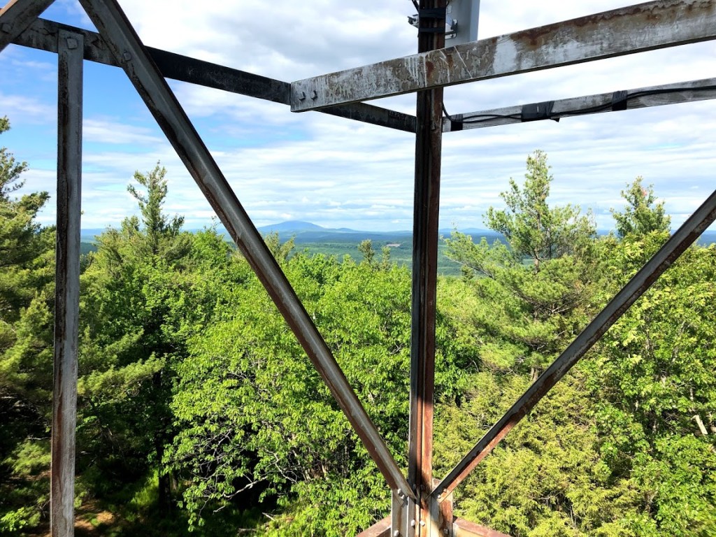
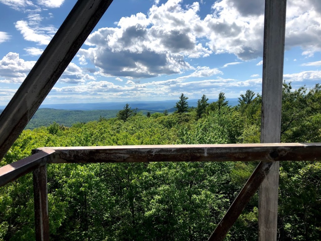
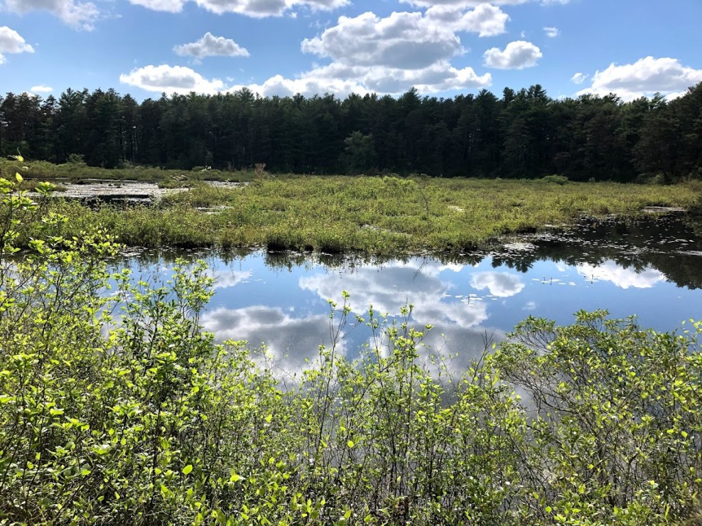
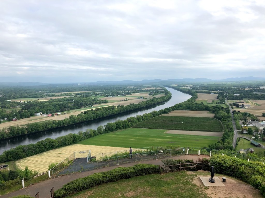
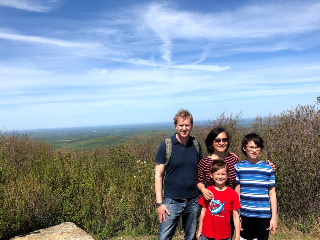
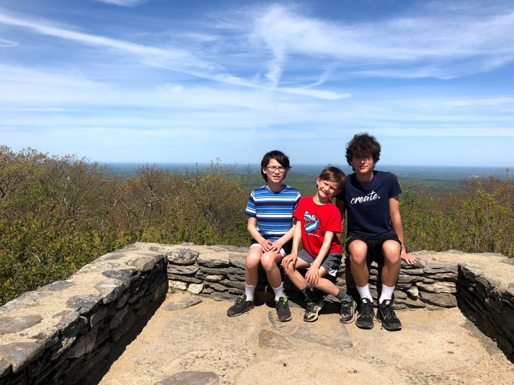
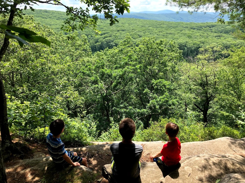
Soon after, we arrived at the Ledges. The Ledges opened up to the west and southwest, and gave us an expansive, 180-degree view, towards New York and the Catskills. We rested and savored the view. The loop trail was moderately trafficked, but this diversion to the Ledges was very quiet, so we enjoyed some solitude.

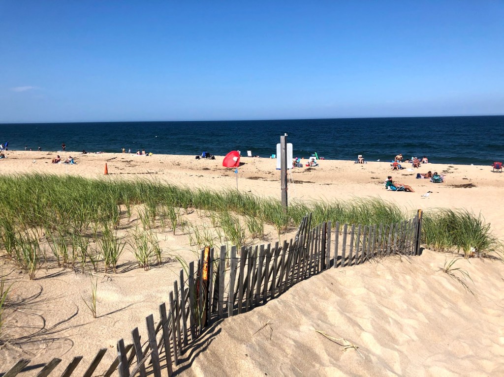
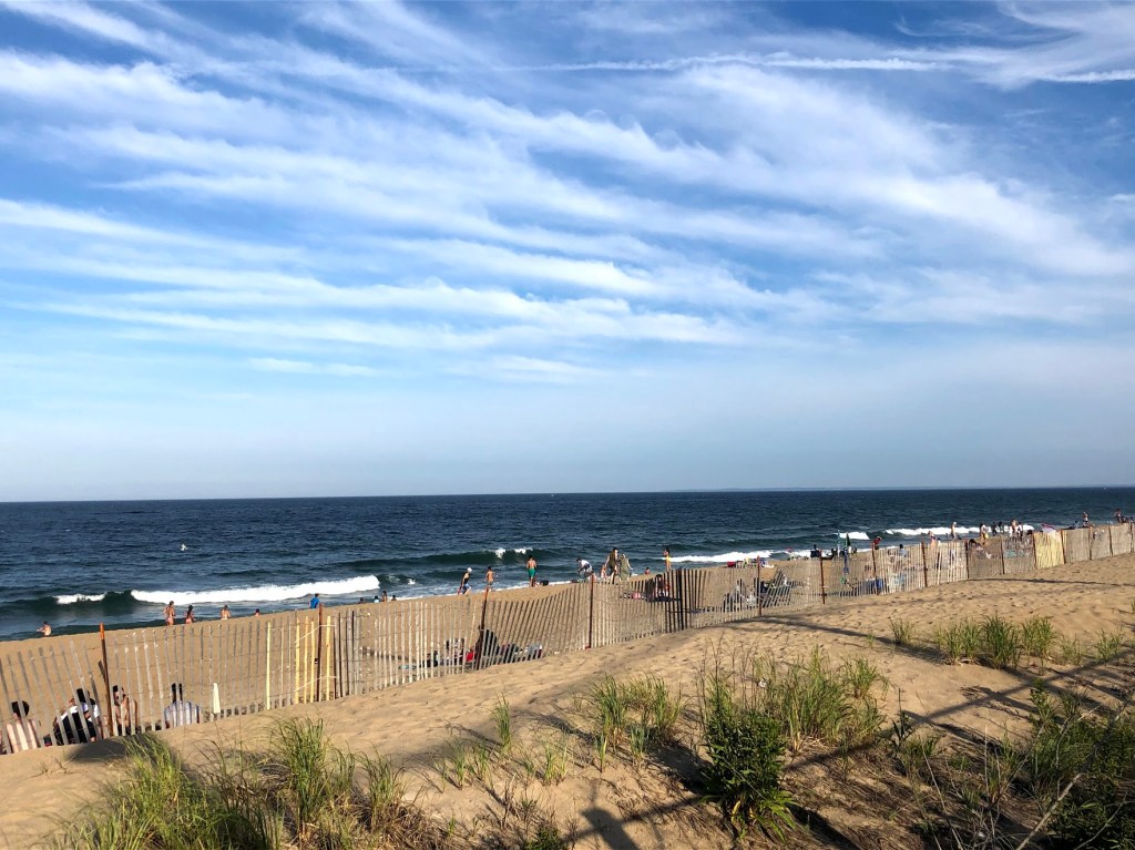
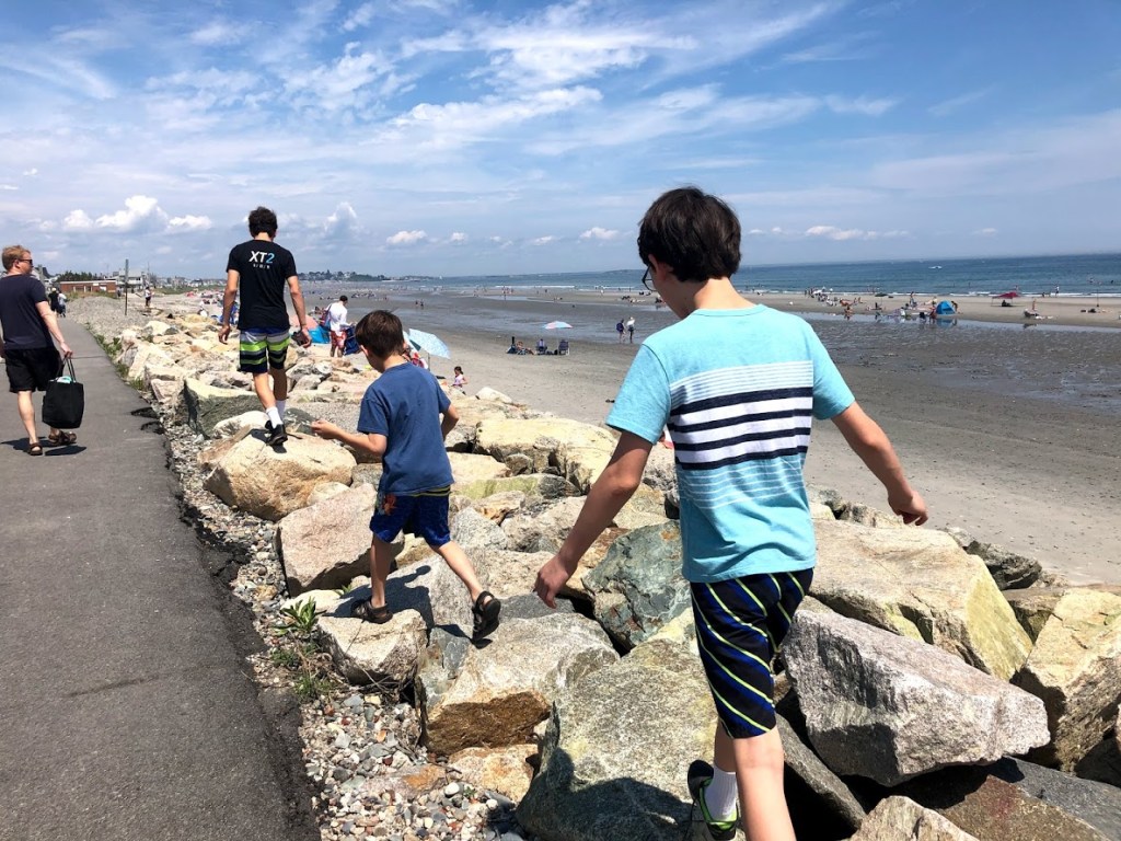
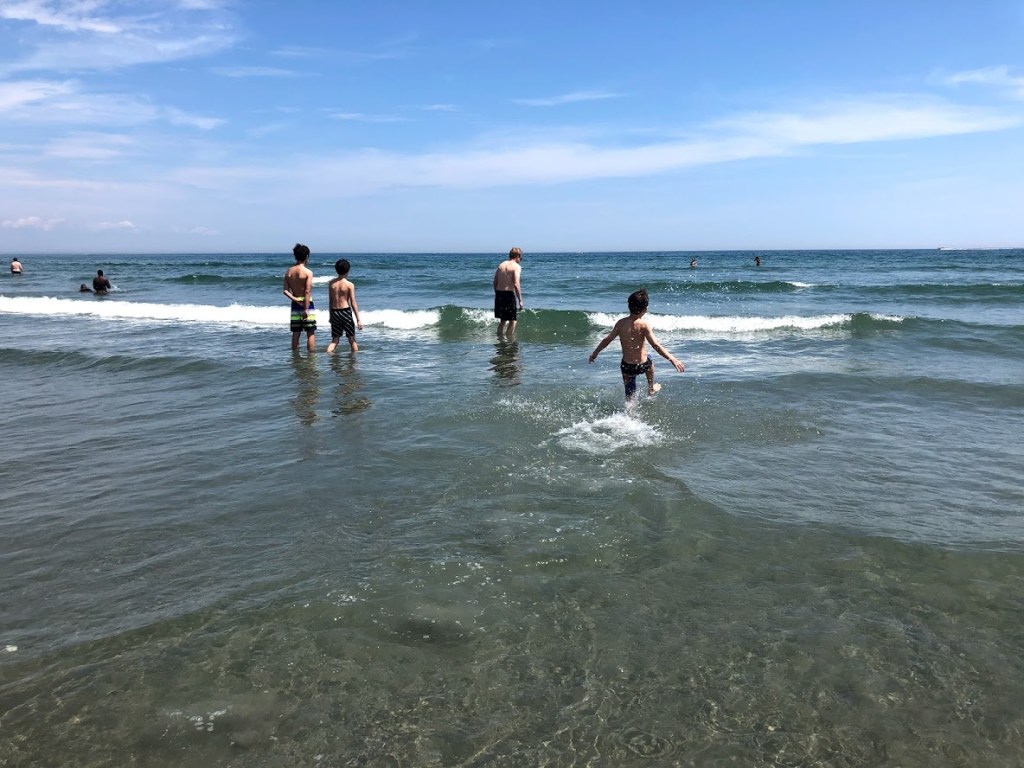
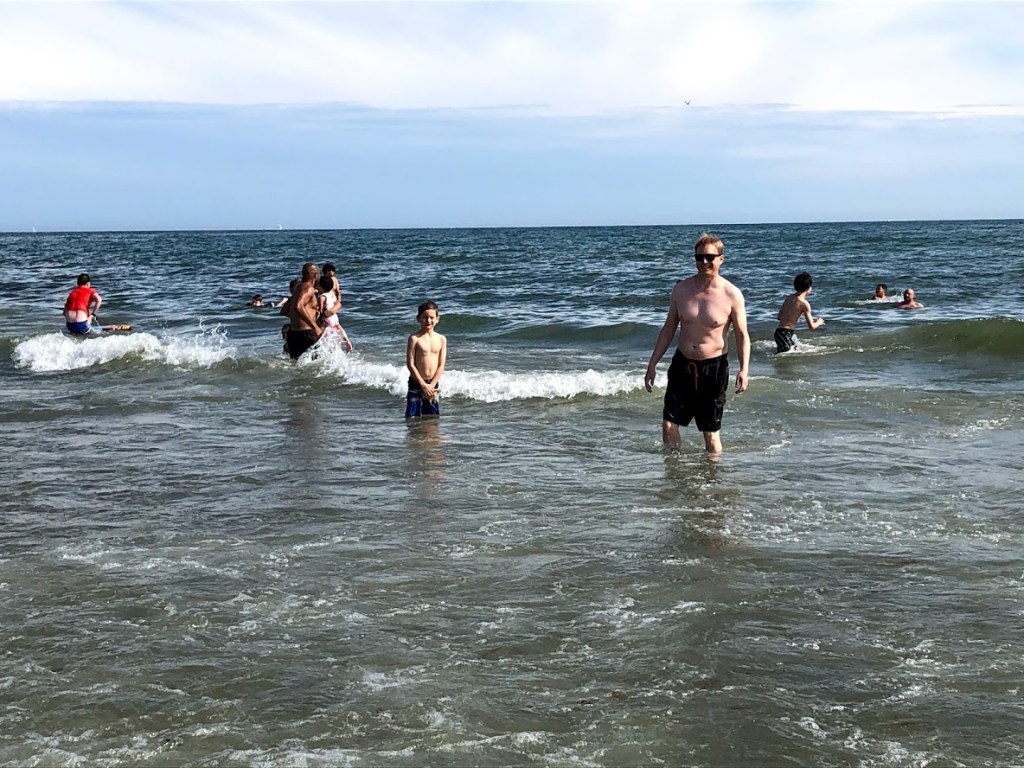
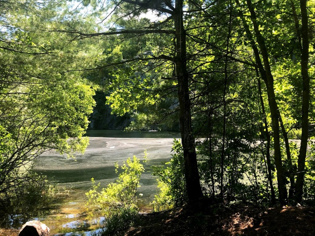
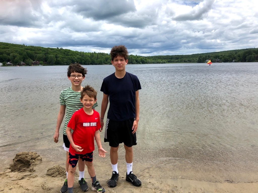
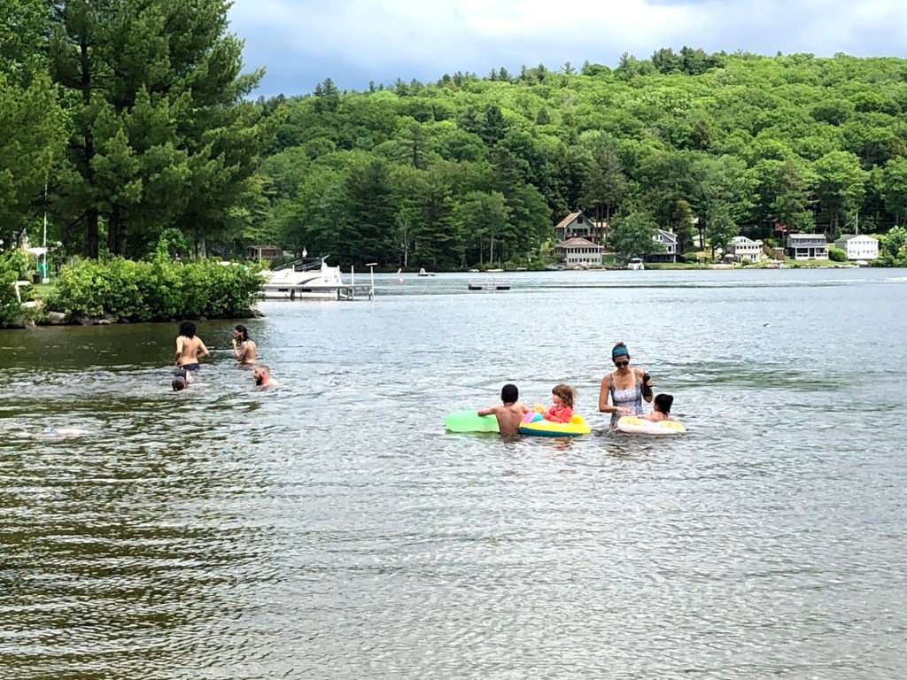
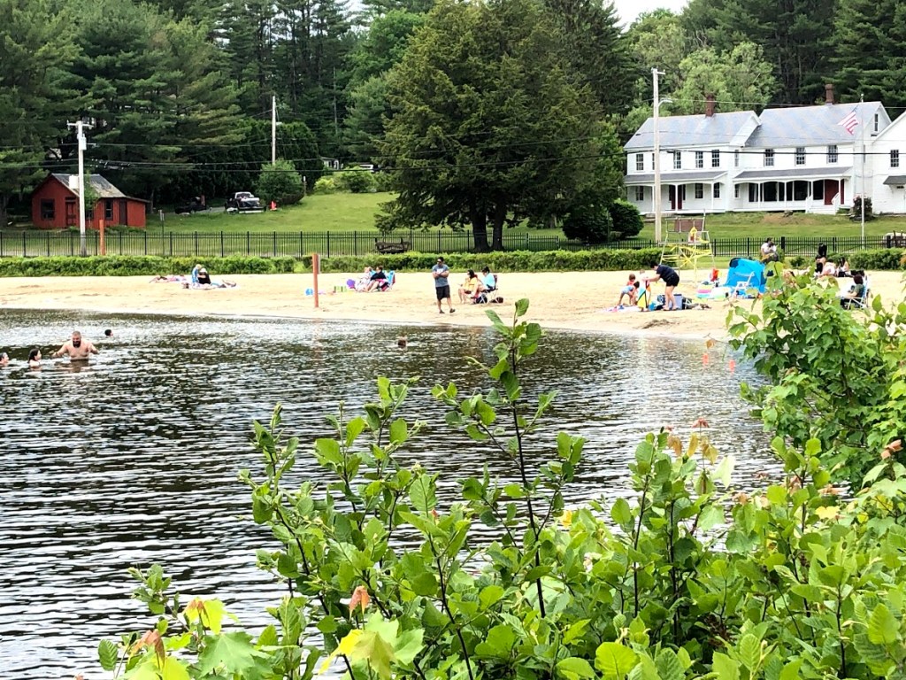
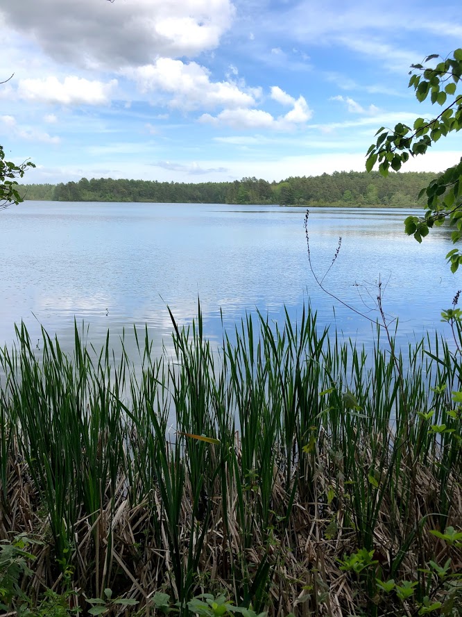
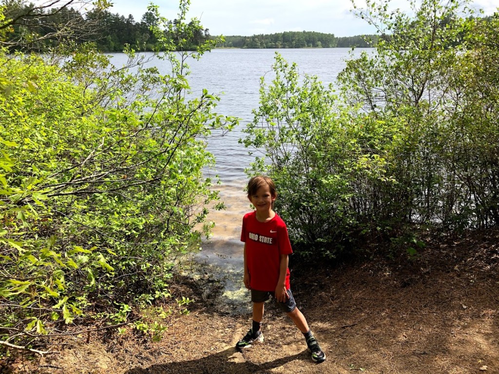
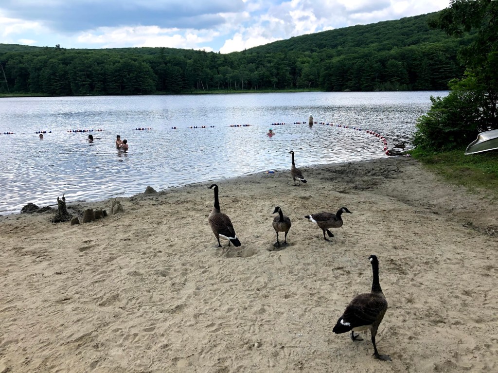
After this little hike, we doubled back the same way to the parking lot, and across a picnic area to the pond. We were told that Benedict Pond was one of the best swimming ponds in the Berkshires.

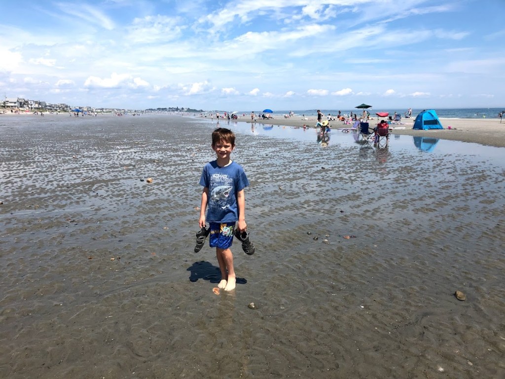
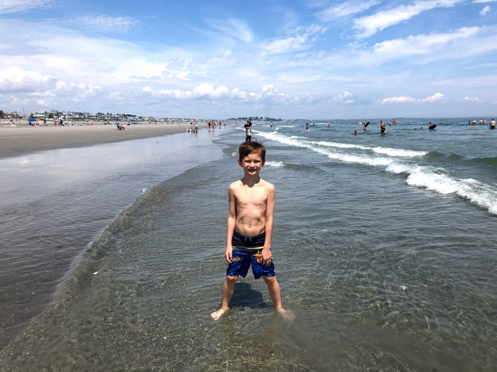
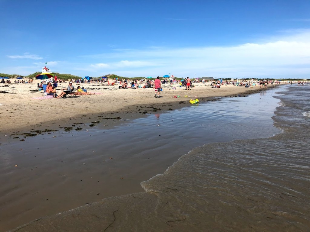
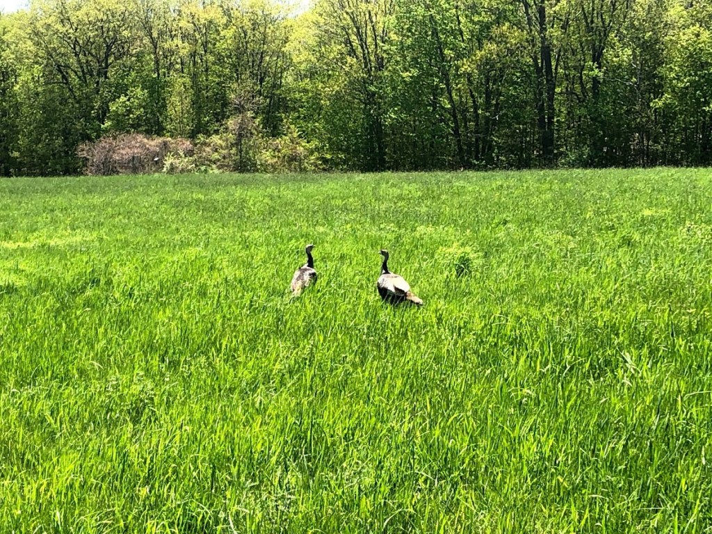
There is a bathroom and changing facilities, but no lifeguards. The beach area is quite small. There is a larger grassy area, and some benches. As we put down our bags and towels, we found that a family of geese seemed to live here, so there’s goose poop all over the grassy area. But the beach was clean.

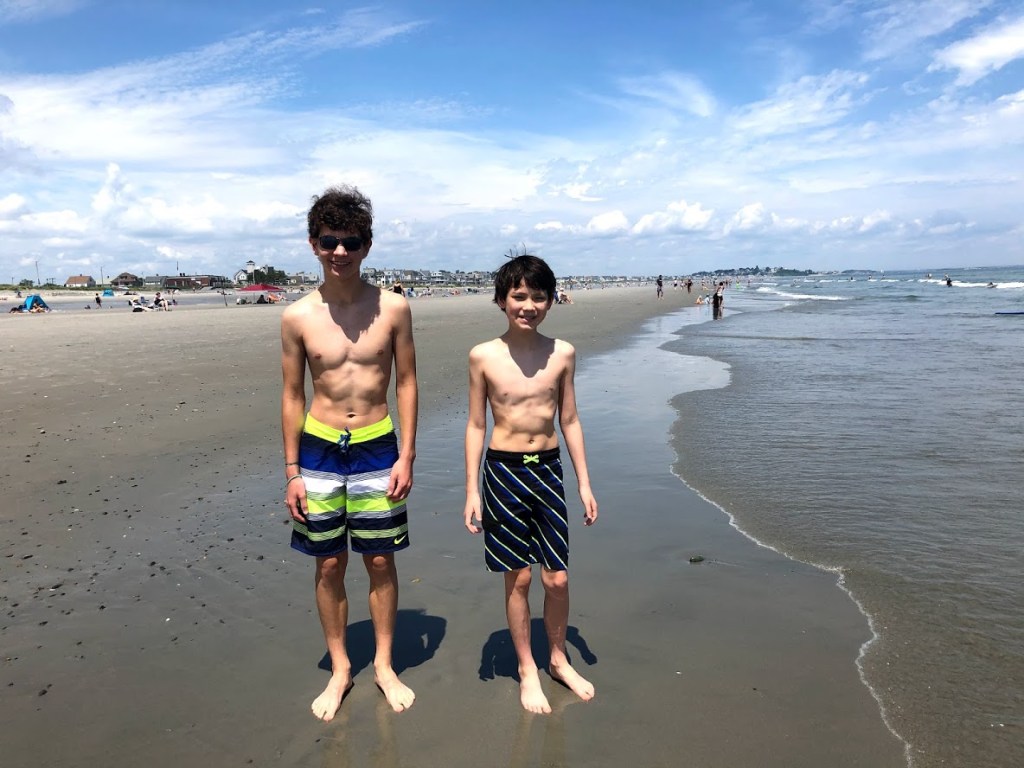
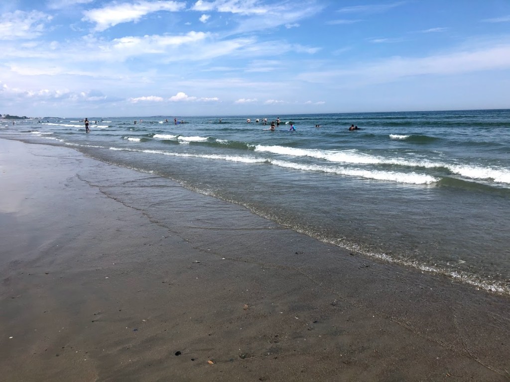
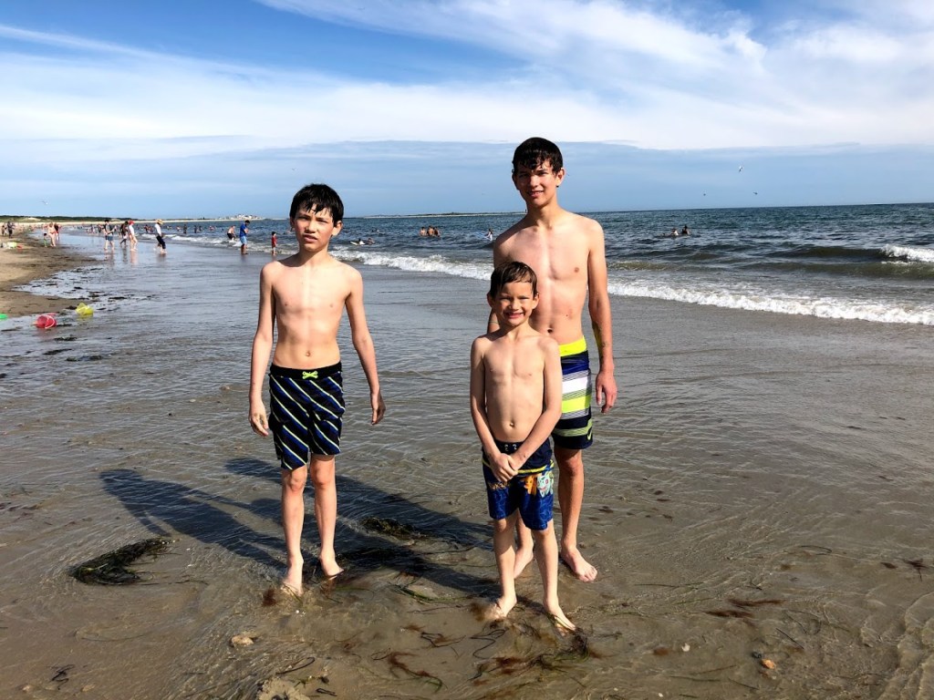
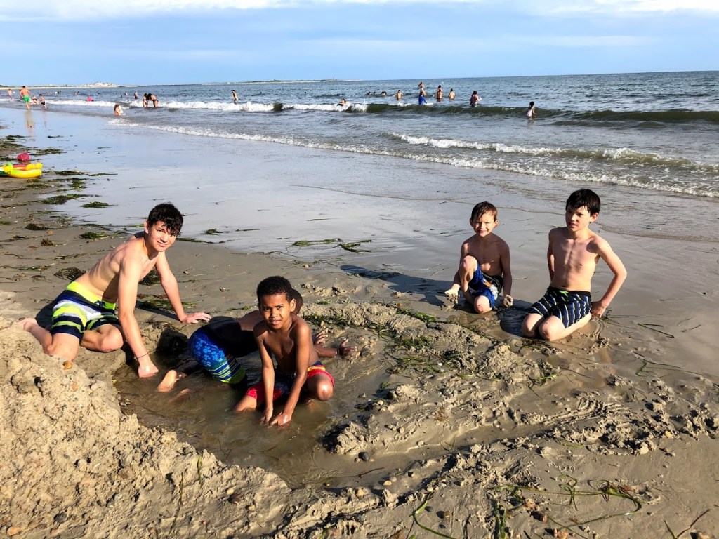
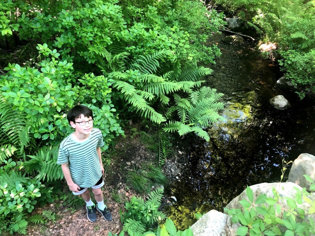
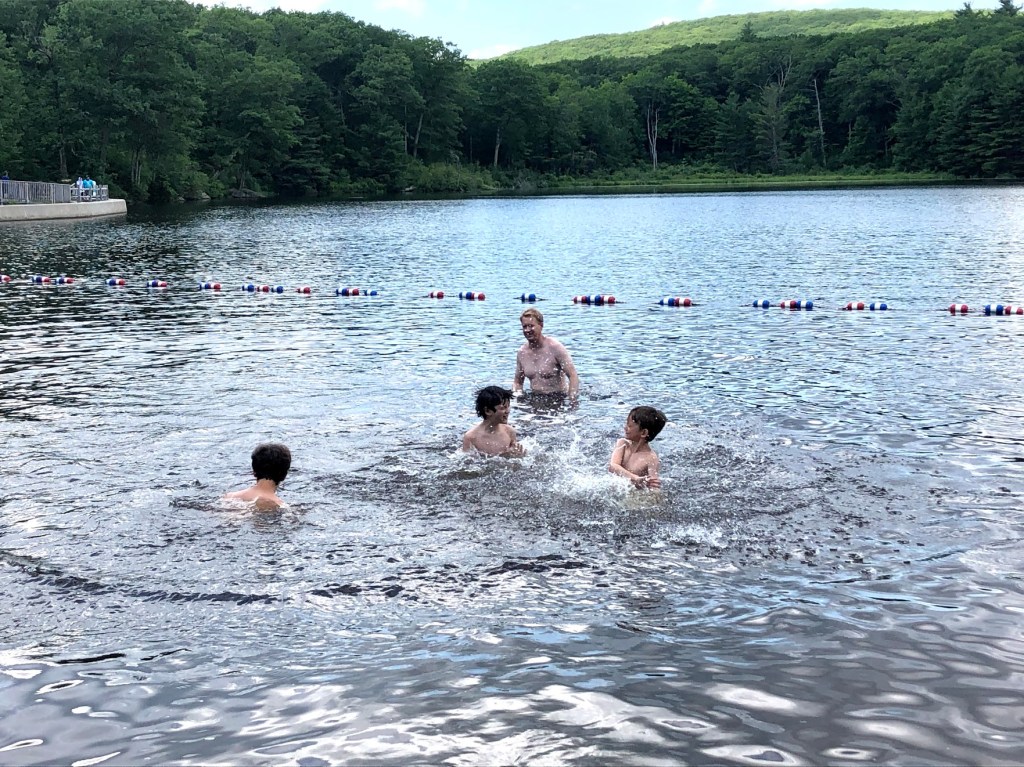
The water was cold and refreshing. There were some warm undercurrents here and there. The pond had a secluded and peaceful setting. We did not see any motor boats. The water was shallow and great for kids.

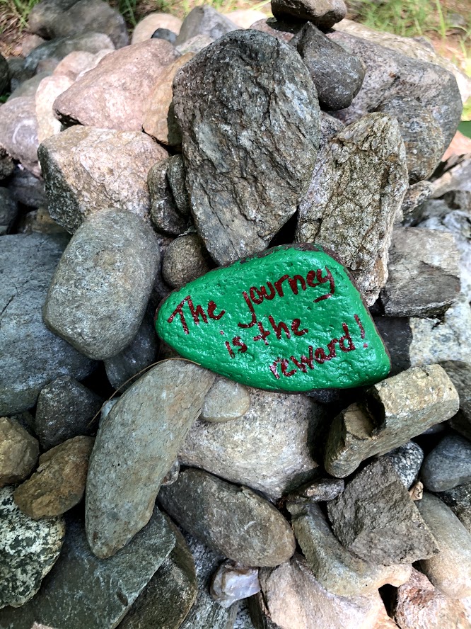
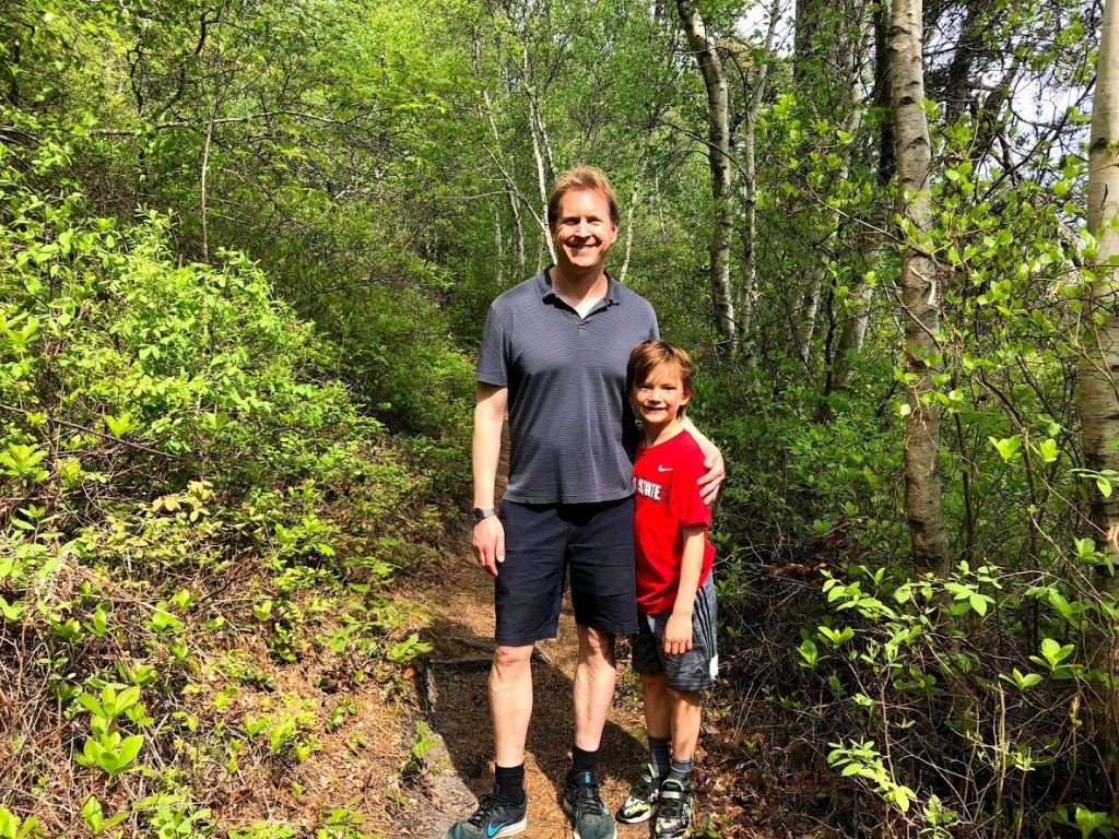
The hike to the Ledges was rewarding, and the dip in the pond afterwards made it even better.

  • A small beach with changing rooms right on the beach. Water is warm and backed by scenic views across the pond.
  • The pond is a good place to swim in the Berkshires, although pretty small.
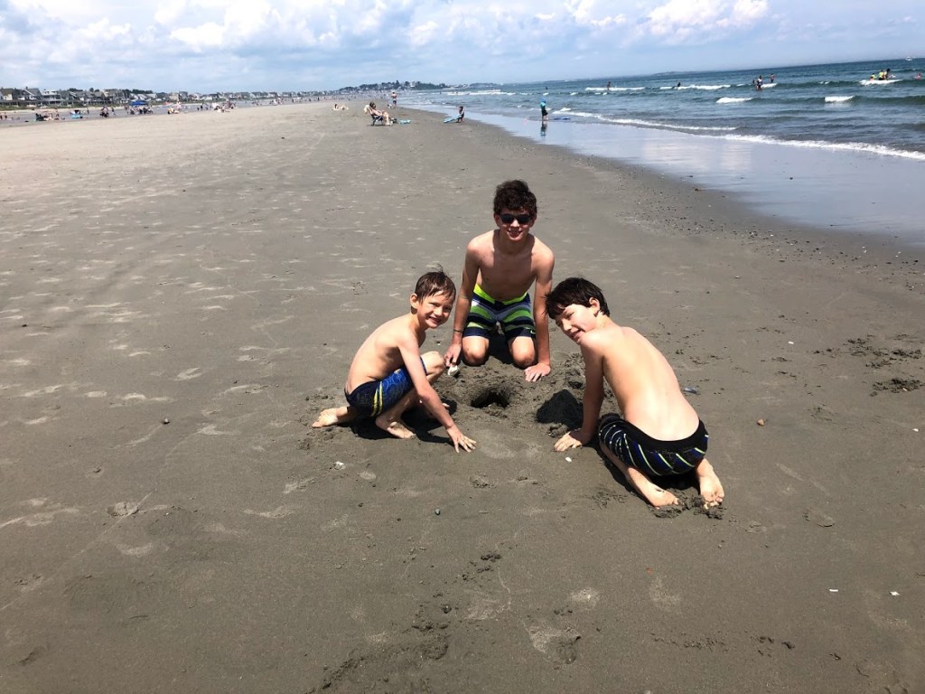
  • I found a dead fish and my brothers were too scared to touch it so I threw it into the bushes (no need to thank me).
  • The hike was okay but it was buggy, and the water was okay but it was brownish.
  • So there was a beach and there was a hike. The hike, daddy said it was short but it was long. The beach was very fun so it was very good.

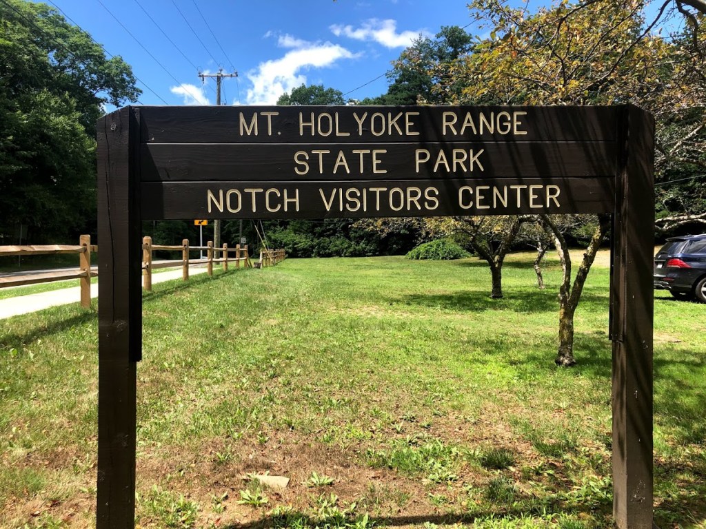
For more information: Beartown State Forest official site.

Mount Holyoke Range State Park

July 12, 2020 Sunny

Holyoke Range State Park covers the eastern part of the Holyoke Range and is adjacent to the Skinner State Park where we hiked Mt. Holyoke.

For this hike, we parked at the Notch Visitor Center. From the parking lot, we took the white blazed New England trail up to the peak of Mount Norwattuck and then descended on the Horse Caves Hike, returning on the Robert Frost trail.

The sign below points out that if you hike due north for about 10 miles you’ll actually cross the Norwottuck Rail Trail (a good bike path), which we reviewed recently.

In any case, this trail ascended pretty steeply and became fairly rocky.

The peak of the mountain, at 1,106 feet, is the highest in the Holyoke Range, and affords views mainly to the northwest of the Connecticut River Valley and beyond. You can also see some of Amherst’s buildings from here.

Continuing past the peak, we found a short trail to a ledge with views to the north. The ledge actually provided a wider viewpoint than the peak.

From here, the trail descended pretty steeply via switchbacks, passing some ledges and boulders in the hillside.

Soon we reached an area called the Horse Caves. Supposedly some of the rebels who fought with Daniel Shays (from Shays’ Rebellion, a protest against taxes and other injustices during 1786-87) hid in the caves after they were defeated by the Massachusetts militia.

The approach from the top is a kind of narrow gorge that ends in a “fat man’s squeeze” that descends to the caves (really ledges).

This section reminded us of a similar squeeze within Purgatory Chasm State Reservation.

Coming out of the squeeze you find the ledges.

There are a series of overhangs in the side of the mountain, some of which have small caves. The jumble of boulders also form some hiding places.

It’s definitely an unusual formation, and ledges continue along the side of the mountain beyond the background of the photo above. Definitely seems possible that it was a hideout. While we were there, another group of hikers spotted a snake inside a crevice in the rocks. Probably a good reminder to watch your step and your grip if you or the kids scramble around here.

From here, we descended the Robert Frost trail, a lush, wide trail that was relatively flat and easy on the feet.

We enjoyed our hike here and the varied terrain, interesting ledges, and history made it memorable.

  • Interesting variety in a short trail – the ledges were a real highlight.
  • This trail has everything – caves, ledges, woods, views, history.
  • It’s very rare that an isolated forest walk is free of insects.
  • It was very hot, but at least not buggy!
  • It wasn’t that buggy and it had a bunch of rocks and it was fun to climb on them and then there was a fat man’s squeeze that led to an overhang.

For more information: Mount Holyoke Range State Park official site.

Salisbury Beach State Reservation

July 11, 2020 Sunny

Salisbury Beach on the north shore has one commercial section with a lively boardwalk, and a State Reservation section which preserves dunes for nesting seabirds. We visited both on a day after a tropical storm touched down on the east coast.

There is plenty of parking in the State Reservation. The bathrooms are clean, and there are showers and changing rooms (changing rooms are closed due to Covid-19). The facilities were clean. Further on, there is a sun deck with picnic tables overlooking the beach. No kiosks and no commercial establishments, so any food has to be brought in from outside the State Reservation.

The views from the sun deck are beautiful.

We went when the tide was high, and the beach was narrow. The sand was nice but not very fine. Water was chilly and waves were rough, due to the aftermath of the tropical storm. Locals told us that usually the waves were much gentler.

Only a handful of swimmers in the water as it was really cold. The beach dropped off steeply so it quickly got deep. It would not be a good place for little kids and families. However, the big waves made it more fun and exciting for our kids.

The Mounted Police headquarters are nearby, and we saw a patrol on the beach.

After spending some time in the water body surfing, the kids retreated to building sand castles, which worked very well as the sand was a bit coarse.

We also visited the commercial part of Salisbury Beach. There is an outdoor seating area with a stage and surrounded by businesses selling hot dogs, fried dough, fried seafood, and ice-cream places. We had dinner there and walked on the boardwalk.

The boardwalk is raised so there is a great view of the beach on one side, and bars and game arcades on the other side.

Overall, Salisbury Beach is a beautiful beach with a lot of entertainment and food choices. The water is cold in July. Perhaps it warms up later in the summer? It is a fun place for teenagers. The State Reservation portion is more peaceful and perfect for adults to sunbath, relax, and read.

  • The beach is really beautiful and clean, but the water is a little chilly and it’s steep. Probably better for older kids and adults.
  • Water is too cold, perhaps year round? Good place to relax.
  • The waves were really big and the water was cold, but we (I) made a volcano.
  • the waves at the beach were really huge, but we lost balance a few times.
  • The waves had a riptide and it was cold but the fun part is we got to throw sand at seagulls till our dad said we can’t throw so we built a volcano.

For more information: Salisbury Beach State Reservation official site.

Georgetown-Rowley State Forest

July 4, 2020 Sunny

Georgetown-Rowley State Forest is separated from Willowdale State Forest by the Rowley Road. After crossing the road, we continued to follow Bay Circuit Trail and entered the forest at Marker #30. The trail took us immediately to a small pond fed by the Mill River.

This pond was really beautiful, especially after walking through the featureless Willowdale State Forest. We lingered on the boardwalk and enjoyed the views.

Although this park borders Willowdale State Forest, the trails here are wider and there are more ups and downs and more variety. There are slopes and switchbacks, and it felt less stifling. It also seemed to be less buggy and a bit cooler.

Overall, we saw more families on this trail and this park seemed to be more popular than Willowdale State Forest.

  • The Mill River and bridge were the highlights of this walk. Willowdale was less interesting and somewhat buggy.
  • The pond was beautiful and it was less buggy and more breezy.
  • It was really buggy so me and Miles took the lead and we got outta there.
  • The trail was less, narrow and rocky, but it was still buggy.
  • It was really buggy but it wasn’t that hot and it was pretty good.

For more information: Georgetown-Rowley State Forest official site.

Willowdale State Forest

July 4, 2020 Sunny

Willowdale State Forest borders Bradley Palmer State Park on the south side, and Georgetown-Rowley State Forest on the north side. The Bay Circuit Trail goes through all three parks. Seeing that we could do two parks at once, we decided to choose a trail that’s closest to Georgetown-Rowley State Forest.

We parked at the trailhead of Marker #70 on the Bay Circuit Trail, near Hood Pond where people were fishing and boating. There is only enough parking for 1 car, and beyond the gate, the trail was narrow. We were soon surrounded by ferns.

We saw a few mountain bikers, but not many hikers. This section of the park did not seem to be very popular. It was hot and humid, and there were a lot of mosquitoes. We soon saw why. We were walking on a ridge, with both sides dropping into swamps.

There were many side trail, but we followed the well-marked Bay Circuit Trail.

The trail narrowed again as we got closer to the road separating Willowdale State Forest and Georgetown-Rowley State Forest, but also seemed rockier.

Overall, this trail in Willowdale was relatively flat and quite featureless. There was not a lot that’s memorable. On the other hand, it might just be the trail for someone seeking solitude.

  • A pretty unremarkable trail that follows a ridge within the forest.
  • Just another trail in the forest but hot and buggy. Quiet for a reason.
  • Day 324 of hiking in the vast, unexplored, wilderness. The mosquitos have evolved to bite through clothing, it appears. More updates later.
  • The trail was thin and there were a lot of bugs and it was hot.
  • There was still a bunch of bugs, it was hot, and it was kind of narrow.

For more information: Willowdale State Forest official site.

Nantasket Beach Reservation

June 28, 2020 T-Storms

Nantasket Beach Reservation is a beach in the town of Hull. It sits on a peninsula facing the Atlantic Ocean.

The beach is a mile long and has fine grey sand. Apparently it’s been a popular destinations since the early 1800s and even Ralph Waldo Emerson spent some time here in 1841. It had an amusement park in the early 1900s, which is now gone, but there’s still a carousel.

In any case, the day we came was in the low 80s and, although we came around 11:30 am, there was still plenty of parking. Due to Covid-19 the parking along Nantasket Avenue was closed off, but we found a really convenient lot near the bathhouse for $20 for the day.

A first impression is that the wide stretch of beach here looked really beautiful and inviting.

It’s also pretty wide compared to other beaches, and I guess at low tide the middle section of the beach is left wet, but there are actually areas that form a kind of pool maybe 1 foot deep, so it’s perfect for little kids to play in. And the water is really warm in these shallow areas (like bath water). You can see some of these in the background below near the blue tent.

The water was really clear but also a little chilly for me at first.

But the kids ran in first and I followed. You can see I’m a little hesitant here as I’m still “getting used to it” but Miles already is soaked and splashing around.

The water is crisp, let’s say, but it warms up after a bit. It seems cooler than beaches like Horseneck Beach State Reservation on the south coast of the state.

But one great thing about this beach is that it’s pretty shallow, so kids can wade out without fear of a sudden dropoff. There are also lifeguards on watch in case something happens.

After some brief swimming, the kids mostly played in the sand.

This beach has a few key attractions – convenient location and parking, wide and sandy beach, a bathhouse with restroom and showers, and plenty of local restaurants when you get hungry.

I guess the water temperature is something to keep an eye on, but visually it’s really appealing and we enjoyed our time here.

  • A wide, clean, sandy beach. The water is clear and it’s family-friendly for the kids.
  • Really nice beach. The water is shallow, waves are gentle, and sand is fine. The water is cold though, and not a whole of food choices nearby.
  • We found worms in the sand and my brothers were too wimpy to help me dig them out.
  • It was so cold but it was okay.
  • The water was cold and we made 3 sandholes.

For more information: Nantasket Beach Reservation official site

Horseneck Beach State Reservation

June 21, 2020 Sunny

This is a lovely 2-mile long beach on west end of Buzzard’s Bay, in southeastern Massachusetts, just on the border with Rhode Island. The day we visited had sun with high, wispy clouds and temperatures in the 80s.

First of all, there is a huge parking lot, and I found out that it only will fill up around noon on particularly hot and popular days, so you don’t need to rush to get a spot. We visited around 3 p.m. so there was plenty of parking and the day was still warm.

What’s great is they have restrooms and changing rooms right by the parking lot, with a cool wooden boardwalk to get you across the dunes to the beach. On the other hand, be sure to bring your own food and drinks, because there’s no snack bar.

The beach is pretty wide and sandy, but there is a thin strip of smooth rocks closer to the shore that you need to step over to get down to the water.

We found a spot farther back on the beach that was sandy, with fewer rocks mixed in.

The day we visited, the water seemed a bit chilly at first, but we all quickly adjusted and enjoyed it. Looking at the historical temperatures, it was about 68 degrees. But the sun and warm onshore breeze helped out.

Although there was a small amount of seaweed, the water was clear and the bottom very sandy and smooth. We also had a little wave action for the kids to enjoy.

After some swimming, the kids spent most of their time digging in the sand. A few others joined in to help them.

Meanwhile, I enjoyed walking along the shore in the warm waters. It was very peaceful and picturesque.

As we left, we noticed all of the protected dunes, covered with grass and flowers.

You can see how inviting this looks on a lazy weekend afternoon.

We all had a warm, relaxing afternoon at the beach. Given the relatively warmer waters in the south part of the state, plentiful parking, and soft sand, I really recommend this beach for families.

  • A clean beach with soft sand and relatively warm waters. Plenty of parking, good facilities, and a peaceful feel.
  • Water was warm. Beach was rocky and narrow.
  • The beach was very rocky but we were able to play with some kids so it was fun overall.
  • It was a good beach but there was lots of seaweed.
  • The beach was rocky and the water was cold but we got friends and we made a water hole.

For more information: Horseneck Beach State Reservation official site.

Halibut Point State Park

June 13, 2020 Sunny

Halibut Point State Park is a very popular destination on Cape Ann in the summer. There is almost always a line of cars waiting to get in. Rangers are posted at the front gate to turn people away. When we came in the early afternoon of a beautiful summer day, we had to wait for over half an hour to get in.

Halibut Point was once a large granite quarry called the Babson Farm Quarry at the turn of the 20th century. There is a self guided trail around the perimeter of the quarry. A pamphlet from the visitor’s center provides a very detailed history of the quarry.

The quarry is beautiful on a sunny day. The water is blue and clear, and very inviting. However, swimming and diving are strictly prohibited. The only swimmers in the quarry are these geese.

Along the guided trail, there are many side paths for scrambling down to the water’s edge. Or one can stay on the main path which is level and easy, and still gets a great view.

Beyond the quarry, a side trail takes us to a scenic vista point for a panoramic view of the ocean. Another trail goes down to the rocky shore.

This is where the fun begins. The boys loved all the scrambling. They looked for crabs and other creatures in the crevices. They studied the seaweeds. They also loved to get really close to the tide, and then wait for the last minute before jumping out of way before the waves splashed down. Occasionally they got wet, and it proved their courage somehow.

The rocky shore of Cape Ann is very dramatic. In the distance there are many lobster traps. We also saw a seagull catching and taking a fish to a large rock and was prepared to eat it, when a wave swiped the fish off the rock into the ocean. It was like a nature show for the kids.

Some families and couples spread out a picnic on the rocks by the sea. We went to a fried seafood shack called “Lobster Pool” just outside of the state park. This place has outdoor seating with a commanding view of the sea. The food was delicious and the view of the sunset was breathtaking.

Halibut Point State Park is always one of our favorite places, and it didn’t disappoint this time.

  • This is an amazingly picturesque state park. Especially great for kids to explore the coastline.
  • One of our favorite! Absolutely stunning quarry and ocean views. Parking could be tricky in the summer.
  • Big quarry filled with water right by the beach. Very epic.
  • The quarry was filled with lots of water, and the walk was short. It was fun to see the waves crash against the shore.
  • We went to a big quarry with a bunch of rocks and we went up close to the water and I threw rocks in it and it was cool.

For more information: Halibut Point State Park official site

Freetown-Fall River State Forest

June 14, 2020 Sunny

The Freetown-Fall River State Forest is a 5,000 acre forest in southeastern Massachusetts that is mainly for hiking, horseback riding, or riding dirt bikes. Part of it is also home to a Wampanoag (Native American tribe) reservation.

We took a roughly 3.3 mile walk called the “Ledge Loop”. This lasso shaped loop goes to a ledge along an old quarry. The walk is pretty flat and is mostly a gravelly road like this, which is crossed by dirt bike trails on either side. In the picture below you can see a large dirt hill for bikers.

Some sections are more shaded, with dense forest on either side.

About half-way through we suddenly came upon an old quarry, which looked kind of murky or had a film on the surface.

We don’t have a picture of the ledge that day, because we were watching a group of kids down below urging one of their friends to go for it, and jump off the ledge into the water (see the stock photo below). This young guy took a running leap and dropped about 90 feet into the water below with a loud slap.

But what was really terrible was the silence – and that he didn’t surface after a few seconds. The group of kids jumped in and swam frantically over as bystanders on top tried to point to where he hit the water. His friends from the ledge ran down to help.

In any case, we watched all this unfold for a minute or two but then decided to move on. I felt shaken and knew that somehow this young man must have been really injured.

I’ll come back to that later.

As we continued along the path and were nearing the ledge, we heard an ambulance siren. When we reached the ledge, the very same place the man had jumped from, the women in the picture motioned for us to stay back. They were watching a rescue happening in the quarry below. In any case, we kept a safe distance, took a few pictures, and then finished the loop.

A group of park rangers passed us on the loop, probably connected to the rescue mission.

The rest of the trail was uneventful, except that the forest was dense and, strangely, a lot of trees and boulders were spray painted. We had never seen this before at any park, but here are a few examples. It was a sad sight to see.

This section of the trail was shadier, and we did come upon some lovely little brooks, which were the prettiest part of the loop.

We finished the walk solemnly. As we approached the parking area, we saw police talking to the group of young men we recognized from the quarry. The mood was very subdued. They were recounting the details of what had happened to their friend.

Epilogue:

It turns out that the young man who jumped was only 19 years and and was in fact seriously injured in the fall, as this article describes. I don’t know what happened ultimately, but he had to be airlifted to a Rhode Island hospital with serious head injuries.

It turns out that maybe every year or two there’s a serious accident like this at the quarry, but it was a terrible thing to witness in person (all 5 of us saw him jump), and very strange that we came upon that exact spot at that moment. We were only there for maybe 30 seconds when it happened. It left Diana and me shaken.

I should also mention that the forest is part of the Bridgewater Triangle, an area of supposedly high paranormal and UFO activity. The forest itself has been the site of some other accidents, murders, and various strange incidents.

I went there expecting or at least hoping to find something a little spooky or weird, but didn’t expect to witness a tragic accident. In the end, I can’t really recommend this forest for the trails. Probably it’s better to skip it unless you really like to ride motorized dirt bikes.

  • The trail was rough and gravelly, and the forest was dense but not picturesque. I can’t say it was a haunted forest, but it was a strange place.
  • This place was creepy. The trails were dusty and rocky, and there were too many motor vehicles.
  • Supposedly this forest is haunted but nothing happened.
  • The forest was supposed to be creepy but it was just weird.
  • The forest was kind of scary because a person jumped off a really high place into the quarry. And he had to be taken to the hospital.

For more information: Freetown-Fall River State Forest official site

Mount Grace State Forest

June 7, 2020 Cloudy

Mt. Grace is a monadnock in Warwick, MA just a few miles from the New Hampshire border. The peak is 1,617 feet and although it’s mostly wooded, it has a firetower on top that provides great views.

It’s named for Grace (Sarah) Rowlandson. She and her mother Mary Rowlandson were kidnapped by Native Americans and held for about 11 weeks in 1676. Her daughter died during the ordeal, and Mary later wrote an autobiographical account, which was a kind of “bestseller” of its time. It’s actually pretty short and interesting, and well worth the read.

We parked at the main lot and took a 2.6 mile roundtrip trail up to the top. The trail starts out fairly steep, with a steady climb up the side of the mountain. It’s mainly soft and pleasant to walk on.

The last half-mile is a gravel road that winds up to the peak.

After a final steep section of the road, we reached the firetower. A ranger was there in his pickup and he motioned that we were free to climb to the top.

Unfortunately due to Covid-19 the top lookout was closed, so we had to rest on the stairs.

I have to say that although the tower was solidly built, it was kind of scary for us (the parents) to climb the stairs, but the kids had no problem scrambling to the top.

In any case, the views are really good all around. Here you can see the view of Mt. Monadnock in New Hampshire, about 20 miles to the northeast. That summit is 3,165 feet and it’s cited as one of the most-hiked mountains in the world, according to Wikipedia. I highly recommend hiking it, if you haven’t already.

Coming down the tower, we checked out a large boulder with some early and modern inscriptions left by hikers, although the informational plaque was missing.

At this point, we turned and descended the trail on the same route, exploring the large field at the base of the mountain.

  • The forest was really pleasant and the trail wide and well-marked. I’m glad that the firetower was open. Very rewarding for modest effort.
  • This was a fun walk and a good workout. There were no views along the way however, until at the top of the fire tower.
  • Haha fire tower goes CREAKKKK
  • The mountain was a nice hike with a nice view from a unused fire tower.
  • There was a big mountain and we saw a fire tower at the top and there was a steep part and it was hard to get up.

For more information: Mount Grace State Forest official site

Wendell State Forest

June 7, 2020 Cloudy

Wendell State Forest is located in the town of Wendell in Pioneer Valley. There are a few trails and we chose a trail called Lynn’s Falls Loop in the hopes of reaching a waterfall. The trail is 2.1 miles out and back.

Starting from the parking lot and headquarters, we walked on a carriage road lined with tall pines until we reached Ruggles Pond.

This pond is very picturesque, with a small beach and a few benches. Beyond the pond is another parking lot.

We then turned on the M&M Trail and reached an Adirondack style lean-to.

The trail then descended and we started following a murmuring brook. We could also get a few glimpses of the water in different places. At one point just before turning to the Lynn’s Falls, there’s an opening and we could see a series of small falls.

The descent was rather gentle, but there were a lot of mosquitoes. We we reached the area on our map marked as “Lynn’s Falls”, we only saw a cascade of rocks and no waterfall! The waterfall had all dried up and there was not even a trickle of water anywhere.

Needless to say, it was very disappointing, and in particular, did I say there were a lot of mosquitoes? In addition, on the way back it was all uphill.

Overall, the trail was not too strenuous and there were parts that were quite pretty. Perhaps another time, in the rainy season, this would have been a more rewarding trail.

  • I liked the dense forest and descending along the brook, but the dry waterfall was a disappointment.
  • We didn’t find the waterfall (dried up?) and there were lots of mosquitoes.
  • No waterfall, but plenty of mosquitos. Sad!
  • The waterfall didn’t have any water, and there were SO much mosquitos. So disappointing!
  • We were walking and it was pretty fun walking down and we saw the waterfall but there was no water and there were so many mosquitos so I had to put on bug spray.

For more information: Wendell State Forest official site

Lake Wyola State Park

June 7, 2020 Cloudy

Lake Wyola has a small beach with changing facilities and plenty of picnic benches. The beach has good fine sand, and the water is crystal clear. Even on a chilly day (temperatures in the 60s), the water was warm to the touch.

Along the shore there are houses and boat ramps. When we were there, we saw families swimming, sunbathing, boating, windsurfing, and fishing.

There is a large grassy field next to the beach, which can be used for soccer or kite flying, or other recreational activities. Parking is across the road, where hiking trails can be found. This park is located in a rural part of Pioneer Valley, where not many businesses are around. We brought in a picnic lunch from a fast food place many miles away.

The park is apparently very popular in the summer. It’s not hard to see why, with such peaceful views and the clear water. We wish we brought our bathing suits.

  • The water was really clear and warm. Wish we had a chance to swim.
  • The beach was small but the water was very clear and warm.
  • We just ate lunch but the lake looked cool so
  • The lake was nice to eat lunch but it was windy, and the beach was nice.
  • So we ate lunch and we didn’t do much and the water was pretty warm.

For more information: Wyola State Park official site

Southern New England Trunkline Trail

May 31, 2020 Sunny

This level trail goes through 6 towns and stretches 22 miles from Douglas in the far southwest up to Franklin, along the 495 loop. We decided to explore the section from the east at Franklin, since it was a closer drive and appeared to be flatter.

The trail started off as packed gravel but was not completely smooth. This made it a little bumpy and harder going for Miles (our 7 year old). In fact, the trail was better suited to mountain bikes than comfort bikes.

The scenery in the Franklin State Forest is mostly similar, but with some rocky areas.

Unfortunately, there were some muddy spots from earlier rains, even though we visited on a sunny and dry day. On these sections we had to carefully navigate some roots and rocks, and at times had to dismount and walk our bikes.

At about 1 1/3 miles into the ride, we came to an unpassable section of the trail. It turns out that the state is building an underpass for the rail trail at Prospect Street in Franklin, so riders don’t need to detour uphill and cross that busy road. This section is closed off to riders for the time being, with project completion slated for the end of 2020.

Unfortunately for us, the trail construction marked the end of our day, so we were forced to turn back. If you try this trail, be sure to check on the construction progress, or start to the west of Prospect Street. Have a trail map handy, and be aware that there are a few other sections where the trail is discontinuous.

Given the short ride, we are still planning to try the Douglas State Forest entrance to the trail, to see more of the route.

  • This trail has various sections but starting from the Franklin State Forest, we found the path pretty bumpy and muddy in sections. Better for more experienced bicyclists with mountain bikes, rather than a leisure ride.
  • This trail might have been good, but we started in a section that was not kept up. Worth trying a different section.
  • It wasn’t great, but I’m adding a star for each time Miles fell off his bike.
  • A very bumpy bike trail with many mud spots, wasn’t so good.
  • super bumpy. I fell off my bike 3 times and I had like the worst day of my life :[

For more information: Southern New England Trunkline Trail official site

National Monument to the Forefathers

May 30, 2020 Sunny

This site consists of a huge granite memorial set on a hill in Plymouth. The 81 foot solid granite statue was started in 1859 and dedicated in 1889. It’s believed to be the largest solid granite monument in the world.

The monument is really large and impressive. The large statue is of “Faith” holding a Bible. There are also 4 faces with different statues and inscriptions, which represent the founding principles of the Pilgrims, such as Morality, Law, Education, and Liberty.

Liberty shows a scene from the passengers’ first footsteps in the New World.

You can also see the names of the original passengers who sailed over on the Mayflower.

We were really surprised and delighted to find a gem of a statue like this in Plymouth. It’s a shame that it’s tucked away on a side street, undiscovered by many visitors. But it really deserves a visit if you’re in Plymouth. You’ll be amazed.

  • This was really a gem. It’s a beautiful monument with a statue of Faith on top and engravings around the sides. It was surprisingly grand and well worth a visit.
  • It was unexpected and grand.
  • It’s a hidden gem, but it’s not actually hidden. We were just stupid for never noticing it before.
  • It was a small monument and apparently it is supposed to be one of the biggest statues but not really.
  • It’s just a statue looking to a tree and there is four people and we saw pictures of people on the Mayflower and we saw a list of people who went on the Mayflower.

For more information: National Monument to the Forefathers official site

Myles Standish State Forest

May 30, 2020 Sunny

The Myles Standish State Forest is located in the towns of Plymouth and Carver and is the largest public open space in this part of the state. It was established in 1916, and according to the state brochure, “such luminaries as Daniel Webster, Theodore Roosevelt, William Howard Taft, and Woodrow Wilson visited this forest to camp, fish, hunt, and enjoy the beautiful landscape that is
now open for all to enjoy.”

We only visited a small part of the park to walk around East Head Pond. Unfortunately we didn’t visit the “kettle ponds” formed by glaciers, nor did we see the pine barrens, which are “characterized by an open canopy of scattered Pitch Pines with an understory of scrub oaks and shrubs like blueberry, huckleberry, and crowberry.”

We started the loop trail in a clockwise direction, and it offered some great views of the pond right away.

Much of the trail is soft and the forest has a mix of trees including pines.

Unfortunately, part of the loop was closed, so we had to walk along College Pond Road for a bit and then reconnect with the trail.

Reaching the top of the pond, we turned east and then headed around the other side. A few short sections had boardwalks that helped us pass through some muddy sections.

We found a few turtles sunbathing on a log.

As we neared the main parking area again, we found a large, swampy area.

Just before the end of the walk, we found a small dam where a family was fishing.

Just at that moment we also saw two swans and two large turtles (maybe one foot long).

Myles Standish State Forest has a lot to offer and certainly deserves another visit. Even this short walk shows some of the unusual landscape you find near the coast.

  • The walk around the pond was pleasant enough but most sections looked the same, and some parts were a bit muddy.
  • We only saw a small part of the massive park. Hope to return to enjoy more of it.
  • Honestly, I don’t remember this very well because it was just like all the other state parks we went to. I’m just gonna give it 3 stars.
  • The trail was just like any other, a path around a lake.
  • it was fun! I had to go to to the bathroom. We saw swans and turtles.

For more information: Myles Standish State Forest official site

Rehoboth State Forest

May 31, 2020 Sunny

Rehoboth State Forest is a small forest in southeastern Massachusetts. It has a 1 mile loop trail with a spur to an Atlantic cedar swamp.

We took the Pine Loop trail, which goes through a dense and shaded forest. Although the trail is clearly marked, it’s also quite rocky and full of roots, as you can see below, so you need to watch your footing.

The day we visited, the spur trail to the swamp was too muddy and wet to pass, so we stayed on the loop trail instead. This was a big disappointment as it was the star attraction, but we did catch sight of a few stray Atlantic cedar trees in the forest.

Another strange thing is that on the “pine loop” we found very few pines, and mostly deciduous trees instead.

As we continued, we had step around muddy areas with makeshift bridges like this.

I have to say we found this park very disappointing. The loop trail was mostly level, muddy, and looked pretty much the same for the entire mile. The swamp could not be approached and there were no boardwalks along the trail.

This forest might be more interesting as a local attraction in drier times, but doesn’t offer much for other visitors.

  • This small forest has a 1 mile loop trail with a spur to the Atlantic cedar swamp. But it was very muddy on our visit and we couldn’t get to the swamp.
  • It’s a small trail with nothing special to see.
  • First, we went on the Pine Loop Trail, which had no pine trees. Then, we went on the Cedar Swamp Trail, but it wasn’t a swamp — just mud. 2/10 very disappointing.
  • Just another forest, but there was mud.
  • We went on the Pine loop and there was no pine trees. We tried to go in the Cedar swamp, but it was just a regular, muddy swamp.

For more information: Rehoboth State Forest official site

Mount Sugarloaf State Reservation

May 25, 2020 Cloudy

Mount Sugarloaf is part of the Connecticut River Greenway State Park system. It encompasses the summit of South Sugarloaf Mountain, as well as a section of the Connecticut River.

There is an automobile road to the summit, an observation tower, and picnic benches on the summit.

The views of the Connecticut River and towns and farms on the river banks are breathtaking. In the distance, the Mount Holyoke Range is also visible.

On the summit, there is parking area, flush toilets, and a pavilion for rent. There’s also plenty of space to spread out and enjoy the views.

The paved road can easily be hiked up, but the short and steep Pocumtuck Trail is also fun to hike. The trail is only about 0.3 miles from the bottom to the summit. The lower section has some steps built in, but the upper section is mostly loose rocks.

We drove up the mountain but opted to hike down the trail. Many hikers warned us that the trail could be slippery and dangerous. But we made it down safely and the kids felt that they had an adventure.

Mount Sugarloaf State Park has something for everyone. An easy drive up the summit or a short hike with plenty of excitement for the kids. Great views all around.

  • This spot has great views of the Connecticut River and Mt. Tom to the south and a short but steep hike to the top if you’re adventurous.
  • Great views all around and a quick hike.
  • The highlight was watching some random guy spit seeds on the deck of the lookout tower.
  • It was fun the hike down the mountain and the view was good.
  • We drove up the mountain, and then daddy drove the car down the mountain, and me mommy, Liam, and Ryan hiked down the mountain and it was super duper fun!

For more information: Mount Sugarloaf State Reservation official site

Connecticut River Greenway State Park

May 25, 2020 Cloudy

This state park includes 12 miles of protected shoreline along the Connecticut River, stretching from Northfield down to Chicopee, with a number of access points for boating and hiking.

We stopped at the Elwell Recreation Area in Northampton as part of a bike ride on the rail trail.

There are some short trails that let you get a closer look at the river. The bike trail bridge is shown in the background.

On the right side in both of these pictures is a small island in the middle of the river (Elwell State Park) that also has some trails.

We also explored other parts of the greenway to the north, as seen in this picture from the top of Mt. Sugarloaf Reservation.

  • There were no trails here, but the green forest buffer would be best enjoyed from the river.
  • We weren’t able to find any trails. The river was nice and wide, but probably best enjoyed by boating.
  • There was nothing here except a buggy forest.
  • Basically just the river, but the river was nice.
  • So there was no trail and it went the besides the river a bit but there still was no trail.

For more information: Connecticut River Greenway State Park official site

Norwottuck Rail Trail

May 25, 2020 Cloudy

The Norwottuck Branch Rail Trail is part of the Connecticut River Greenway State Park. It is an 11-mile paved trail from Northampton to Belchertown in the Pioneer Valley. We started in Northampton and rode about 7 miles to Amherst.

We parked near the western trail head and entered the trail. Right beyond the parking lot, the trail crossed the Connecticut River on the Norwottuck Rail Trail Bridge.

Most of the trail goes over a rural landscape. There are woods and farms on both sides of the trail, and views of the Mount Holyoke Range.

Going from Northampton to Amherst, there is a slight uphill. We turned around after reaching parts of UMass Amherst. There are a few benches along the way, but we did not find many businesses or restaurants.

The trail itself is well maintained, and there are mile markers and half-mile markers along the way. Most of it is shaded and there are few road crossings, making it very pleasant to ride.

  • A very smooth and mostly level trail with great views of mountains and farms. Plenty of fresh air and some shade.
  • Nice bike trail along farms. The scenery is a little monotonic.
  • It was fun to see the baby squirrels run over the path until I almost hit a few.
  • The bike trail was good and there were some bridges.
  • The was a bike trail and it went over a bridge and it went over water 12 miles.

For more information: Norwottuck Rail Trail official site

Wachusett Mountain State Reservation

May 24, 2020 Sunny

There are many hikes up Wachusett Mountain but we decided to go with a longer hike on the Chapman Trail, starting at the Mass Audubon Wachusett Meadows wildlife sanctuary in Princeton, MA. The 7.3 mile roundtrip hike had about 1,342 feet of elevation gain and took about 3 hours of solid hiking.

From the visitor center, we crossed the meadow, stopping by a small pond where we first noticed tadpoles and then found a large toad sitting in the mud.

Continuing through the meadow we also saw some wild turkeys as we headed to the trail entrance.

The first 2.5 miles or so of the hike are pretty level and go through shaded woods with some old stone walls. The trails are clearly marked at all intersections.

Along the way, we crossed two small roads that are also used as trail entrance points for hikers looking for a shorter trail to the top.

Only the last 1/2 mile of the trail starts to climb more steeply but the trail is not slippery and mostly filled with large rocks that act as steps.

At the junction with the Harrington Trail, we decided to head east on the Link Trail to the slightly gentler climb of the Mountain House trail.

As we came to the summit, there were a large number of people, some of whom drove the mountain road to the top, and others who hiked up. I was a little suprised, but it was a beautiful day to get out. Although the summit is built up with a parking lot and towers on top, there are excellent views all around from the 2,006 foot summit, as well as some informational signs about the forest and wildlife.

The view here is to the northwest. We could also see Mt. Greylock which is in the far corner of the state.

After a short rest and snacks, we headed down the Harrington Trail, which was quite steep but not gravelly. Most of it looked like this picture below.

Returning the way we came, we took a short detour to see a few nearby wind turbines.

After returning to the meadow, we stopped for a short rest again to enjoy the scenery, before heading back to the car.

We all enjoyed the hike’s varied terrain and wonderful views, and were ready for some fresh local ice cream at this point!

  • This walk had varied terrain, from meadow to forest to peak. It was mostly level or a steady climb and the peak had great views.
  • This is quite challenging, but the views are worth it.
  • Ignore my brothers’ reviews, they just give everything 4 or 5 stars. Wachusett is just a boring, long hike up a comparatively tiny mountain with little or no view of anything of the slightest interest.
  • This is the longest state park I have ever been to! But it was a nice mountain.
  • Big big mountain and a very tiring hike and a good view at the top and we ate peanuts and raisins.

For more information: Wachusett Mountain State Reservation official site