Stony Brook Reservation

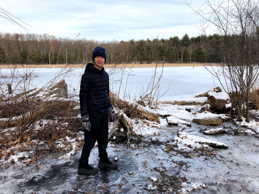
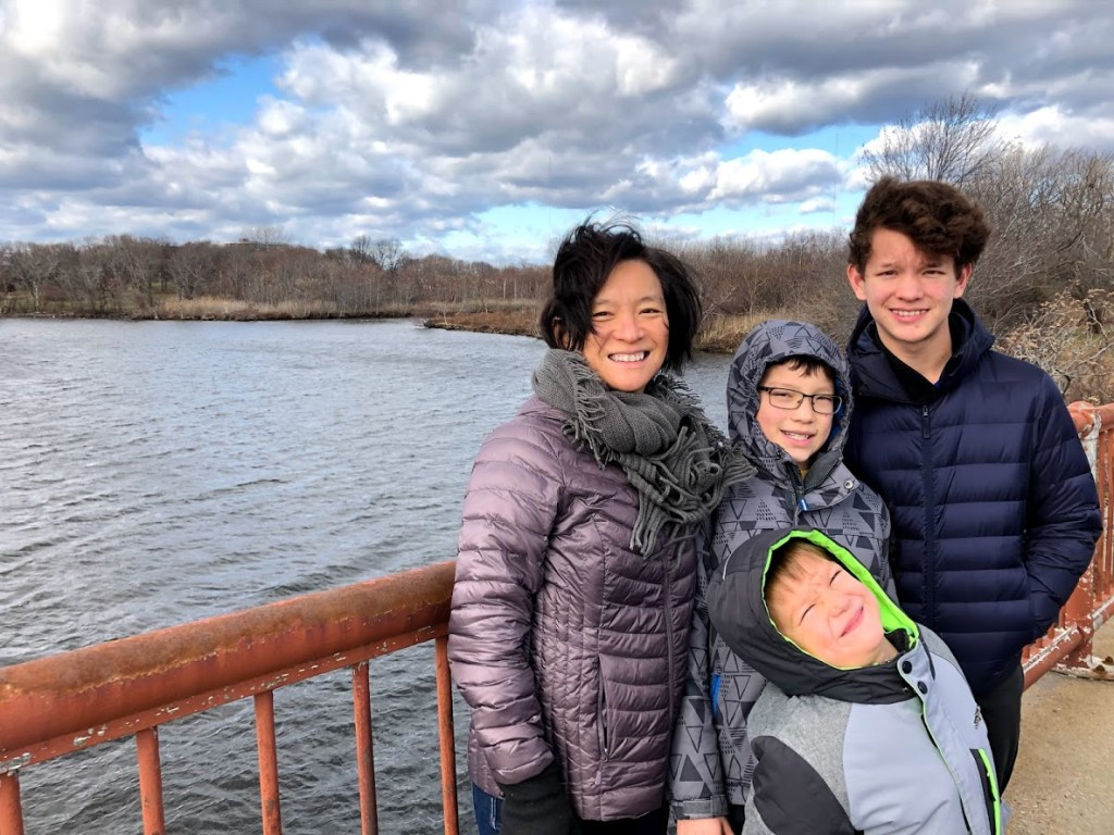
February 23, 2020 Sunny

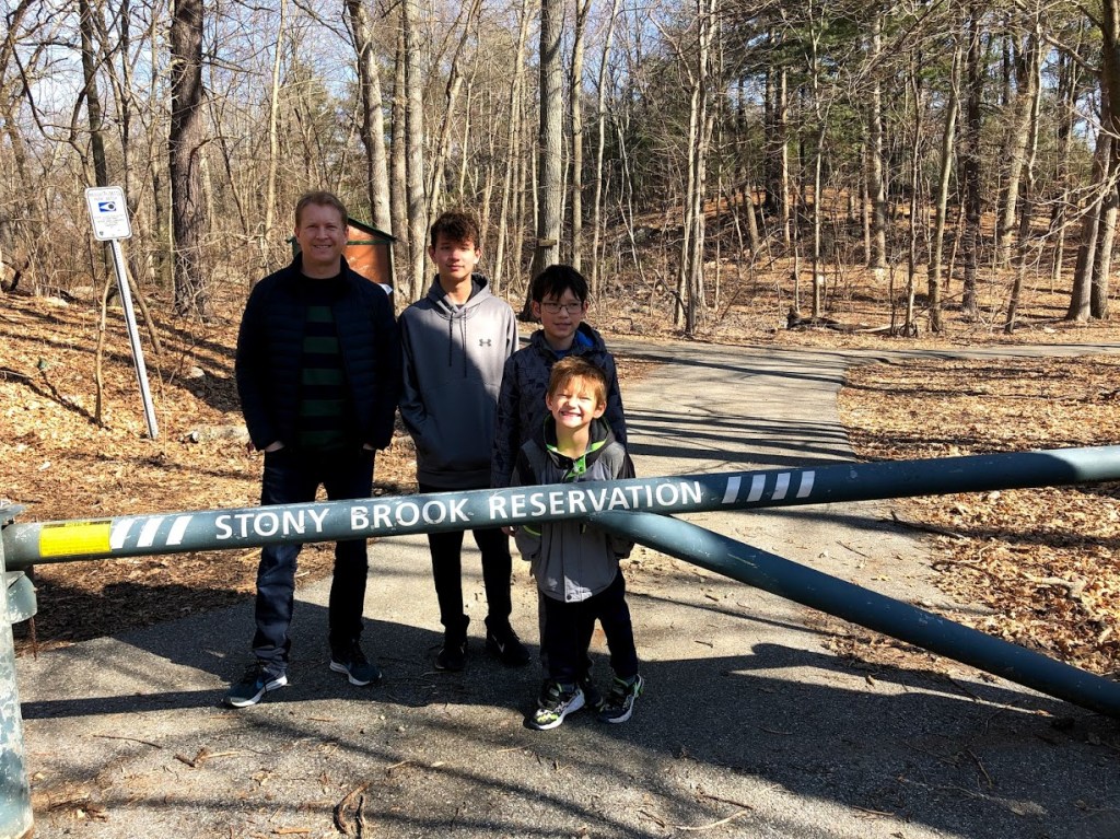
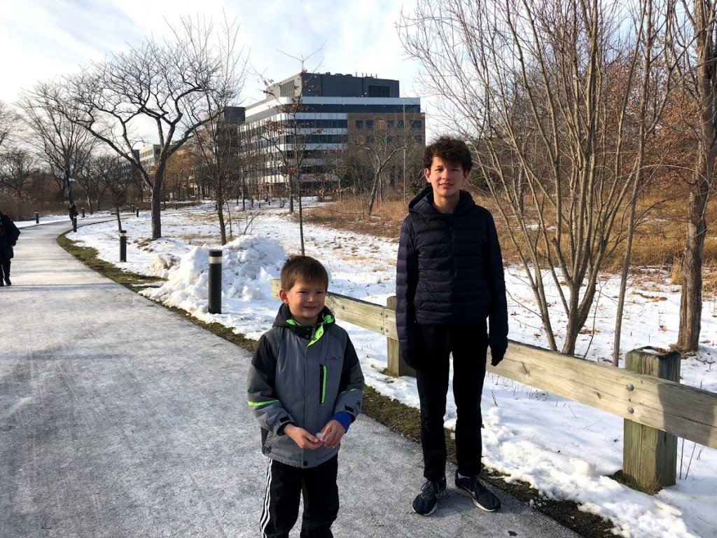
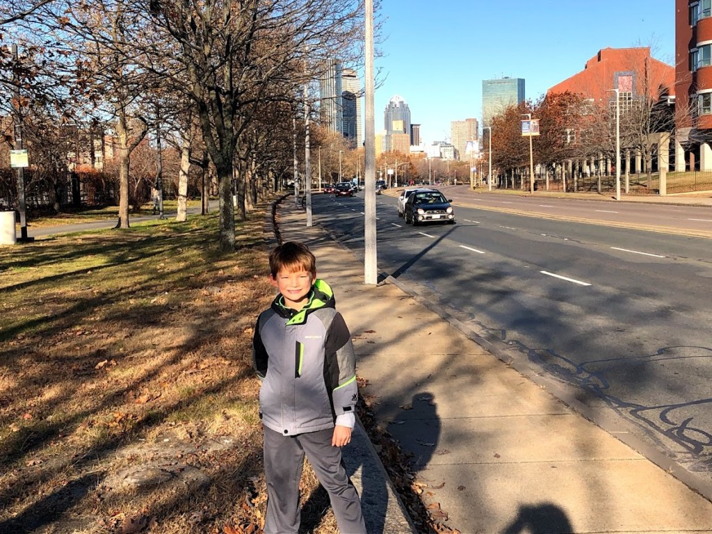
This is a small, urban woodland in the southwest part of Boston and Dedham. We parked at a small lot along Dedham Parkway at the south end of the reservation and explored the trails.

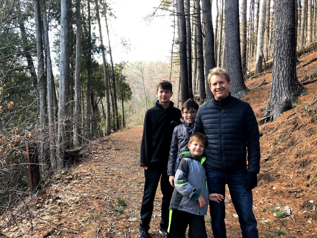
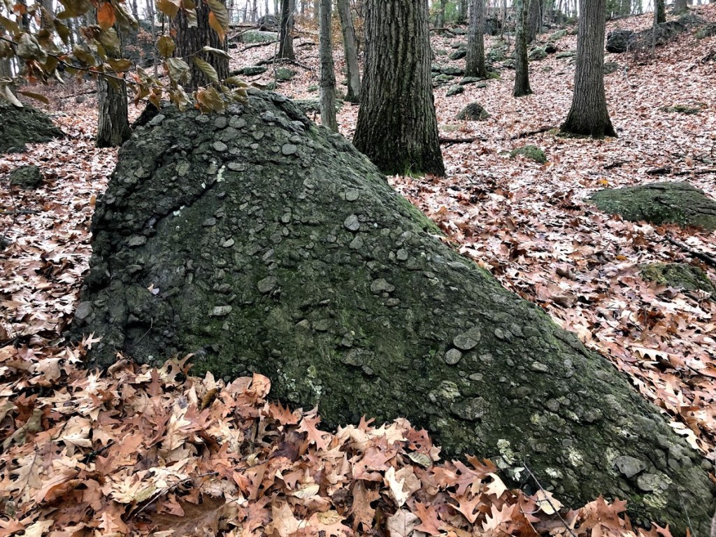
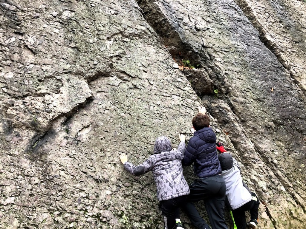
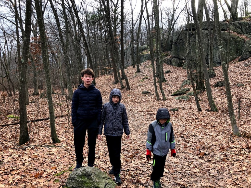
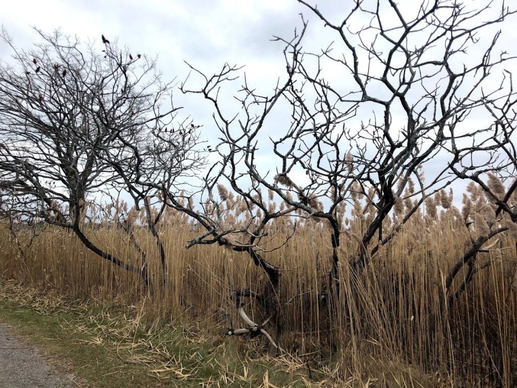
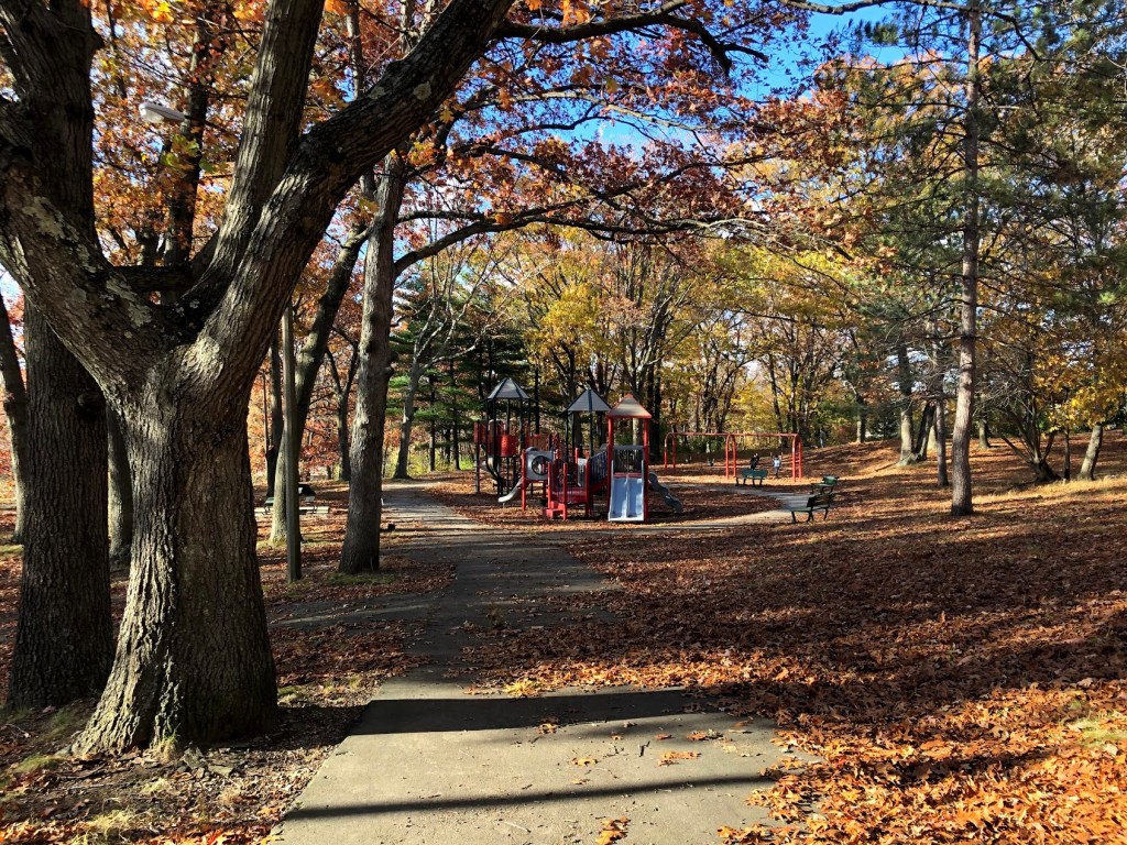
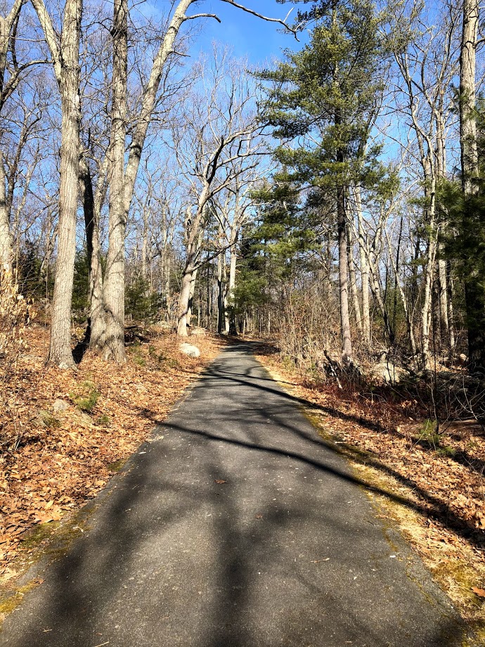
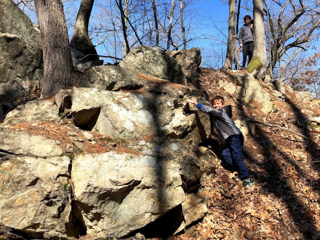
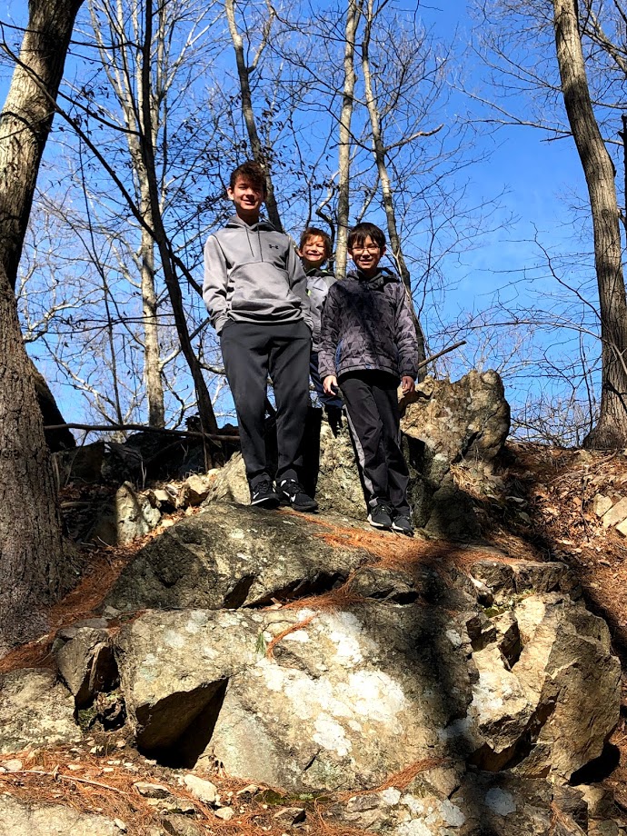
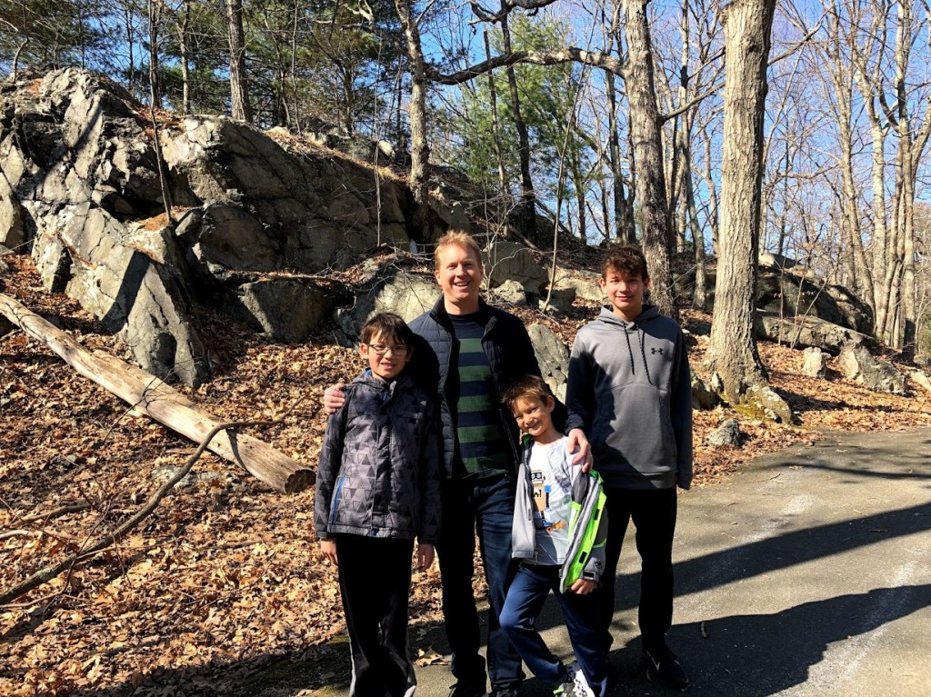
The main loop, a Healthy Heart Trail, is paved and mainly flat, and we followed it north, passing by some interesting rocky outcroppings.

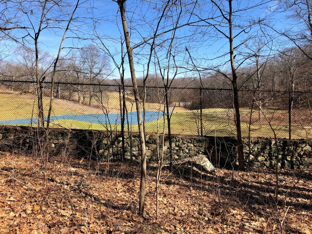
We could also see the adjacent George Wright public golf course.

The walkers were greatly outnumbered by joggers on this path, which struck us as a great place for a quick jog. Maybe next time.

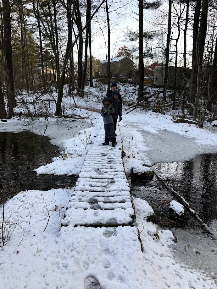
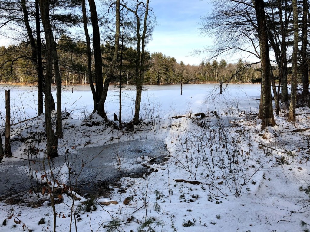
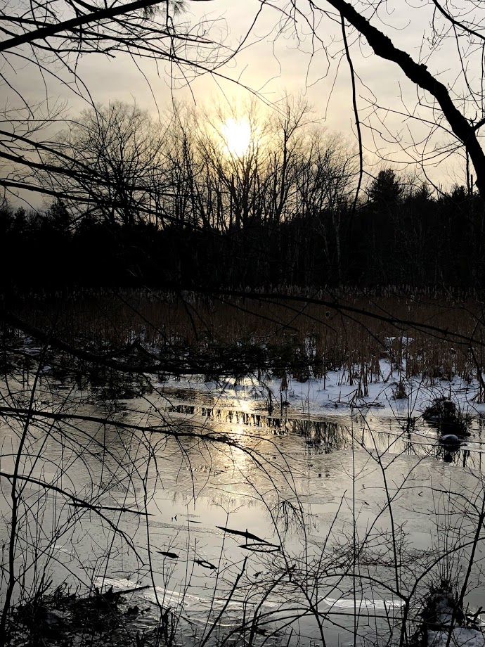
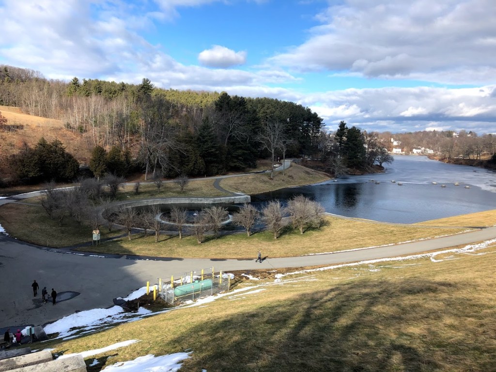
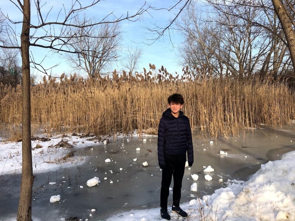
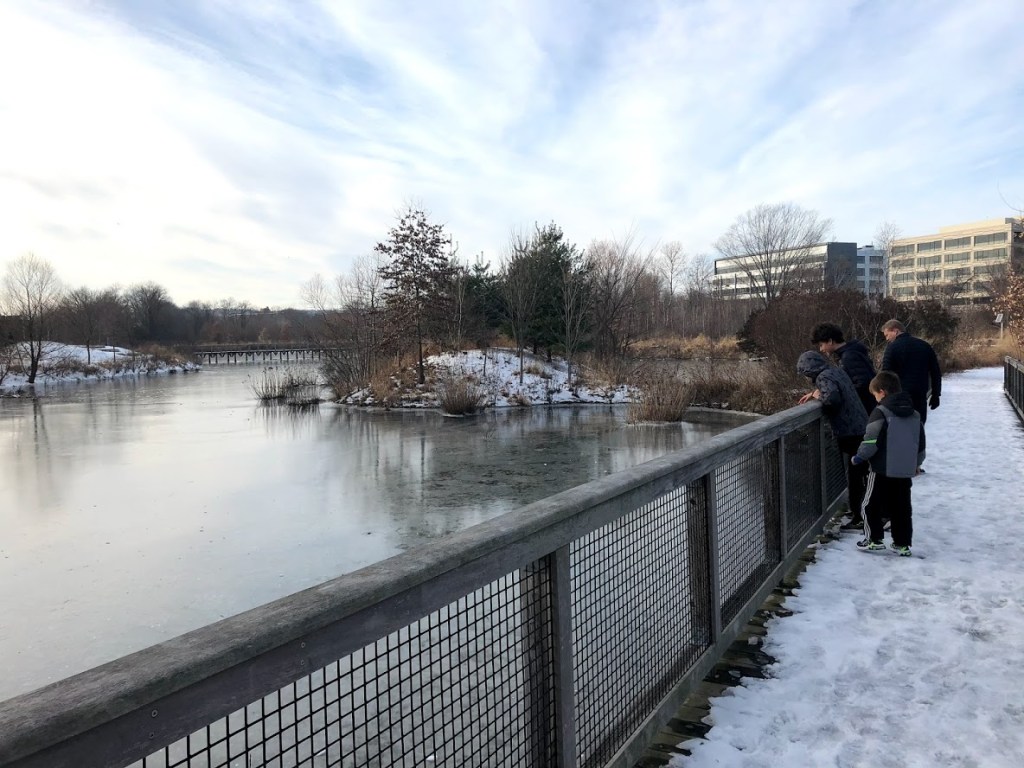
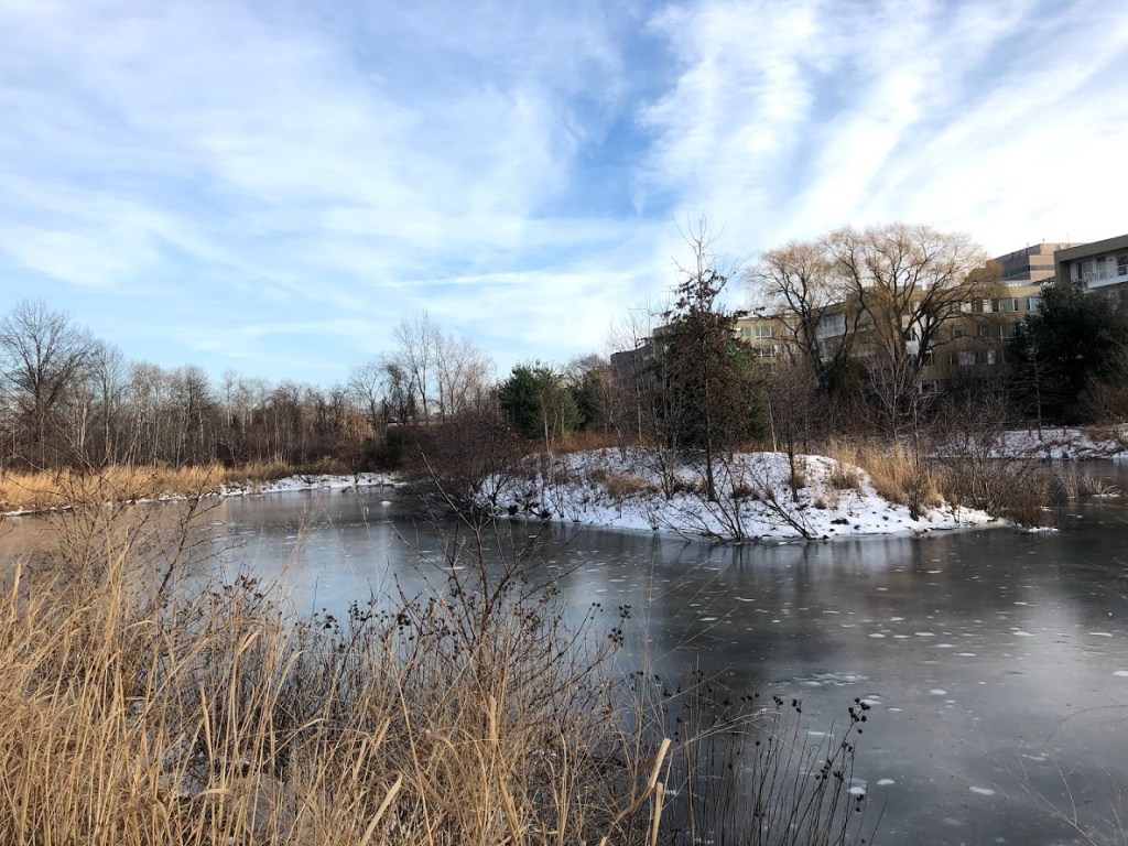
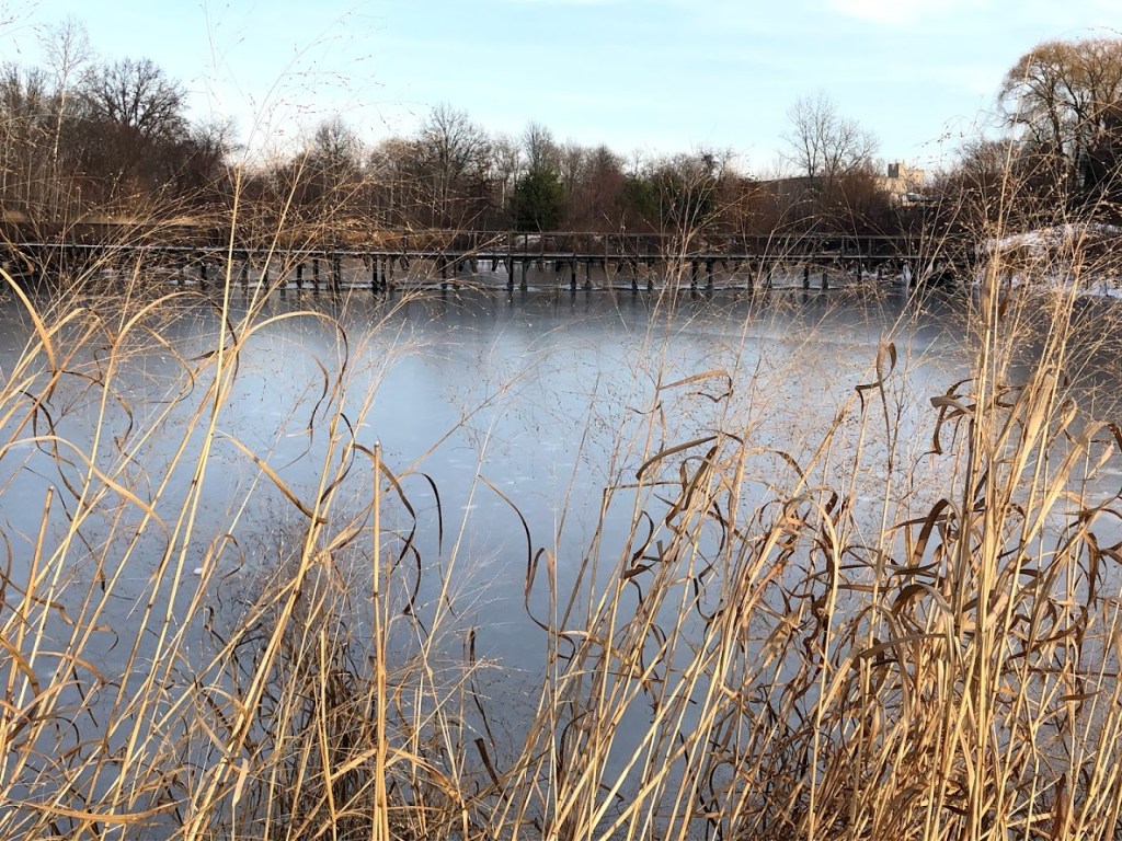
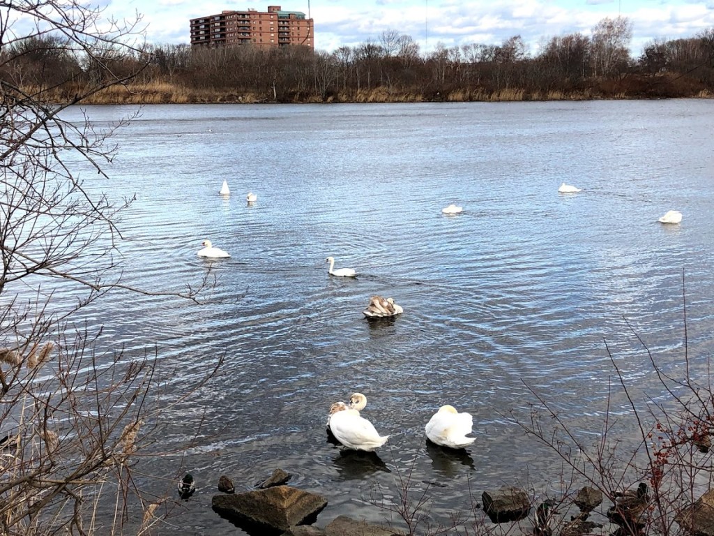
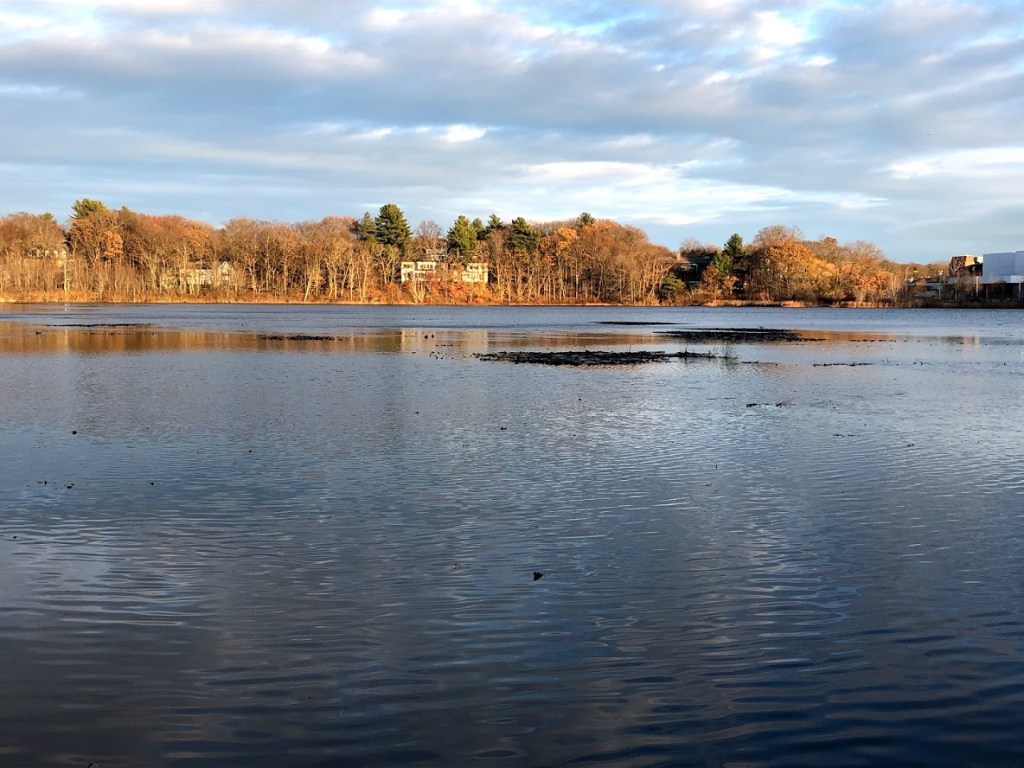
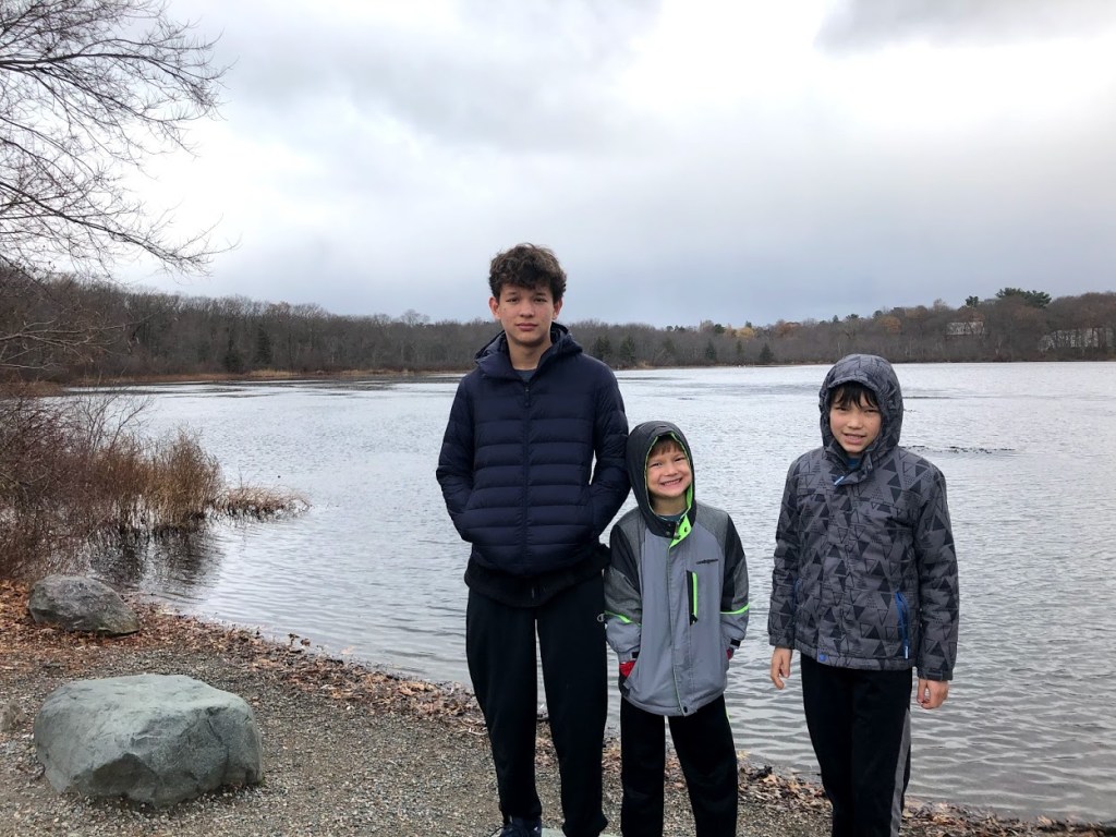
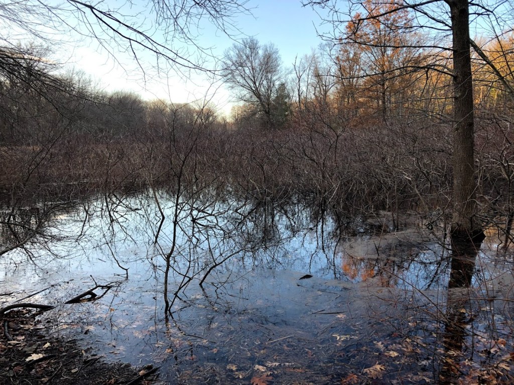
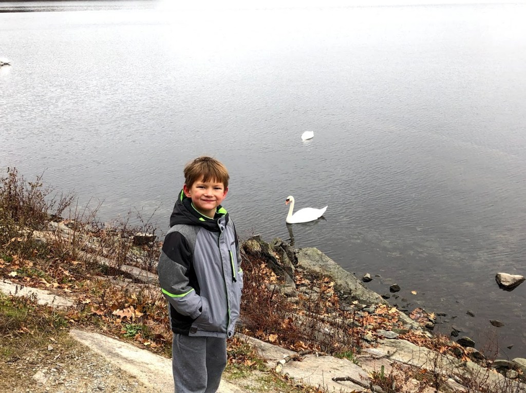
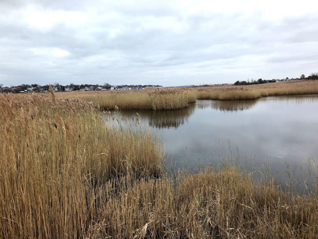
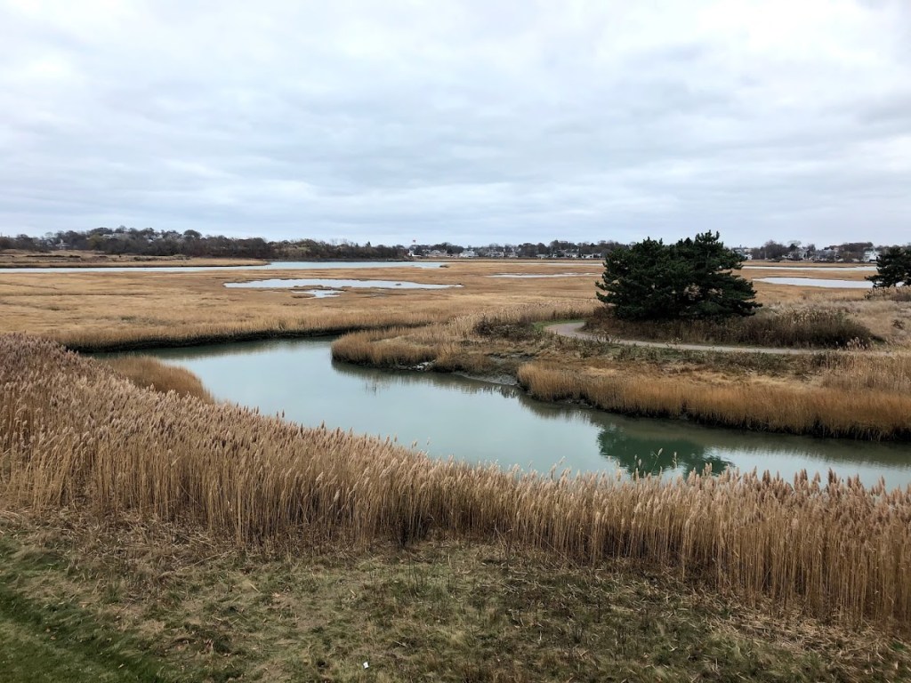
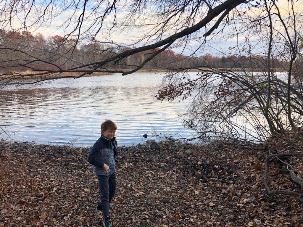
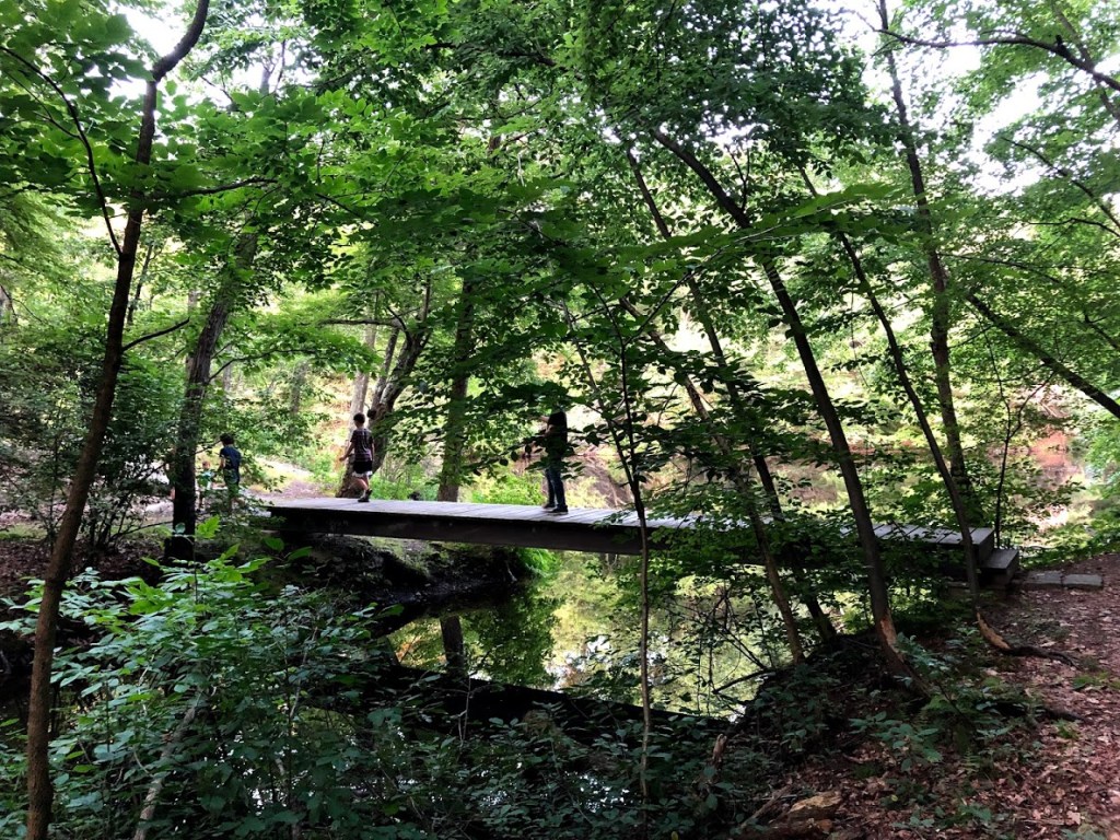
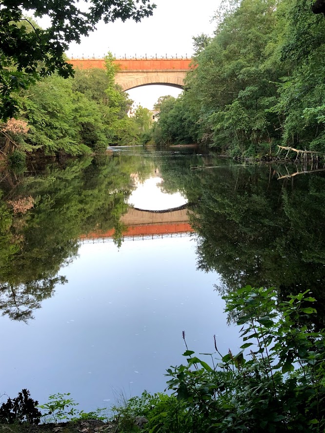
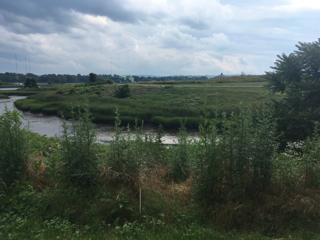
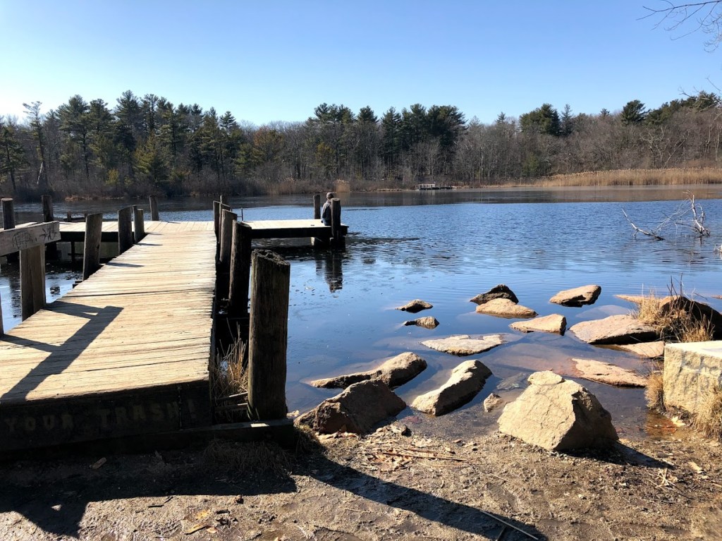
We soon reached a high point overlooking Turtle Pond and scrambled down to the trail around the pond.

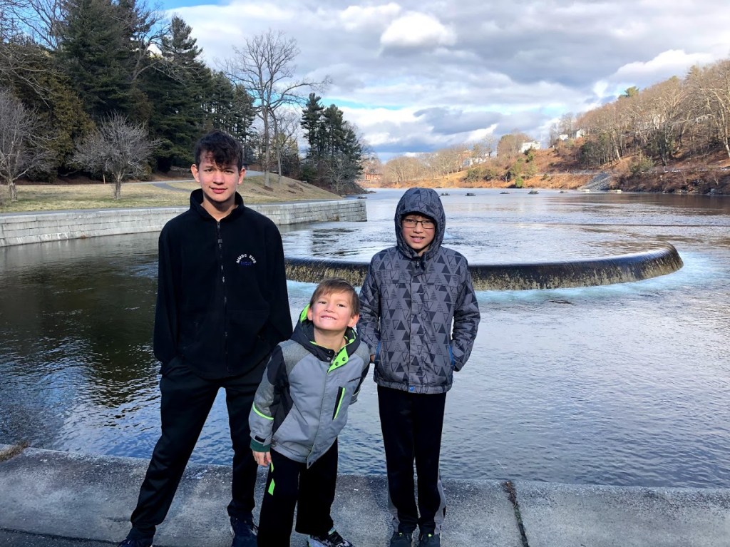
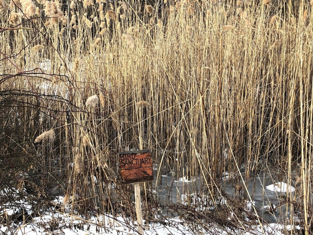
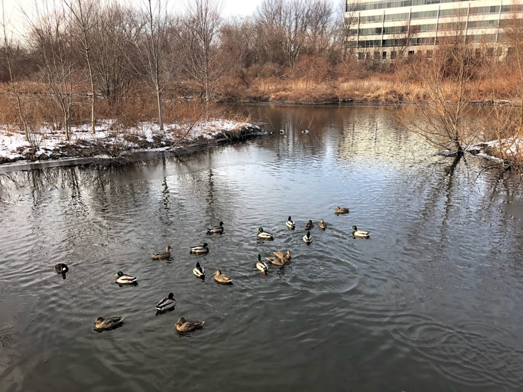
It was a warm, sunny day and a young man was sunning and reading on the old wooden dock. We looked for turtles here but didn’t find any, and continued around the pond.

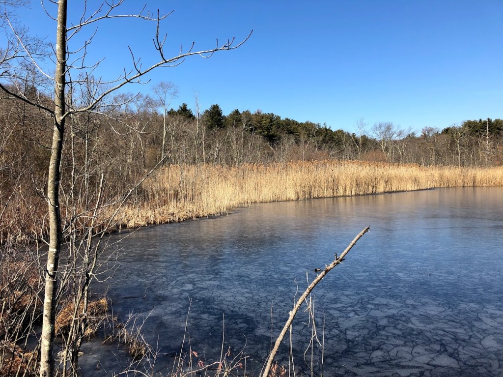
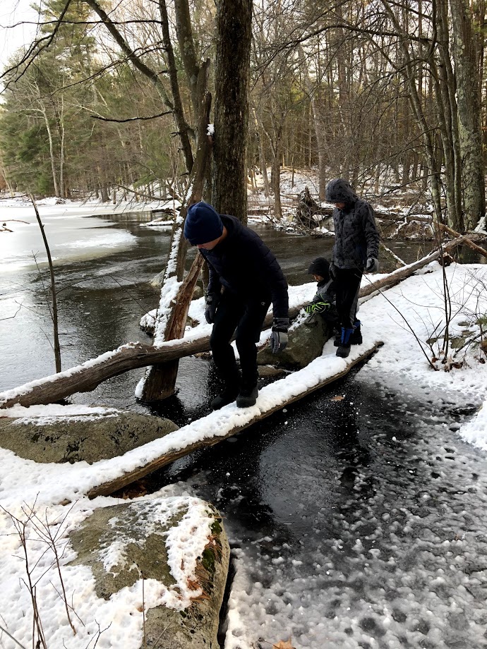
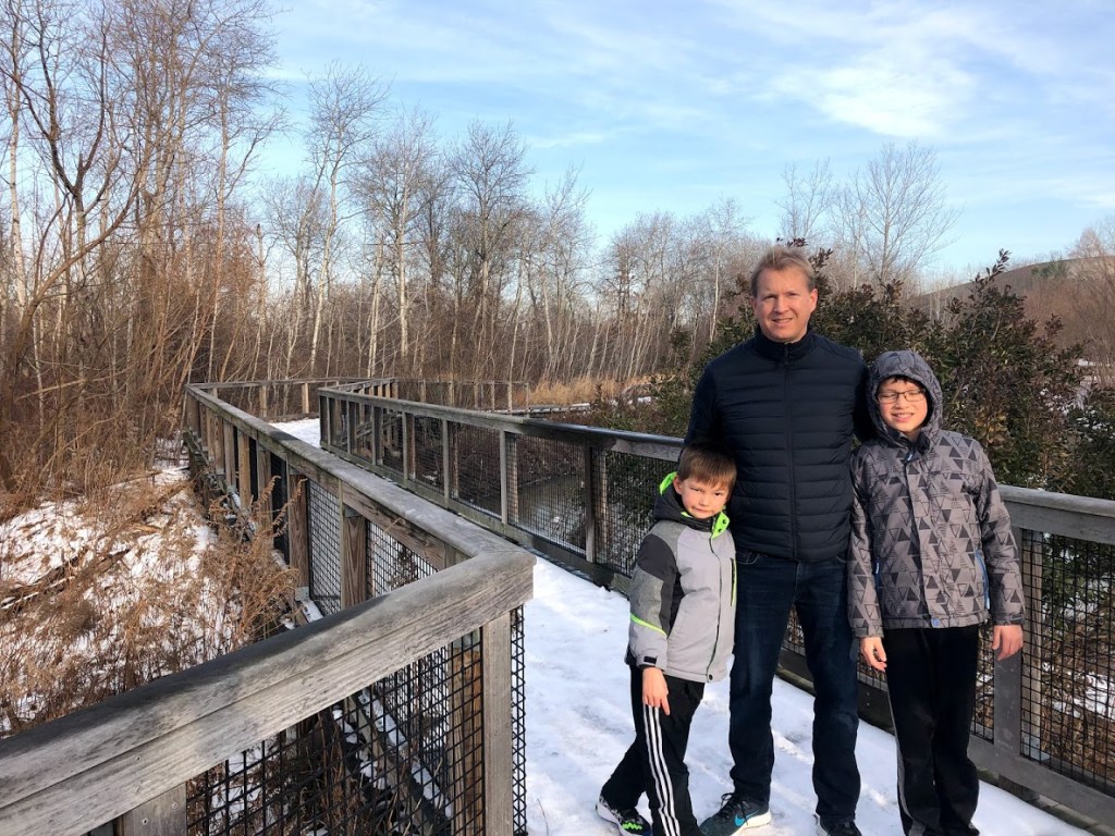
Although we hoped to make a circuit around the pond on this path, we found that we had to walk a short distance on the side of the Enneking Parkway (safe to do) and then rejoin the paved path at the southern tip of the pond.

We then made our way back along the paved trail to our car.

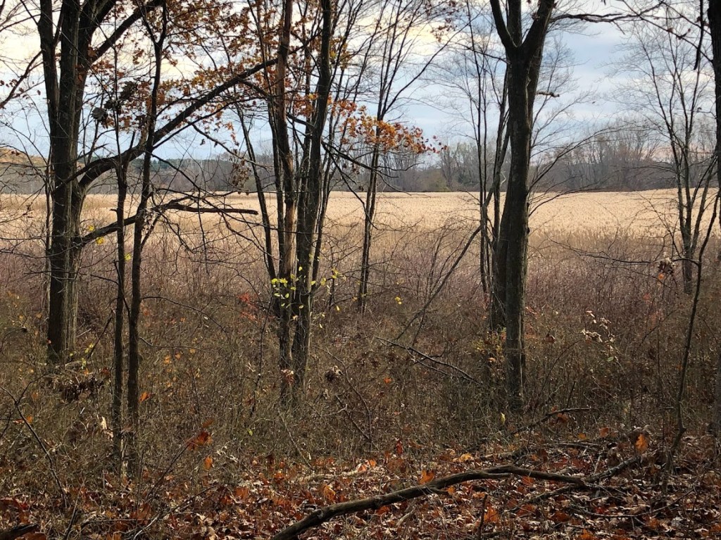
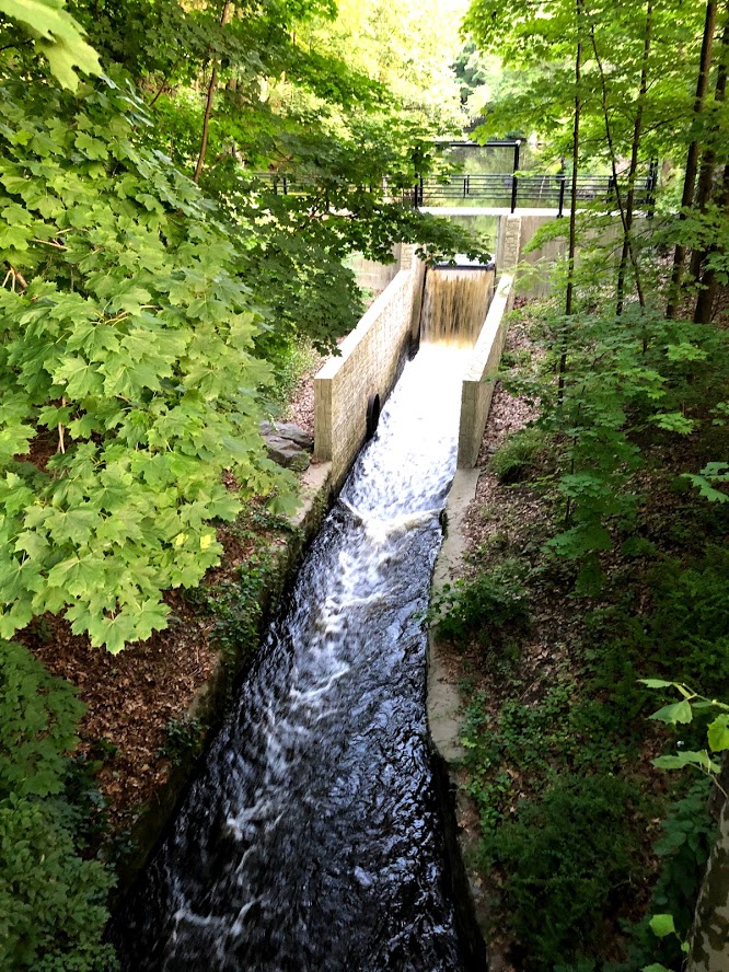
The reservation is small, but is very “stony” forest, which makes it pretty interesting. The relative wilderness in this urban area, along with the nicely paved trails, makes it a good walk.

  • Paved loop trail through a stony forest to a small pond. Good walk for an urban park.
  • There’s an easy trail but it didn’t go around the pond. It’s bordering a golf course and is very popular with the locals.
  • At one point we had to walk on the road, with all the trash and brambles, but other than that, it was pretty cool.
  • The paved paths were good because the other parks didn’t have them, but the walk was regular.
  • I liked the paved paths.

For more information: Stony Brook Reservation official site.

Skinner State Park

February 19, 2020 Sunny

This state park in the town of Hadley surrounds Mount Holyoke and provides great views of the Connecticut River valley.

We started at the southern end of the mountain near an old cemetery, planning to climb the ridge to the north and return the same way. Immediately we hit some icy patches in the trail and had to step along the side at times.

After the initial ascent there was a strong western wind that blasted us the rest of the hike. The day was in the upper 30s with bright sun, but a cold front was approaching, ushering in the cooler air.

In a short time, you can already start to see the valley through the trees, and the trail hugs the side ledges, so there are many outcroppings that offer clear views.

Once we reached the sunnier and more sheltered areas, the wind died down and it was quite pleasant in the sun. A few patches had barren rock as you see below.

As we continued higher we found more traces of snow on the rocks and path, and came across a small “pond” that was completely frozen with thick ice. The kids loved sliding along this one.

Although I love to have scenic vistas, sometimes the trail was a little too close to the edge, as you see below. You could easily tumble off if you weren’t careful.

Finally we reached the historic “Prospect House”, which first opened as a hotel in 1851, but is now a viewing area within the park.

At the base of the hotel, you get awesome views to the northwest. On the center left in the distance, the small bump is Mt. Greylock (the highest point in Mass) and on the center right, you can see all the way to Mt. Snow in southern Vermont. In the foreground is the Connecticut River.

Although the building (now a visitor center) was closed for the season, we wandered around the outer deck to enjoy the views. Each side had a helpful map to help us spot near and distant landmarks.

Just before we left, we found this sign with the elevation. Mt. Holyoke definitely feels like a bigger mountain than 942 feet!

Since the trails were pretty icy and snowy, we decided to return via the paved road down the mountain and back to our car. The winding road was still icy in a few shady patches, but cleared as we rounded the last corner into the sun.

Below you can see the “Halfway House”. In the mid-1800s, tourists could take a steep, covered tramway up the mountain to the “Prospect House” hotel (climbing 365 feet over a 600 foot run). Unfortunately, the tram fell into disrepair and was demolished in the 1960s.

This park has plenty of draws – Mt. Holyoke and the Prospect House among them. The hike was really scenic and the views from the top are amazing.

  • Awesome views west and north across the Connecticut River valley most of the time. Loved reaching the old “Prospect House” hotel with panoramic views.
  • Would have been a great hike in the summer. The trails were too slippery in the winter.
  • It smelled like manure the entire time up the mountain, and when we got to the top there was some hotel that we couldn’t even go inside.
  • The view was nice from the mountain but the trail is okay.
  • I liked the view of all places on Earth. And I liked the hotel on top. And I liked the paths like stony steps.

For more information: Skinner State Park official site

Lowell-Dracut-Tyngsboro State Forest

February 15, 2020 Sunny

This park has a 1,000 acres with trails mostly for hiking and mountain biking, and contains a few ponds and swampy areas as well.

We came here on a cold winter day with some snow on the ground, and set out for a walk around the pond. The park was quiet, but we did see a lone mountain biker with big, knobby tires, coming up and out of one of the paths.

Much of the trail was snowy and at a few points crossed small streams flowing from the pond, but these all had convenient bridge crossings.

The kids also loved playing on some frozen puddles, stomping the ice to see if they could break through.

The pond glowed in the late afternoon sun and was very serene. This is a view to the east.

A few bridges were not as formal and called for careful footwork.

Many areas seemed to have been dammed by beavers, although this is not one, given the size of the trees.

As we rounded the far end of the pond and headed back down the other side, the sun dropped in the western sky with a gentle glow.

Just before our hike ended, the kids found a giant see-saw to play on.

The woods here seemed pretty and wild under the snow cover, with only the occasional mountain bike (or even snowmobile) track. Spring and summer could be pleasant, but it seems to me muddy and buggy at times. I guess it’s just a matter of being prepared.

  • Snowy trails with some ice but enjoyed looping around the big pond.
  • Very peaceful in the winter. Trails are well marked.
  • There was ice but the walk was pretty cold and boring.
  • There was a lot of ice to break and slide on(yay). There was also a natural seesaw.
  • There was a lot of ice to slide and break on. There was a seesaw.

For more information: Lowell-Dracut-Tyngsboro State Forest official site

Callahan State Park

February 2, 2020 Cloudy

Callahan State Park is next to Sudbury Reservoir. Some trails actually lead from one state park to the other. There are two main entrances to Callahan State Park. We picked the North Entrance.

There are many, many trails criss-crossing the park. The signs were good, but it’s still very hard to follow a particular trail. We got confused at different places, even though we had an app to show us the exact route.

One of the signs we passed

We chose a trail that allowed us to explore a little bit of everything Callahan State Park has to offer – meadows, hills, woods, and ponds.

A meadow in Callahan State Park

The trail first took us past an open meadow. There were picnic benches and the views were expansive. The trail quickly leads to the woods where people walked their dogs and there were dog poop and baggies everywhere. We had to watch where we stepped.

The trail became hilly at places, and at the edge of the park we saw a horse farm. Just before the farm, the kids spotted a cabin.

Abandoned cabin

This was a fun adventure for the kids. The cabin had old mattresses and sofas inside. It seemed to be a shelter at some point, but abandoned. Now who knows what’s going on in there?

Next we walked past a pond called Beebe Pond. It was quite frozen, and at one point there was another abandoned structure. This looked like a chimney. According to our map, this is called “Chimney in Woods”.

The pond was mostly frozen, but there were cracks, and at places a spring flowed under the ice. It looked very peaceful.

  • The walk had good variety for a small park but too much dog poop (as other reviewers noted).
  • Too much dog poop to dodge.
  • First it was the dogs, then the poop, then the abandoned shack, then the rushing river. What an adventure! Unfortunately, Ryan took my walking stick, so that was a bummer.
  • We got to poke the ice with sticks but there was a lot of (dog) poop.
  • I liked the loop trail because you don’t have to see the same stuff.

For more information: Callahan State Park official site

Sudbury Reservoir

February 2, 2020 Cloudy

Sudbury Reservoir is an emergency backup reservoir for the Boston area, as an alternative to the Quabbin and Wachusett reservoirs.

From the small parking area, there is a short trail to the left, about 1000 ft, to the Sudbury Dam. The Dam is closed off and inaccessible. We saw a sign for the “Sudbury Dam Historic District” and there is a small parking area for it. But we only saw one or two abandoned buildings and the closed-off dam, so there’s not much to see.

View of Sudbury Dam

Turning right, there is a carriage road that hugs one side of the reservoir. The trail was wide and mostly flat. Since dogs are not allowed in the state park area, the trail was clean. We saw people jogging and families with little kids.

There are many large trees planted along trail, and a beautiful stone wall. The carriage road follows the reservoir on one side, and the other side borders a small hill called Pine Hill. There are different trails branching off from the carriage road to access the reservoir or to explore the hill. However, many of these side trails aren’t properly maintained. When we tried to follow one to Pine Hill, we quickly lost the trail and had to turn around.

We went in the winter and didn’t see a lot of wildlife. However, we noticed evidence of beavers and also heard and saw large birds.

Beavers at work

This is an easy and pleasant walk to get outdoors.

  • Enjoyable walk along a dirt road with trees lining both sides.
  • Pleasant enough, but not much to see though.
  • An excellent example of why they should change all the state parks that are forests to state forests, so there could be around 5 state parks left and this blog wouldn’t be SO BORING.
  • There was just a bunch of hills and leaves and dead bushes. OK.
  • It was just a regular flat path. I liked the side trail we tried to hike.

For more information: Sudbury Reservoir official site

Wachusett Reservoir

January 26, 2020 Showers

The Wachusett Reservoir was completed in the early 1900’s and was at the time the largest public water supply reservoir and largest body of water in Massachusetts. The dam is 115 feet tall, very solidly built, and remains the “largest hand built dam in the world” according to the sign.

In any case, we parked next to the dam and walked along the northern side of the reservoir, which touches the town of Clinton. The walk was flat and roughly 3 miles.

We started our descent on the handsome stone stairways next to the dam.

The view to the north along the South Nashua River and town of Clinton is quite pretty.

At the bottom of the dam is a large stone building as well as several paths that lead around a small pool.

We continued through the forest visible at top left and followed along a short path that led us to the shoreline.

The path soon reaches a wide open grassy area, and you can either follow a gravel path or walk closer to the water’s edge, hugging the shore. With the mild weather, the gravel was wet in places but very manageable even with sneakers.

Although we visited on a cloudy day, the views were really impressive, and the strong westerly wind was very fresh.

After reaching the forest at the end of this clearing, we turned back, trying to outrun a sudden rainstorm that blew in from the west and pelted us with a sleet/rain mix on our backs.

Despite the rain at the end, or maybe because of that, the kids enjoyed this easy walk.

  • The best part was dam itself and the views north toward the town of Clinton. Worth an easy walk in good weather.
  • The dam was inaccessible, but there was a variety of views on the trail.
  • It was a bitterly cold night. Rain fell like bullets against the Prentice family, who were frantically running towards the nearest shelter, a small building by the reservoir splattered with graffiti. There was not a soul in sight; Anyone sensible would have gotten in their vehicles and driven speedily away as soon as they saw the weather conditions. Not a good time.
  • It was raining and it was very cold but the dam was cool.
  • I like the reservoir. And we jogged. And it rained. And at least I had my hood!

For more information: Wachusett Reservoir official site.

Alewife Brook Reservation

December 22, 2019 Sunny

This is a small state park that consists mainly of wetlands and encompasses a portion of the Alewife Brook as it flows north toward the Mystic River. It’s basically right next to the Alewife T station but we started the small walk from the western lot that’s accessible from Route 2 by the office parks.

Although the park is very urban, you are immediately immersed in the wetlands, and the colors are very pretty even in mid-winter.

The park also has a bunch of cute little wooden signs and some inscribed boulders.

After reaching the Alewife station you can continue along the ‘U’ shaped path heading westward. This section is more interesting, with a jogging path and a boardwalk system that explores the wetland area.

After about a half mile, we reached the end of the boardwalk loop and paused to watch some ducks before retracing our steps.

You can see the extent of the park and the interesting color contrasts in the pictures below. But also just how urban this park is, lined with office parks and condos.

A surprisingly wild corner in a busy section of Cambridge that is worth a quick stroll.

  • It’s great for an urban park, with wetlands, boardwalks, and inscribed boulders. Also connects with a bike path.
  • This is an urban oasis. Looks like a lot of workers nearby enjoy it tremendously.
  • It was pretty fun until Miles started throwing ice at the ducks and they thought it was food. That was when it became EPIC.
  • Sliding on the ice on the street was fun, and there were ducks to see in the pond.
  • Me like duck. Me like ice also to slide on.

For more information: Alewife Brook Reservation official site

Mystic River State Reservation

December 15, 2019 Cold

The Mystic River State Reservation consists of 4 different parks along the Mystic River near Boston. This review covers the Torbert Macdonald Park, off of I-93 near Assembly Square. It was constructed in the 1970s and has a rolling landscape with more than 1 mile of trails.

The trail meanders through a marshy area with view of the Boston skyline to the south, and then follows the river.

To enjoy a longer loop we crossed the Fellsway to the opposite side of the river and then headed west along the shore so we could survey the park.

A boardwalk passes under the roadway and provides access to the shore path and neighborhoods.

Continuing along we passed a boat rental and then the path was squeezed by I-93 to the west and the river to the east. Apart from the road noise it was a pretty scene.

Along the way we saw a surprising number of swans in the water.

We then crossed over the river on Rte. 16 and rejoined the other side of the Torbert Macdonald Park.

An observation tower invited a climb to see the views of the park and Boston to the south.

As we headed back, the path led through rolling grassy areas with benches and sculptures. The kids stopped for a few minutes to play songs and bang on the organ pipes.

Just beyond was a long sculpture showing the wildlife of the area. There were also a few picnic tables overlooking the water from a sunny slope.

With a final view across the river, we entered a more marshy stretch and returned to the parking lot along Rte. 16.

Although we visited on a chilly winter day, I can see this would be a great place to relax and read in the sun on a lazy summer afternoon. If you’re interested in more wildlife and natural scenery, consider this instead of the nearby Mary O’Malley State Park, which is also part of the Mystic River State Reservation.

  • The scenery along the river banks is fine and the rolling slopes would make for a good picnic, but there is lot of noise from I-93.
  • This park is right next to I-93, so it’s rather noisy.
  • The park was nice. The river was cool. But 5 Guys was EPIC.
  • The watchtower was cool to look out onto the river.
  • I like the swans, and I like the tower, and I like the sculpture.

For more information: Mystic River State Reservation official site

Hammond Pond Reservation

November 28, 2019 Cloudy

Hammond Pond Reservation in Newton is a protected woodland park. It consists of a pond, hiking trails, and formations of sandstone conglomerate and Roxbury puddingstone which are popular with rock climbers. We also visited the adjacent Houghton Garden conservation area as part of our walk.

We arrived first at the parking area, which is basically next to the Chestnut Hill mall and on the pond.

From there we took a short walk north around the pond, stopping first to admire the unusual rock formations that formed sheer faces. It turns out that Roxbury puddingstone (shown below) is the official rock of Massachusetts. In the early 19th and 20th centuries it was used in buildings for the foundations of houses.

The boys scrambled up one of the cliffs along the path.

You can see some of these in the photo below as we continued onward. I think they are about 30 feet high or more.

The path hugs the pond and heads north, crossing the Green Line D branch.

Just beyond the tracks we found Houghton Garden and discovered a local gem. This garden was started by the Houghton family in 1906, fell into disrepair at some point in the 60s, but was cleaned up and is now on the National Register of Historic Places.

The garden is filled with waterways, bridges, and a lagoon. Along the paths are rhododendrons and azaleas. There is a also a large rock garden with a whimsical stone bench.

After touring the garden we headed back and made a detour to see the peat bog.

Then we continued south and around Hammond Pond once again, just as the setting sun broke through the clouds.

Hammond Pond has a lot of visual variety for a compact area, with the pond, cliffs, and peat bog. Unfortunately you can hear a lot of road noise and the Green Line, so it’s not a great place for solitude.

  • I enjoyed this walk and its variety. It’s a convenient park to visit and surprisingly large considering that Newton is a dense and busy suburb.
  • The landscape was varied but the whole thing was pretty small. Can also hear the T and traffic.
  • There was a dead squirrel hanging from a tree in the swampland, but other than that it was pretty disgusting.
  • The park was very drab and creepy, but in the spring it would probably be nice. There were lots of rocks that I could climb on.
  • Muddy muddy rock. Me wants climb!!!

Roxbury Heritage State Park

November 23, 2019 Sunny/Cold

Roxbury Heritage State Park is located a few minutes away from a section of the Southwest Corridor Park, which we visited on the same day. This park was a convenient detour. The main grounds consist the Dillaway-Thomas House, which was recently renovated.

There are two floors to the house. On the first floor, one room is decorated in the colonial style of the 1700s. There were period furniture, toys, and models of colonial era food such as Roxbury Russet apples.

Roxbury Russet apples, the oldest apples cultivated in the United States

The house is situated on top of a hill, with clear views to the Boston Harbor. This location was very strategic during the Revolutionary War. Here, the park ranger was explaining how the house was used as an American headquarter during the War and Siege of Boston.

Here is a period desk with quill and parchment. Miles is Mrs. Thomas writing to her husband Commander John Thomas during the War.

The next room was decorated in the 19th century style. There were different artifacts from the Industrial Revolution, such as this original Edison Phonograph.

We got a demonstration of how this worked. The kids had to crank up the phonograph to start the action. This room also contained some exhibits from prominent Roxbury residents during that time, including a small display case dedicated to Malcolm X.

The upstairs rooms were mostly for community meetings and had exhibits about Roxbury during the Civil Rights movement and the present day. We were in a hurry so didn’t linger.

The house is in good shape and the exhibits are brand new. The park ranger was extremely friendly.

  • This site is recently renovated and well done, with a few hands-on exhibits that kids will enjoy.
  • This place has a variety of things to keep kids interested in history.
  • This building was top-notch, but I expect it doesn’t get too many visitors. What a shame nobody wants to visit Roxbury.
  • I liked the record player so much!
  • The tree in front of it, there was only one.

For more information: Roxbury Heritage State Park official site.

Southwest Corridor Park

November 23, 2019 Sunny/Cold

Southwest Corridor Park is linear urban park in Boston that goes from the South End and Back Bay, stretching toward Forest Hills in nearby Jamaica Plain. It’s about 5 miles each way and is situated on land that was originally cleared in the 1960’s to make way for section of I-95 going into Boston. After protests, the work was halted, and this strip of land eventually became a state park in the 1980’s.

The picture below shows how it looked before the land became a park.

We walked about 2.5 miles each way, starting at the Mass Ave station of the Orange Line, heading west toward Northeastern and then west to the Stony Brook station.

Near the Mass Ave station and along the way are tablets with inscribed poetry.

The path is well marked throughout and sometimes diverges for pedestrians and cyclists.

Along the way are numerous parks, playgrounds, tennis courts, and more.

The kids loved the first playground by Northeastern University. Maybe it was the golden arches?

The Northeastern University section is especially well-kept and has all sorts of interesting architecture.

Although the day we visited was cold and clear, the park is largely open and sunny, with great views east towards downtown Boston.

One of the more striking buildings along the way is the Islamic Society of Boston Cultural Center, shown below.

Some of the playgrounds like the one by Jackson Square were really unusual and fun for the kids. This one had a huge climbing structure (the kind you usually find indoors and have to pay for).

It even had dual ziplines, which the kids enjoyed. This was a really cool park and the highlight of the trip.

Continuing west we finally came to the Stony Brook station and looked for a cafe to enjoy some hot drinks to warm up. We found one that’s next to the original Sam Adams Boston Brewery.

After a good rest, we headed back toward Boston, retracing our route, as the sun dipped in the sky. We want to walk the remainder of the trail toward Forest Hills in the spring.

  • This park makes a good walk on a sunny day, with great views of the Boston skyline and playgrounds for the kids. If your feet get tired, you can always take the T.
  • Great urban park to walk or bike. We will sure to come back.
  • It’s this path that runs by the train tracks of Boston, straight into the hood and gangsta territory. Thank you Boston, very cool!
  • There were so many playgrounds and one had a zip line!
  • There’s 500 billion parks and playgrounds!

For more information: Southwest Corridor Park official site.

Chestnut Hill Reservation

November 17, 2019 Cold, Flurries

Chestnut Hill Reservoir is located at Cleveland Circle near Boston College, a busy intersection filled with student apartments, restaurants, and shops. The reservoir is an oasis in this crowded area. The DCR operates a skating rink, a pool, and maintains a trail around the reservoir. There is plenty of parking along Beacon Street on one side of the reservoir. Across Beacon Street, there is also a museum – “Water Works” – which is associated with the history of the reservoir.

The trail is gravel packed, flat, and about 1.5 miles. There are many entrances to the trail like this.

It’s very pleasant to walk around the reservoir, even on a cold day with flurries. There are always many joggers and Moms with strollers on the trail. Here is a view towards the museum .

There are islands in the reservoir and swans, ducks, and geese swim freely.

We stopped by the museum “Water Works”.

Chestnut Hill Reservoir with Water Works in the background

This museum is free (suggested donations). It houses three enormous engines that used to pump the water from the reservoir to supply the City of Boston in the 19th century. We took an excellent 1/2-hour tour to see these engines, and learned about the history and steam engine technology.

These engines worked well into the 20th century, until the aqueduct technology improved sufficiently such that Boston can source the water directly from Quabbin Reservoir without pumping. The tour was actually very good, and the museum also has an upstairs viewing area where the kids can play.

The trail, together with the museum, is well worth a visit.

  • The reservoir is interesting and the museum is a local, underappreciated gem.
  • The trail is flat and easy in all seasons. The museum is interesting.
  • It was kind of weird because the museum basically said we were drinking goose poop water. But the machines were kind of cool, and the reservoir was nice and peaceful.
  • The museum is nice and interesting. And the reservoir was cool.
  • We saw swans and that’s all.

For more information: Chestnut Hill Reservation official site

Belle Isle Marsh Reservation

November 17, 2019 Cold, Flurries

Belle Isle Marsh is an urban preserve that contains the last of the saltmarshes that were once prevalent along the coast near Boston.

It contains a short loop path of less than a mile, along with some boardwalks and a wooden viewing tower. We started along the flat gravel path and made our way into the marsh.

We visited under gray skies but the contrasting colors were still striking. We were surprised to see other visitors, but it appears to be a popular spot for joggers and dog walkers.

Several sections allow you to look out over the marsh grass and waters.

The short, barren trees made an interesting web against the grey skies.

Although it’s not clear in the picture below, you can even see the Atlantic in the distance.

Looking to the south, you can see the control tower at Logan. And just beyond is the Boston skyline.

Interestingly, the water in the marsh was a light grey/green, but was not murky or cloudy. The color seems to come from the mud or clay under the surface.

Toward the end of the loop path you reach a small wooden bridge that leads to an observation tower.

We climbed the tower for views of the entire marsh, mainly stretching to the east and south of us.

Belle Isle Marsh is a scenic spot, but probably best seen under blue skies. But if you come in the summer, be prepared with high-test repellant containing DEET. The saltmarsh mosquitoes here are especially vicious, as we found out earlier in August, when we came unprepared and were driven out by the bugs.

  • The unusual salt marsh features make this an interesting and quick stop if you’re in the area.
  • It is a sanctuary in an urban area. We went on a cold day, but in the spring/summer there were many wildflowers.
  • A desolate wasteland with nothing but cattails and swamp for as far as the eye can see… I don’t know why anyone would ever want to make this into a Reservation. Poor Belle.
  • The observation tower was cool and there was a river.
  • The tower took so short to get up.

For more information: Belle Isle Marsh Reservation official site

Brook Farm Historic Site

November 10, 2019 Sunny

History

Brook Farm Historic Site was a utopian experiment in communal living in the 1840s. It was founded by former Unitarian minister George Ripley and his wife Sophia Ripley at the Ellis Farm in West Roxbury in 1841, and was inspired in part by the ideals of New England Transcendentalism. Founded as a joint stock company, it promised its participants a portion of the profits from the farm in exchange for performing an equal share of the work. Brook Farmers believed that by sharing the workload, ample time would be available for leisure activities and intellectual pursuits. Among the original shareholders were journalist Charles A. Dana and author Nathaniel Hawthorne, who served together as the first directors of agriculture. Ralph Waldo Emerson, Bronson Alcott, Margaret Fuller, Elizabeth Peabody, Theodore Parker, and Orestes A. Brownson were among its interested visitors.

The Site

Brook Farm was named for the brook that ran near the roadside and that eventually went to the Charles River. It was surrounded by low hills and its meadows and sunny slopes were diversified by orchard, quiet groves and denser pine woods. The original buildings were almost all burned down. The only building left standing on the site is the Print Shop, but is not associated with the utopian community. However, even the Print Shop has fallen into disrepair and is all boarded up, although signs of restoration can be seen through the windows.

The Print Shop

The Trail

Not a lot remained on the site. A trail leads from the small parking area beyond the Print Shop to the Charles River. A side trail leads to the nearby Millennium Park. The trail is flat and narrow, and we walked past several cemeteries.

Along the trail were fields and swampy areas as we got closer to the river. Eventually, we reached the outskirt of UMASS Mount Ida College campus, and we could see the river from there. The terrain became a little hilly at that point, which gave us good views of the river.

Charles River

Across the Charles River is actually the Cutler Park Reservation that we visited before.

Brook Farm had a significant place in American intellectual history. It was one of the three important sites related to New England Transcendentalism (the other two are Walden Pond and Fruitlands in Harvard MA). Unfortunately it fell into dissolution, and this site is largely unknown in the general public.

  • Although once an important site, there’s not much left to visit. Some of the adjacent woods seem scattered with piles of debris, which was disappointing to see.
  • Historically significant, although not much left on the site. The walk was unexceptional.
  • The walk was really boring and the overall experience was super lame. Not surprising no one else wanted to visit this deserted wasteland of a state park.
  • It was very barren and he house was creepy.
  • The house is cool but we didn’t get to go inside it.

For more information: Brook Farm Historic Site official site

Francis D. Martini Memorial Shell Park and Moynihan Recreation Area

November 3, 2019 Sunny

This small park comprises two areas along Truman Parkway in Hyde Park, a section of Boston.

The shell park has a small “hatch shell” for concerts, a few benches, and tennis courts. All of this borders the Neponset River, and there is a canoe launch available. However, this side has no real playground despite Google Maps and other descriptions.

The parking lot was unfortunately littered with fast-food wrappers, liquor bottles and the like, and this gave us a bad impression.

Across the road is a baseball field, some more tennis courts, and a small hill with a playground and splash park.

The playground is somewhat old and run-down, and the heavy shading of the surrounding oak trees made it darker than we expected. We didn’t visit the spray park, but this area seemed sunnier and more inviting on a hot summer day.

Overall, this was a lackluster experience for us.

  • Somewhat dirty and rundown, along a busy road. Clientele appeared a bit shady.
  • This is a small park perhaps for people to walk their dogs or take their kids to play. Not worth the trip.
  • This place was so stupid! It was a beat-up stage with beat-up courts and beat-up cars in the parking lot and an over-vandalized playground.
  • The place was very small but I liked the playground
  • I like going up on the stage. The playground had high swings. The other side didn’t have a playground.

For more information: Francis D. Martini Memorial Shell Park and Moynihan Recreation Area official site

Castle Island, Pleasure Bay, M Street Beach and Carson Beach

October 6, 2019 Windy

Castle Island is a peninsula in South Boston that’s the site of a fort, and now has a playground and beach adjacent to it.

There’s a loop around the small “bay” (Pleasure Bay), but we took the shorter paved loop around the island instead, which is about 1 mile. The first section goes past a beach.

Although the beach was empty, we did see a few parasailers racing back and forth across the water, carried by the strong winds.

Farther around the island you can see many of the Boston Harbor Islands in the distance as well as Deer Island.

There are also several memorials on the far side of the island.

A Korean War Memorial
The Donald McKay memorial is for a shipbuilder who built several famous clipperships nearby

There are free tours of the interior of the fort on Saturday and Sunday (check the schedule before you come), but for our visit we followed the path around the outside.

Castle Island and the surrounding area is great fun on a hot summer day, when you can visit the playground, beach, have a picnic, or enjoy some fried seafood at Sullivan’s. But it’s also worth a visit in the off-season for the changing scenery and laid-back feel.

  • Great views all around, with history and some good food (in the summer).
  • Nice views. Good facilities. The kids loved it.
  • I enjoyed the walk but overall it wasn’t amazing… close to the shore and the ports.
  • It was windy but me like view. Very cool. and playground. Eppik.
  • I liked the playground. But it’s not an island.

For more information: Castle Island official site.

Mary O’Malley State Park

September 1, 2019 Sunny

This is a small park in Chelsea, just north of Boston. It fronts the Mystic River, with views toward Charlestown as well as the Tobin Bridge.

Near the parking lot is a cool playground, but the main attraction is a walk along the waterfront.

The initial impression as you walk the river is mainly industrial, but the views improve somewhat as you walk south and east.

Continuing around you can just make out the Bunker Hill Monument to the south and parts of the Boston skyline (if you know what to look for). The boys paused to play on the rocky shore a bit.

While we visited there was a large “vehicle carrier” ship docked across from us, as seen here.

A large grassy area would generally be good for recreation or picnics, but unfortunately there’s a lot of Canada geese there (and then of course all the goose poop) so you would really need to pick carefully. But there are also some pavilions and park benches. Toward the end of the park are some decent bathrooms.

We stopped to check out an old pier facing the scenic Tobin Bridge :). On our way back we noticed a quite pretty sign for the park.

  • The views are industrial but it’s good for jogging, and has a lovely playground for kids.
  • The trail was small. The view was industrial.
  • Very industrial, but cool to see from the more natural side.
  • The playground was good and the beach was nice.
  • There was too much goose poop. I love the playground.

For more information: Mary O’Malley State Park official site

Hemlock Gorge Reservation

July 25, 2019 Sunny

Hemlock Gorge is an interesting park in Newton. The main features are the gorge and Echo Bridge, built by Boston Water Works in 1877, which was the second largest masonry arch in the U. S.

We started from the parking lot off of Central Ave, which leads into a forested trail that heads north toward the boundary with Route 9.

At the lowest point it leads to a bridge that crosses to a small island and which has great views of Echo Bridge.

If you follow along the island you reach a small waterfall and chute.

We continued up Ellis Street on the other side Hemlock Gorge, stopping for a moment to appreciate the large stone arches and to make our own “echo”, which worked really well.

Take the old wooden stairs across the street and you can continue across the top of the bridge, enjoying views to the north and south.

We then returned toward the parking lot, but first took a short side spur that led to the upper part of the gorge and a view of some upper falls on the back of The Mall At Echo Bridge.

Hemlock Gorge packs a lot of variety into a small space and is well worth a visit. It was a pleasure to find trails, waterfalls, a gorge, bridges (large and small), and so many vistas in an urban setting like Newton.

  • A small park in Newton but with rugged terrain and beautiful views. Be sure to cross the bridge.
  • It’s a neat place in the middle of Newton, but small.
  • The site was cool. There was a bridge and a waterfall. Basically what you’d expect.
  • I liked the bridge and he waterfall. There was a lot of echo(ing.)
  • I like the lookout. I like the big waterfall.

For more information: Hemlock Gorge Reservation official site

Constitution Beach Park

July 4, 2019 Sunny

We visited Constitution Beach on a very hot July day, arriving at 10 am to find a full parking lot with just a few spaces left. This beach is a man-made crescent of sand in East Boston that opened in 1952.

It has some good facilities such as a playground, clean changing rooms and restrooms, and a snack bar with good Italian ice.

The main beach sand is good but we visited at low tide so the kids were playing in an area that seemed fairly small and a bit muddy. But it was very safe and calm, with a clearly marked swimming area.

The fun part for kids is watching planes land and take off from Logan airport, which is just across the water (see the plane in picture above?)

It seems to me this is a great beach to sunbathe and hang out on, but mainly for families. For swimming, it’s probably best to hit the beach at high tide, when you’d have more sand to play on.

  • Definitely a beach for locals, but easy to get to and nice sand. On the other hand, it’s not facing the Atlantic, so you don’t get the ocean breeze and waves.
  • The water wasn’t clean, though watching planes taking off was something different.
  • The sand was low quality and the waves were nonexistent; I also cut my finger on the many rocks, which impaired my fine motor skills for days to come.
  • The tide was coming in but there was a playground and it was cool.
  • I like it because there’s a lot of wet sand, and you can play.

For more information: Constitution Beach Park official site.

Pope John Paul II Park Reservation

June 29, 2019 Thunderstorms

This park is basically an hourglass shaped section of land just east of I-93 in Quincy.

There are large fields with a loop trail around them, along with many shaded pavilions for resting or picnicking.

On the eastern side, you get some really close to a marsh and some long views that make it seem quite pretty. But the roar of I-93 is a constant on the western side of the park nearest the freeway.

We visited on a stormy day and just narrowly escaped a downpour. Check out the clouds in the background with sheets of rain coming down on Boston and the harbor!

If you want to walk more, continue on to the Neponset River Reservation, as we did.

This seemed like a good park to fly a kite or jog in. For little kids, it could be a good place to learn to bike.

  • I liked the wide, open views of the Neponset River, but the playground was poorly maintained, and it has a lot of road noise.
  • It’s an oasis in the city center. A great place to walk or jog if you live nearby. Not worth a trip.
  • The playground was badly maintained and the fields were large but unimpressive.
  • Although there was lightning, the paths were good.
  • I liked playing at the playground. The path looked cool.

For more information: Pope John Paul II Park Reservation official site