Wompatuck State Park

May 10, 2020 Sunny

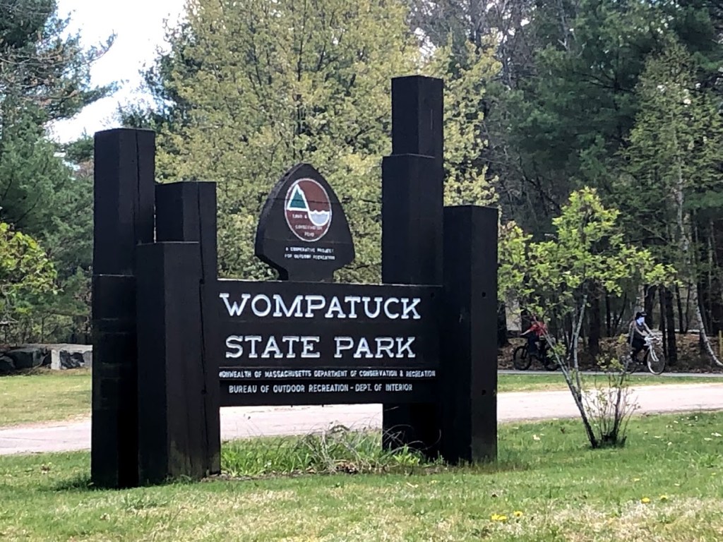
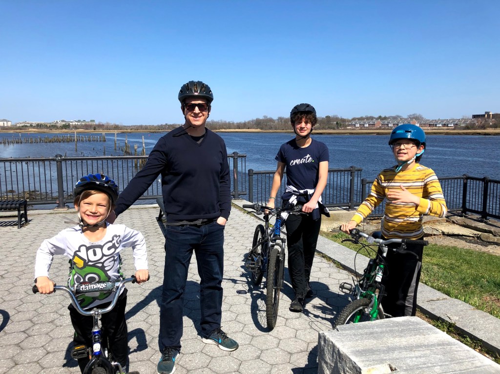
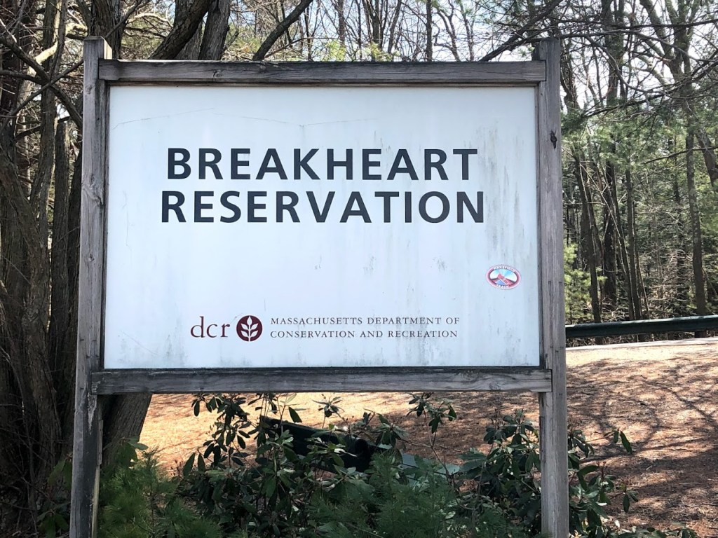
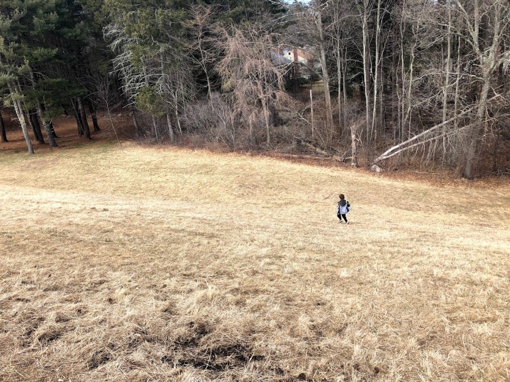
This large state park is mainly located within Hingham on the south shore. It has a 250 site campground as well as paved bicycle trails and a network of mountain bike trails. The land was once owned by Chief Josiah Wompatuck, who deeded it to the settlers in 1655.

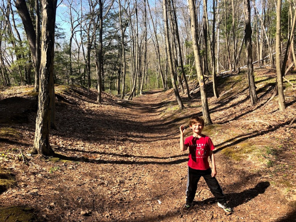
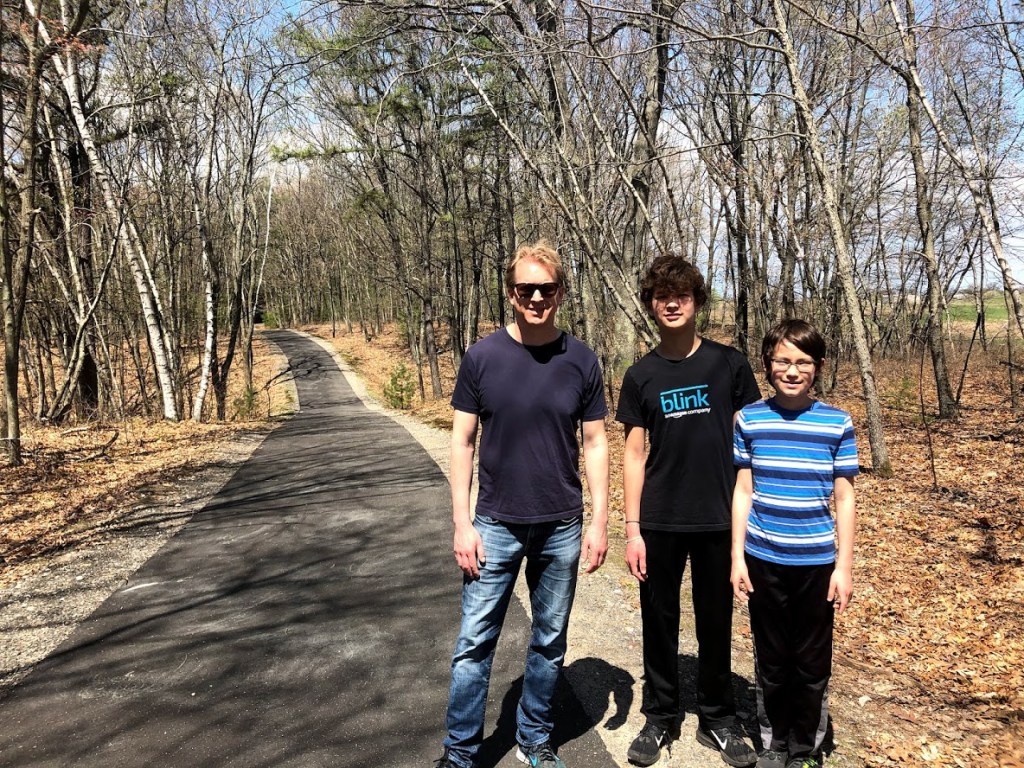
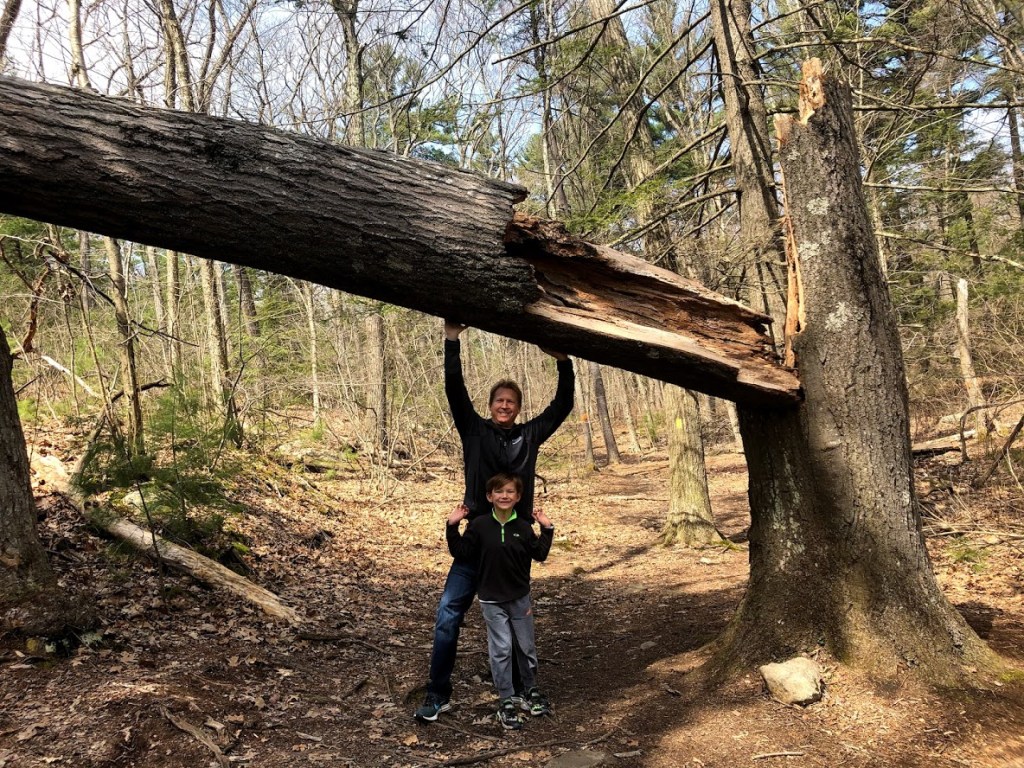
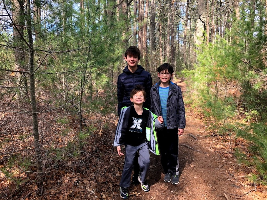
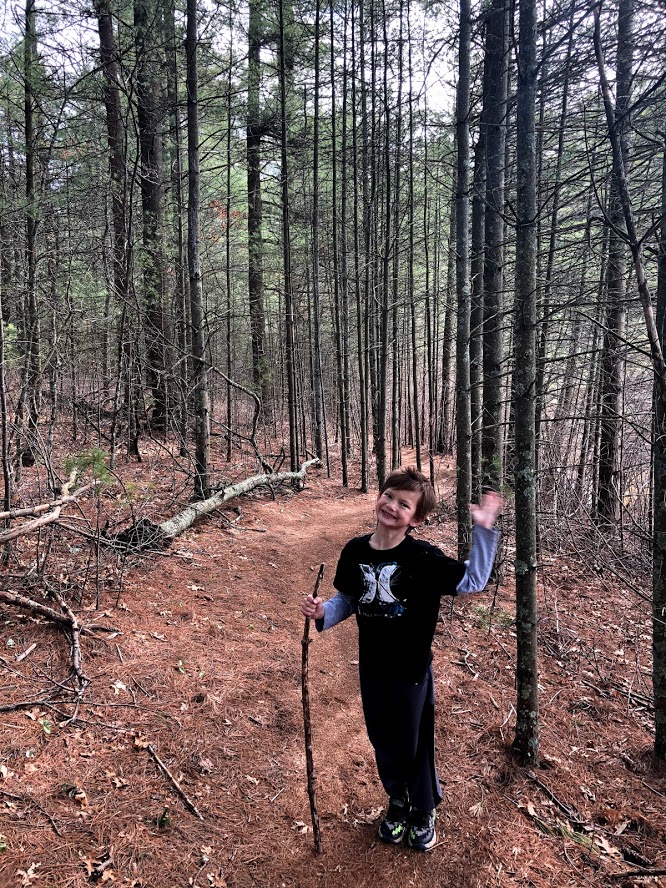
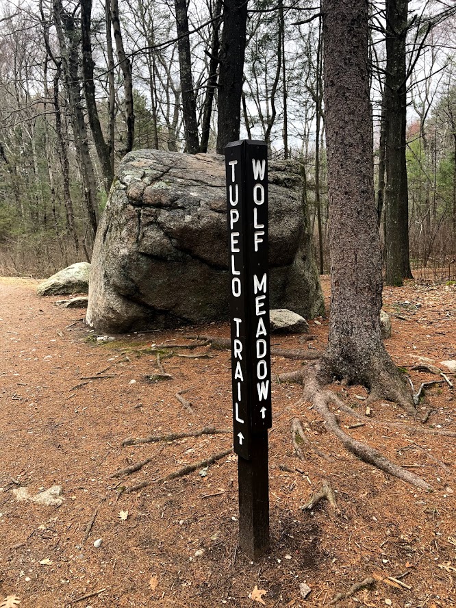
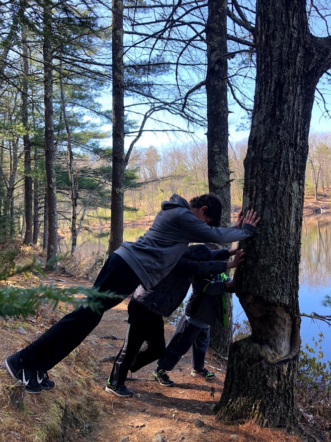
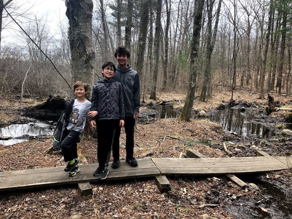
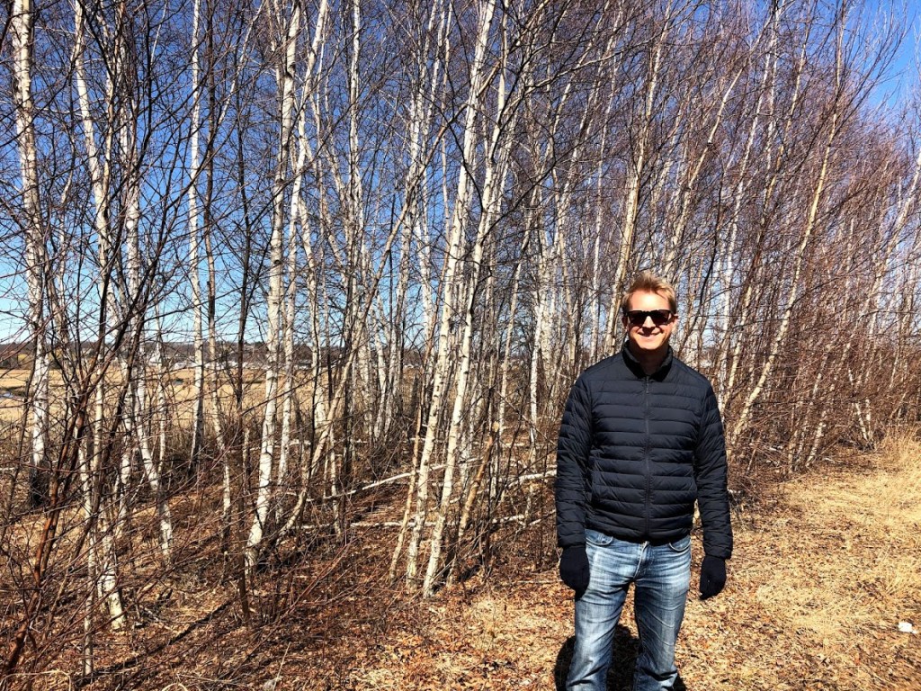
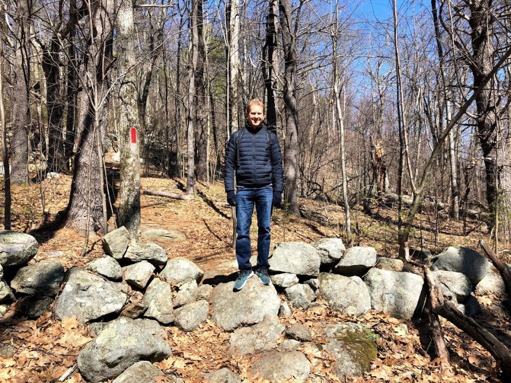
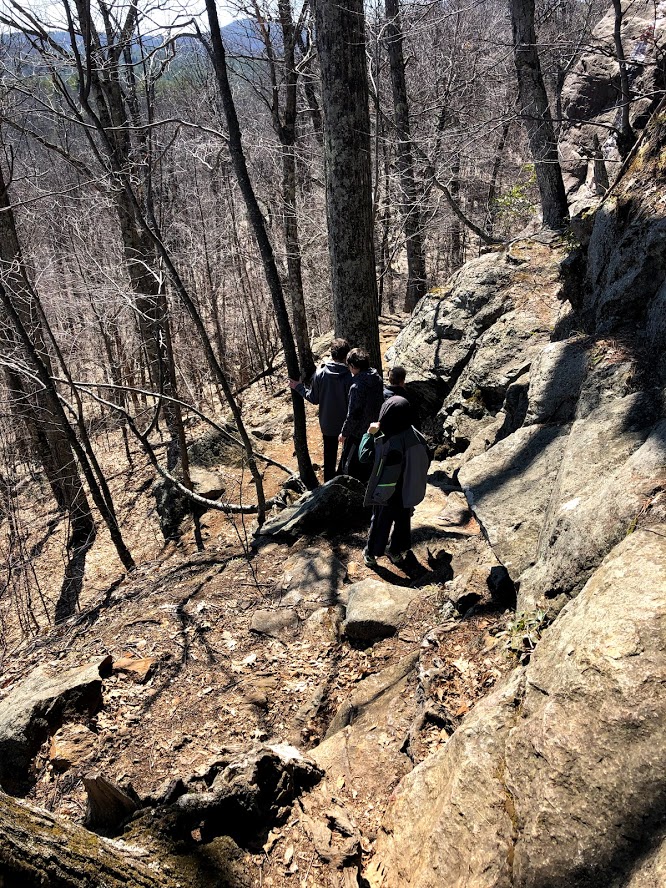
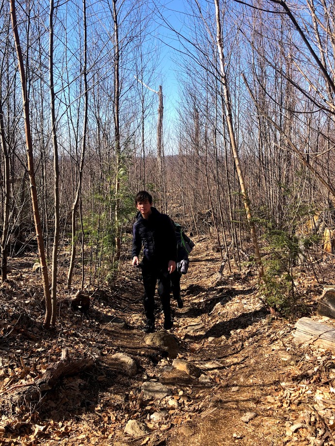
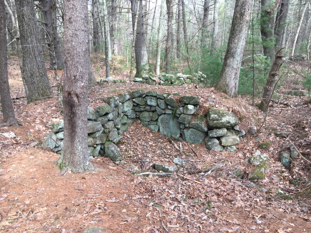
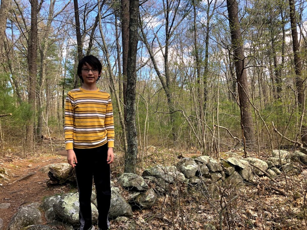
We took a loop trail that started into the woods from the large visitor center parking lot and headed west, passing by a stone wall.

Eventually we reached an old bridle path that followed along the edge of the park.

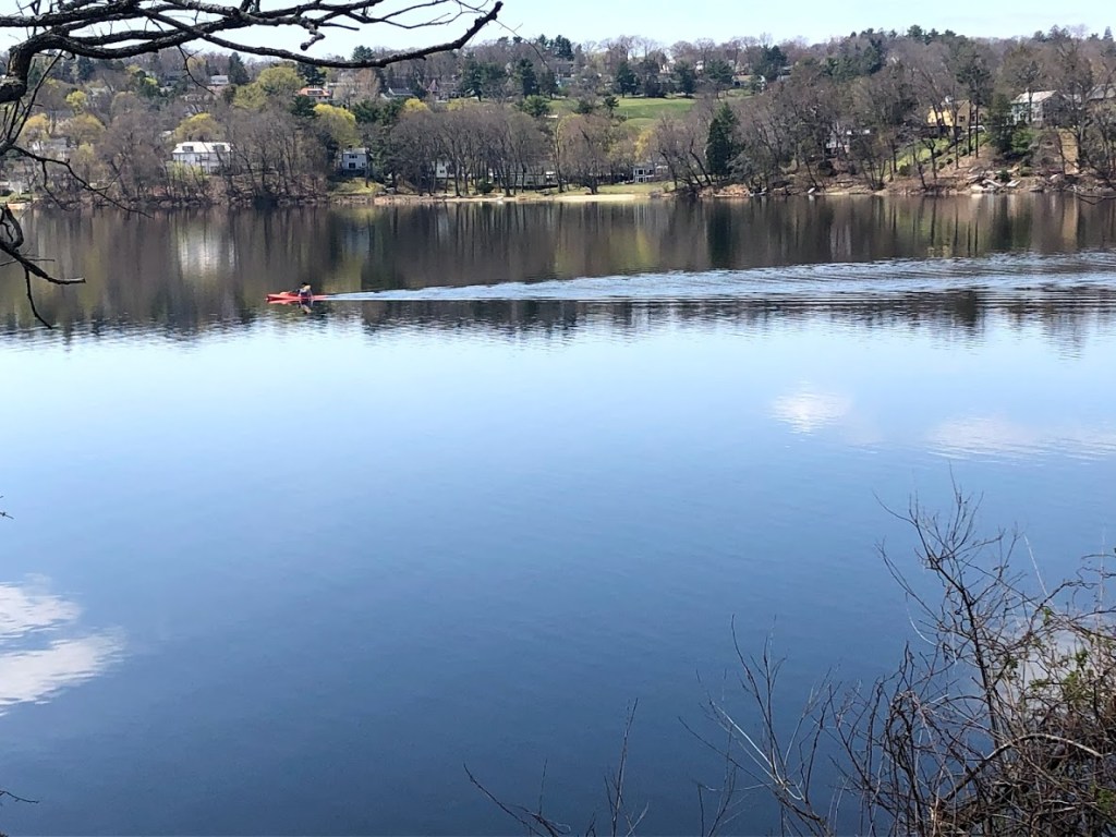
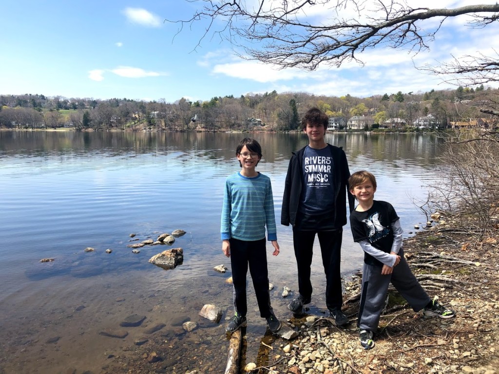
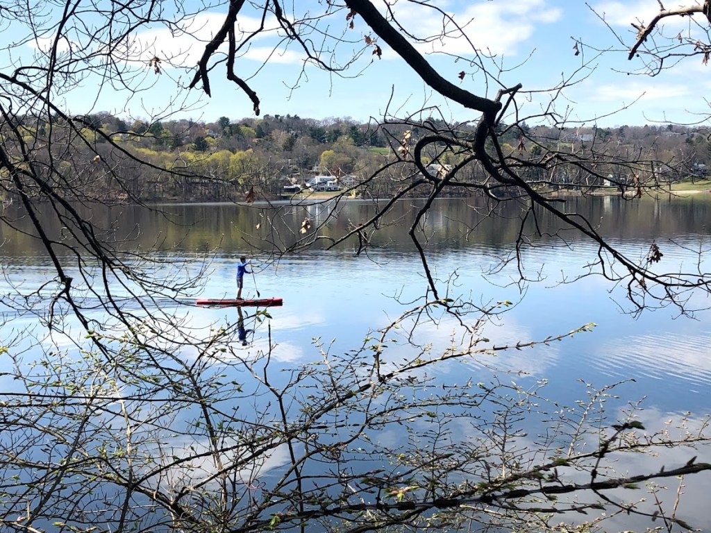
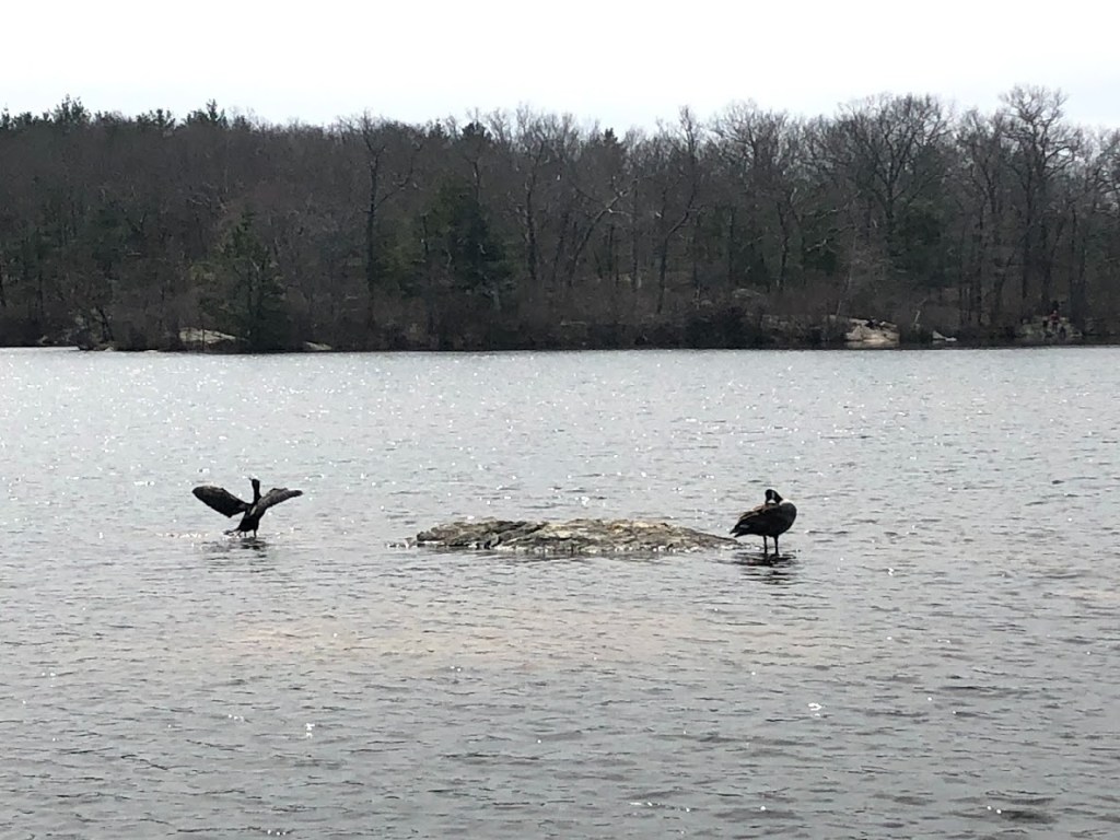
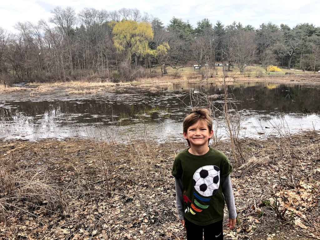
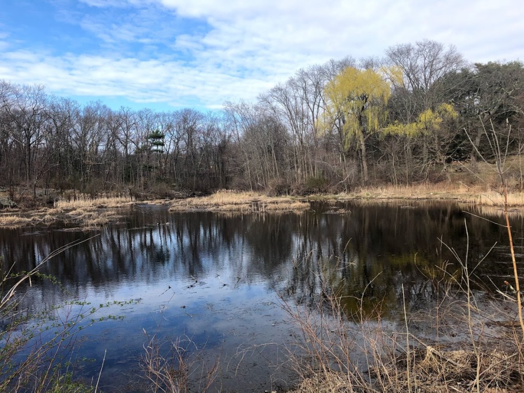
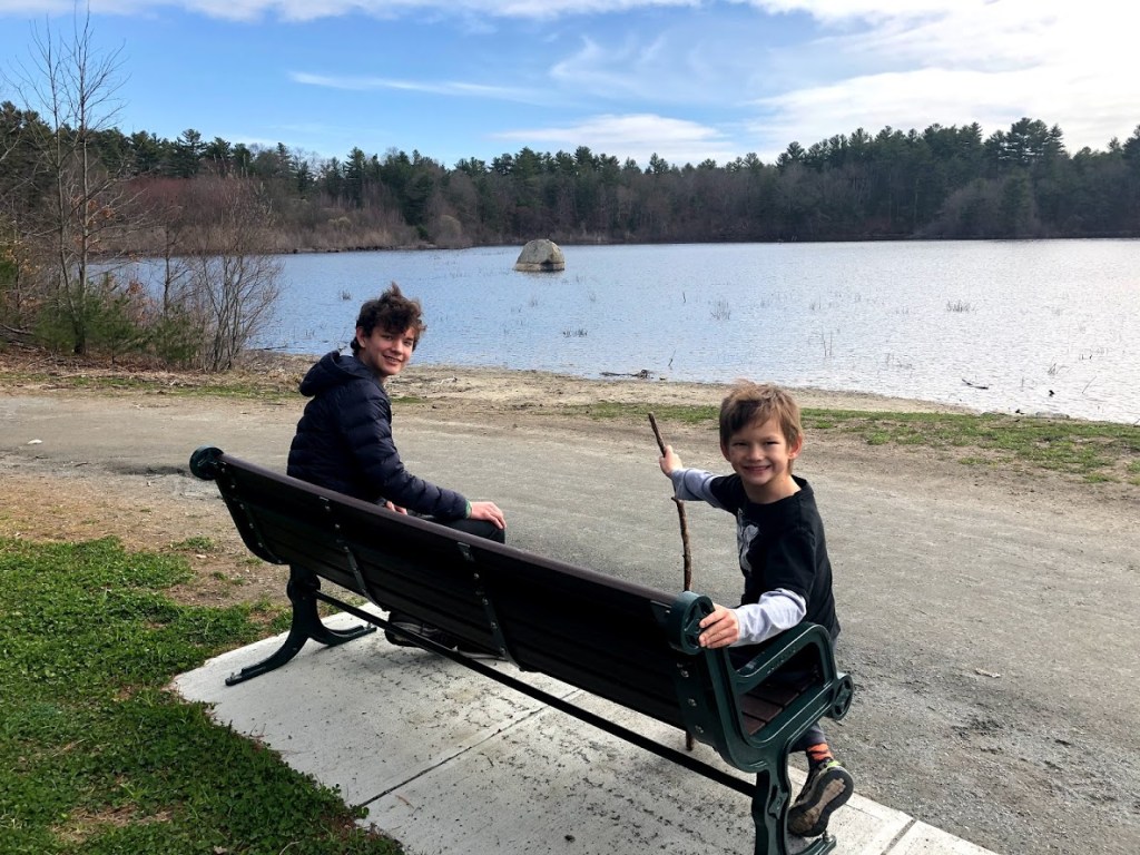
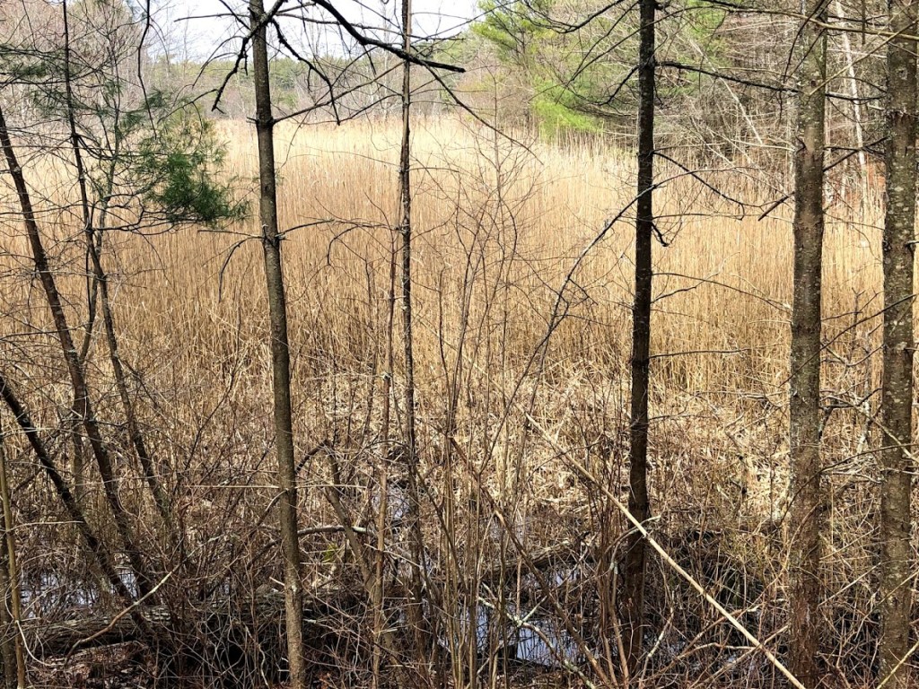
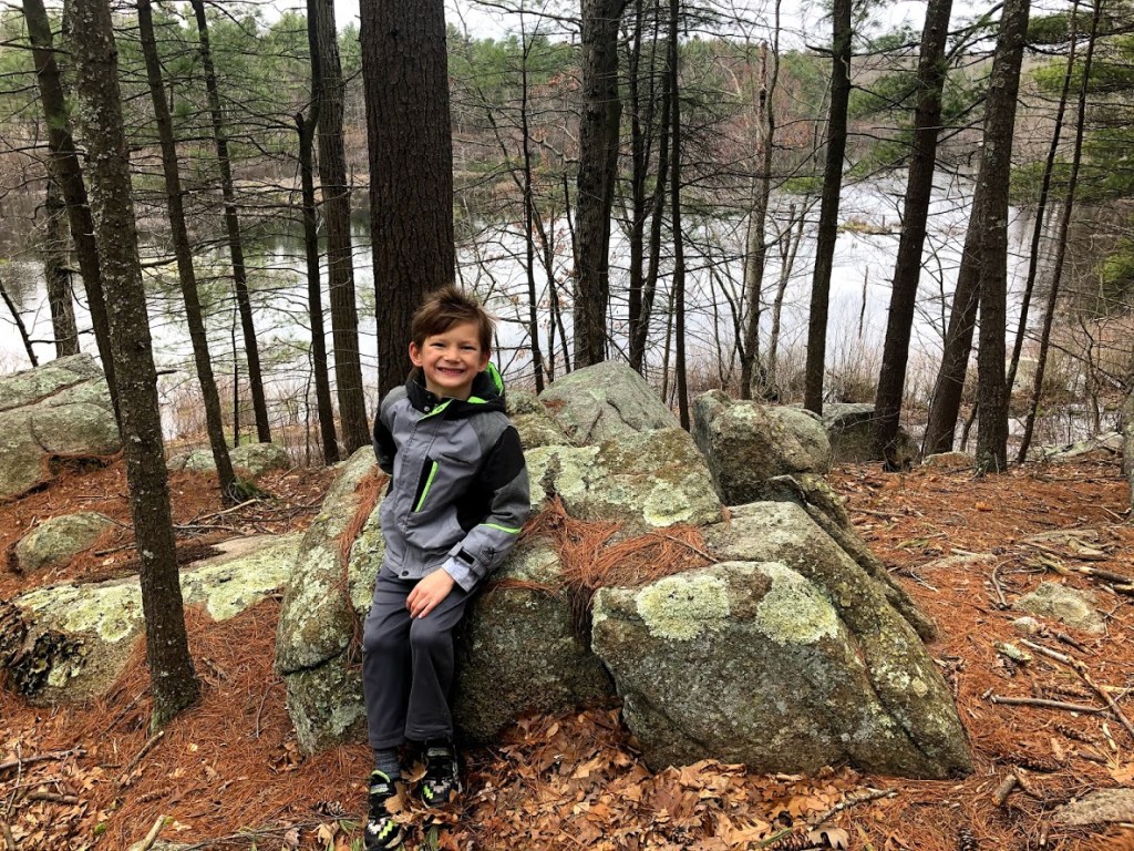
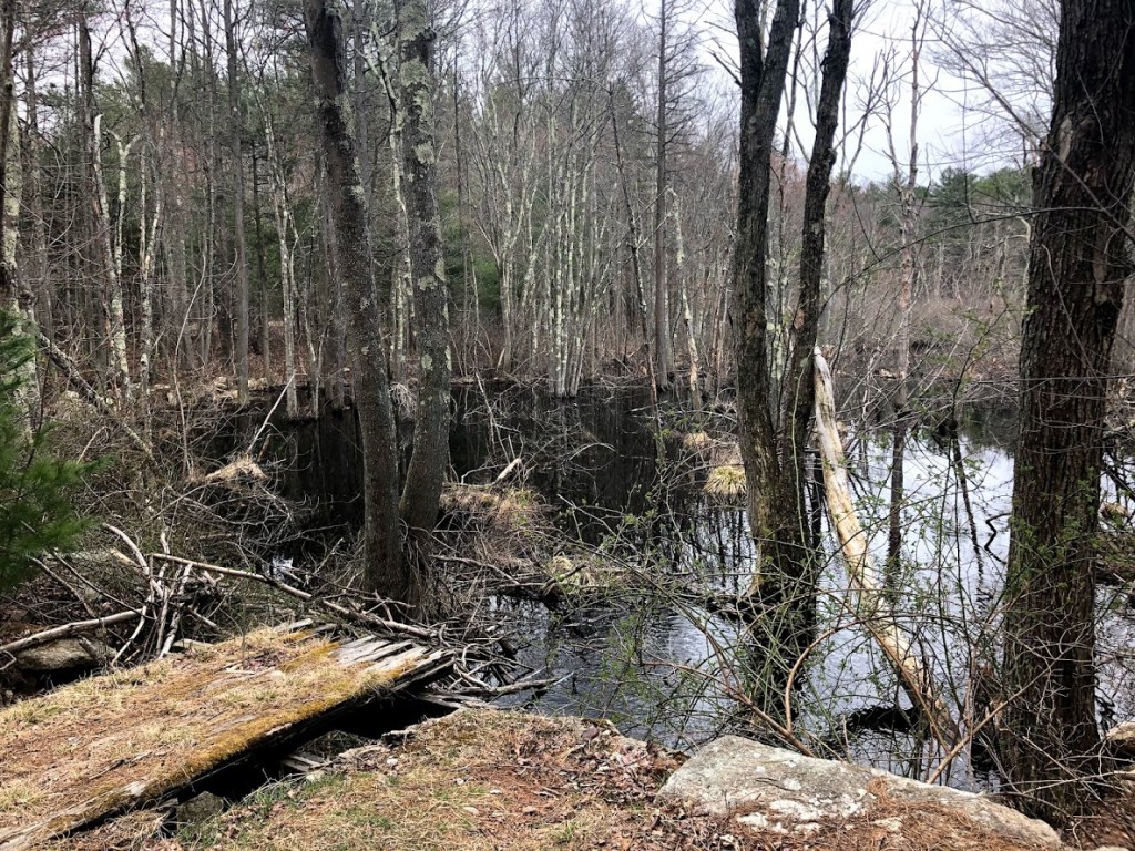
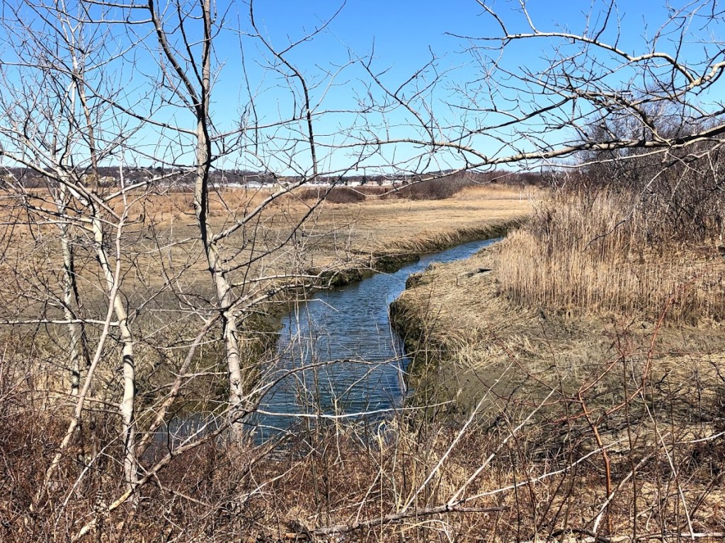
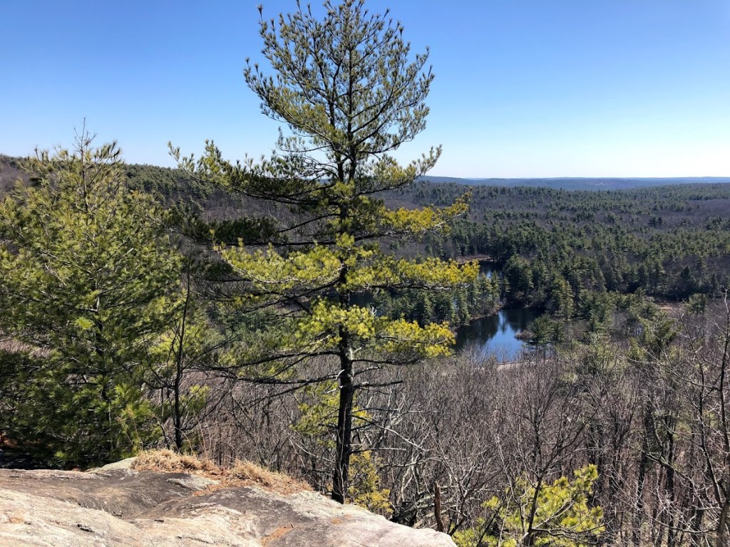
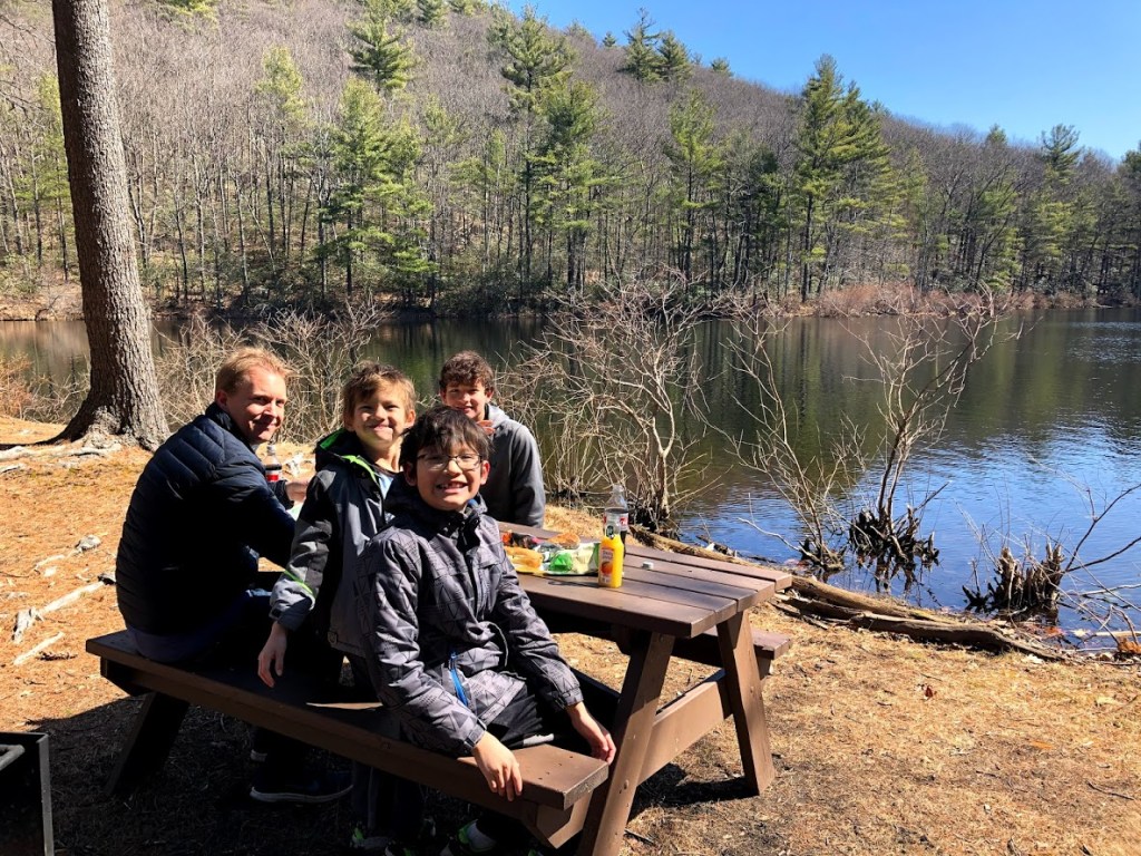
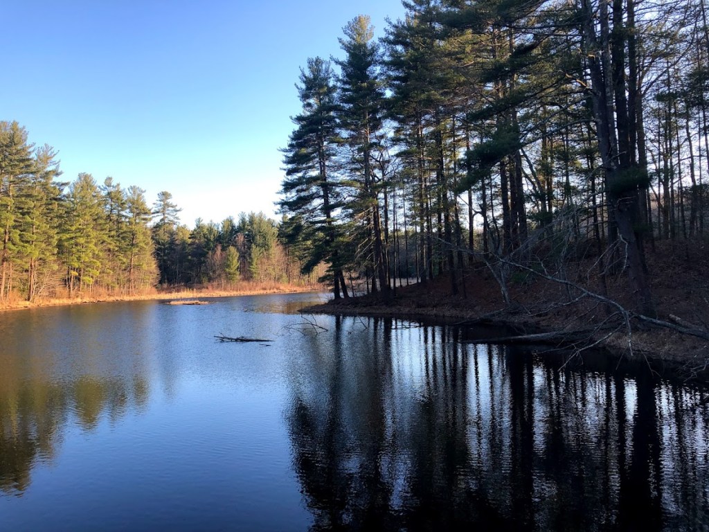
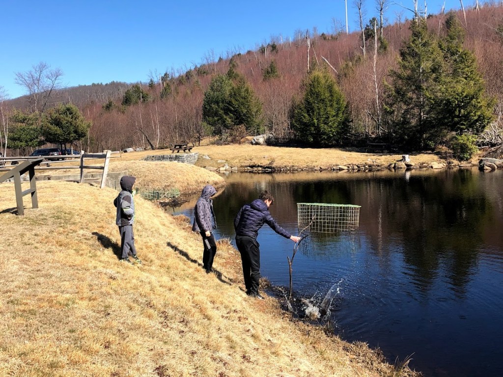
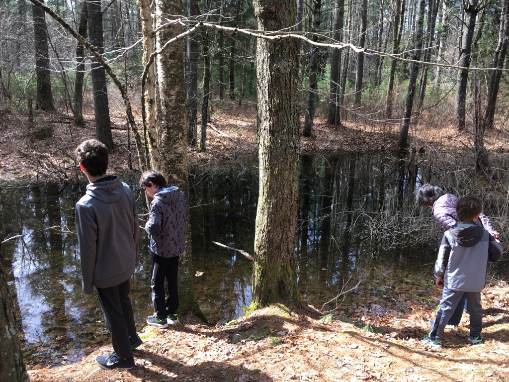
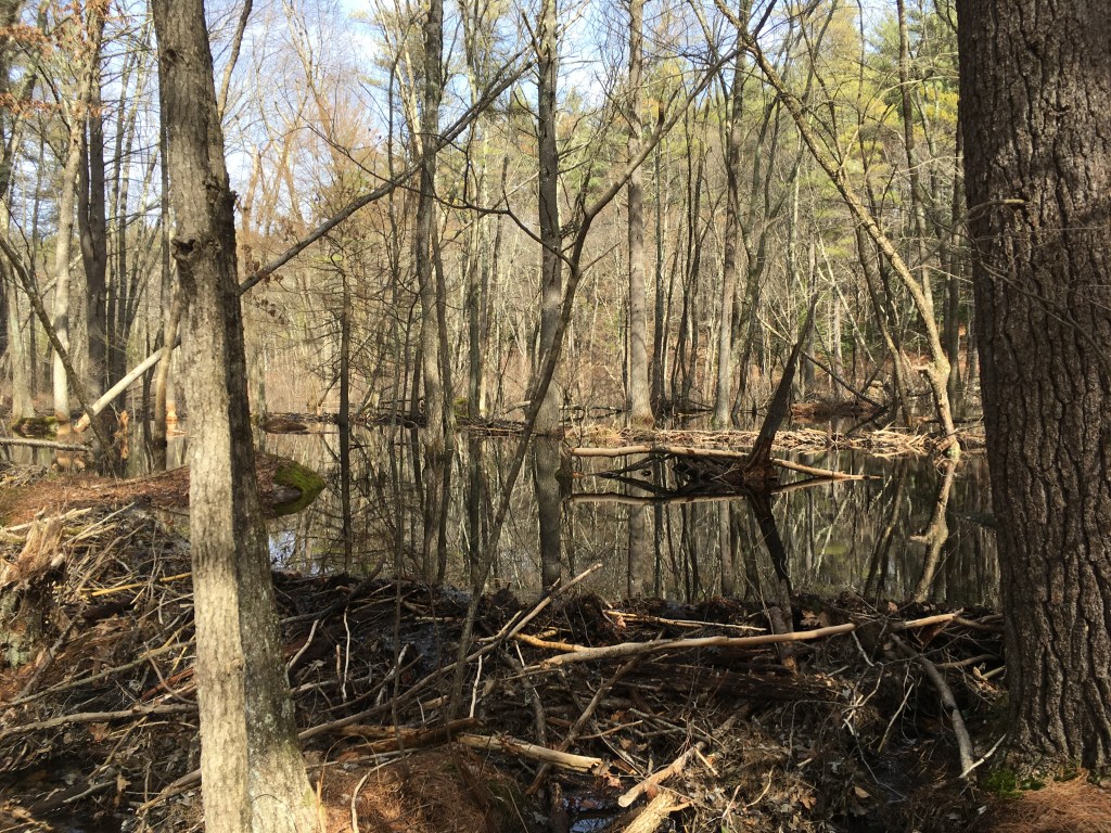
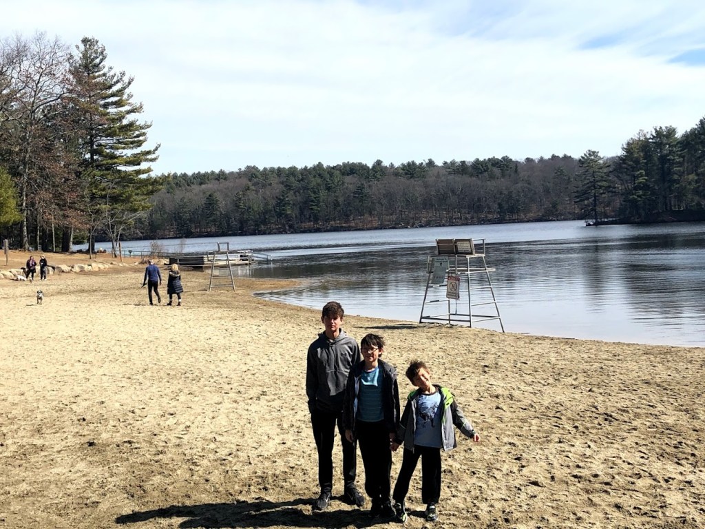
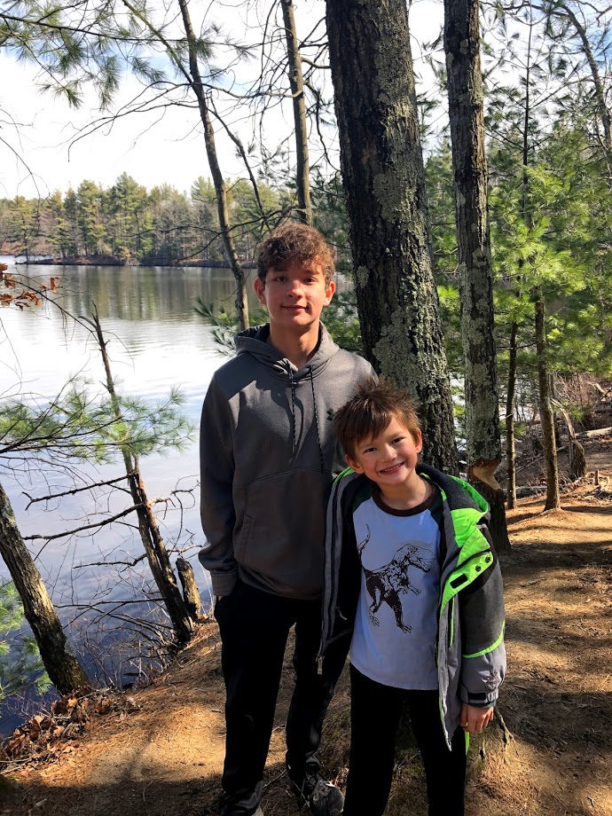
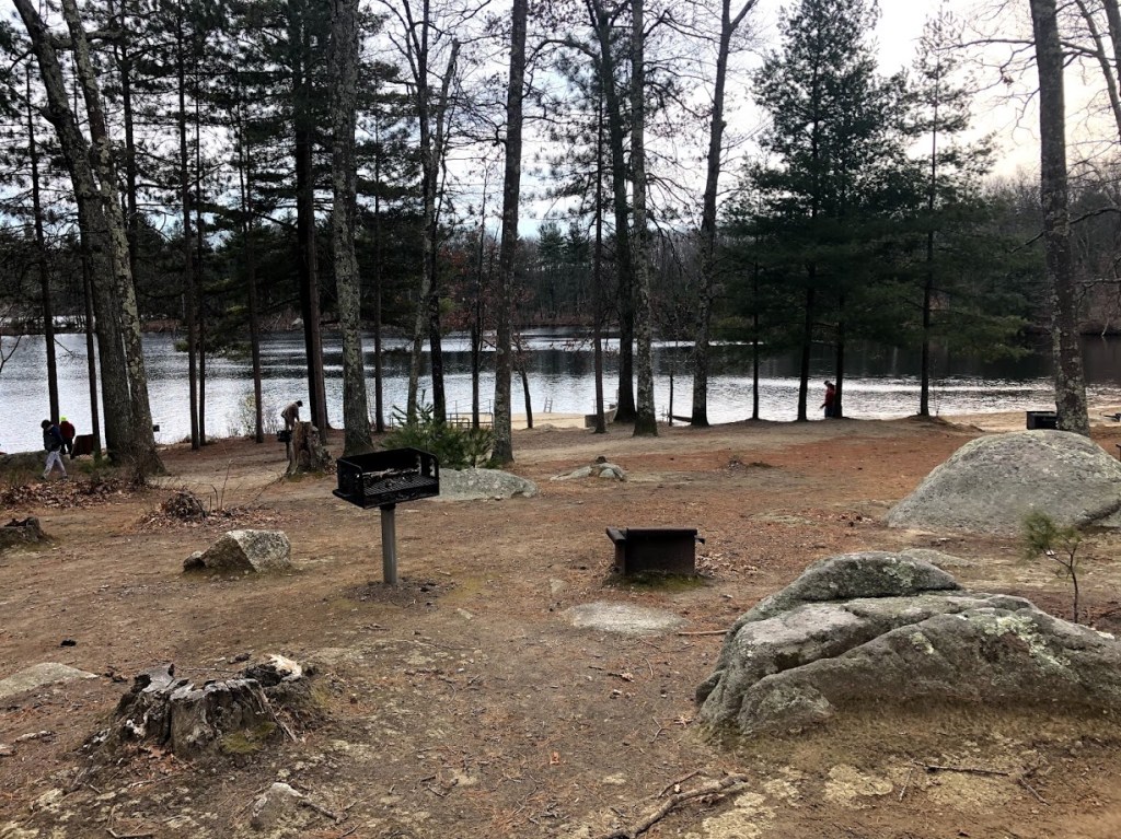
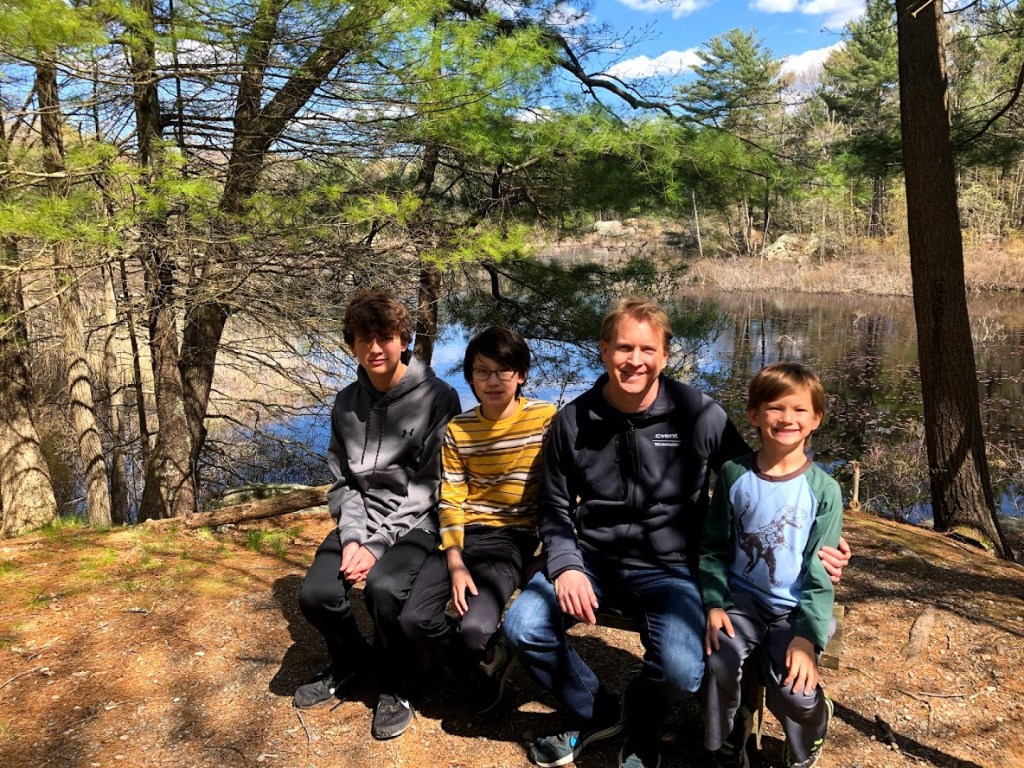
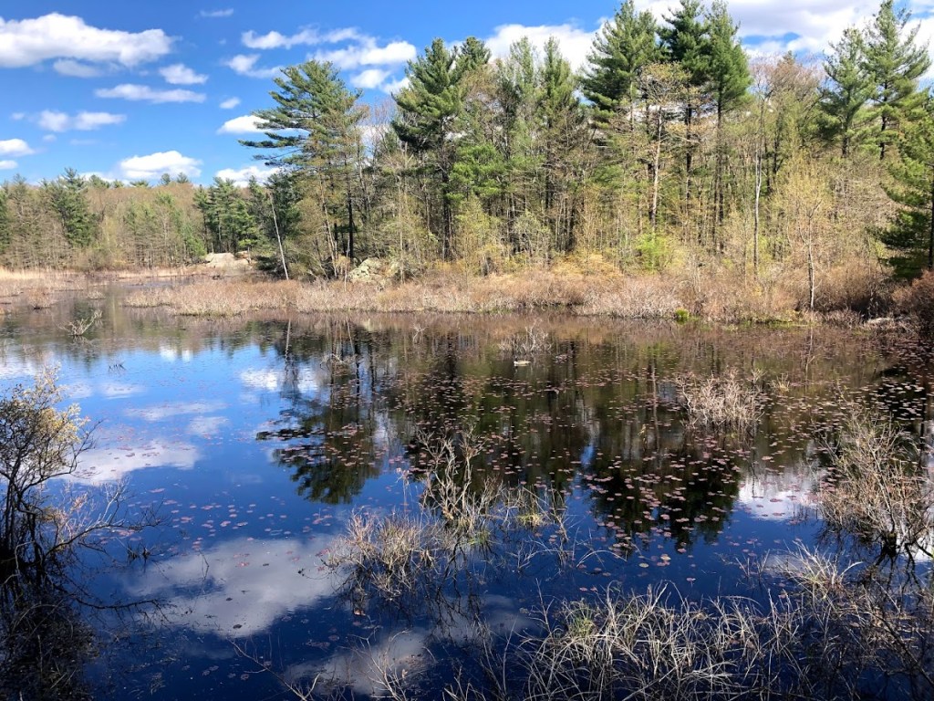
Soon we arrived at the really lovely Woodpecker Pond, where we found a few ducks that shyly swam away. The pictures below start to show how striking the reflected sky appeared in the waters.

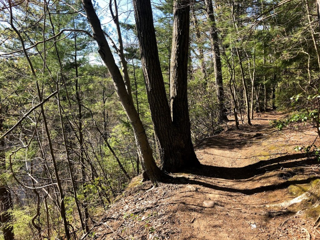
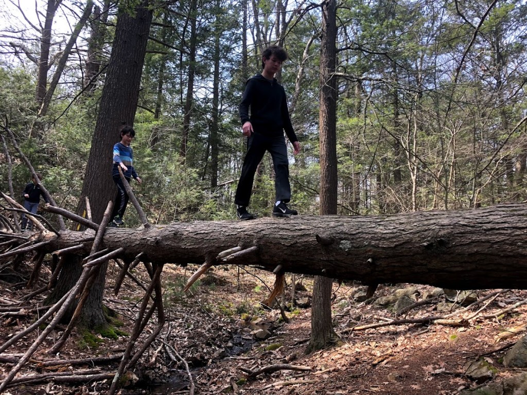
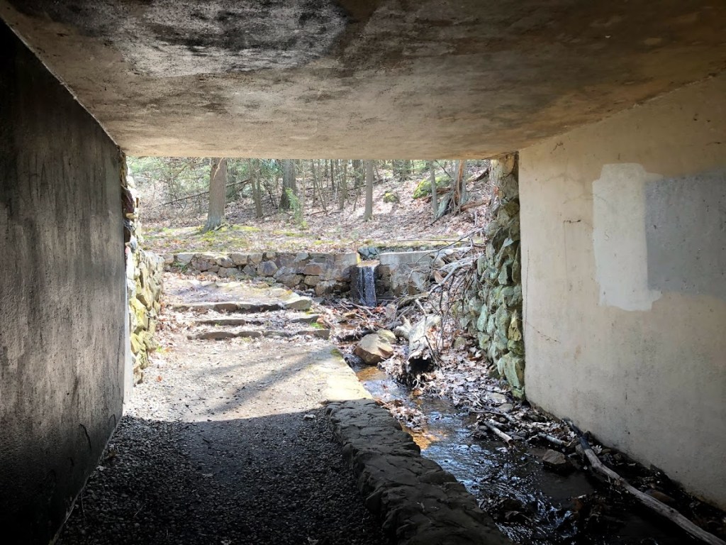
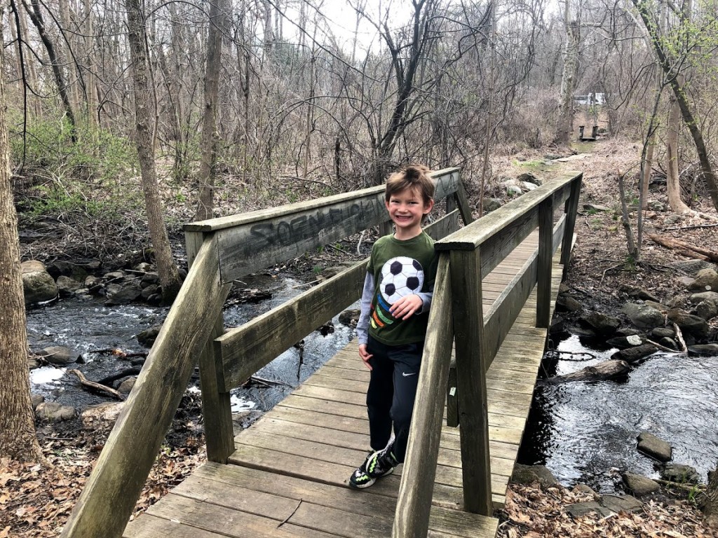
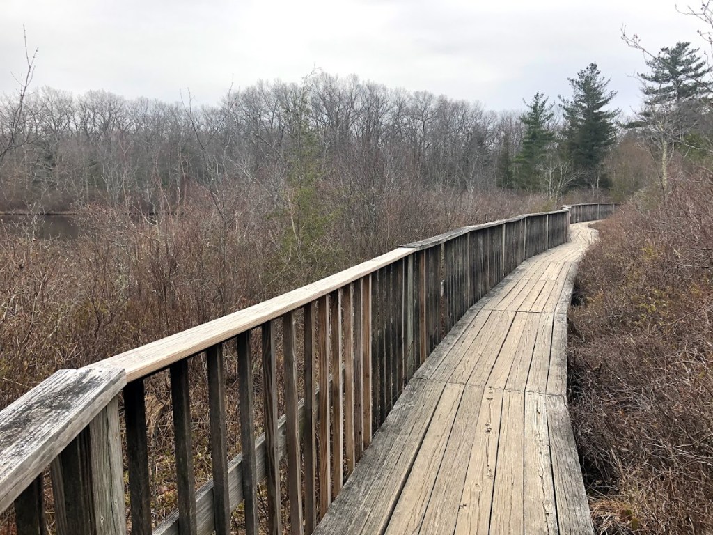
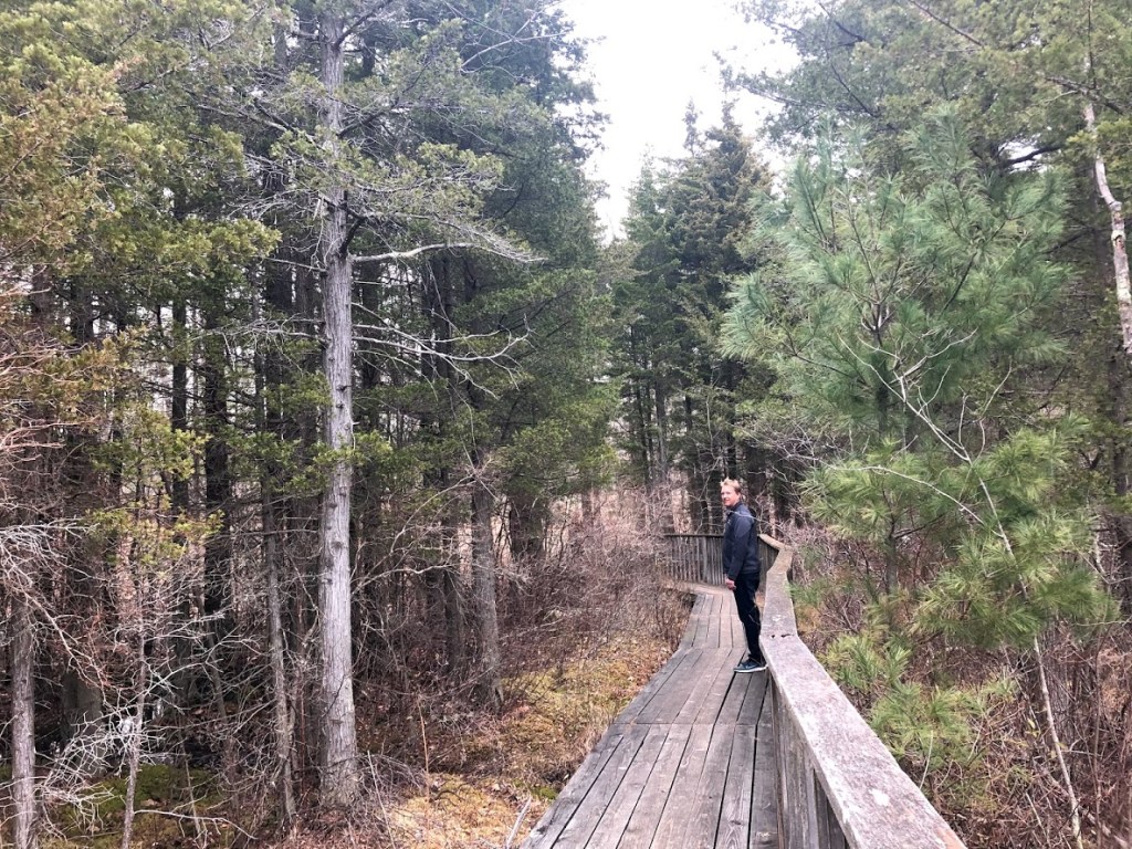
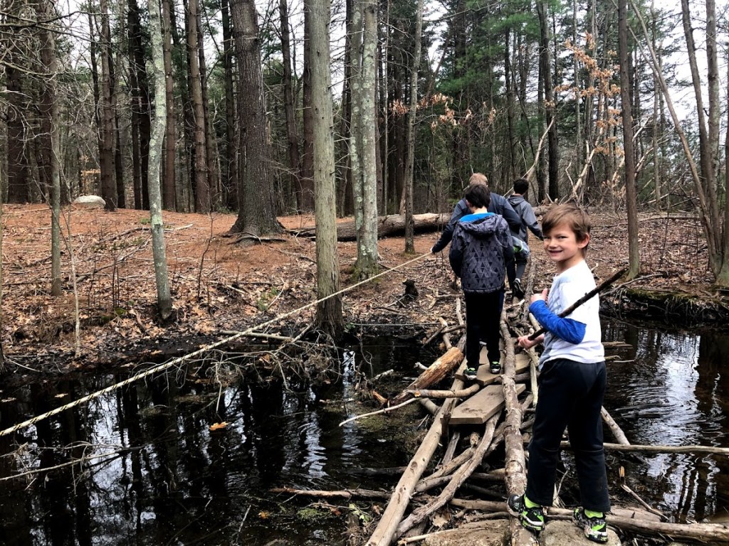
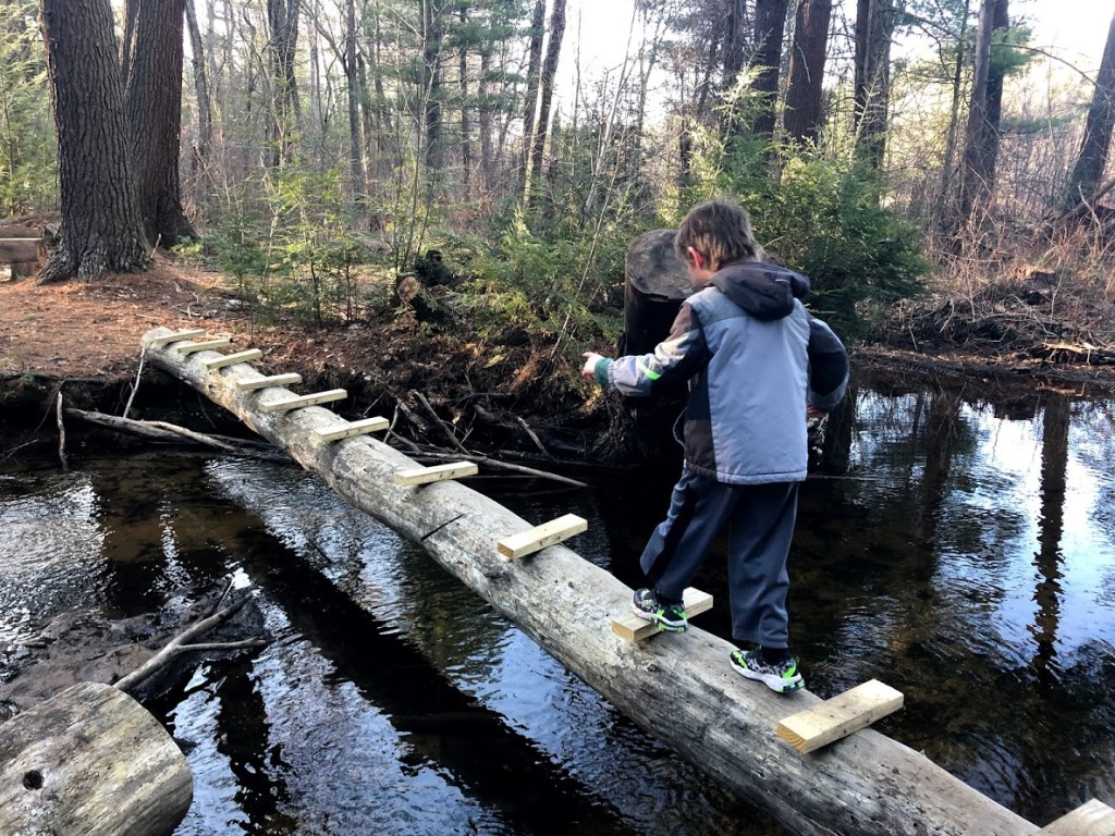
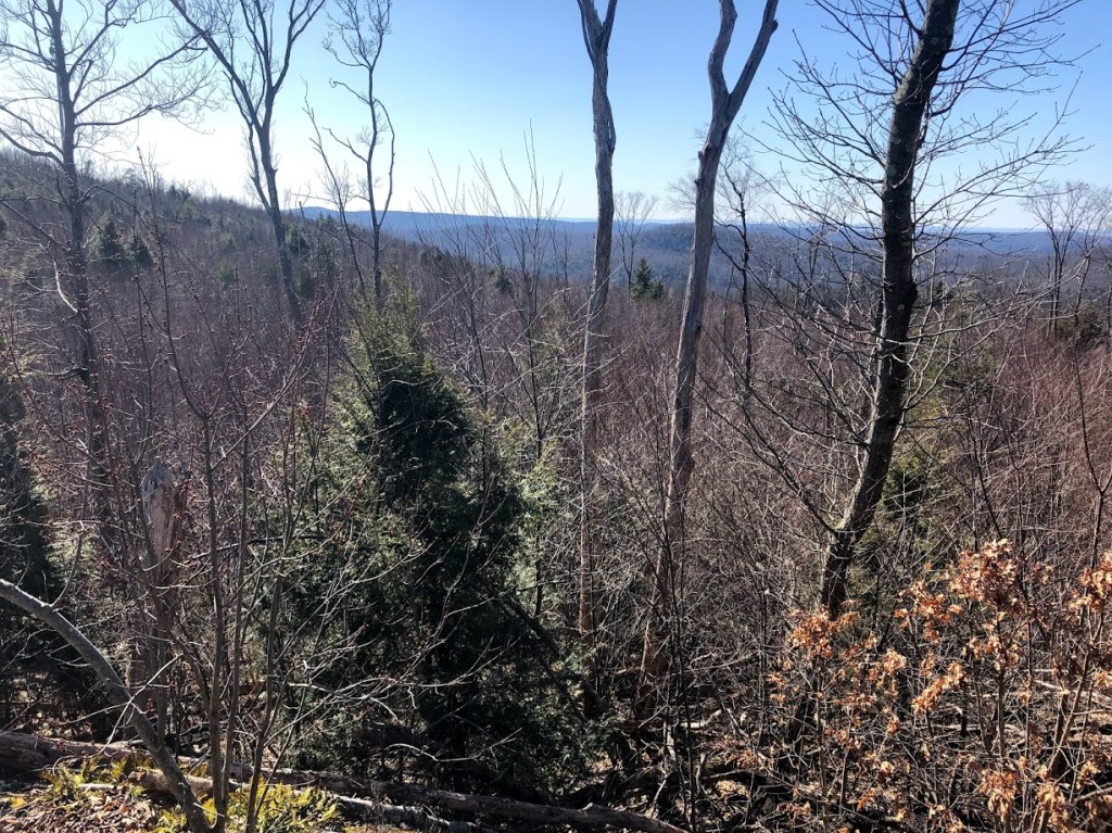
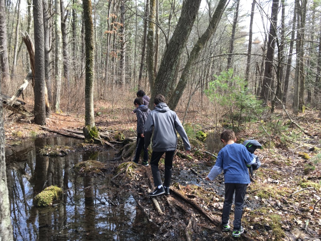
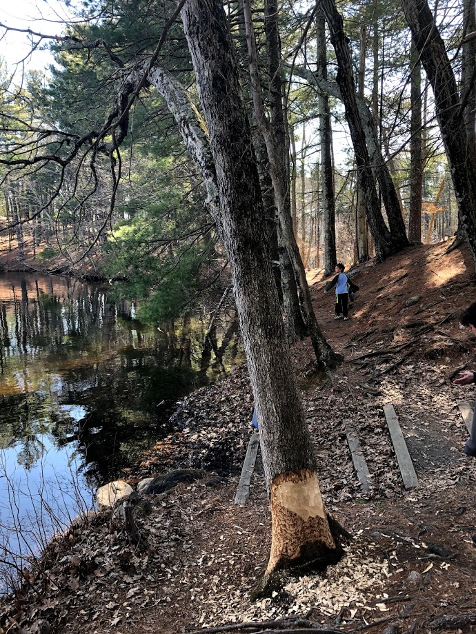
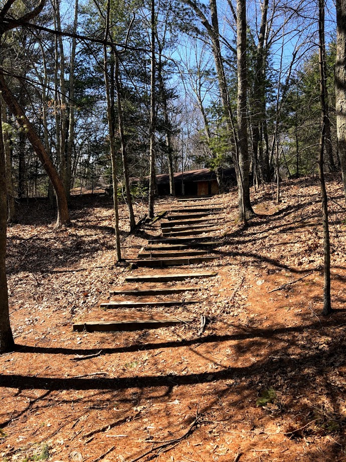
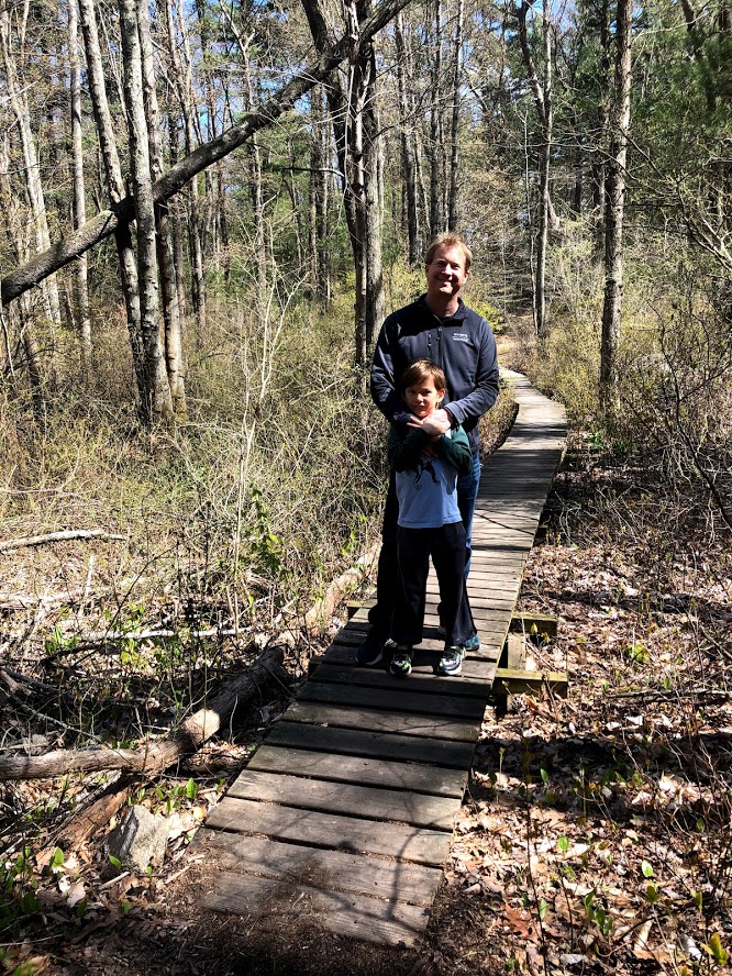
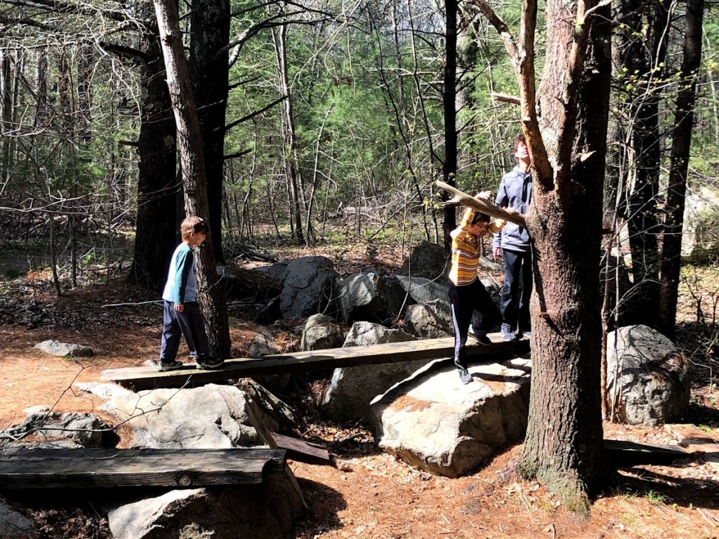
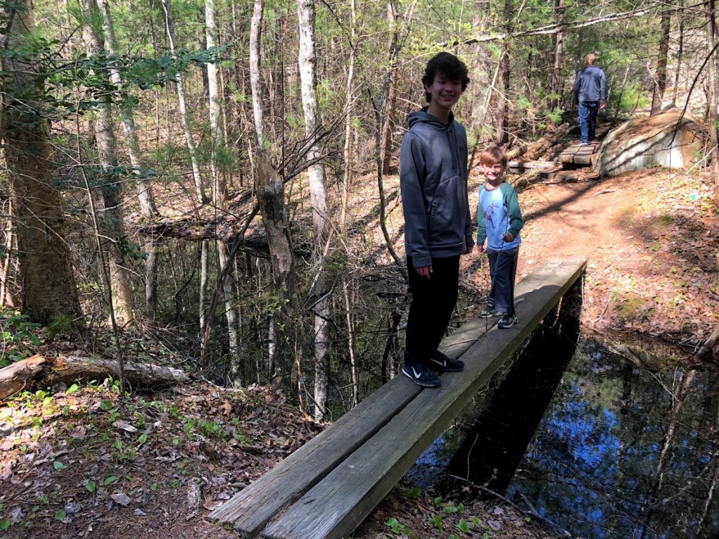
The forest was at times somewhat swampy but there were well-maintained boardwalks to cross these sections.

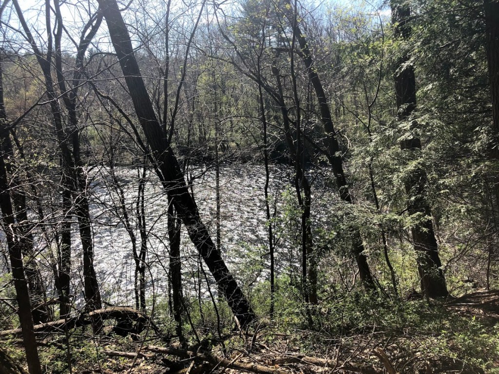
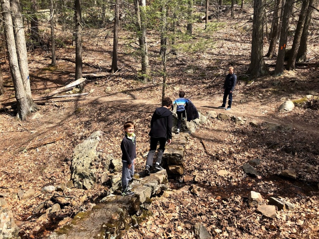
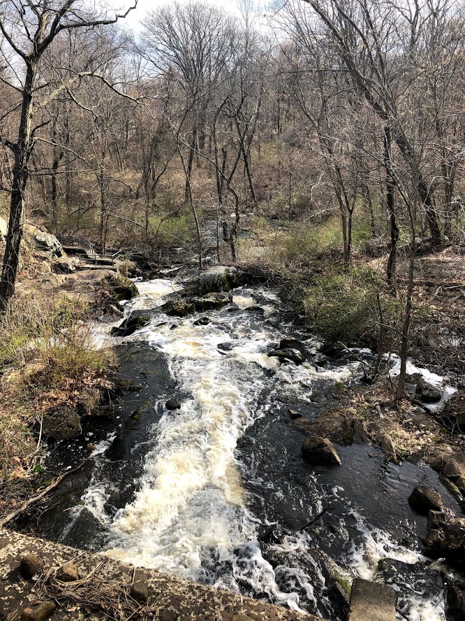
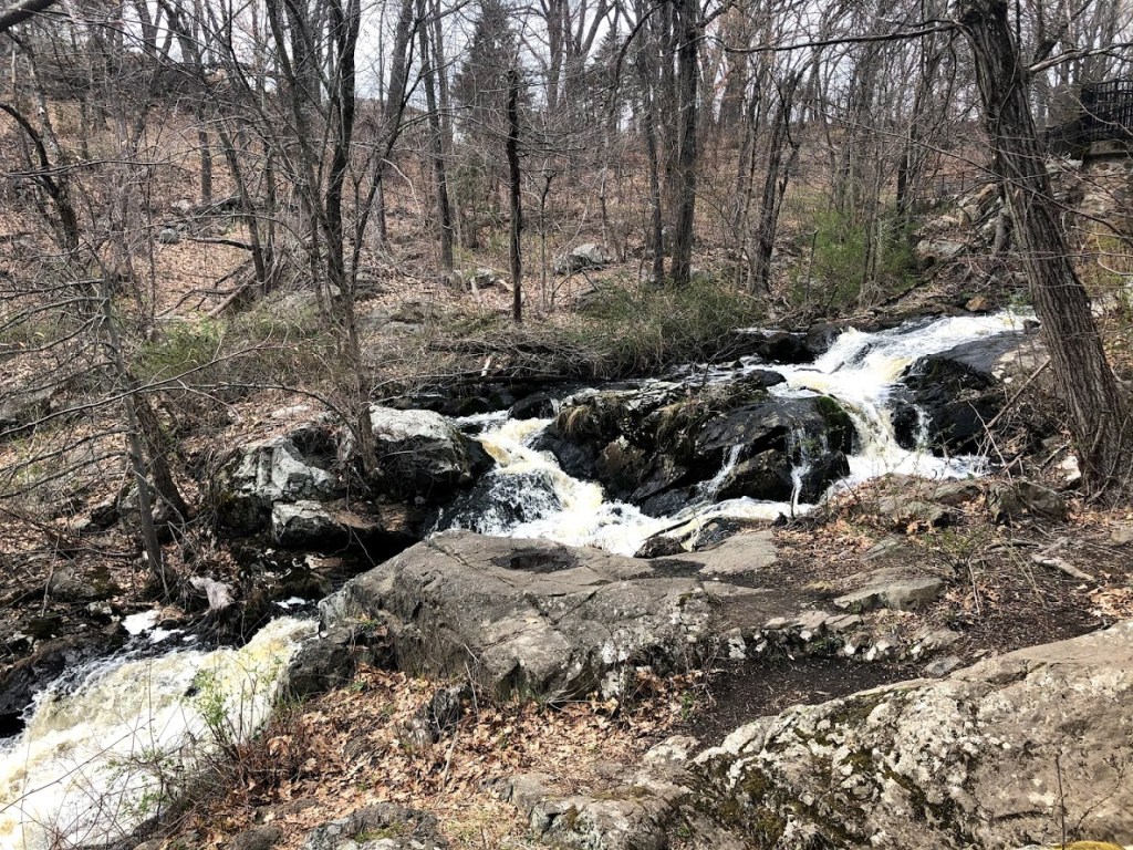
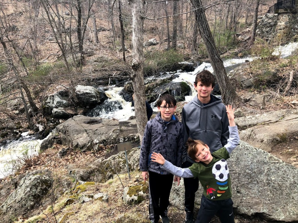
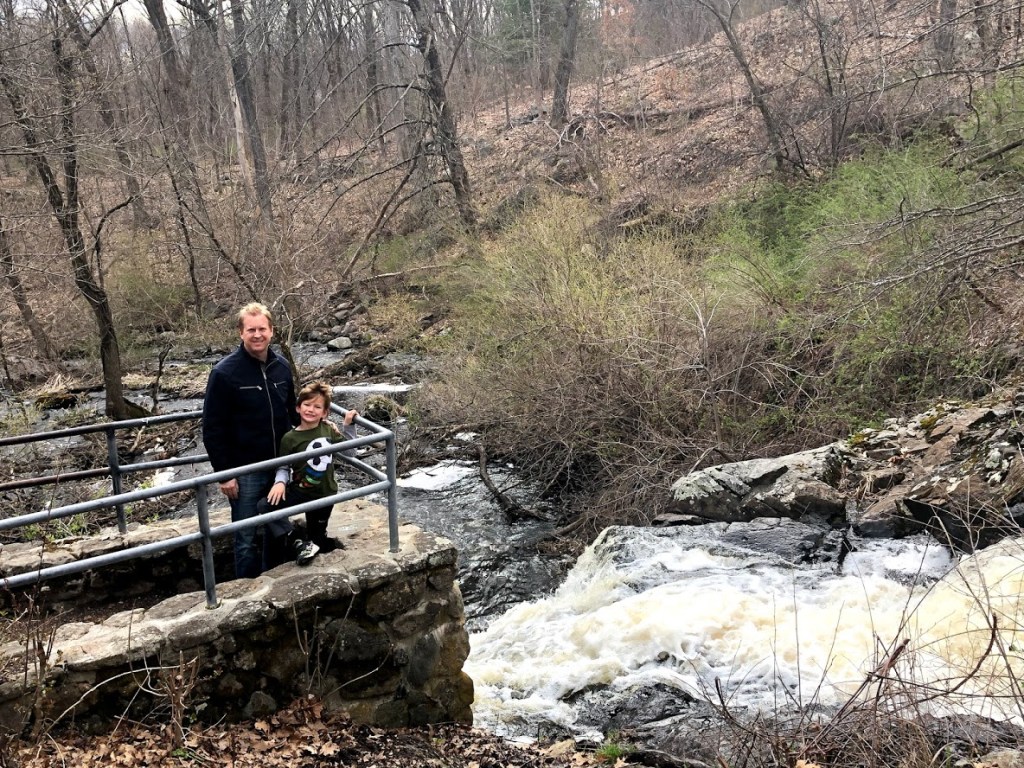
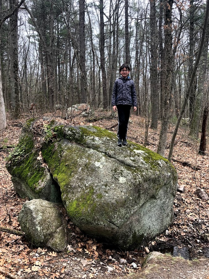
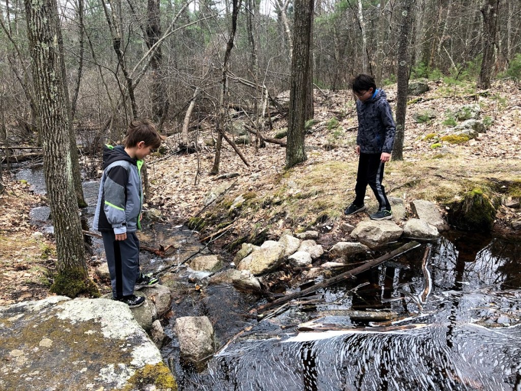
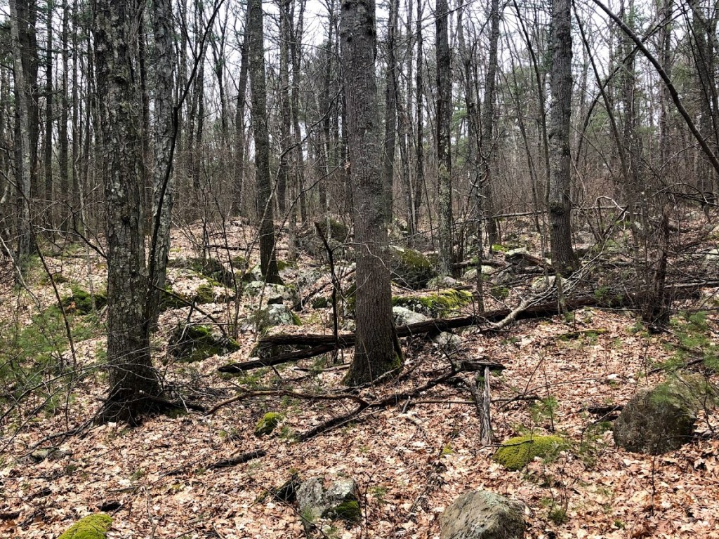
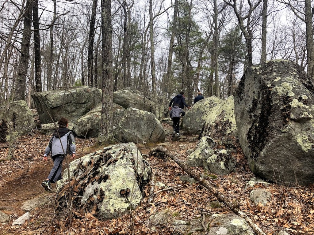
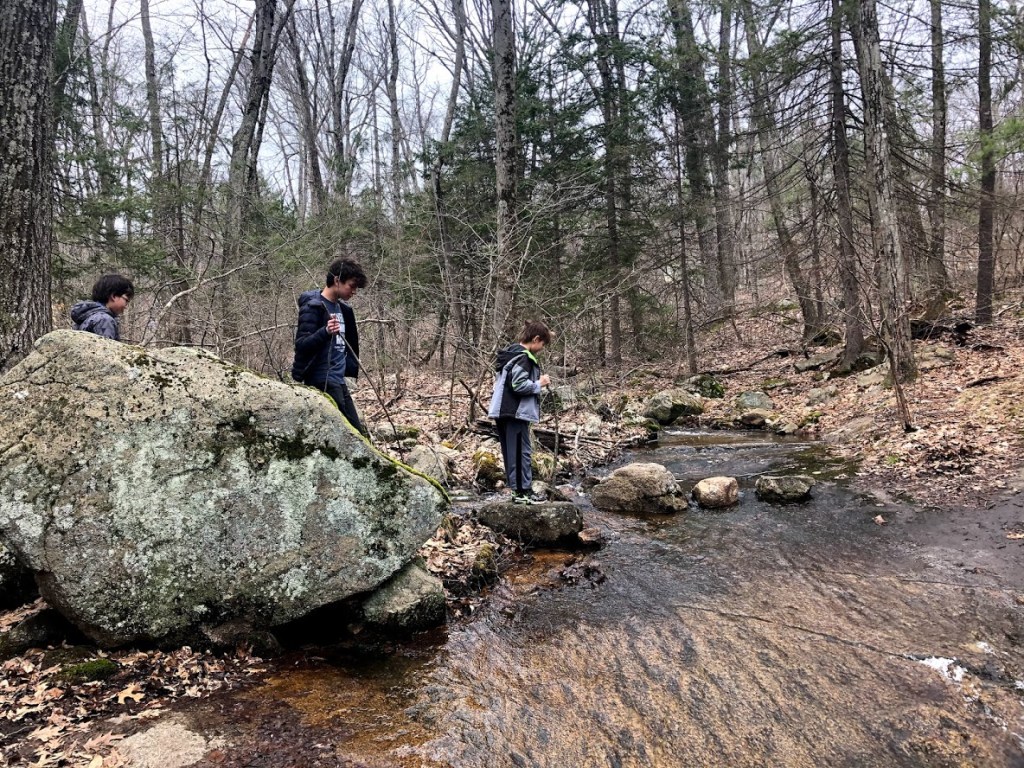
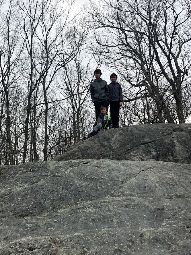
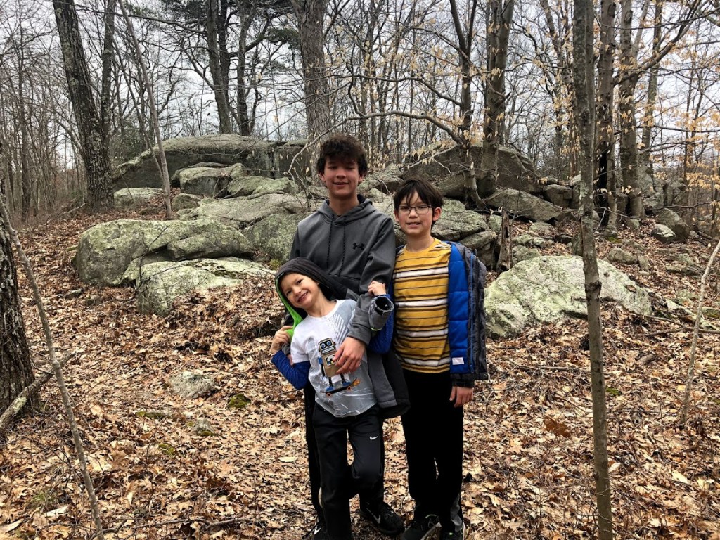
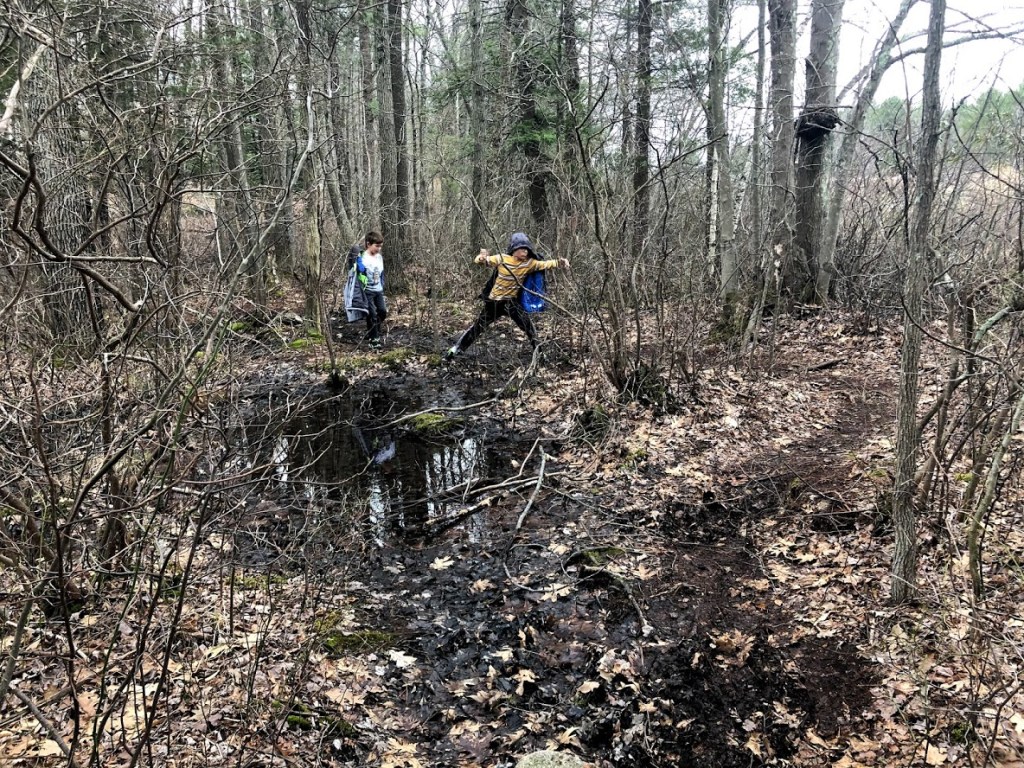
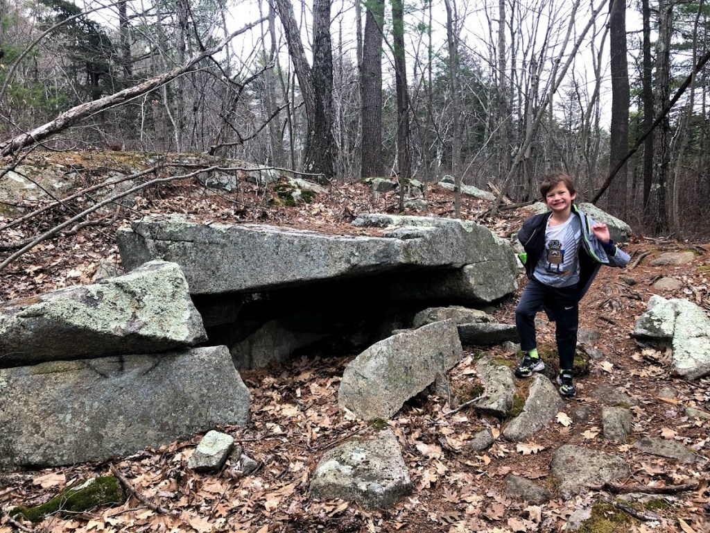
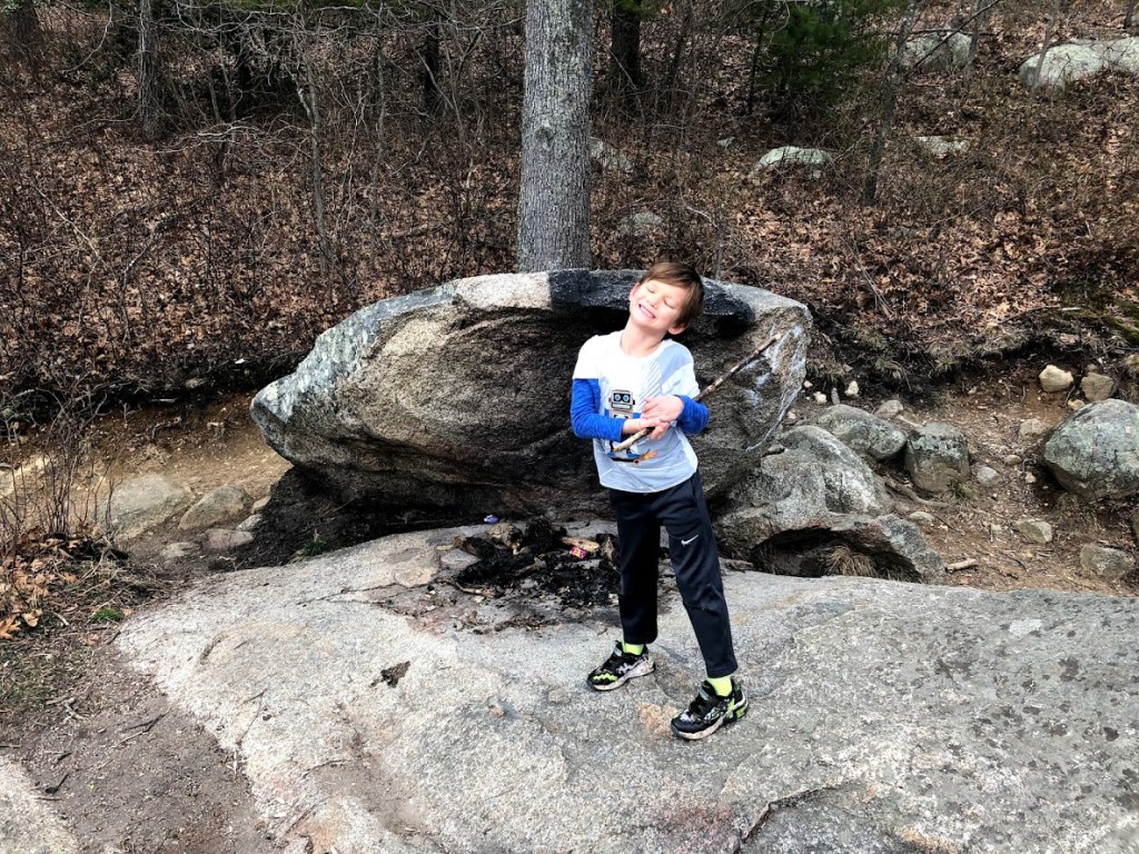
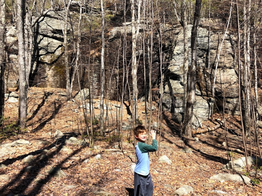
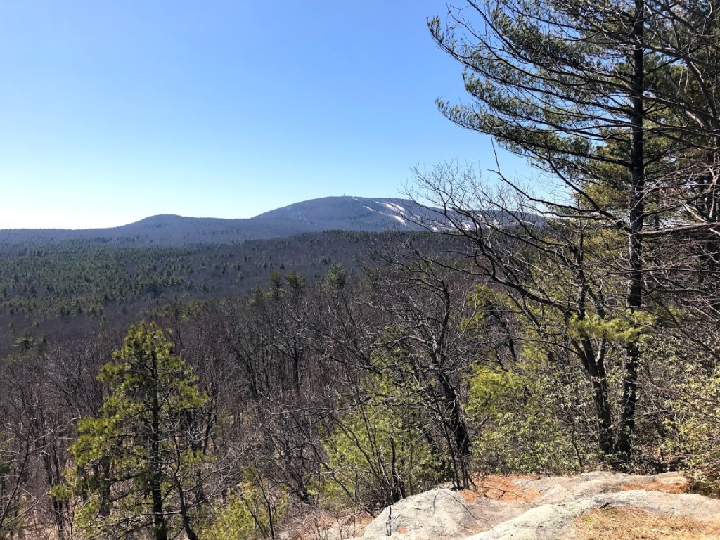
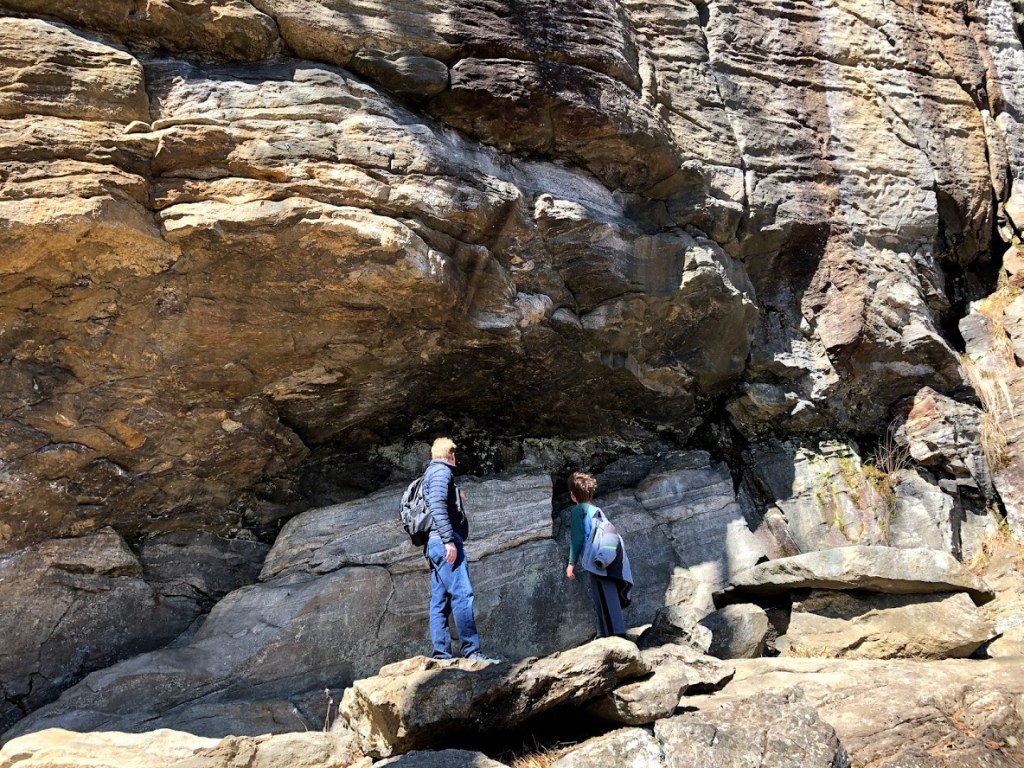
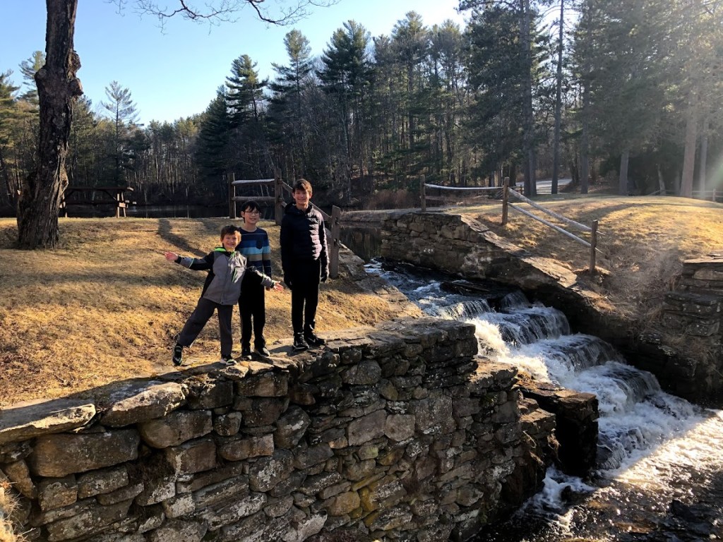
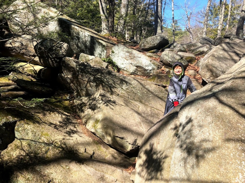
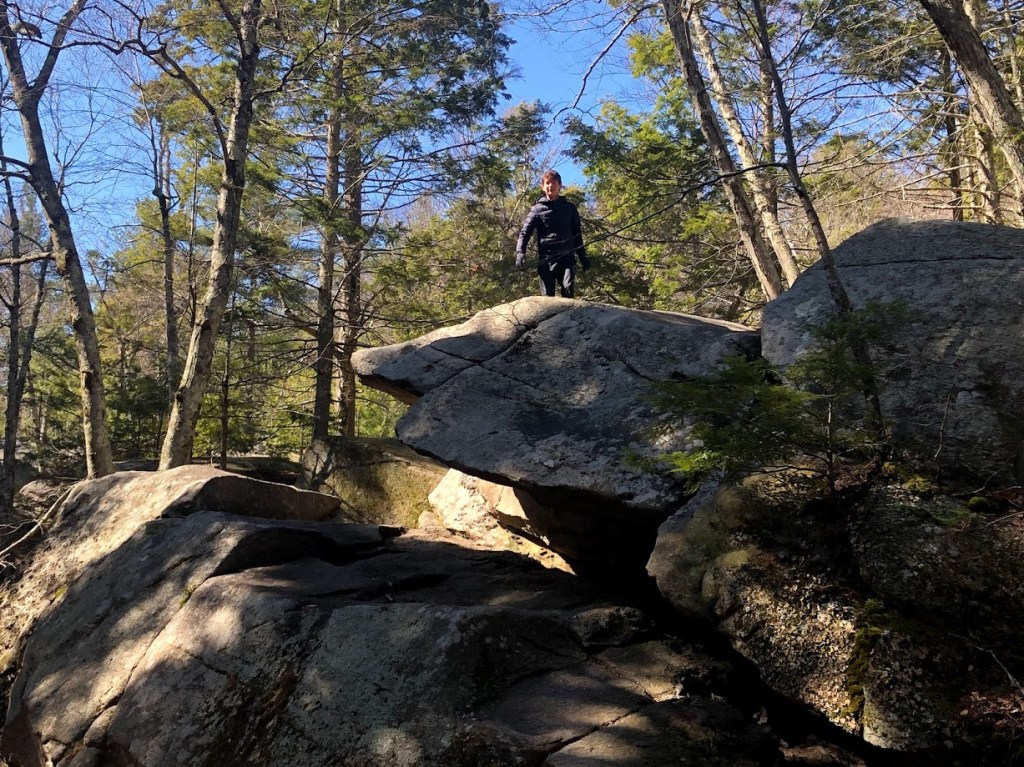
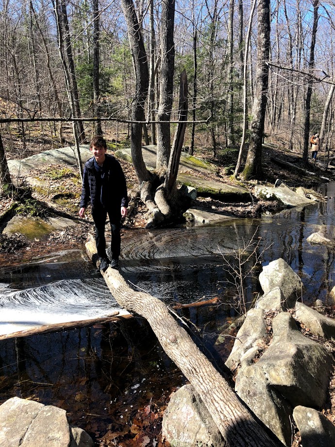
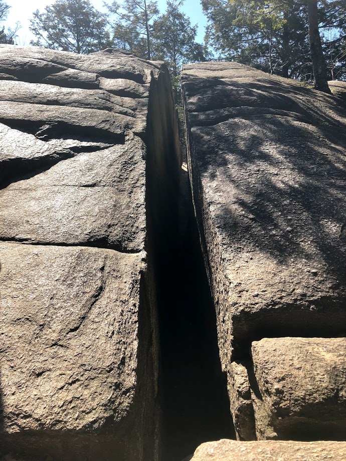
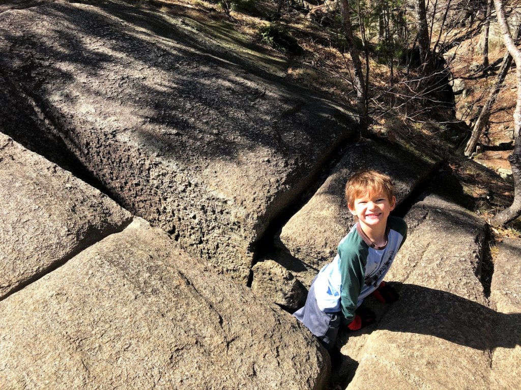
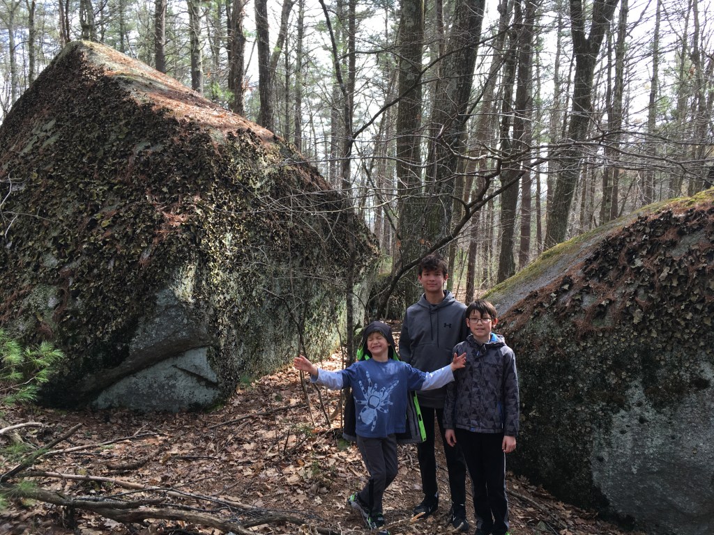
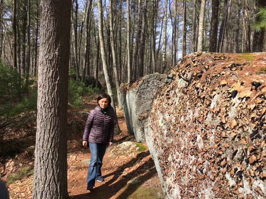
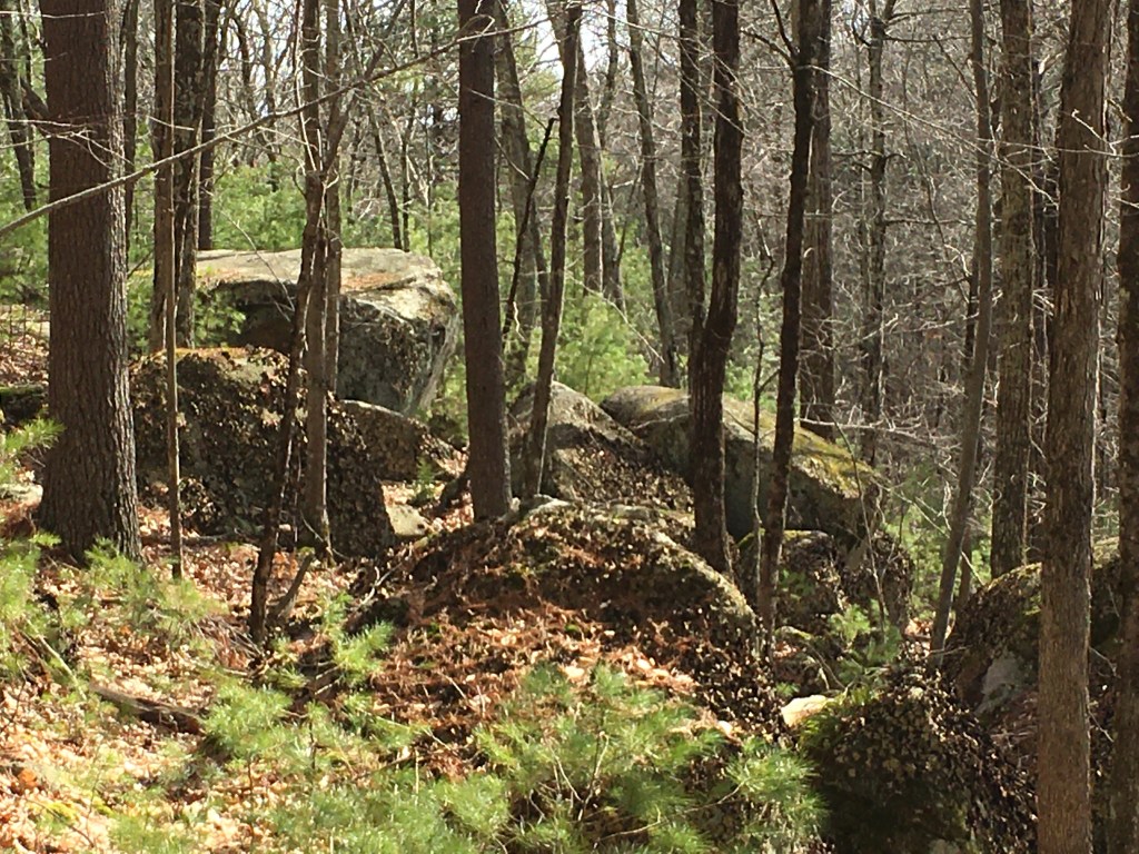
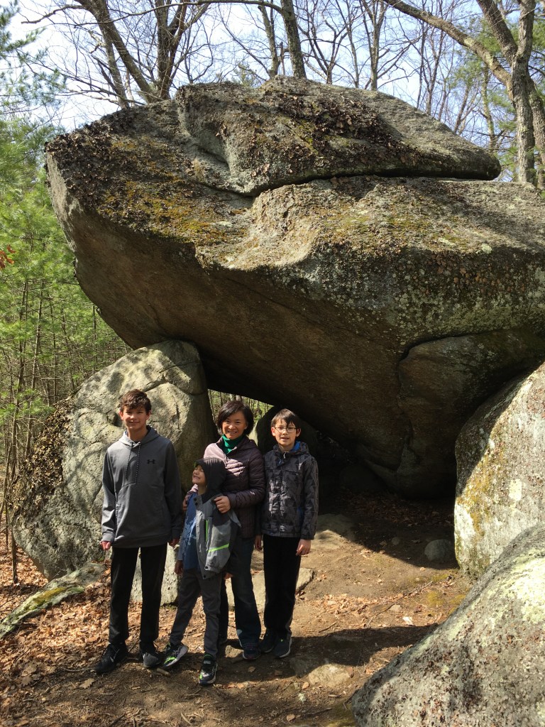
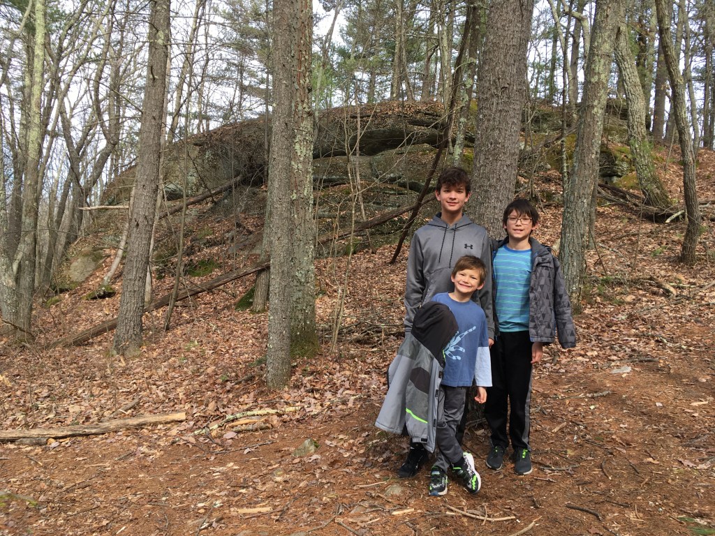
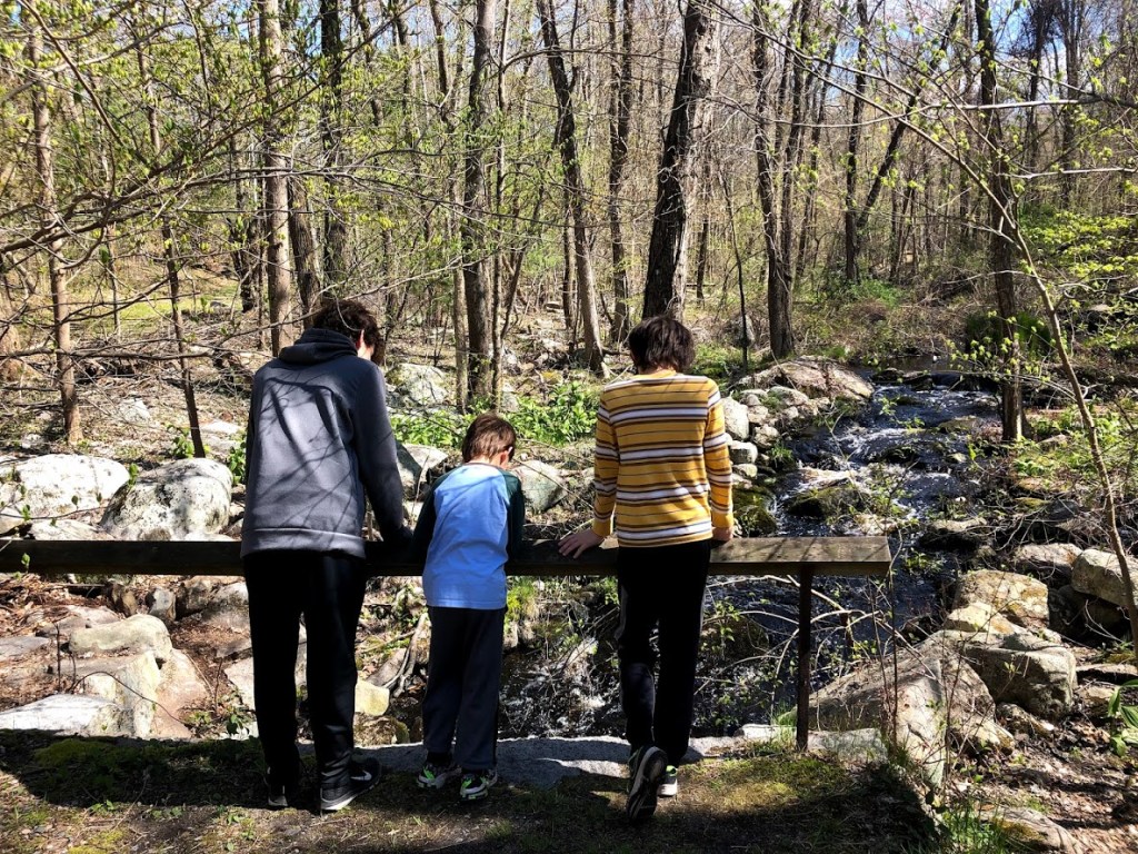
Some parts of the trail were strewn with large boulders and running brooks with clear water. This area was refreshing and the current was suprisingly swift.

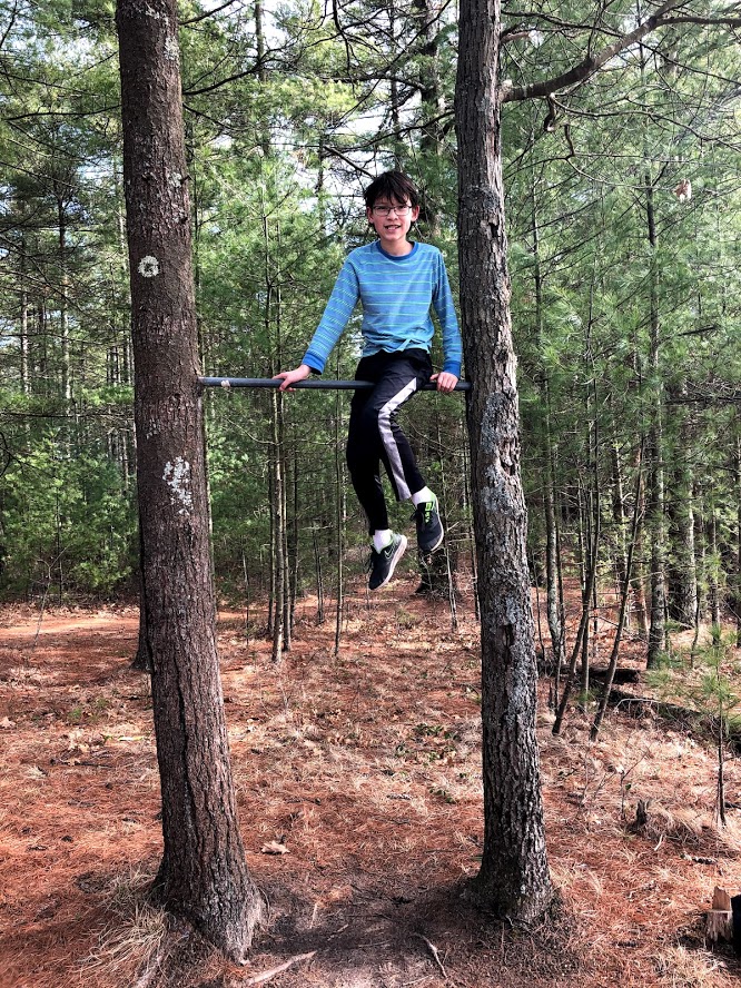
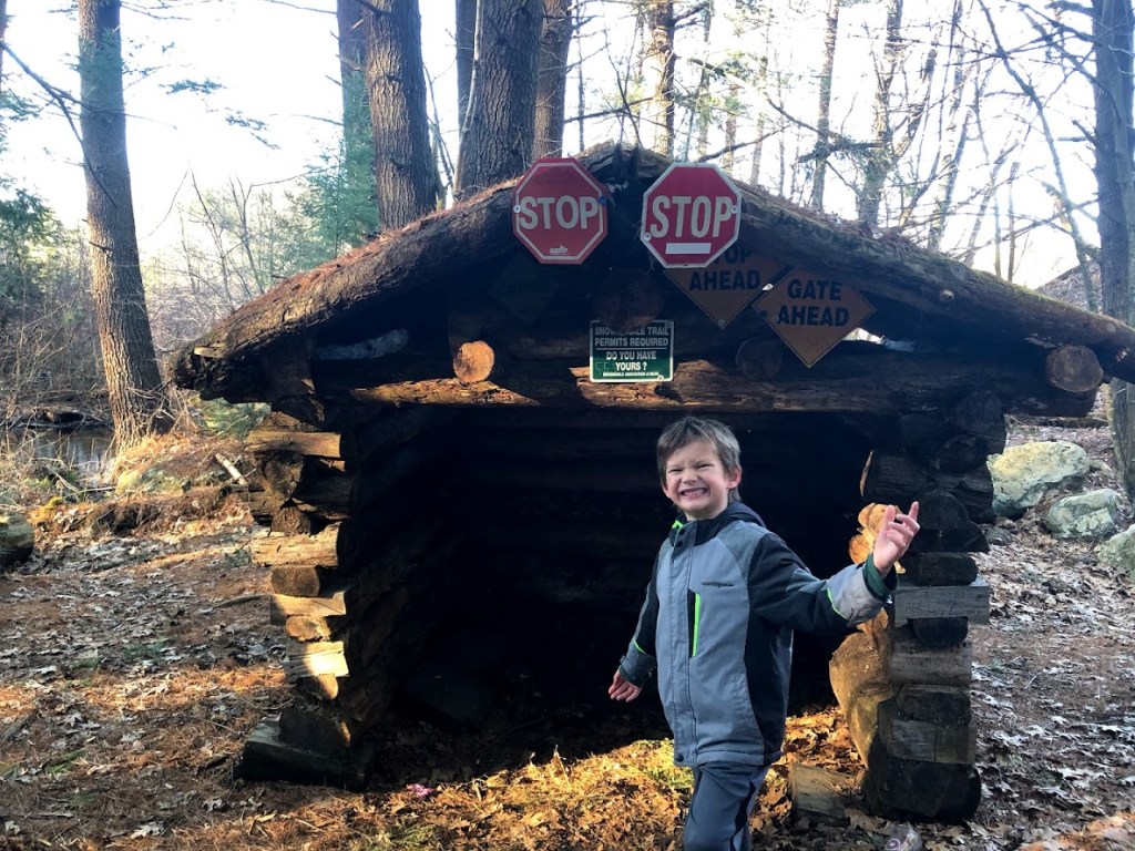
Starting on a trail toward the visitor center, we found a cool obstacle course that was designed for mountain bikers. In fact, we came across a web of mountain bike trails and riders just beyond this point.

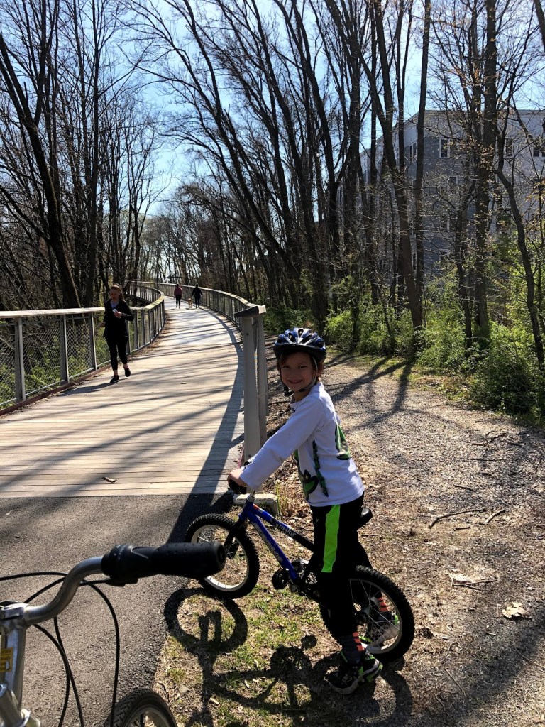
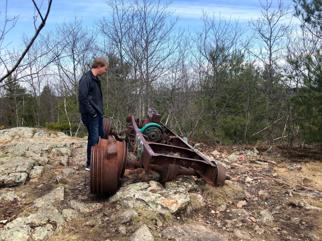
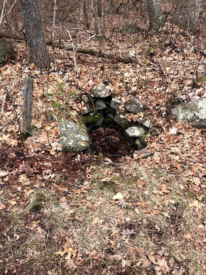
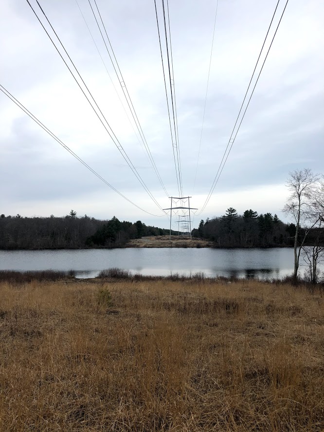
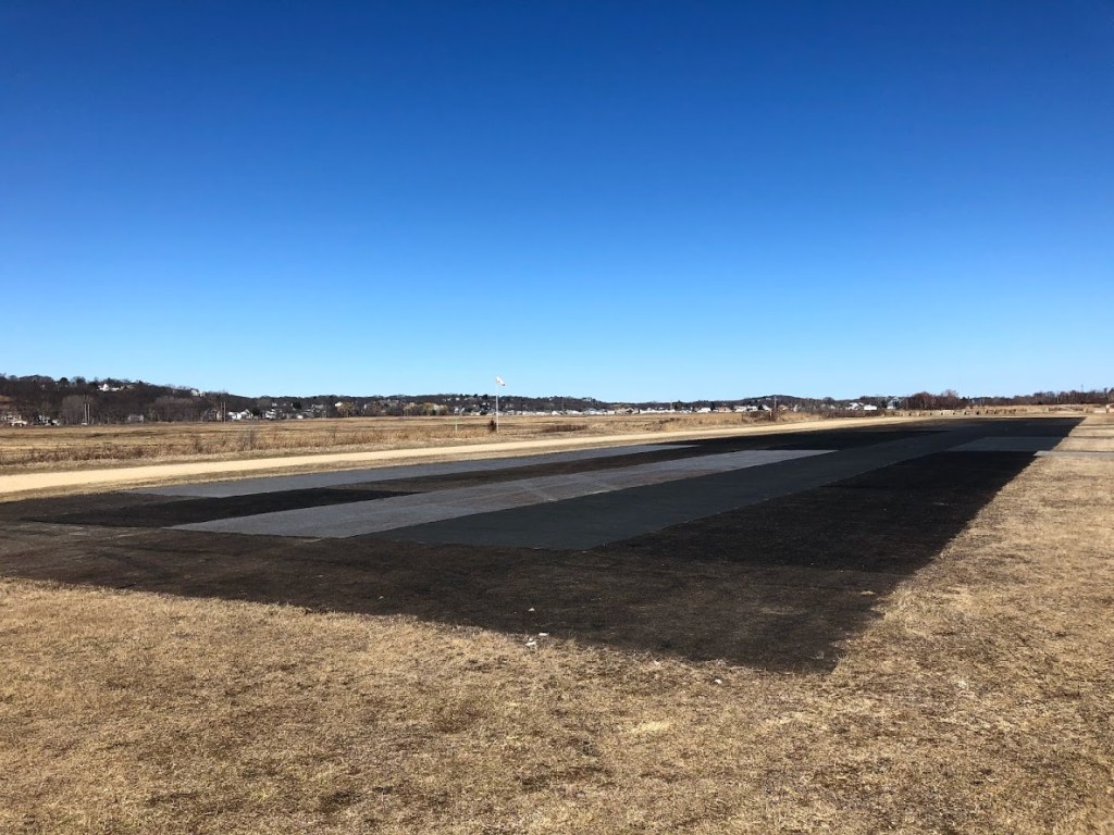
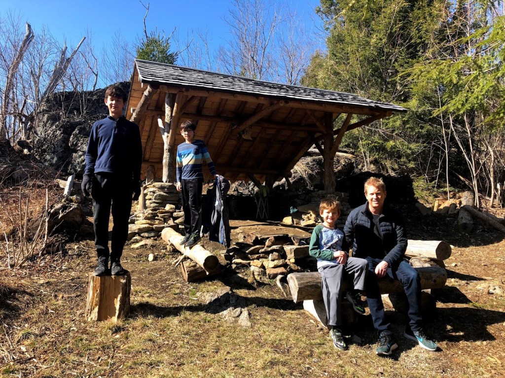
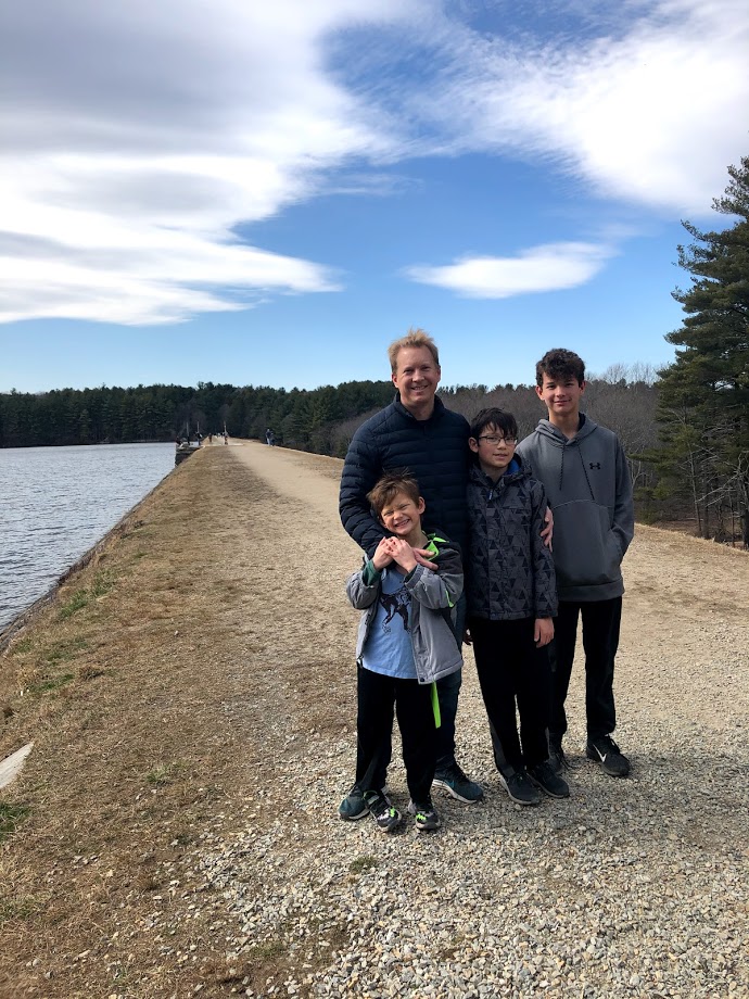
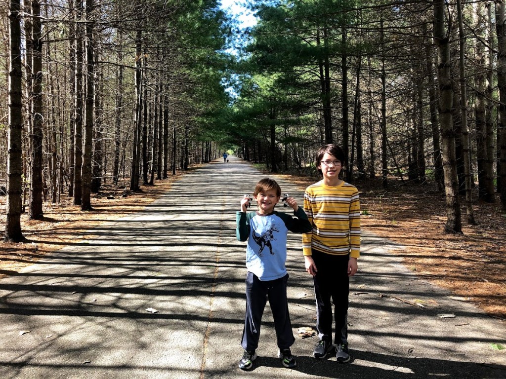
Eventually, we emerged onto a peaceful stretch of paved roads that are closed to motorized vehicles. Surprisingly, there were just a handful of walkers and almost no bicyclists. The interesting thing here is that the road is lined with military structures from the time when this was the Hingham Naval Ammunition Depot Annex.

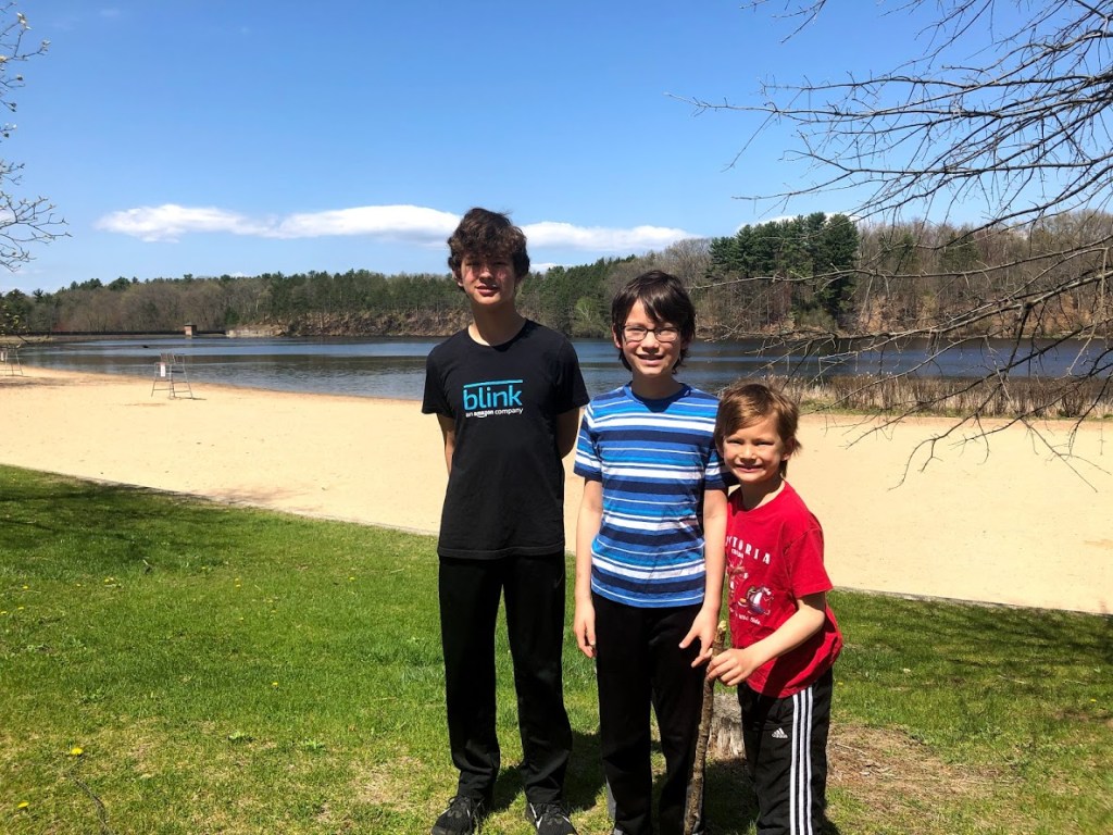
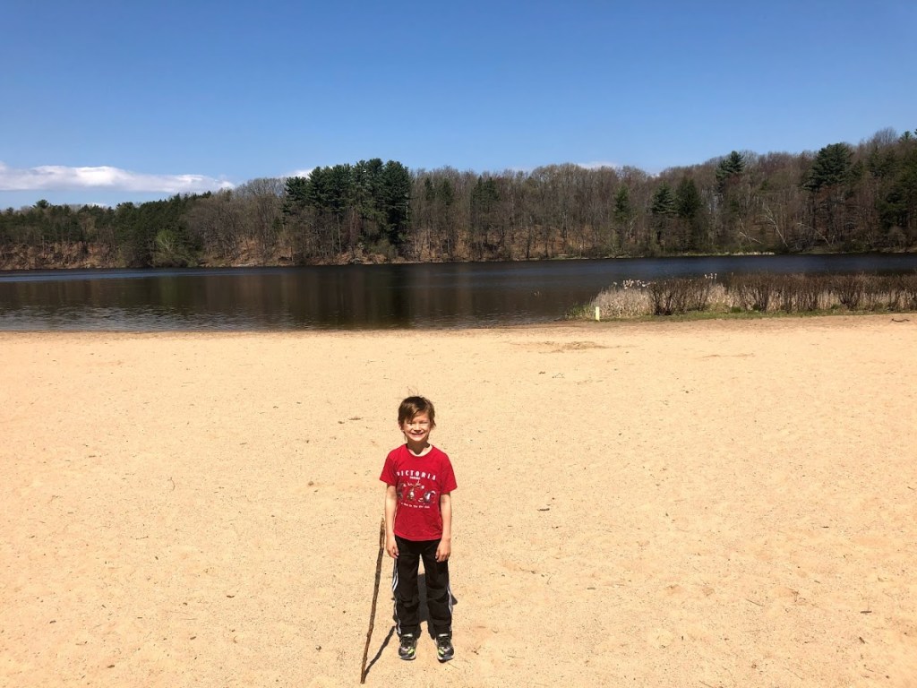
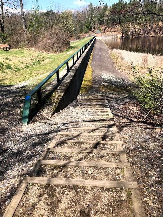
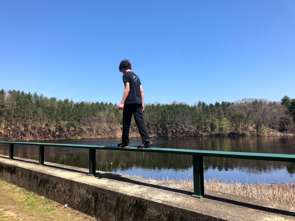
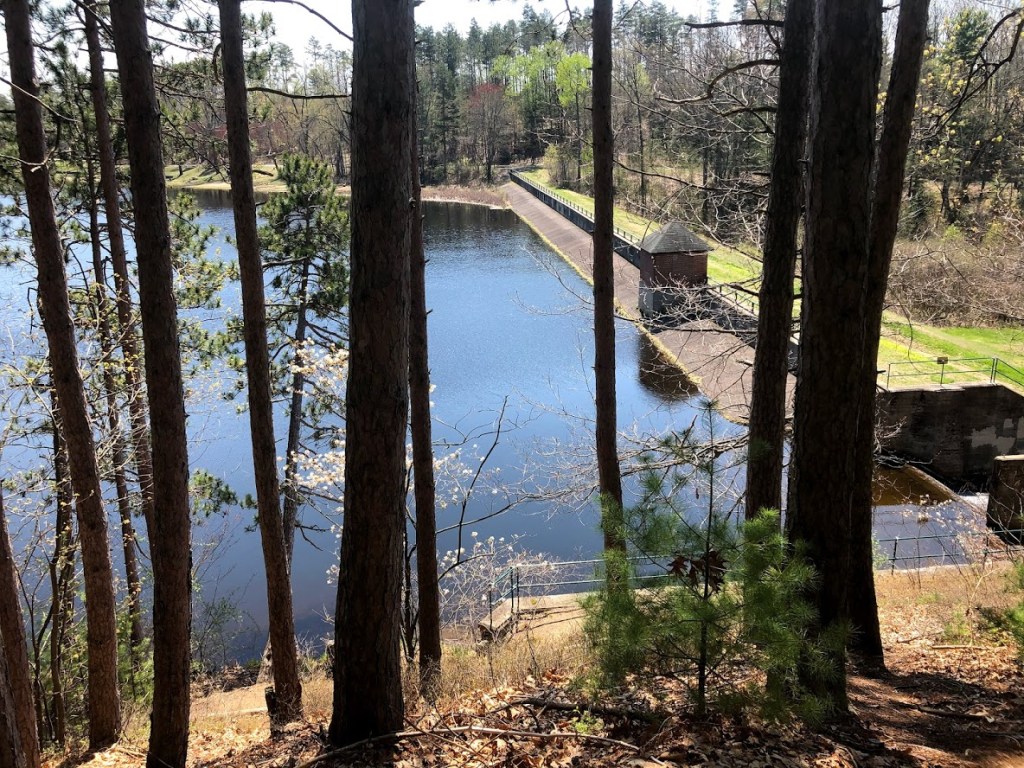
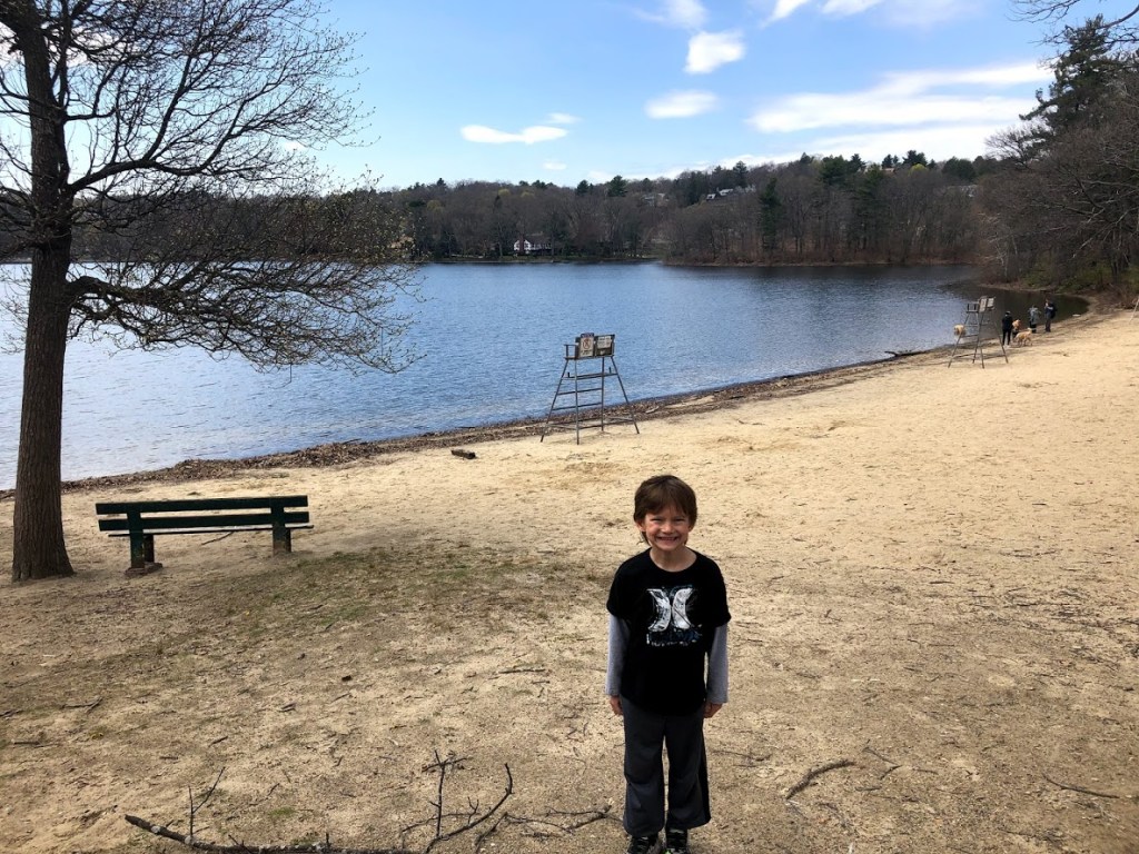
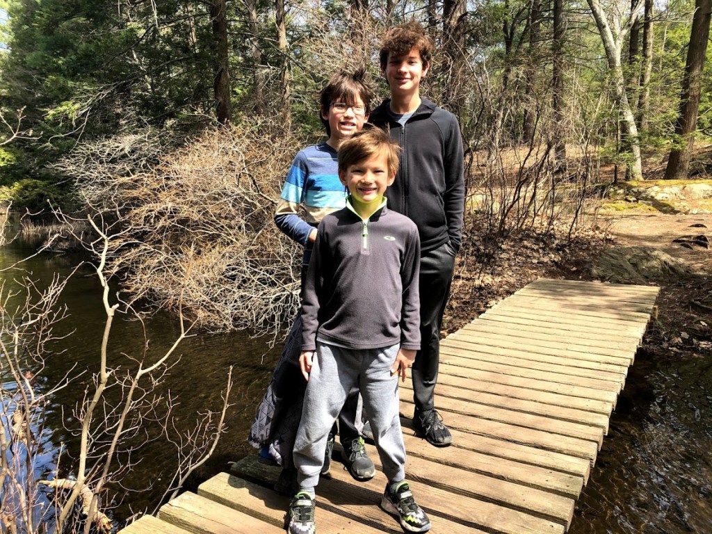
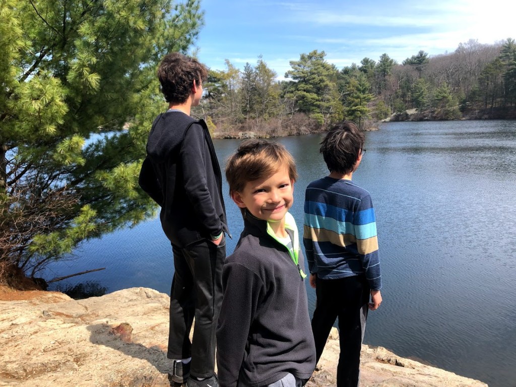
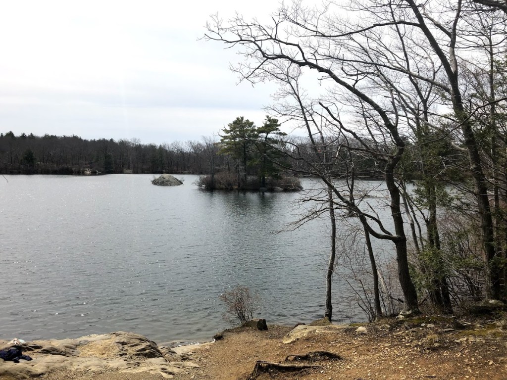
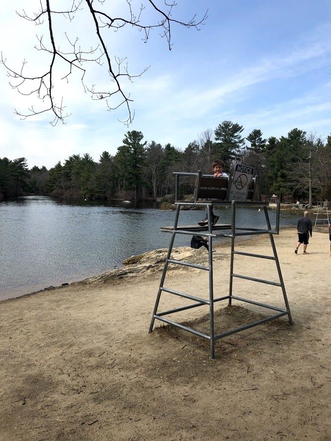
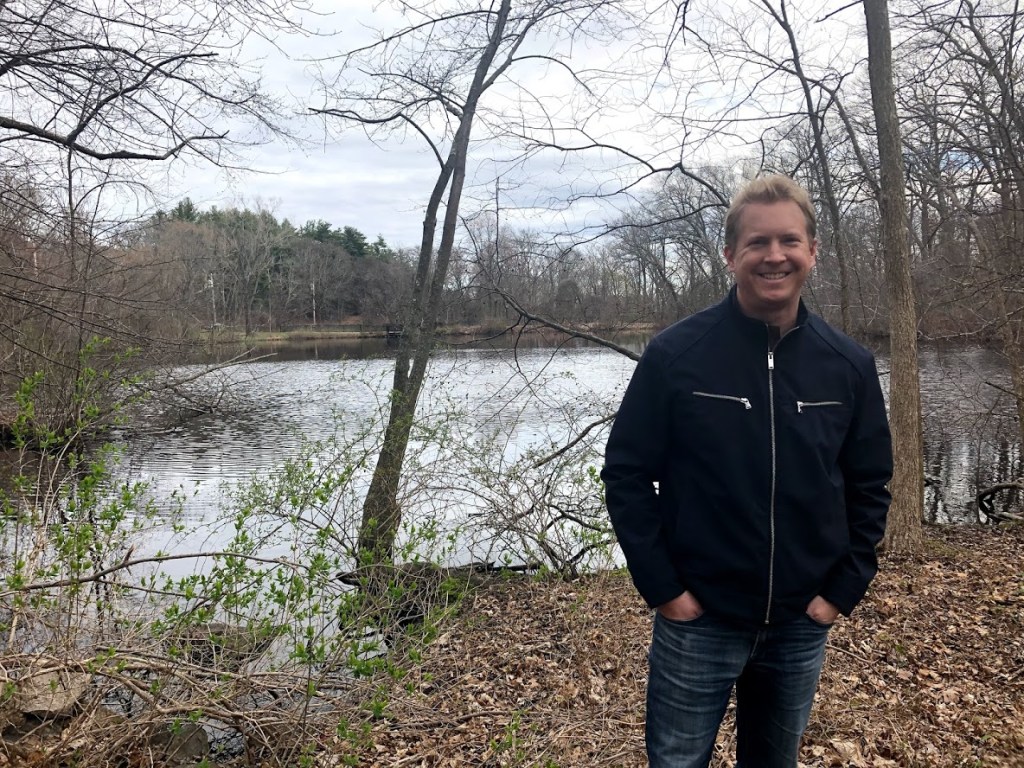
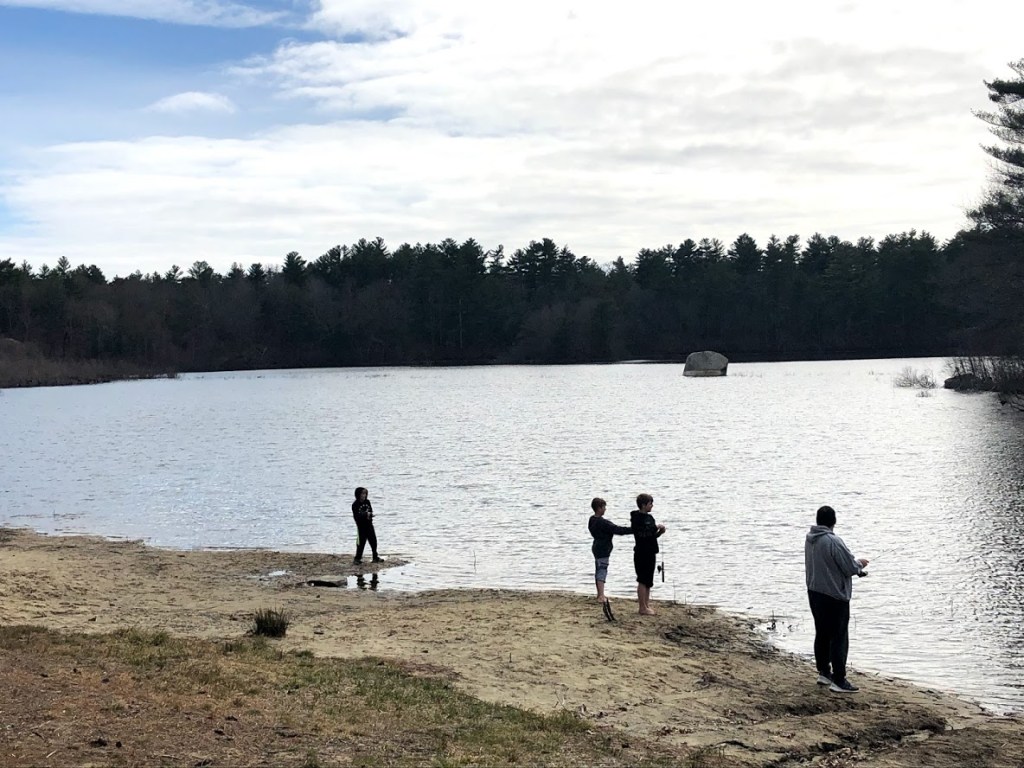
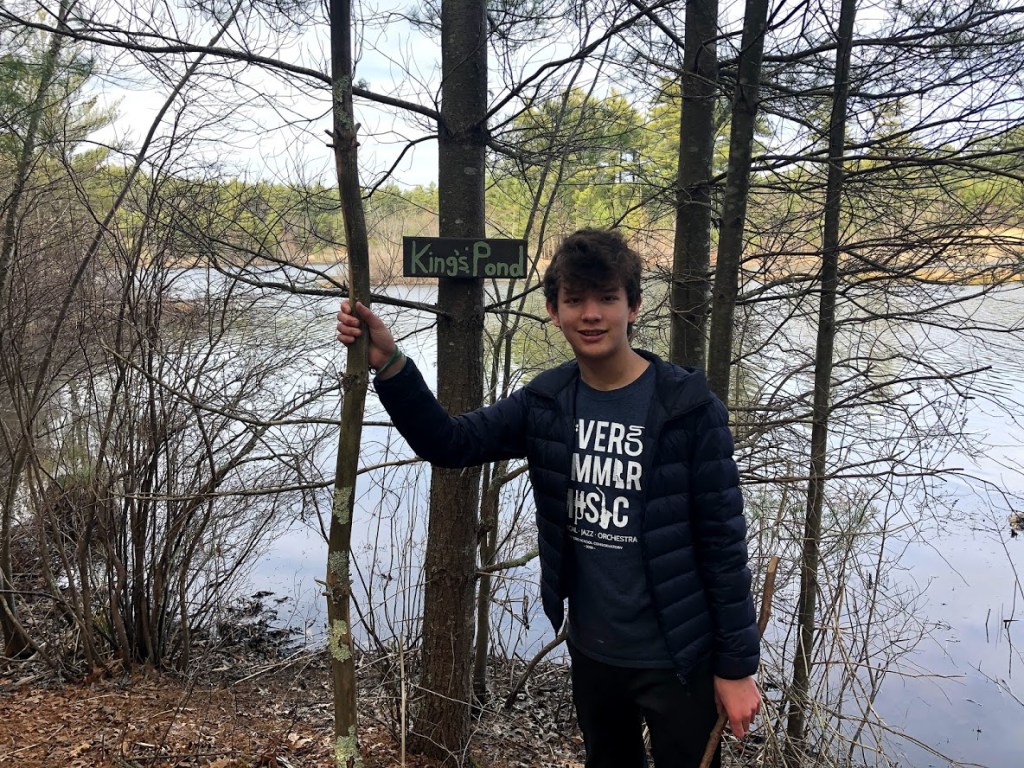
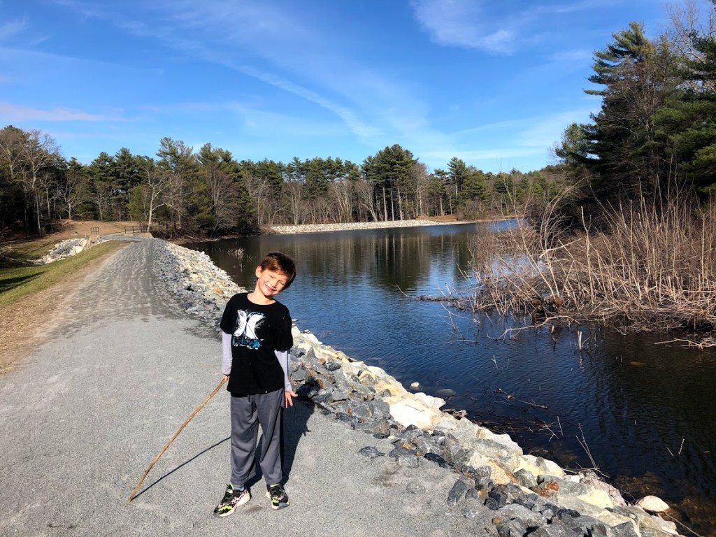
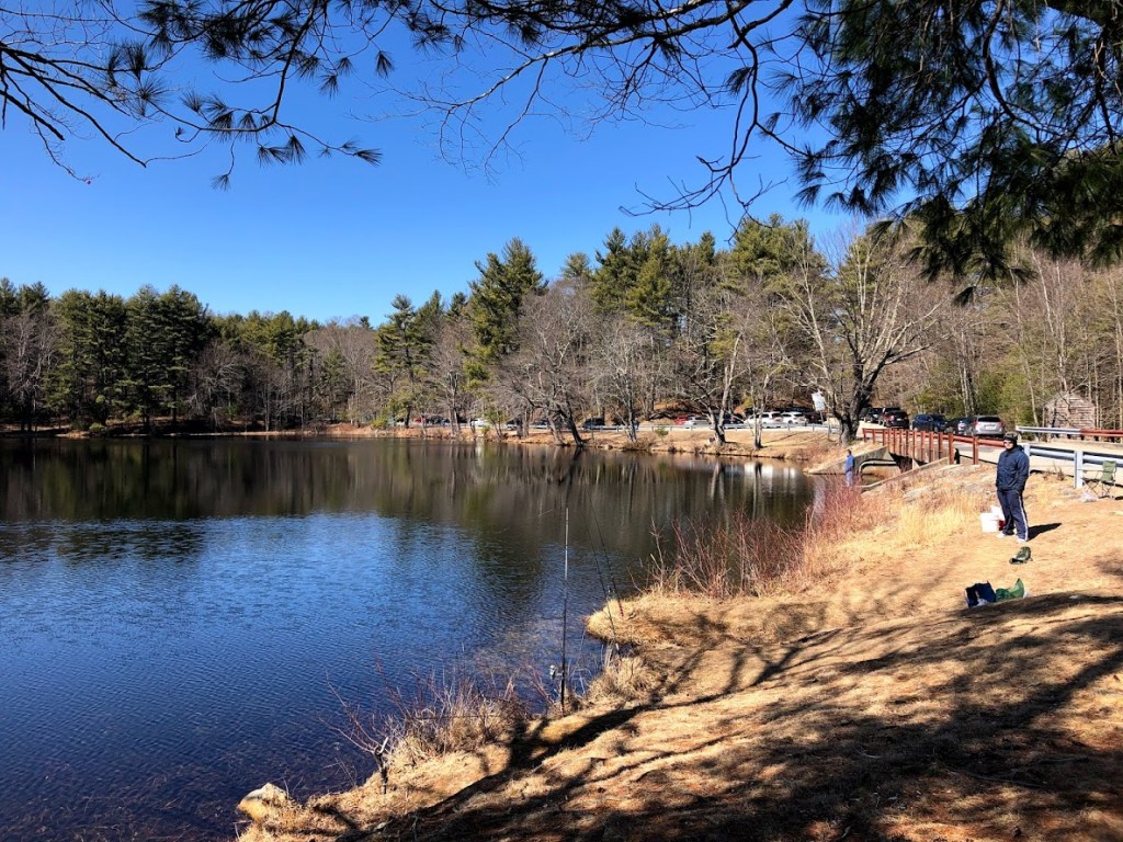
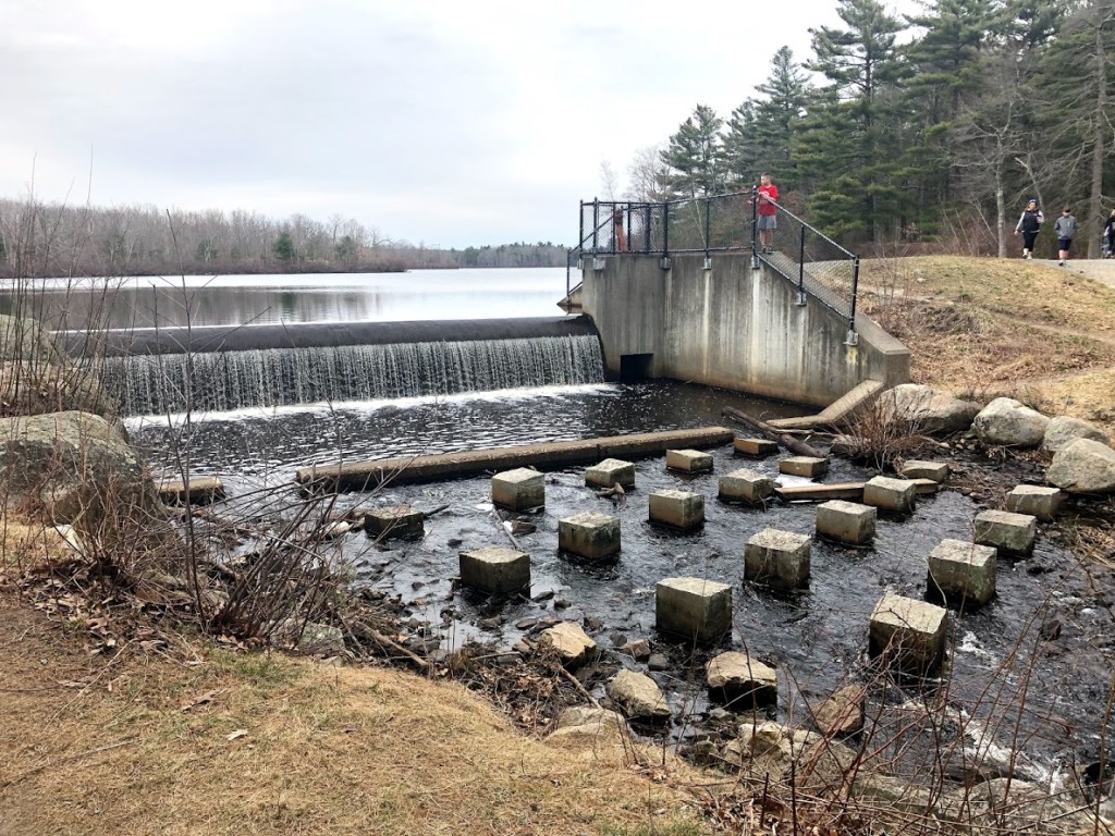
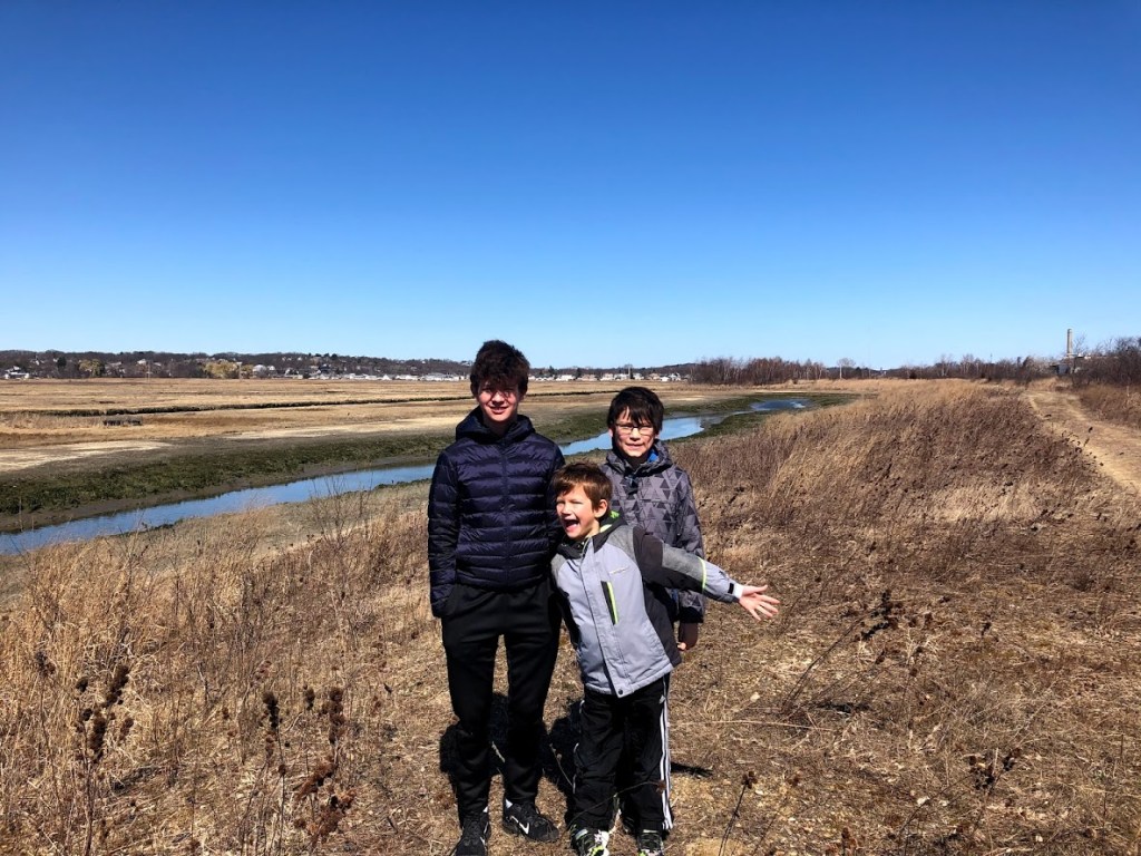
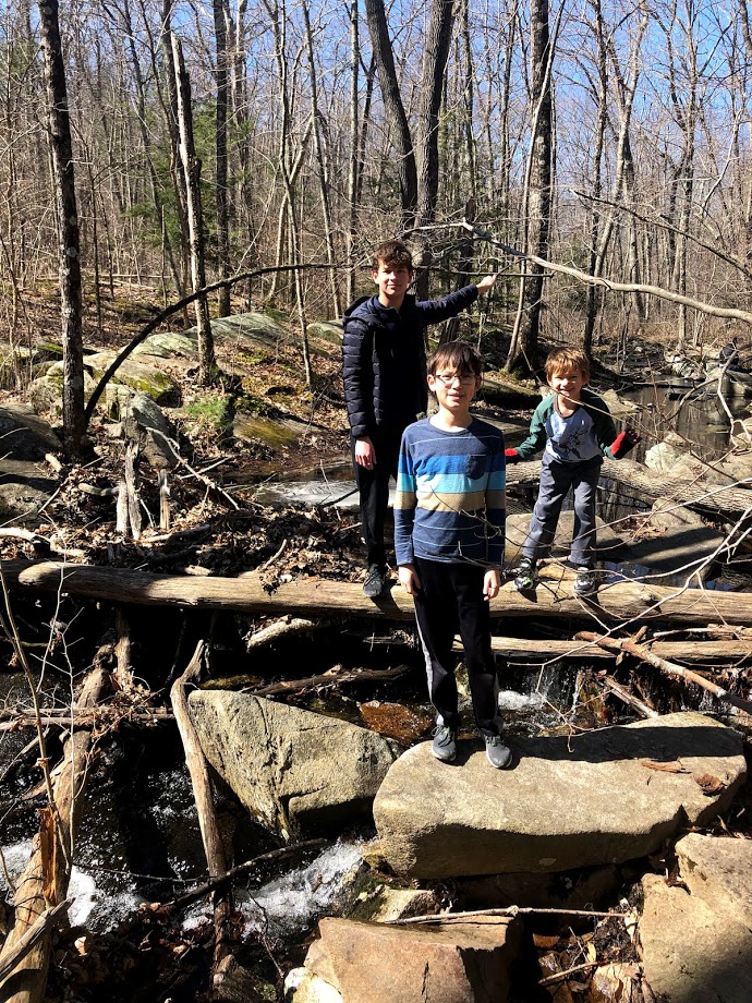
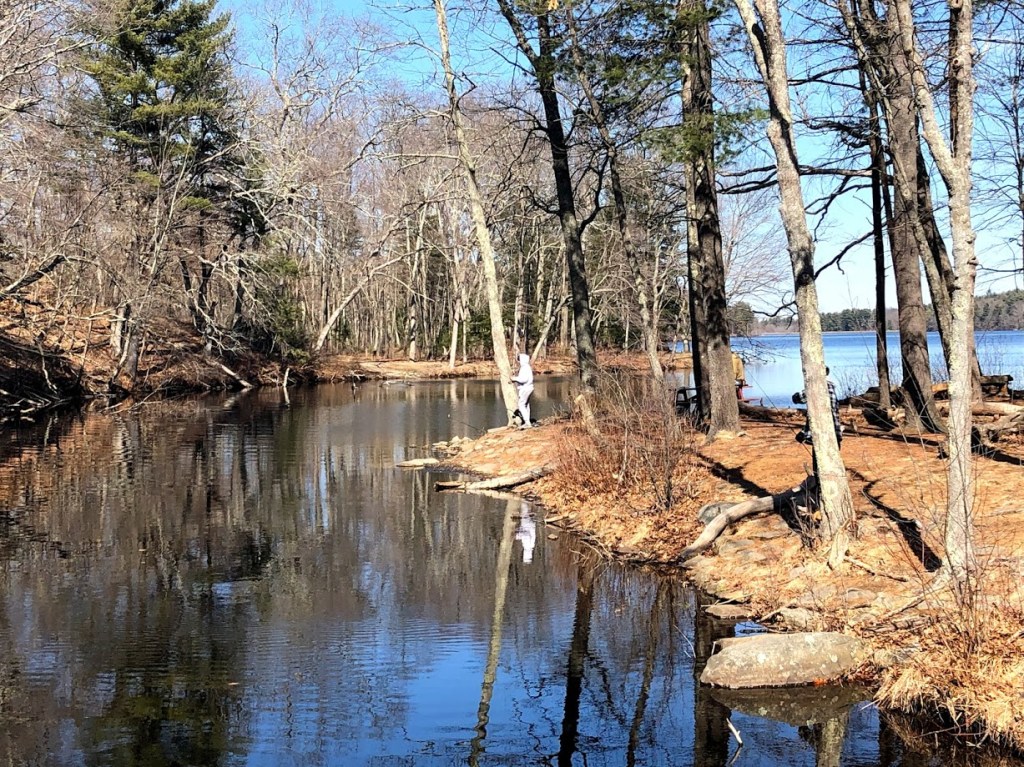
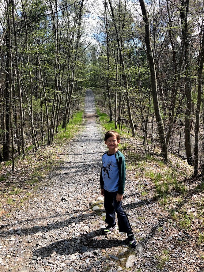
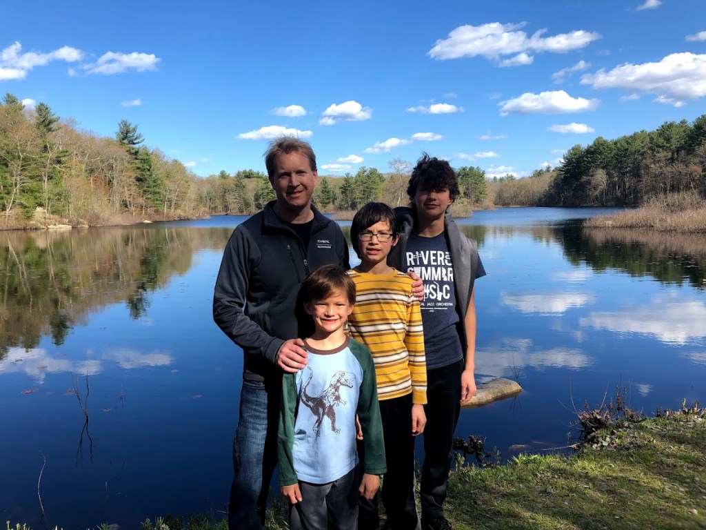
Continuing along the paved trail, we turned on a trail that followed some abandoned railroad tracks. Suddenly we came to our goal, Triphammer Pond, following the loop trail.

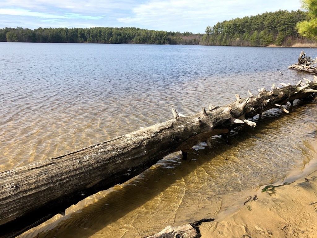
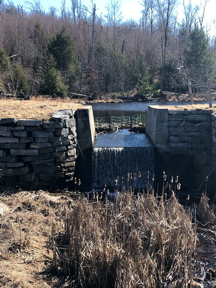
Plenty of people were on this trail and some of them fishing from the dam on this side of the pond. It was beautiful in the late afternoon sun.

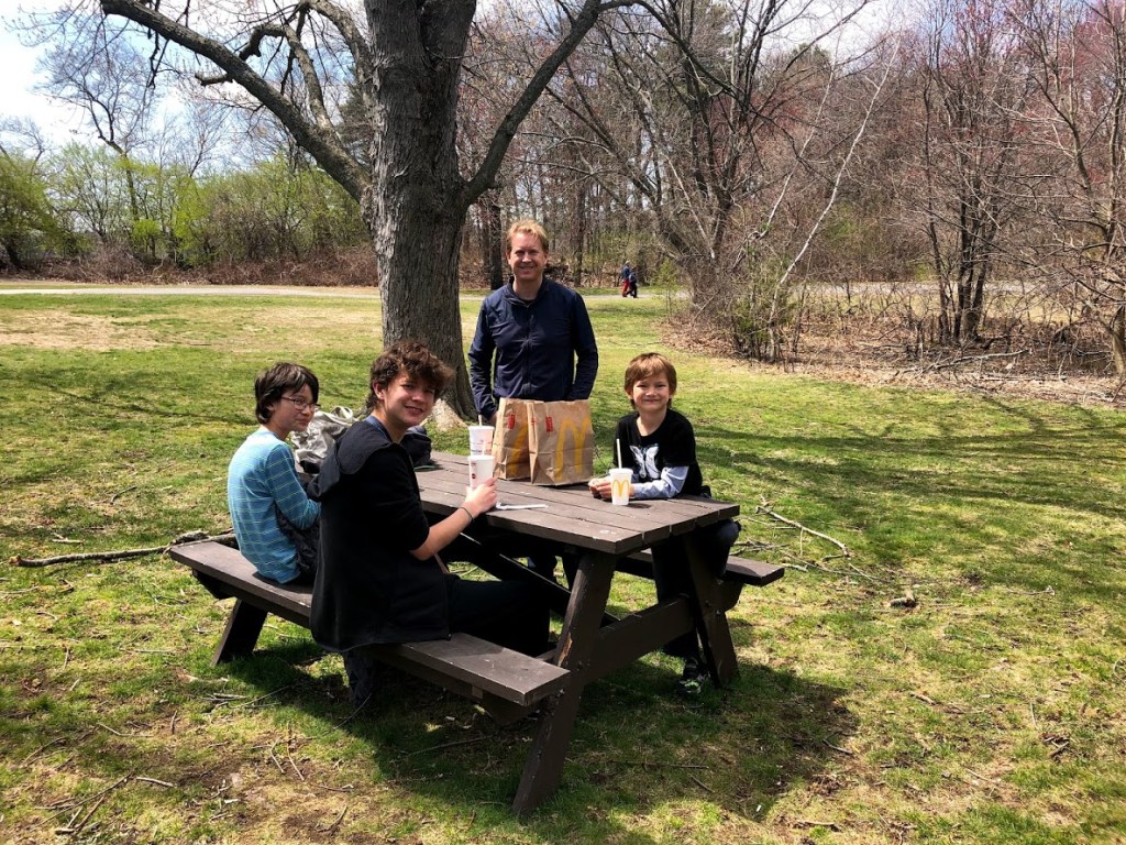
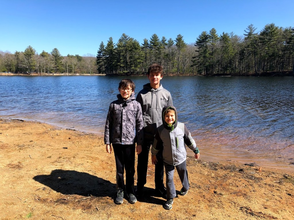
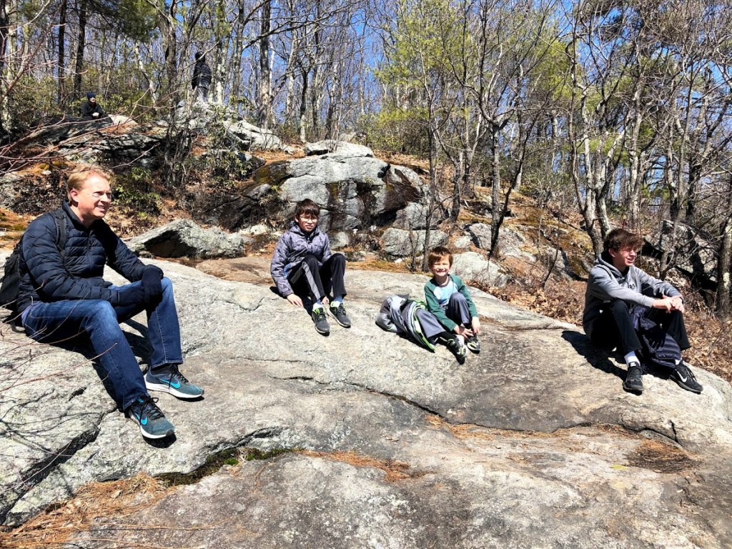
From here it was a quick walk back to the visitor center.

  • The forest had some wild parts, but the rusty relics from the past military use cast a shadow in my view. However, the flat and wide bicycle paths looked ideal for younger riders.
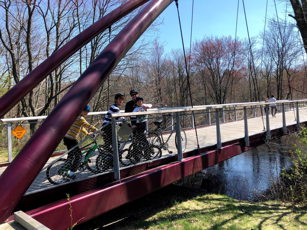
  • A variety of landscape, best enjoyed on bikes.
  • Lake. Forest. Path. It feels like I’ve been here before.
  • It was just another forest along a lake. Okay.
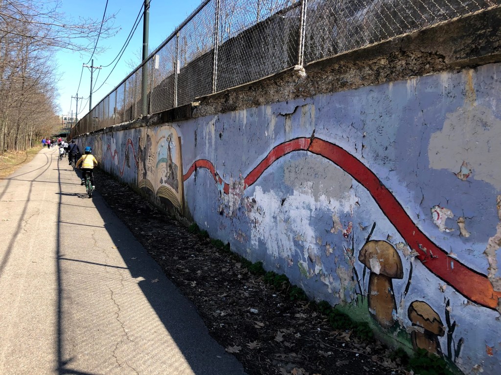
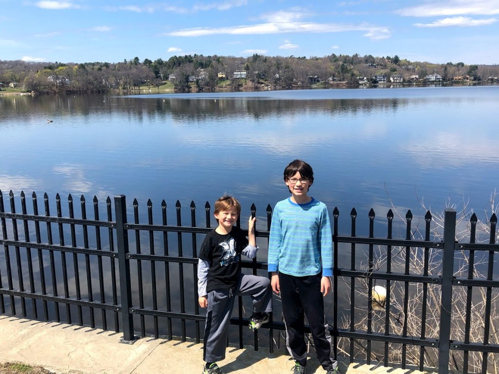
  • I liked throwing the rocks through the fence. And there were sign about Wompatuck.

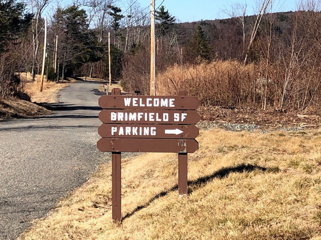
For more information: Wompatuck State Park official site

Robinson State Park

May 3, 2020 Sunny

This state park is mainly in Agawam, MA and follows the Westfield River. It has hiking and biking trails, and also a pond with a beach.

We followed a trail that led along the river to explore the main scenery of the park. It turns out that the varied elevations near the river provide for a diverse forest and the park also attracts plenty of migratory birds.

The trail and forest seemed open and sunny, and the paths were smooth.

Soon we reached a path along the river, which was pretty impressive. The Westfield River is very wide and fast flowing. According to Wikipedia, it’s the largest tributary to the Connecticut River, and is known for its whitewater rapids and scenery.

Although the picture looks close to the river, we actually were standing on a high bank. In fact, the path mainly stays about 50 feet or more above the river surface.

We followed a mainly level path through evergreen forests with a view of the river down the bank.

We saw some rhododendrons and small wildflowers as well. The late afternoon sun shining through the bare branches felt great and made the scenery more dramatic.

We also found a lovely little bridge over a small brook.

I think the highlight here was a chance to walk far above a wide and powerful river, and enjoy some varied terrain and scenery. This seemed special to me – usually we’re walking right next to a much smaller river or pond. The change of pace was unexpected and welcome.

  • This park had an interesting variety of terrain and followed along the scenic Westfield River, which had some rapids.
  • There were some good views of Westfield River from the high banks, which was a little different from the usual walk along the river.
  • At this point, all the state parks are starting to blend together…
  • Just a regular forest, bordering a river.
  • We found rocks to paint and the path was foresty and it was a nice walk.

For more information: Robinson State Park official site.

Mount Tom State Reservation

May 3, 2020 Sunny

Mount Tom State Reservation encompasses the Mount Tom Range and is located in the Connecticut River Valley in Holyoke, north of Springfield. The mountain has many trails. We started out on Rt 141 (Northampton Road), and took a steep but direct route up to the summit.

The trail we took was about 1.2 miles round trip, and we would gain over 600 feet of elevation. So soon after we entered the woods, we began a steep and relentless ascent. The well tread trails were very popular and quite crowded. About half way up the mountain, there were loose rocks on the trail and we had to watch our footing.

We started having great views of the Connecticut River Valley almost immediately.

There were various structures on the peak, including several cell towers and the ruined foundation of a Summit House constructed in 1897 and burned down a few years later.

The views from the peak was expansive. On the day we went, Mount Greylock was visible in the distance. We could see the Summit House on Mount Holyoke, the same one we visited in Skinner State Park. There was a lot of graffiti on the ground all over, and a large star that probably light up at night.

We rested and enjoyed 360-degree views.

The hike was challenging, and we were out of breath almost the whole way. But it was short and the views made it well worth it.

  • I enjoyed this short, rocky trail to a scenic view of central and western Massachusetts, but the radio towers on the mountain top detract somewhat.
  • This was a short steep hike, but very satisfying. Good views at the top.
  • It was pretty funny when some graffiti near the edge of the cliff said to jump and Ryan actually tried it… but otherwise too rocky for my liking.
  • It was very, very steep but the view was good.
  • Very steep pretty sunny also the view was good. And tiring.

For more information: Mount Tom State Reservation official site.

Chicopee Memorial State Park

May 3, 2020 Sunny

This state park is located in Chicopee and is adjacent to the Westover Air Reserve Base. It has reservoirs that were built in the late 1800s and early 1900s, a beach, and various trails, including a paved loop.

We first came to the beach, which was wide and sandy, with a large bathhouse nearby. The water looked clear and inviting, and the scene was very quiet. I noticed a lot of birds in the trees, and a few red-winged blackbirds.

We started along the paved path and soon came to a dam, which the kids enjoyed walking across.

After crossing the dam, we scrambled up a steep dirt path to a viewpoint and started a roughly 2 mile paved loop through the forest.

Much of the trail looked like this and was pretty level. In the background at the right side is a field that’s part of the Westover Air Reserve Base. We could see one large plane parked on the tarmac but no air traffic while we visited.

Continuing around the loop, we returned to the reservoir and beach, and then headed back to the car.

  • This state park is pretty nondescript and probably better enjoyed for mountain biking or cycling on the paved path.
  • A quick walk on a paved trail, and there’s some views, but nothing special.
  • Nothing special. Literally a path around a lake, like 90% of the other state parks.
  • I guess the lake was kind of cool but that’s all.
  • Hot and clear nice beach pretty fun. I found a few rocks and sticks.

For more information: Chicopee Memorial State Park official page.

Lower Neponset River Trail

April 19, 2020 Sunny

The Lower Neponset River Trail follows the path of a former railroad bed along the shore of the Neponset River. The trail stretches from the historic Port Norfolk neighborhood in Dorchester, through Pope John Paul II Park, across Granite Avenue through the Neponset Marshes, and through the Lower Mills area to Central Avenue in Milton. We actually walked part of this trail when we visited Neponset River Reservation last year, but this time we brought our bikes.

We started near the end of the trail at Mattapan T Station. Very soon we crossed the Harvest River Bridge.

After crossing the bridge, the trail was flanked by the narrow Neponset River the left and the right was grassland. This short section was relatively natural and peaceful. We then came to the historic Port Norfolk neighborhood in Dorchester, where one side of the trail were old mills and historic markers, and the other side was the T Red Line. There were also quite a few pedestrian crossings.

There were interesting murals all along the trail. Soon we reached the Neponset Marshes. The views were expansive. We could see boats and people fishing. The other side was the Cedar Grove Cemetery.

After crossing Granite Ave, we rode past a spray park that is part of the Neponset River Reservation, then Pope John Paul II Park. The end of the trail was at Joseph Finnegan Park, and the views from the small landing were awesome.

The entire trail was quite short and easy, and was very popular. At different times the trail was almost crowded. It had a lot of variety as it went through some some urban areas and short stretches of peace and quiet. This trail can be combined with stops at different historic sites and playgrounds.

  • This is a good, flat urban ride, past industrial areas but also more natural areas.
  • This is a short bike trail, good for little kids. Can be busy.
  • The best part was that we had already done this before, which is proof that we’re redoing state parks.
  • There was a lot of bridges along the river to cross.
  • There were 3 tunnels in the whole park. We also biked, which was really fast.

For more information: Lower Neponset River Trail official site

Mystic Lakes State Park

April 25, 2020 Sunny

This state park in Winchester consists of two lakes that flow south into the Mystic River.

We parked along Upper Mystic Lake and started our roughly 3 mile walk from the Shannon Memorial Beach, after enjoying a quality meal from McDonald’s.

The trail heads south with the lake on one side and the Mystic Valley Parkway on the other. While there’s a paved path for joggers and bikers along the road, we mainly hugged the shore on the dirt trail.

The views were unexpectedly pretty looking west toward Winchester, with calm, clear water, and rolling hills dotted with fresh green leaves on the trees.

About halfway through the walk, we came to the Medford Boat Club, and paused to admire the views of both lakes from the dam.

Continuing along the lake we found a small wooded peninsula where we stopped to notice the narrowing lake flowing south into the Mystic River.

From there, we turned back and followed the Mystic Valley Parkway back to the car.

While the walk is easy and quick, the scenery was surprisingly pretty for an urban location.

  • I thought the views across the lake were pretty. It was also nice that you can either take the paved path or follow right along the shoreline for much of the walk.
  • This lake is surprisingly pretty.
  • I’m bored of being bored because being bored is boring and this hour-and-a-half walk next to a normal lake didn’t help.
  • It was just a regular walk near a pond. Boring.
  • There was 2 ponds and a bridge and we walked for an hour and a half. The next thing I have to say is that we ate McDonald’s food there!!!!

For more information: Mystic Lakes State Park official site.

Breakheart Reservation

April 12, 2020 Cloudy

This reservation in Saugus and Wakefield consists of hardwood forests, two lakes, walking trails, and a hill with a good view of the Boston skyline. It also has a roughly 2 mile paved loop for walking or biking.

We parked at the vocational school on the Wakefield (northern) side of the reservation and headed for Pearce Lake. The trail was mainly pines and other evergreen trees, and was littered with many downed trees, such as the one below. This made the forest seem more messy or wild than we expected.

The kids found a great old tree to practice their balance on.

The walk followed along the western side of Pearce Lake, which had a striking blue color and a small rocky island in the middle.

Continuing to the other side of the lake, we went up a short hill away from the lake and found some stone works that the kids crossed. Just above this was a neat underpass for the paved bike loop, which led us to the Upper Pond of the reservation.

Continuing along the shore we found a few resting areas from which you could watch for wildlife. On our visit we saw a number of ducks, geese, and other birds sunning themselves.

At this point we decided to take the short side trail up to the top of Breakheart Hill, which was well worth the easy climb. There were some clear views of the Boston skyline (where you can easily spot the Prudential and the Hancock buildings). At the far right, with the curved profile, is the recently opened Encore Boston Harbor casino.

There was also, strange to see, the remains of an old car (?) sitting on the rocky hilltop. Some later investigation on Google appears to support the idea that this was a sort of home-made tractor from the WWII era that’s based on a 1920’s truck chassis. But the unusual thing is that there are no roads visible nearby and the path to the top seems pretty rough.

After descending, we followed along Pearce Lake for a visit to the small but sandy beach, where the kids played for a while. The water looked clean and clear, and beckoned us for a summer visit.

From here, we continued on a paved route back to the parking lot.

  • I enjoyed the ruggedness of Pearce Lake and the inviting beach, as well as the views of Boston.
  • This is a nice walk with a good variety – beach, hilltop with views of Boston, lakes.
  • This place was cool because it was a pretty long walk but it went by really quickly.
  • It was long and you have to hike up a mountain.
  • It was super windy and there was a car at the top of the hill.

For more information: Breakheart Reservation official site.

Beaver Brook Reservation

April 8, 2020 Cloudy

Beaver Brook is a small state reservation on the border of Belmont and Waltham. It was the first reservation created by the Metropolitan Park Commission and was originally designed to protect a stand of old oaks known as the Waverly Oaks.

We visited the northern section that consists mainly of an historic house, two ponds divided by a dam, and some trails around the ponds. On this trip we didn’t visit the tot lot and the spray park, which are great fun in the summertime.

We started near the historic house and learned that the ponds were originally used to power a “fulling mill” in the 19th century (a step in woollen clothmaking). You can picnic on the edge of the ponds and there were some large stands of forsythia.

In any case, we headed over to check out the dam and were surprised at the strong flow of water over the rocks beneath.

We continued down a trail beneath the dam for a better view.

Miles and I stopped to enjoy our own little Niagara Falls (American Side). It’s not bad for a local waterfall.

But the trail below the dam is not very scenic and the forest is sort of littered with trees and scrub. Much of it looks like this picture below. We followed a straight path south to Trapelo Road, turned back, and crossed this bridge to the other side of the ponds.

After this we continued along the pond edge, passing the dam from which we had descended.

The most northerly pond is adjacent to some houses, so we rounded it and headed back toward the parking lot.

Just before we left the sun peeked out from the clouds, so we played some more on the dam. Under the sunlight, the main pond took on new colors. The tender green of the willow contrasted nicely with the soft blue skies.

Beaver Brook makes for a pleasant picnic spot or quick walk, but the trails are short. The section just south of Trapelo Road, however, is worthwhile as a summer destination for young kids.

  • This small park packs a dam with waterfall, two ponds, and a historic house.
  • A small oasis in an urban area. A short trail around two ponds. Nice place for a stroll if you are in the area.
  • This was a HORRIBLE park. The trees were dead and barren, the ground was icky, there was almost nothing to see.
  • There wasn’t much- just some trees and a pond.
  • There were two bridges. There was a stream and a waterfall, and there were a few ponds.

For more information: Beaver Brook Reservation official site

Watson Pond State Park

April 5, 2020 Sunny

Watson Pond is a small lake in Taunton that is open for swimming and fishing.

From the gated entrance, there is a large picnic area with grills, and a playground with swings and play structures. Beyond the playground is a boat ramp. A pavilion a few more picnic benches by the lake offer great water views.

We had picnic lunch by the lake, and then played on the playground a bit. We followed a small trail around one side of the lake. There is an additional parking lot and a boat ramp to the right of the main entrance, but the trail ends there.

The trail is very short, only about half a mile. There are some good views and the water looks clear. We saw some swans on the lake, and maybe a boat. We didn’t see a beach or signs of life guards. There is a bathroom, but the facilities were closed when we went, so it’s not clear if there’s a changing room.

This is a good place to spend a warm afternoon grilling and hanging out, but not so much hiking.

  • A peaceful spot for a picnic, with a short trail part way around the pond.
  • Quiet and peaceful. Nice place for boating but not much else.
  • We just had lunch here for around 10 min so I don’t understand why we’re already reviewing it.
  • It was very short and it was just a lake but I like short mare than long.
  • We ate there and it wasn’t too long but there was a gate.

For more information: Watson Pond State Park official site

Massasoit State Park

April 5, 2020 Sunny

Massasoit State Park consists of about 1200 acres largely in Taunton, MA. It has 6 interconnected ponds and numerous cranberry bogs.

In fact, when we parked we immediately started on a trail that began near a cranberry bog.

And with good luck, the cranberries were abundant and floating in the bog, as you can see below. We didn’t sample any, but they definitely looked tempting.

Our walk took us along and around several of the six ponds, starting in a lovely pine forest with soft trails.

Soon the trail led, unexpectedly, onto a sandy beach. A few fellow hikers had brought chairs or were otherwise lounging in the sun.

Beyond this we passed through the camp ground and saw a family fishing and an interesting boulder right in the middle of the pond.

A well graded trail linked to the other ponds and had shiny new benches along the way.

Continuing through the woods we found a small tipi and rested for a minute.

Although much of the walk was alongside the water, it also passed by golden marshy areas.

The farthest stretch of the walk continued along King’s Pond.

And we even found a chin-up bar neatly placed between two tall pine trees.

Nearby was a picnic table looking out over the water. The water was extremely clear and striking against the afternoon sun. On a summer day we could easily imagine splashing around here.

The trail then turned and winded for a long time through pine forests, some with gullies and rolling terrain crisscrossed by mountain bike trails.

Finally we found the wide gravel path connecting several of the ponds and then returned the same way to the car.

The whole family enjoyed this park, both for the novelty of the cranberry bogs and also for the peaceful atmosphere of the pine forests and ponds under the springtime sun.

  • It was cool to see a real cranberry bog and enjoy the sunny and serene ponds.
  • A large variety of sceneries – bog, dam, lake, woods.
  • This was actually so long that it can be compared to the Boston Marathon.
  • It was super long but the cranberry bog was cool.
  • It was super duper duper duper duper long and I threw some cranberries into the bog.

For more information: Massasoit State Park official site

F. Gilbert Hills State Forest

April 5, 2020 Sunny

F. Gilbert Hills is a pine and oak forest located in Foxboro and Wrentham.

We parked on the southern side of the park at the Main Entrance for a roughly 2.5 mile walk. As we entered the forest we noticed some boxes up in the trees and thought they might be for birds. But they are actually bat boxes, something we had never seen before.

We also noticed the forest was littered with boulders.

We followed a wide and easy trail through the woods called the Wolf Meadow path. Throughout the park, trail intersections were clearly marked.

Besides the forest roads, there are also small stone structures like this “watering hole” that probably date from the Great Depression era in the 1930s, when the CCC (Civilian Conservation Corps) was actively working on projects.

Much of the forest here is filled with boulders as this scene shows.

There are also several small ponds that were very peaceful.

Along one of the roads we found a hollowed out tree with a little arrangement of toys.

The highlight of our walk was reaching the High Rocks area, where we scrambled on and through a field of large boulders.

This state park made for a pleasant walk but the wide dirt road along the ponds was muddy at points.

  • The highlight here was the field of huge boulders.
  • It was boring until Ryan slipped in the mud because Jonathan, his walking stick, tripped him.
  • There were lots of rocks and boulders to climb on.
  • There was super rocks and boulders and there was also super much moss.

For more information: F. Gilbert Hills State Forest official site

Rutland State Park

March 22, 2020 Sunny

Rutland State Park consists of two ponds – Whitehall Pond and Long Pond. The two ponds are divided by the Midstate Trail. This park is a popular destination for fishing, boating, swimming, and picnicking.

When we visited, the park was closed (this is during the Covid-19 quarantine period), but a lot of people parked on the side of the road and walked in.

From the entrance, Whitehall Pond is on the left beyond a small wooded picnic area, and beyond the picnic benches there’s a beach with changing facilities.

Since the weather was chilly, we didn’t see any swimmers, but many people fishing and enjoying the sun. We walked partly along the beach and partly around the pond, and saw more picnic spots.

We consulted our GPS, and saw a trail around Whitehall Pond past all the picnic areas. The trail was narrow but easy and mostly flat. We had a lot of opportunities to see the pond, which didn’t seem super clear or pristine. There seemed to be a lot of debris in the water.

We saw evidence of beavers and the kids tried to help a beaver to fell a tree.

The trail was pretty short and unimpressive. Overall, this is a park that’s best enjoyed swimming and picnicking in the summer days.

  • A short walk around a lake. Pleasant surroundings, picnic spots, and a small beach.
  • It was an easy walk around a lake. Nothing too special.
  • I was glad it wasn’t too long because they all start to blend into each other after a while. Like one will have forest and the next will have forest and lake and then forest and mountain and then forest and river and they all seem the same.
  • Just another walk around a lake.
  • There was a three-legged dog at the end and we were walking around the super-long lake.

For more information: Rutland State Park official site

Ames Nowell State Park

March 28, 2020 Cloudy

This park consists of 700 acres in Abington, in southeastern Massachusetts. The main attraction here is Cleveland Pond and hiking trails along the shore.

We started our walk from the main parking area, which takes you immediately to the pond, with a small pier and a large dam. We had decided to loop around the pond, roughly 3 miles in total, heading west first.

The area near the dam and the first part of the loop trail were packed the day we came, mainly with families with children.

Along the shore in just the first minute, there was a huge boulder that the kids scrambled up.

The walk then continued on a boardwalk as it hugged the shore.

The trail then led into a more forested area that was filled with interesting boulders, alone or sometimes in small piles.

There were several sections that were a bit muddy, but fortunately some of these had boardwalks.

Part way around the pond you pass a strip of land with powerlines, which detracts from the generally peaceful and pristine views. We continued along the shore, heading toward the opposite side.

Although much of the trail was ordinary, some parts of the shore brought a surprise, such as the little boardwalk through an Atlantic white cedar swamp.

Soon after this point, the trail became quite muddy as it entered a wetland area on the northern side of Cleveland Pond. Several times we got lost and at one point found ourselves walking on an old stone wall and carefully jumping around as we tried to pick up the trail again.

Eventually we found our way out of this area and back onto the main path after several dead ends. Many thanks to Apple maps and GPS for pointing us in the right general direction.

Miles enjoyed peering into a little cave we found along the way.

We also came upon a simple teepee and fire pit along the trail.

And then once more the terrain turned swampy as we neared the northernmost part of the walk.

Turning a corner, we stumbled upon an unexpected site – two old gravestones near the base of a tree. One of these belongs to a Joseph Richards Jr. (1727-1785), who was a veteran of both the French and Indian War and the Revolutionary War. The other gravestone was crumbled and illegible.

The trail then turned south and crossed a few brooks, one of which had a makeshift bridge with a helpful guide rope to steady us.

We found a few large boulders along the shore as we returned toward the main entrance. This one had been a cookout spot.

Much of the pond loop had pretty ordinary views. The generally muddy nature of the walk and the confusing wetlands (where we lost the trail for about 15 minutes) made us feel a bit sour about this park. We suggest coming at a drier time of the year and considering visiting only part of the loop.

  • The trail was difficult to follow at times, but had a few interesting features like Atlantic white cedar swamps and colonial-era gravestones.
  • There are parts that were very muddy and we lost the trail completely.
  • Not only was it long, but it was also muddy and thorny. The only highlight was when I got to go the way I wanted instead of just the generic way.
  • It was very muddy and long so not very good.
  • it was super muddy.and it was 4 miles.

For more information: Ames Nowell State Park official site.

Rumney Marsh Reservation

March 21, 2020 Sunny

Rumney Marsh is a 600 acre salt marsh in Saugus. It offers a short trail, bird watching, and fishing.

We parked just off Route 107 on the eastern side of the marsh, went past a closed gate, and started our walk on a wide gravel path. The striking part was the contrast of the gold of the marsh and the blue of the sky.

We soon came upon an open area that looked like a landing strip for planes. And it was – but a runway for radio control airplanes, used by a local flying club. There was a small shed and a number of picnic tables on the side for viewing the races.

We continued past the airstrip and walked north along the main trail through the park. In the distance across the marsh, you can see some houses, so this is not an “wild” and remote area.

After a brief section with thin birch trees, the view opens up, and you feel closer to the water.

The last stretch of the marsh seemed drier than we expected, partly because the main marsh is beyond the trees, but also likely due to the lack of rain we’ve experienced recently. The trail ends at a nice parking lot on the north side at Ballard Street. Most of the walkers (many with leashed dogs) came from that entrance to the trails.

Turning around, we returned along the same path, this time with the wind at our backs.

For a short walk, the marsh is a nice change of pace from a forest or meadow. But the presence of road noise and various man-made structures on all sides detracts from the experience.

  • The marshland had no real color and all around were industrial buildings or houses in the distance. We had hoped for a more serene walk.
  • The landscape is barren in the winter. It borders an industrial area so the views are not exactly pristine.
  • Wasteland. Marsh. Mud. Dog poop. Repeat. I’d advise you to not visit unless you are REALLY bored.
  • All there was was marsh and wastelands. Pretty boring.
  • It was a wasteland. And we found a bunch of broken benches.

For more information: Rumney Marsh Reservation official site

Leominster State Forest

March 22, 2020 Sunny

Leominster State Forest is a publicly owned forest that has several small ponds, numerous hiking trails, and also the Crow Hill ledges. We used the Crow Hill parking lot off of Route 31 for a short hike to the top of the ledges.

The trail enters the woods and starts a gradual ascent, passing by a stone wall.

Pretty soon the base of the ledges comes into view and it’s an impressive site, even from a distance.

We headed slightly to the left, where a trail lets you safely scramble to the top. The kids really enjoyed finding their own route upwards.

At the top, the trail turned sharply right and passed several viewpoints. The first was partially obscured by trees.

Continuing along the top of the ledges (but not too close to the edge!) you come upon a striking view to the southeast and the Crow Hills pond. Although we have seen the Boston skyline from the top of nearby Wachusett, we couldn’t find it here.

Looking toward the southwest you get a clear view of Wachusett Mountain and the ski runs. An interesting note on Wikipedia says that Native American tribes used this area for shelter and also to send smoke signals to neighboring tribes.

In any case, we rested a few minutes to enjoy the vistas and soak up the sun.

Following the trail to the north along the ledge provides other views of the ponds below. If you’re afraid of heights you will want to stay back from the edge.

At this point we followed a rocky trail with some helpfully placed rock steps to the base of the ledge.

From the base the cliffs towered above, slick in spots and with an icicle in others, even at this late time in spring.

Miles and I are looking at the carved names of hikers who came before us, some from the 1800s. Farther along we found a few hikers with gear who were planning to rock climb along the cliffs.

At this point we followed the trail back to the car and headed to the Crow Hills Pond to find a sunny spot for lunch before our next state park!

We all enjoyed this short hike for the variety and scenery packed into a small area.

  • We enjoyed scrambling up the rocks to the Crow Hills Ledges and returning along the base. A short hike with a few interesting views of the park and ponds.
  • The climbing was great fun and it’s a short trail, so there’s no boredom for the kids.
  • It was funny when Ryan slipped on the rocks and almost fell off the cliff, but other than that, pretty uninteresting.
  • It was fun climbing on the rocky cliff and the trail was short.
  • The rocks were fun to climb on and there was a cliff.

For more information: Leominster State Forest official site

Spencer State Forest

March 15, 2020 Sunny

Spencer State Forest consists of several separate parcels, and Howe Pond is the most popular parcel.

Howe Pond was the estate of the Elias Howe, the inventor of the sewing machine. The Howe family of Spencer was a family of prominent inventors. William Howe developed a wooden truss bridge which was named after him; his brother, Tyler Howe, patented a spring bed. Their nephew, Elias Howe Jr., invented the sewing machine.

The Howe family also built the dam and a mill, and near the parking area, this plaque marks the location of the estate. There is also a small beach and some picnic benches along the pond, but there are no changing rooms or other facilities.

We first walked across the parking area into the woods. There is trail along the stream that flows from the pond. The trail was flat and wide. The soft light of the late afternoon sun was filtered through the leaves and reflected on the water, and it felt very tranquil.

We came across a snowmobile shed and a wooden bench for resting. The shed belongs to the Spencer Snowbirds, who also maintains the trails and a bridge across the mouth of the stream.

This bridge was a fun challenge for the kids. However, the trail reaches an end after the bridge, so we turned around, crossed the parking area back to the dam and the beach, and tried to walk around the pond.

The trail only goes as far as another, bigger, dam, on the pond. The pond was absolutely beautiful in the evening. We only saw a few parties in the whole park. This park is a gem.

  • A short walk along a river, but interesting for the pond, the dam, and the historical site.
  • It’s a beautiful and peaceful walk along a calm river.
  • Everybody: Wear your jacket, its 40°. Ryan: i’M nOt CoLd.
  • This comment is not true ↑↑↑ but it was fun to jump across the rivers.
  • I liked when we jumped over the river.

For more information: Spencer State Forest official site

Purgatory Chasm State Reservation

March 15, 2020 Sunny

In the spring and summer, the Chasm is usually much colder than the surrounding areas, and in March there could still be snow and ice. But we came on a warm day.

We’ve been here several times before. There is a visitor’s center, but it was closed that day. On the right of the visitor’s center, there is a playing field, a play structure, and picnic benches. On the left across the road, is the chasm entrance and other hiking paths such as Charley’s Loop Trail.

We hiked down to the Chasm. Officially it’s called the Chasm Loop Trail. It is 1/4-mile long and about 70-foot deep narrow stretch of boulders and caves. There’s a lot of scrambling over and under rocks. The marked trail through the chasm is the easiest way, but the kids always wanted to do something more daring.

Along the Chasm Loop Trail, there are descriptive names for some of the rock features, such as Lover’s Leap and Devil’s Pulpit.

After all the scrambling, we followed a sign to the “Little Purgatory”. This is a trail along the Purgatory Brook, and there are boulders and rocks on the banks that’s also fun to scramble. The kids enjoyed the exciting game of crossing the brook on logs. Other kids were doing this too, and we saw some kid fell into the brook and got completely soaked.

After the Little Purgatory, we went back along the other side of the Chasm Loop Trail, and came upon Fat Man’s Misery. This is where a large boulder had split and there’s a path in the middle. On one side there’s a steep cliff when the path emerges, and some people had fallen in the past, so we only let the kids go one way.

But they really liked this because it’s so exciting, and they went a couple of times.

There’s a similar but smaller one called Devil’s Corncrib, which is not as dangerous but also fun.

Overall, this was a bit hit with the boys.

  • The chasm is really amazing and a gem of a park.
  • This is always a favorite of us. Scrambling over rocks and squeezing in caves.
  • Everybody gangsta till some boy starts “swimming” in the river with all his clothes on (that’s what Ryan thought).
  • The chasm was cool to climb in and out of.
  • There was so much rocks and I like climbing on rocks. There was river and there was logs that went from one side to the other and we got to climb on it.

For more information: Purgatory Chasm State Reservation official site

Brimfield State Forest

March 15, 2020 Sunny

This state park is in Brimfield (home of the famous antique fair), and has 20 miles of trails for hiking and horseback riding, as well as several ponds.

The trail starts next to a small pond that has a stone dam, which was built after the Great Depression as part of the CCC (Civilian Conservation Corps) projects.

We decided to take a short (about 2 mile) trail out and back, leading up the hill you see in the background.

We immediately noticed the masses of downed trees and dead trees sticking up, as well as the presence of many younger trees about the same age. It was unlike other healthier forests we had seen.

It turns out that a 1/2 mile wide tornado came through this area in June 2011, causing a huge amount of property damage and killing 3 people. That was the reason for all of the destruction and uprooted trees littering the forest.

In any case, although there is no clear peak view, you can survey the other surrounding mountains from several points on the trail.

There’s also a neat lean-to at the top, with a giant boulder that you can scramble on to look around.

This walk, although not beautiful, was memorable for the reminder of the devastation that a tornado can bring. And that the forest will always recover and flourish as time goes by.

  • The tornado in 2011 caused a lot of damage, which is kind of depressing even after all these years.
  • The landscape was desolate and there’s no view.
  • There wasn’t anyone here which wasn’t much of a surprise since it was the most BORING HIKE EVER with NO GOOD VIEWS and HORSE POOP on the trail.
  • This is the one that the tornado apparently went through and all the trees are broken.
  • There was horse poop at the start and the tornado went through it.

For more information: Brimfield State Forest official site

Upton State Forest

March 14, 2020 Sunny

This state forest, which is primarily in Upton, is listed on the National Register of Historic Places. It contains the last CCC (Civilian Conservation Corps) camp in Massachusetts.

We decided to do the short hike called the Whistling Cave Trail. After a brief walk on a logging road past the main trail gate, we turned right and started to climb gently.

We stopped near a small pond when we heard what we thought was a huge flock of birds squawking nearby. It turned out to be the sounds of thousands of frogs croaking.

The trail soon branched to the left and down a rocky path. It bottomed out in an area that had been dammed by beavers and was kind of flooded, but we managed to cross on some rocks and logs to continue the hike.

We soon came to two very large boulders, which we thought formed the Whistling Cave, so we explored them for a minute or two and then continued. We were kind of disappointed in thinking that this was all we came for, but we were wrong about that.

Continuing along, we walked past a boulder strewn area with more in a small valley below us where a small stream flowed.

And then we came to the star attraction, the “Whistling Cave”, which was actually pretty impressive. It’s a huge boulder that’s piled on 2 others and really does form a cave with a short tunnel to the backside.

The trail soon met up with a wide road heading back to our starting point. From time to time, we came upon the remains of old cellars, some of which are apparently from 17th century settlers in this area.

We soon found a trail that simply said “Mammoth Rock” and thought we should explore a little. We came upon a huge, flat-topped formation in the middle of the forest, and we all went to the top for a look.

Although the view was mainly forested, it provided an interesting perspective across the open forest floor.

At this point, we headed back to rejoin the main trail, but paused to look at a few trees with large holes, clearly created by some kind of animal. From my quick research, it looks like the culprit may be a pileated woodpecker trying to make a nest in the tree or look for insects to eat.

The kids really enjoyed the singing frogs and the variety of terrain here, and the Whistling Cave turned out to be a big hit as well. It’s a very enjoyable walk with a lot to offer.

  • Interesting hike with a boulder-strewn area and the “Whistling Cave” formed by giant boulders.
  • We heard a lot of frogs but didn’t see any. We did see a garter snake. A pretty interesting walk with the boulders and the cave.
  • wwweeeooo wwweeeooo. The tornado siren blared far away. But my parents tried to cover it up. “It’s just frogs.” Malarkey!
  • There was a tornado siren but our parents wanted us to keep walking. You can see that at another state park there were broken trees.
  • There was weird chirping and I thought it was a bird, but it was a frog. I liked the Whistling Cave.

For more information: Upton State Forest official site

Ashland State Park

March 8, 2020 Sunny

This state park consists mainly of the Ashland Reservoir, which served from 1895 until it was turned into a park in 1947.

We parked near the main entrance since the gate was closed for the season. It was a short 10 minute walk to the water. There’s a wide beach with a changing room and some picnic tables. The sand seemed coarse but the water was clear. Several dogs played on the shore and went for a quick dip in the water.

Heading south, we started a roughly 3 mile loop trail around the reservoir. The trail follows right along the water, but is slightly sloped and has many roots.

Looks like this beaver was pretty ambitious to choose such a huge tree!

We passed by a small peninsula with good water views and then to an area used for camping by the scouts.

Soon we reached a popular fishing spot on the opposite side of the reservoir and then started our trip toward the large dam.

Along the way we saw signs of a rope course and zipline above us. These are part of the nearby Warren Conference Center, which offers such activities for corporate and social events.

Eventually we reached the dam and the kids enjoyed running up and down the steep grassy slope.

After a while, we returned via a large picnic area to the main beach, and then along the paved road back to our car.

This state park offers some lovely views of the water, an historic dam, and at 3 miles makes a very manageable walk.

  • The beach is coarse sand, but the picnic area and walk along the dam were scenic.
  • There was a tiny beach and a dam. The rest of the walk was pleasant but unremarkable.
  • After 4 hours of constant walking, we reached the end. My comrades collapsed onto the shore, making a soft thud. Then, my mom’s voice: “We’re halfway there, guys. Keep on moving.” Everything went black.
  • The dam was cool but it was long.
  • I liked the dam.

For more information: Ashland State Park official site.