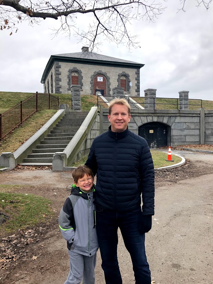
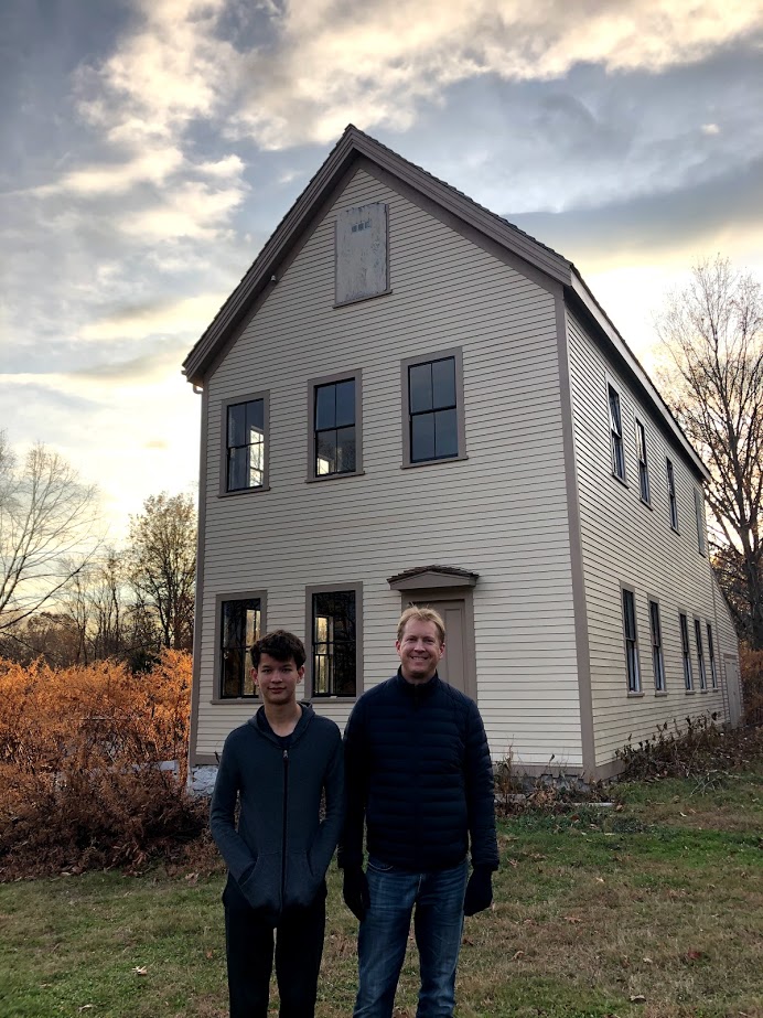
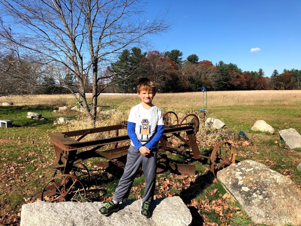
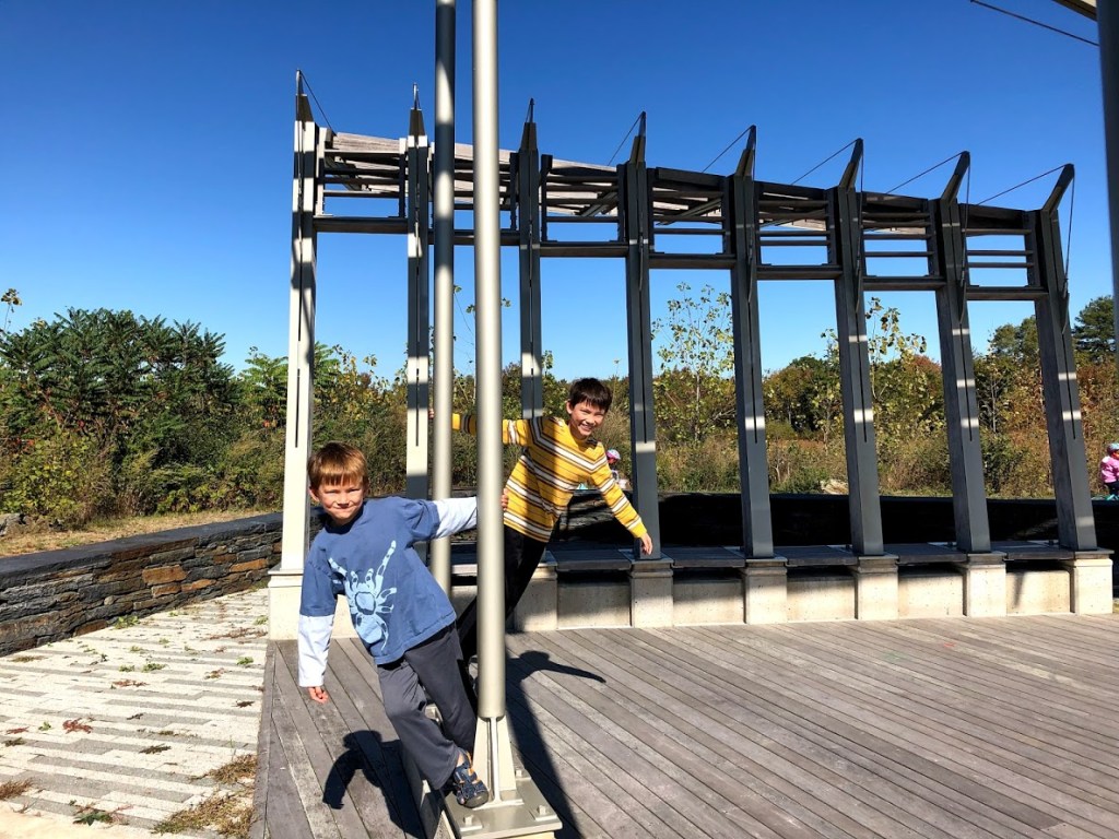
November 30, 2019 Cold
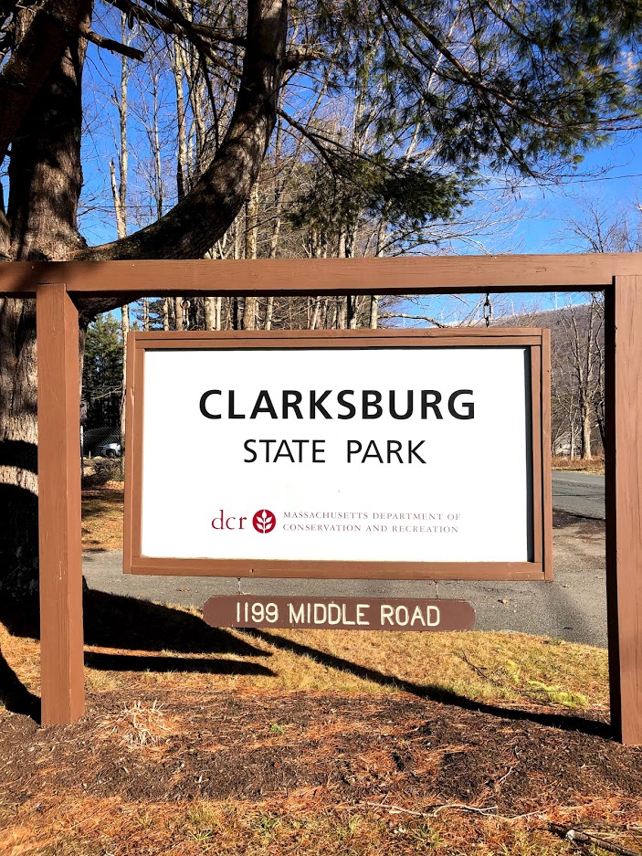
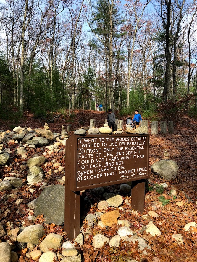
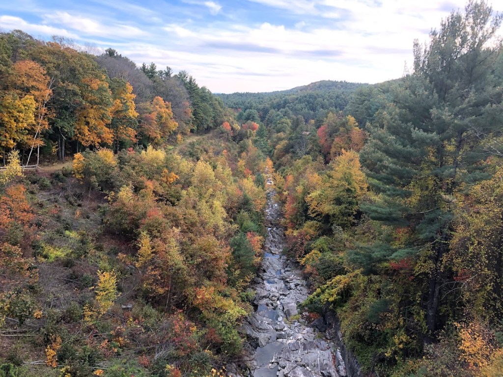
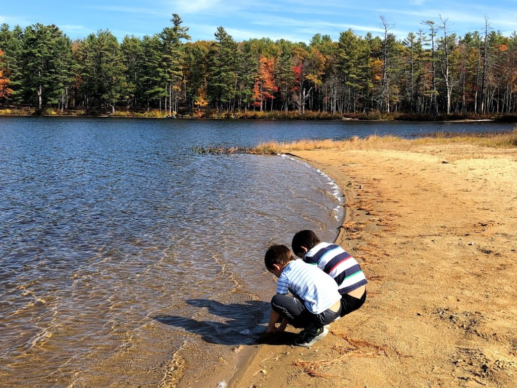
Clarksburg State Park is a 368 acre park located in Clarksburg, MA. It consists of northern hardwood forest surrounding Mauserts Pond. The park also has a campground and picnicking as well.
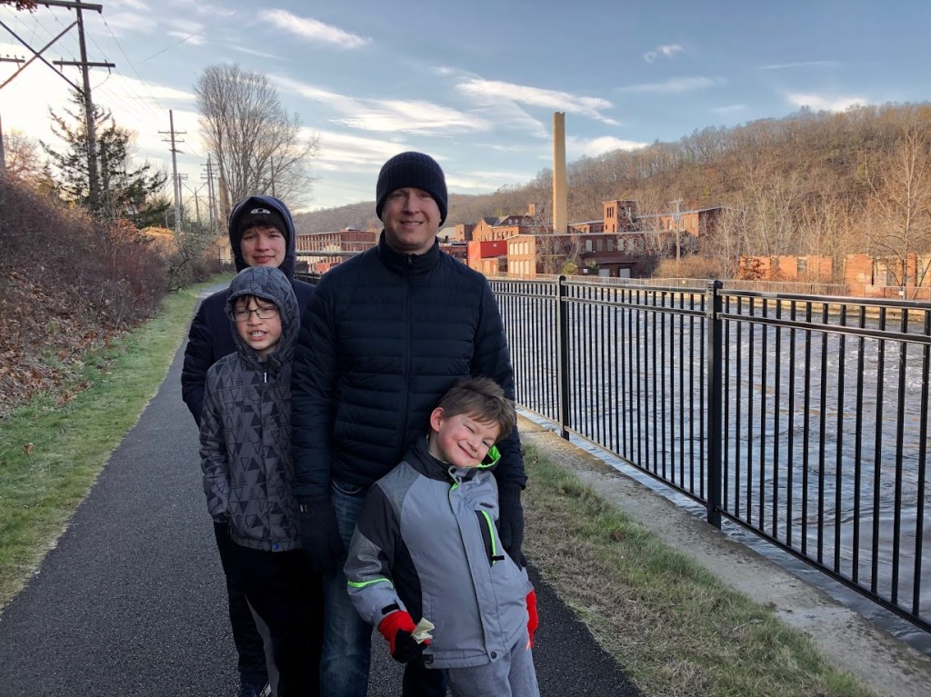
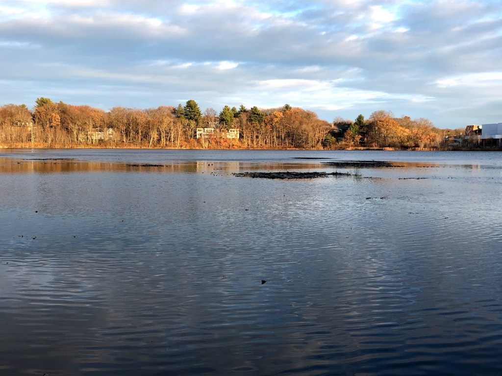
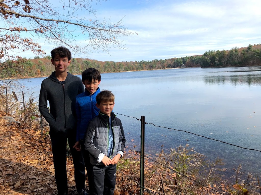
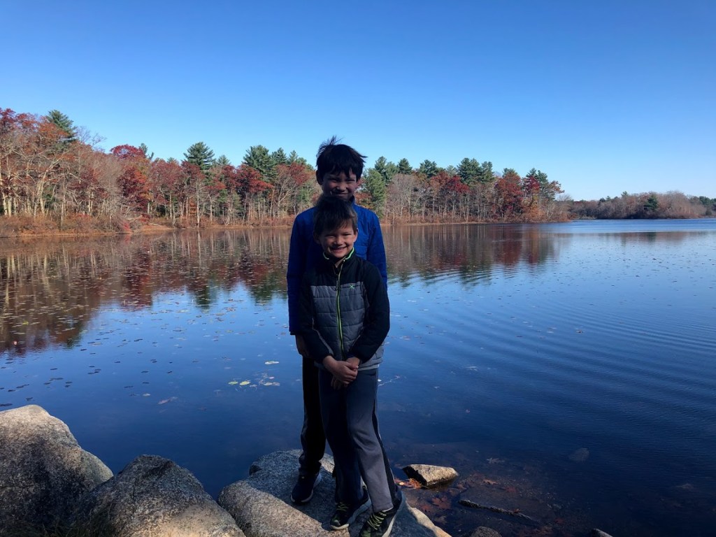
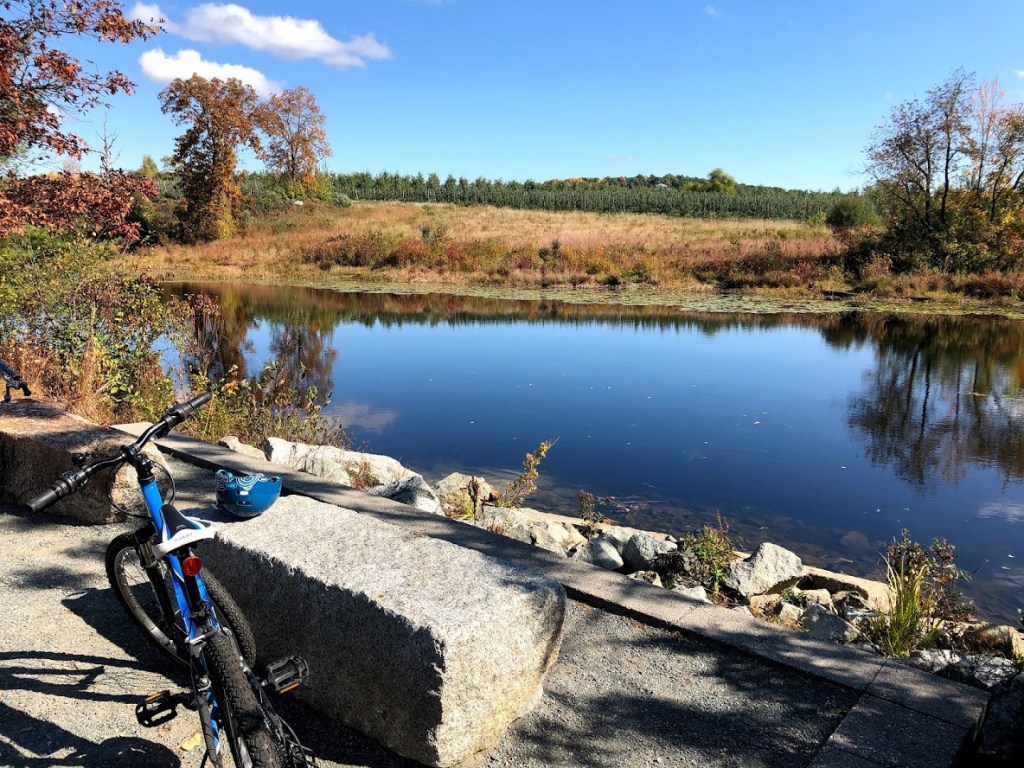
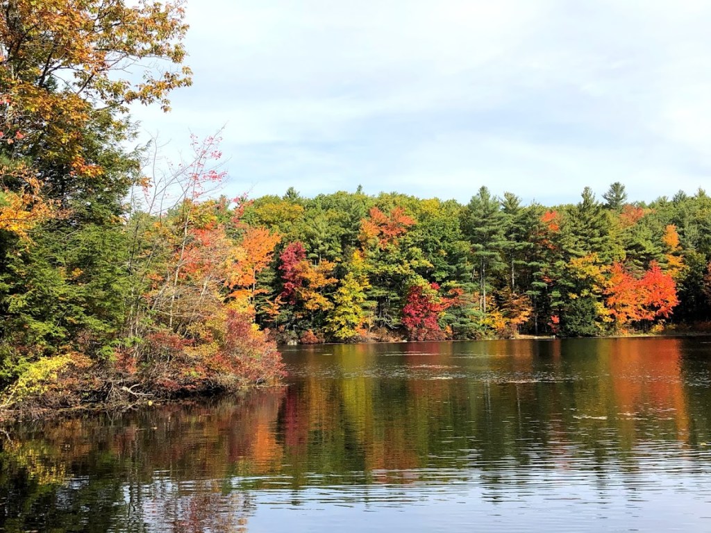
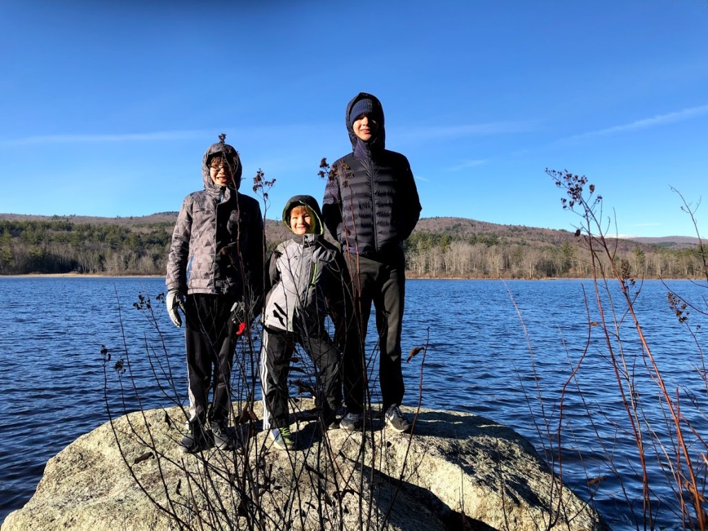
Although the main visitor station and campgrounds were closed, we parked and headed down the access road to the pond, starting the loop trail along the southern rim of the pond, with views to the north.
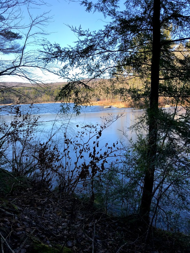
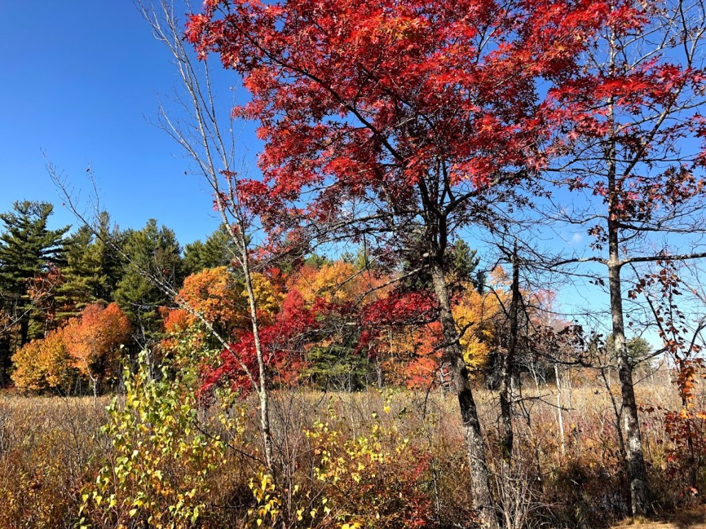
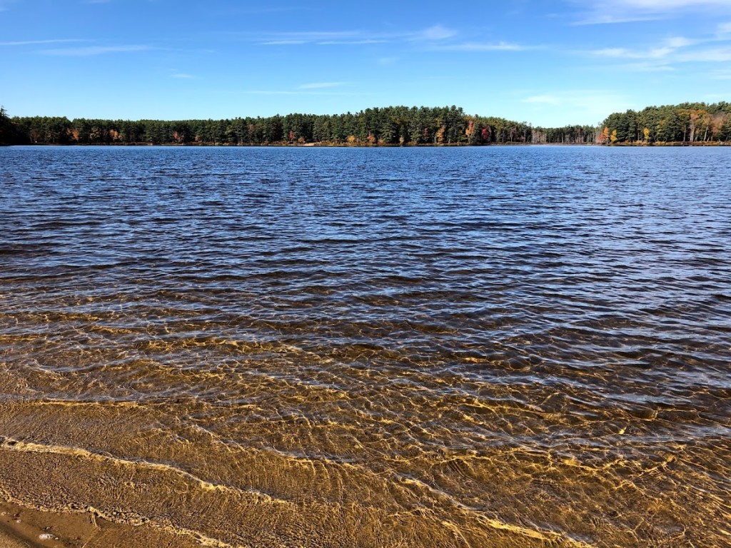
The scenery here is really beautiful but the day we visited was around 32 degrees with a strong northwest wind.
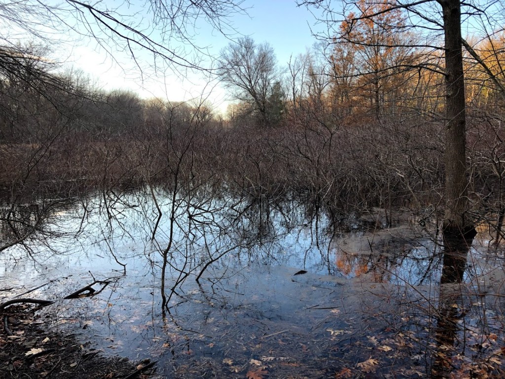
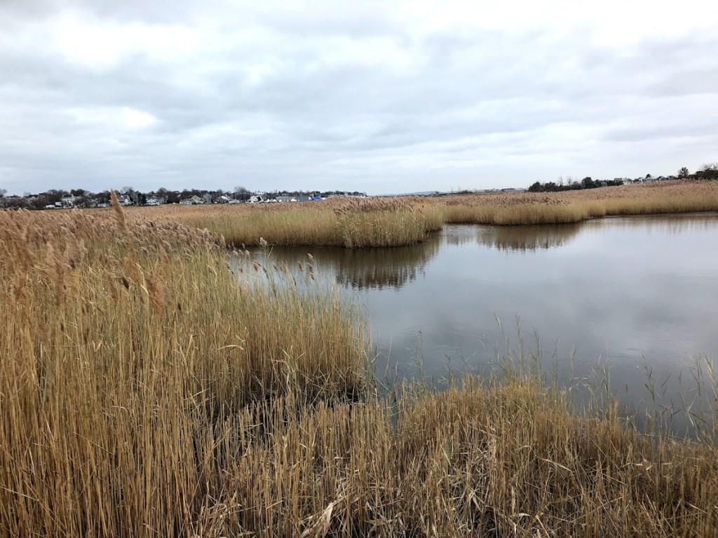
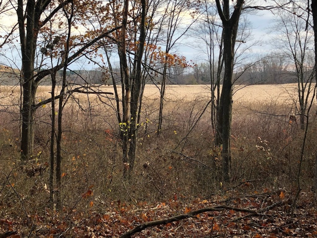
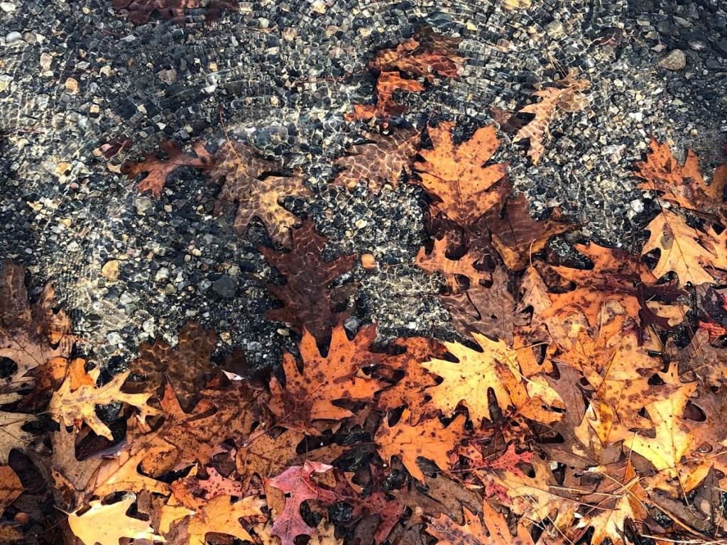
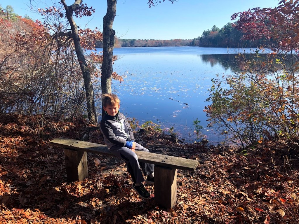
The trail heads west and hugs the pond, leading past some marshy areas.
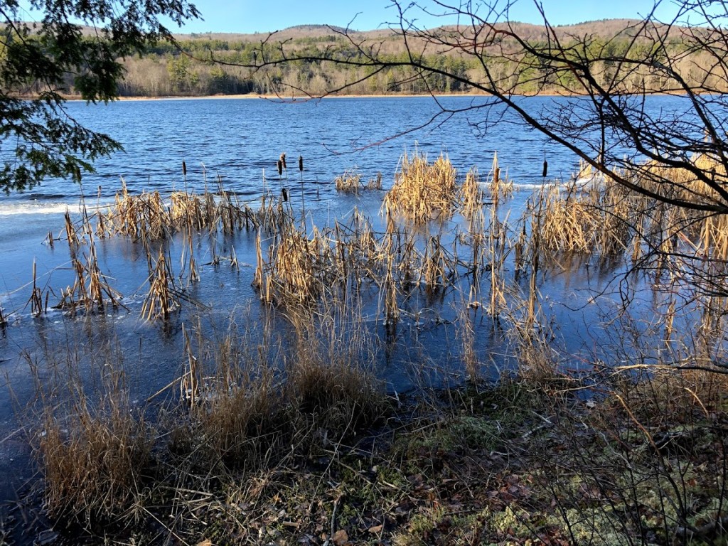
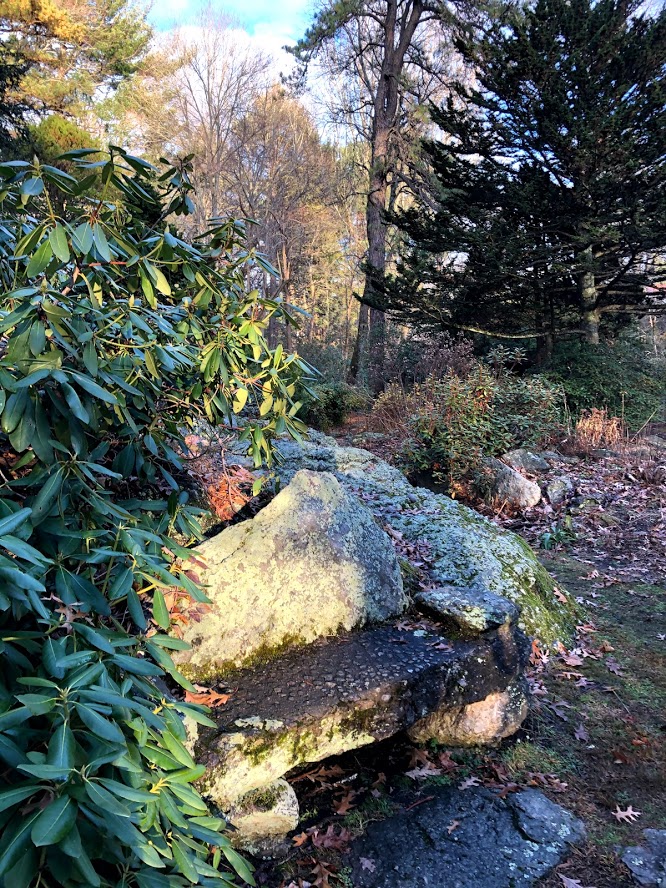
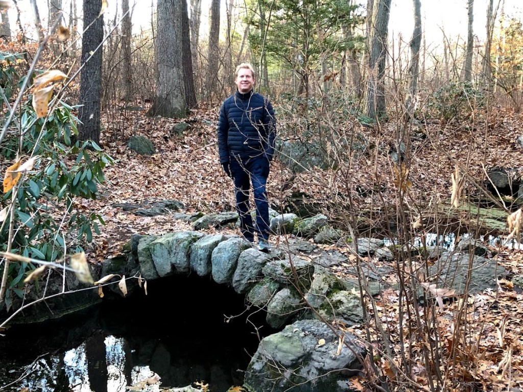
Fortunately there are many small footbridges or logs along the path to get past the apparently muddy areas. When we visited this wasn’t a concern as the mud was semi-frozen and icy leaves crunched under our feet.
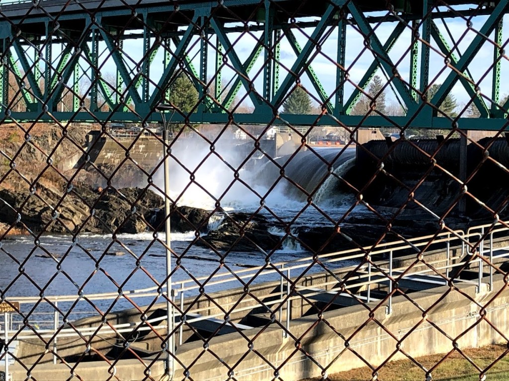
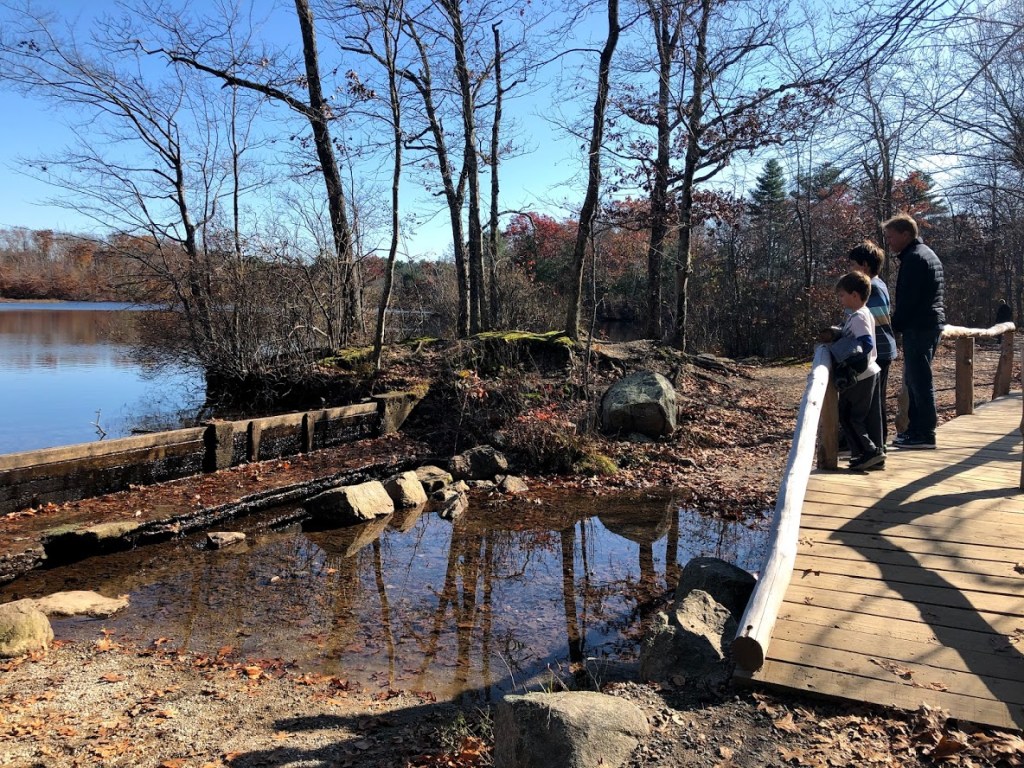
You can see some wind turbines on the mountains just to the east, one of the few man-made items we saw along the pond.
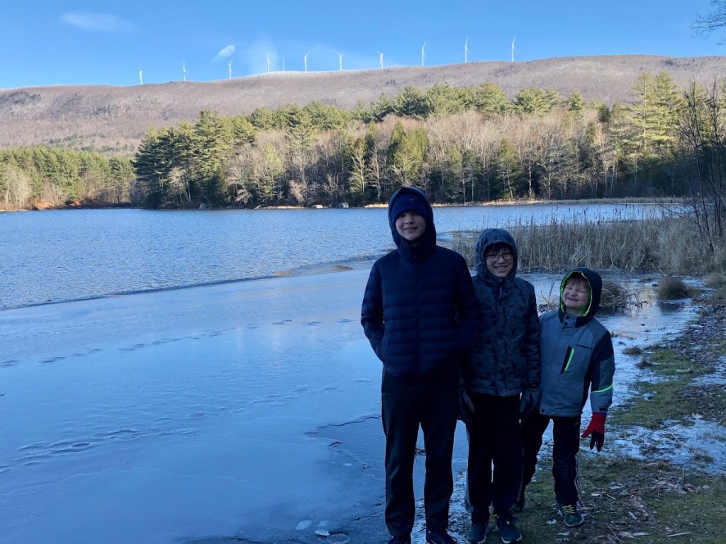
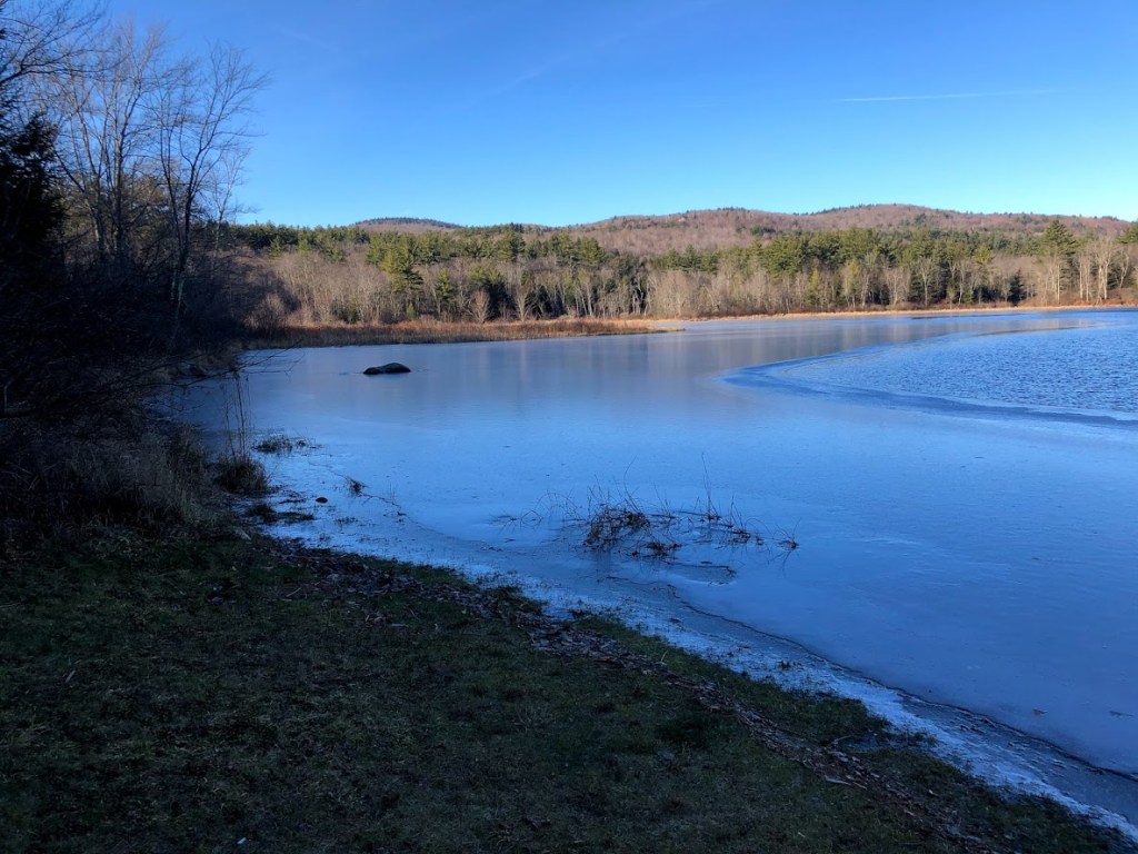
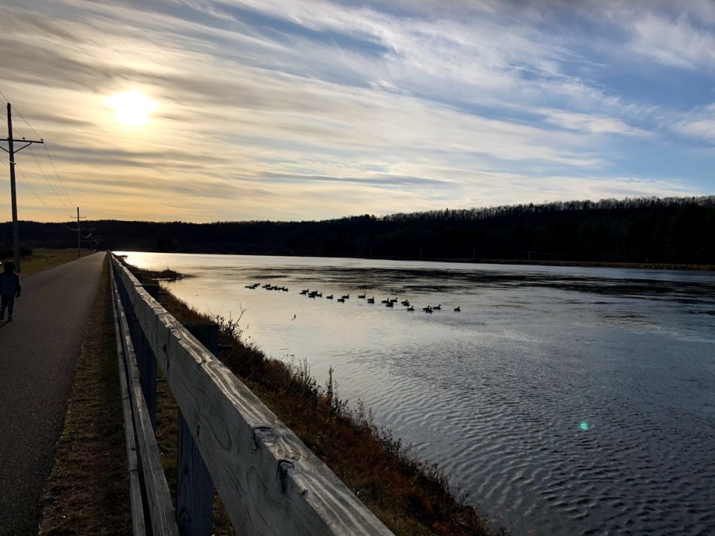
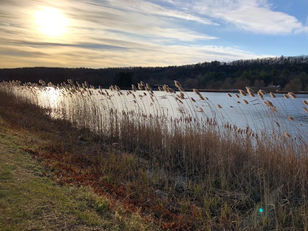
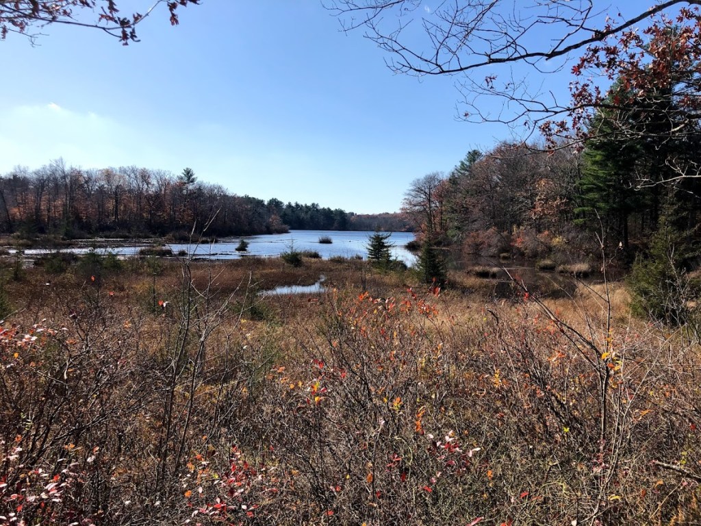
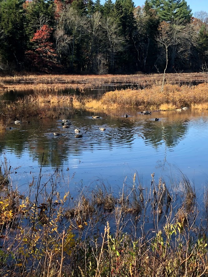
The views to the northwest (above) and the north (below) look directly into southern Vermont, as this park basically touches the border of the two states. You can see from these how wild it looks. You get the feeling of being farther north.

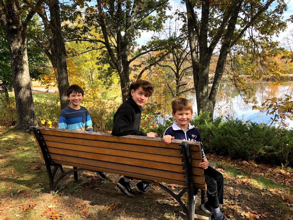
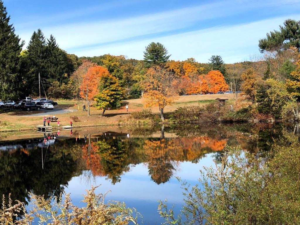
The views along the pond and to the distant mountains are really striking. The campground sites looked small, however, and we could hear the distinct road noise as cars passed from time to time.
 The location feels more wild and remote than it really is, which is a pleasant surprise. Beautiful scenery along the pond.
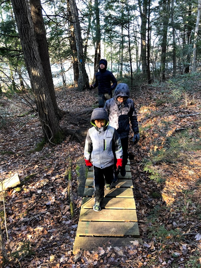
 The trail was long, and we didn’t have a map (and no internet connections either). It would be a neat place to camp in the summer.
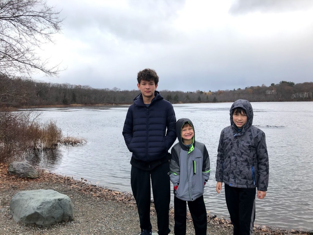
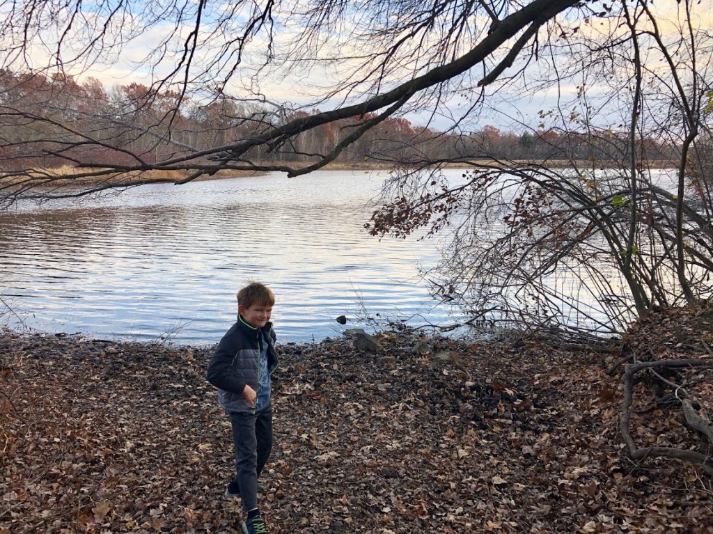
 A small, wild path around a large lake. No surprise no one was there. It was bitterly cold and Miles had to poop when we were coming back. 10/10 stinky odor, 1/10 for the park overall.
 There was so much moss on the ground and the river was frozen 10 feet away from the shore!
 I liked the super duper big amount of ice on the lake.
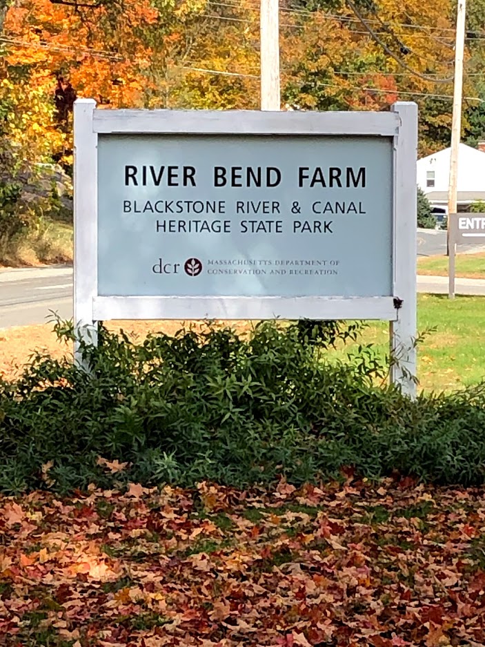
For more information: Clarksburg State Park official site.