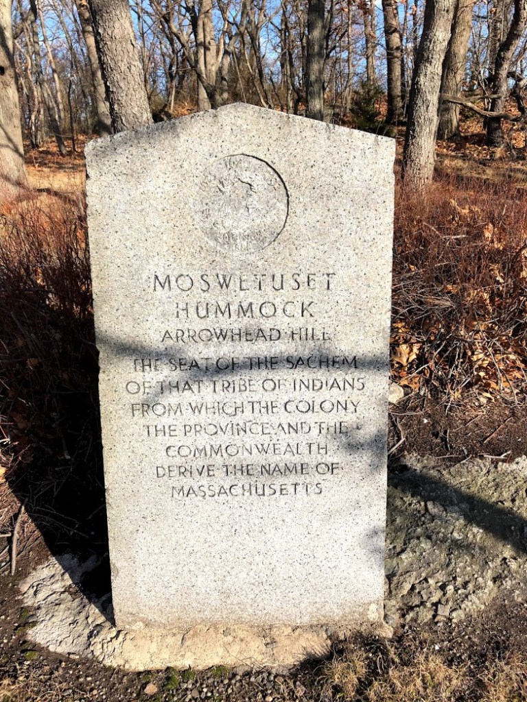
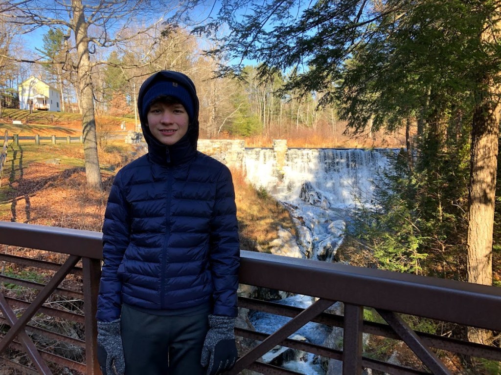
March 15, 2020 Sunny
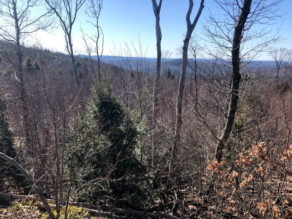
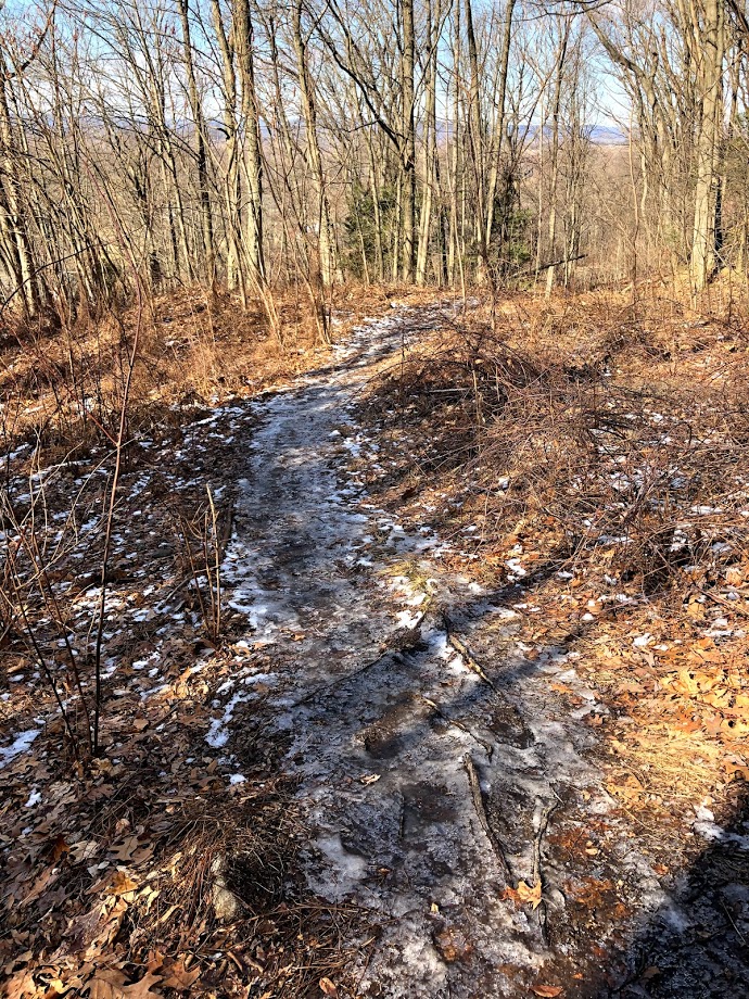
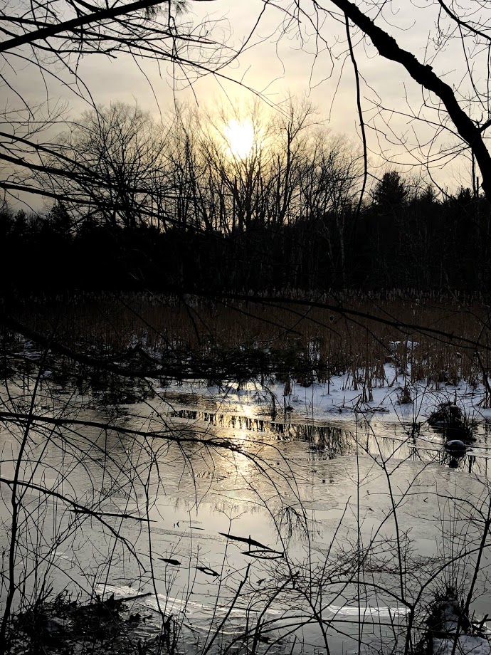
In the spring and summer, the Chasm is usually much colder than the surrounding areas, and in March there could still be snow and ice. But we came on a warm day.
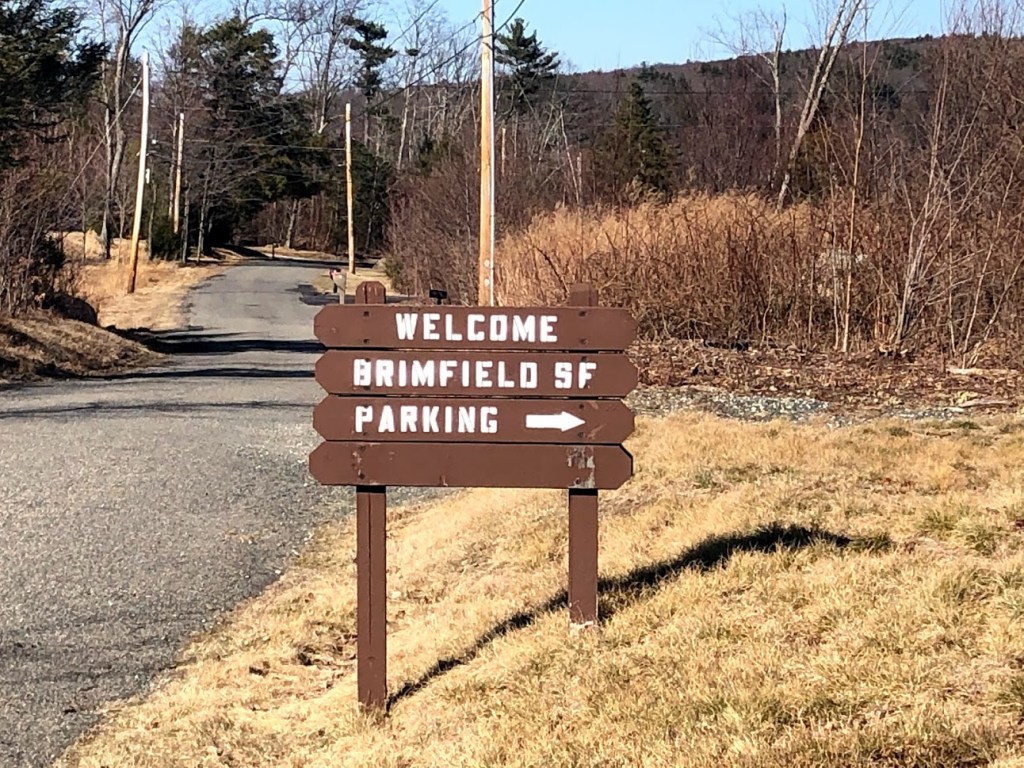
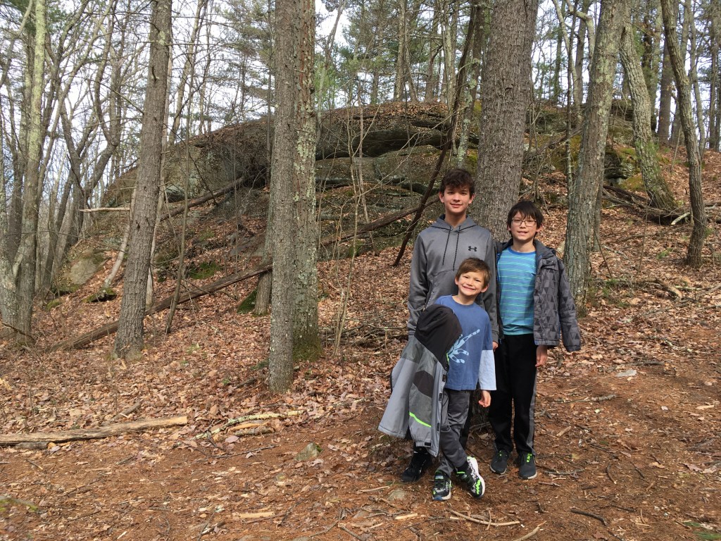
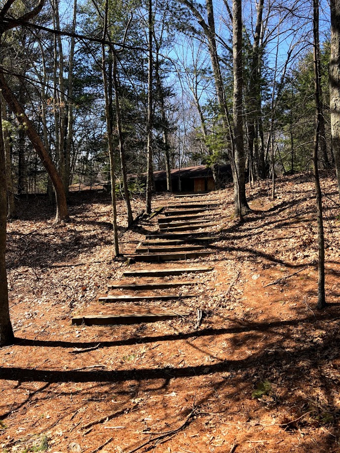
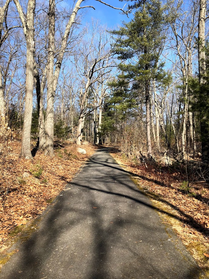
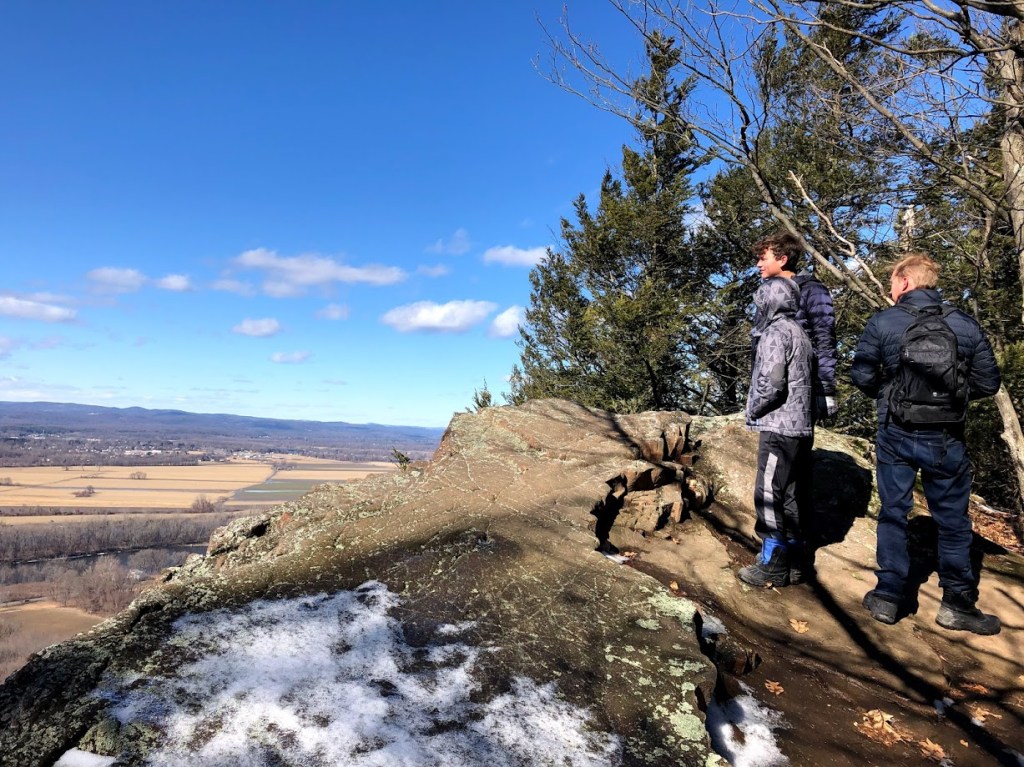
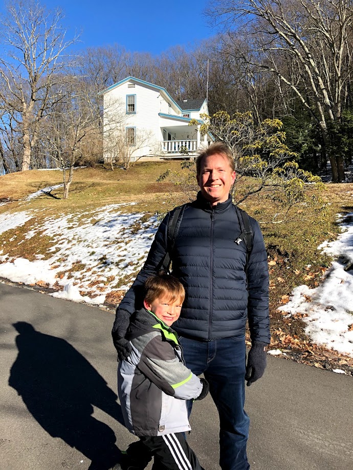
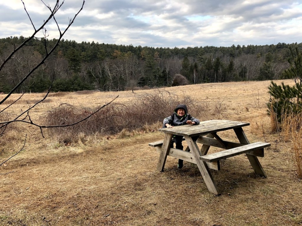
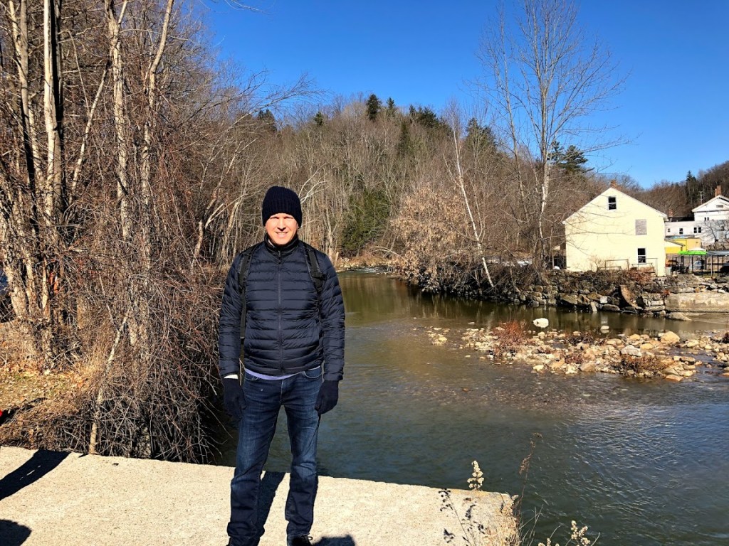
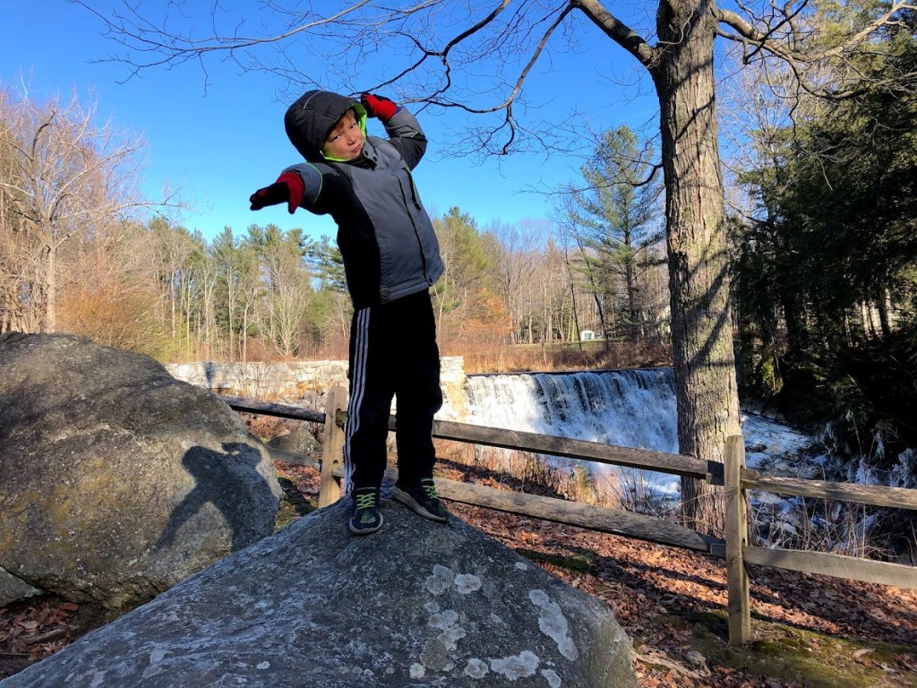
We’ve been here several times before. There is a visitor’s center, but it was closed that day. On the right of the visitor’s center, there is a playing field, a play structure, and picnic benches. On the left across the road, is the chasm entrance and other hiking paths such as Charley’s Loop Trail.
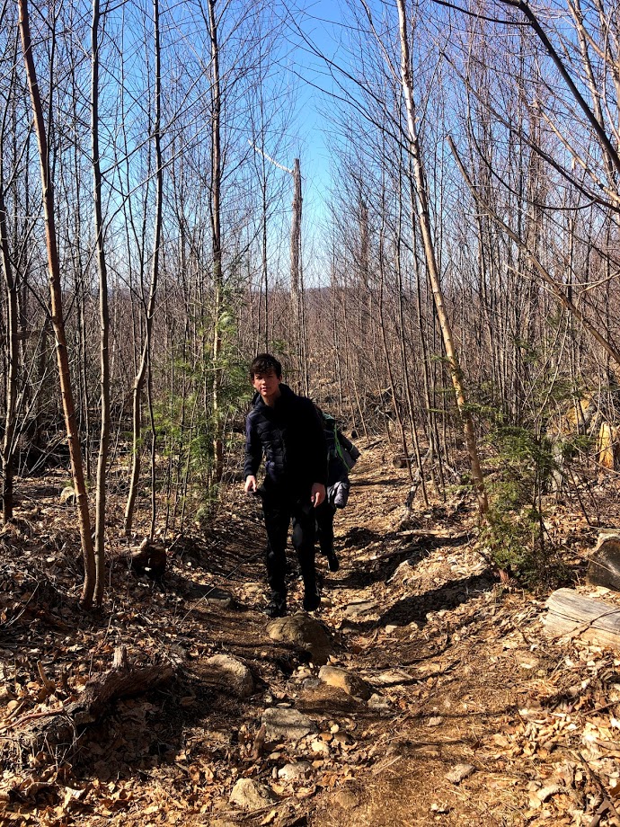
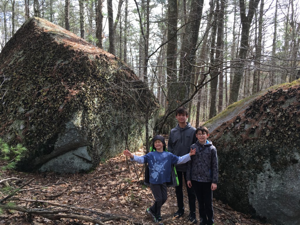
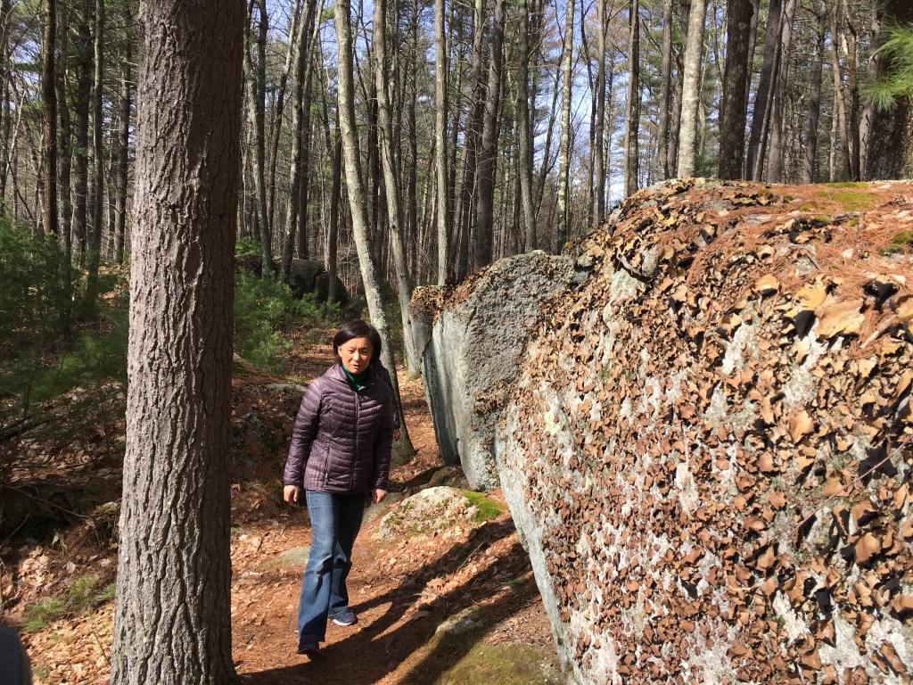
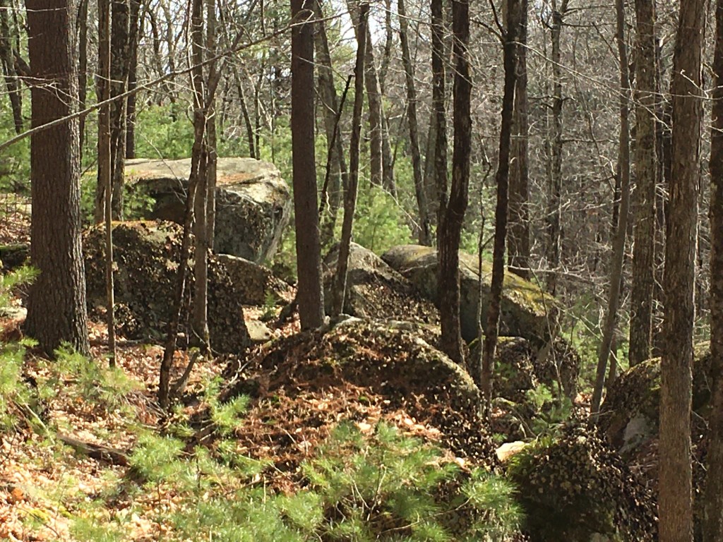
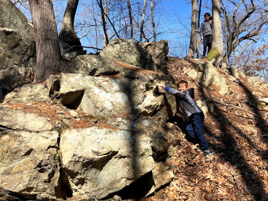
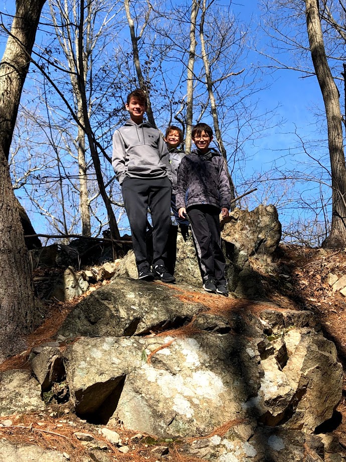
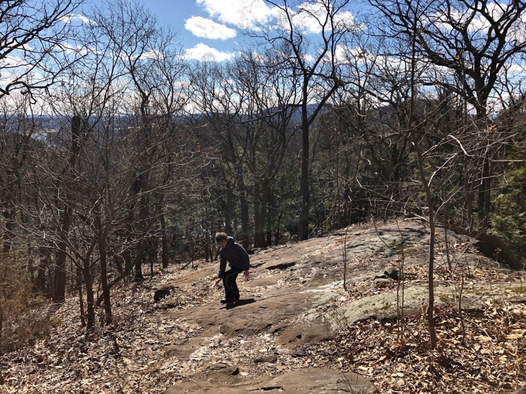
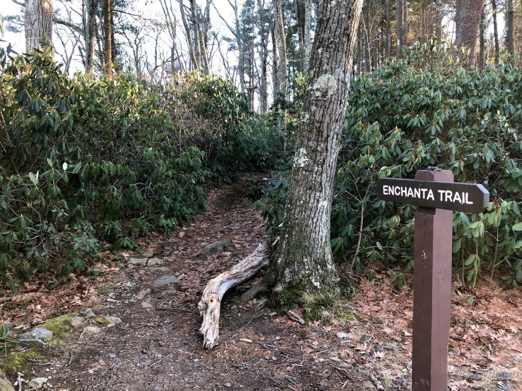
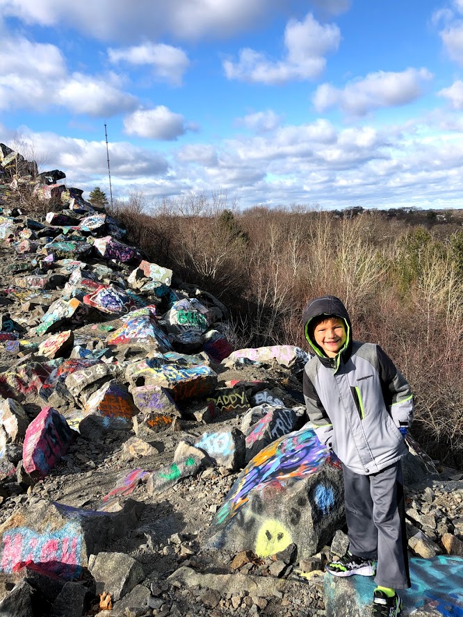
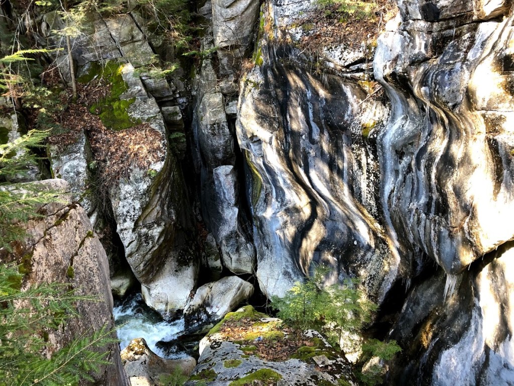
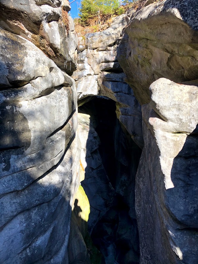
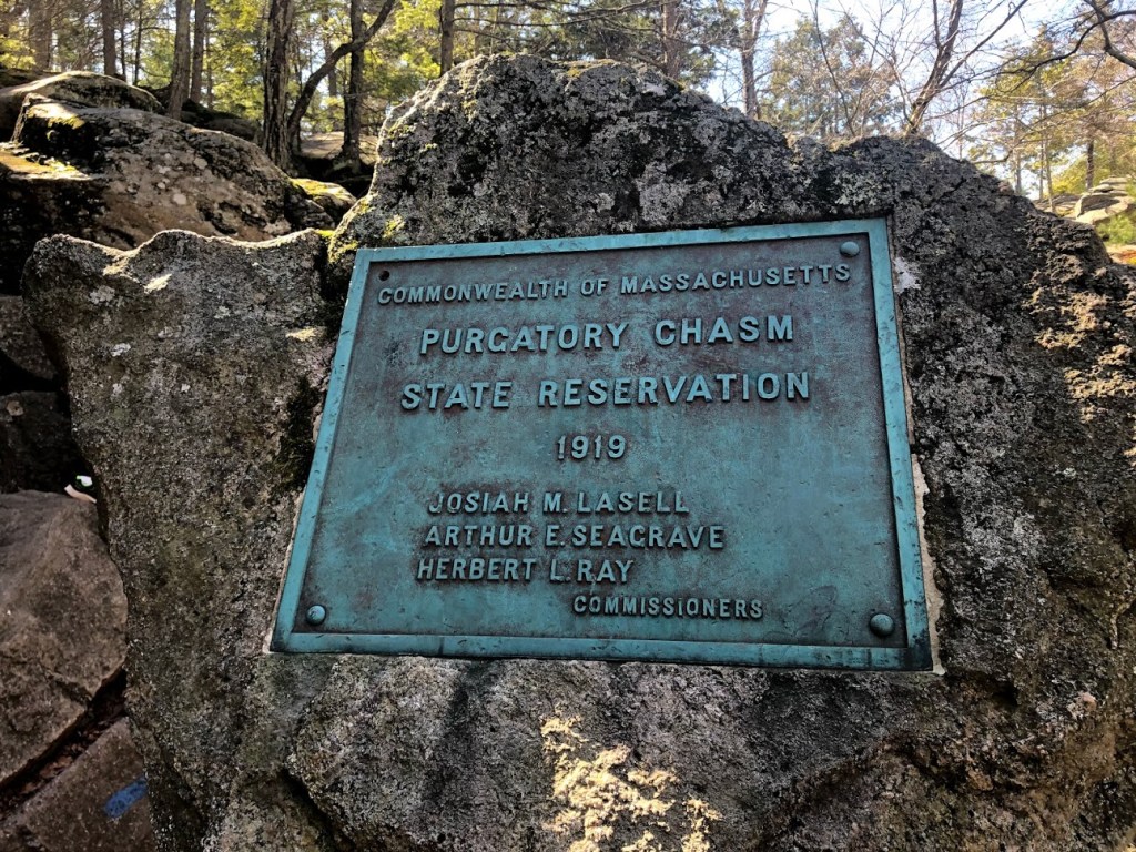
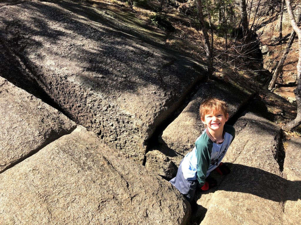
We hiked down to the Chasm. Officially it’s called the Chasm Loop Trail. It is 1/4-mile long and about 70-foot deep narrow stretch of boulders and caves. There’s a lot of scrambling over and under rocks. The marked trail through the chasm is the easiest way, but the kids always wanted to do something more daring.
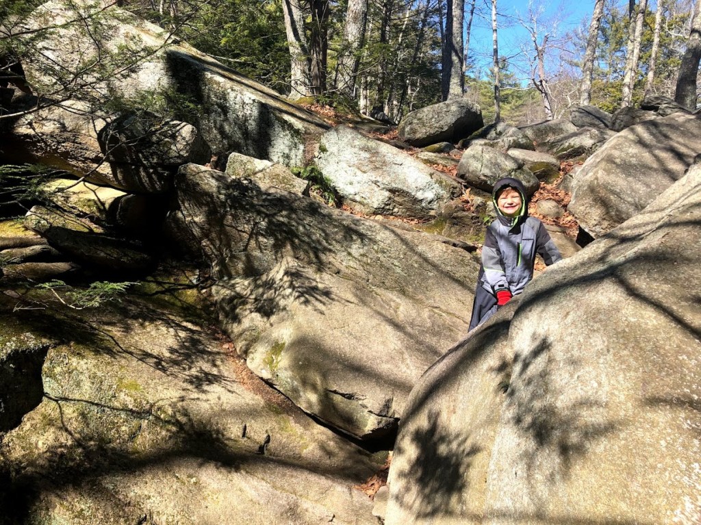
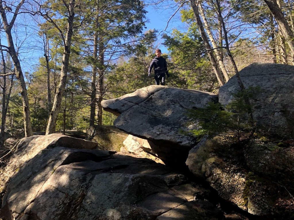
Along the Chasm Loop Trail, there are descriptive names for some of the rock features, such as Lover’s Leap and Devil’s Pulpit.
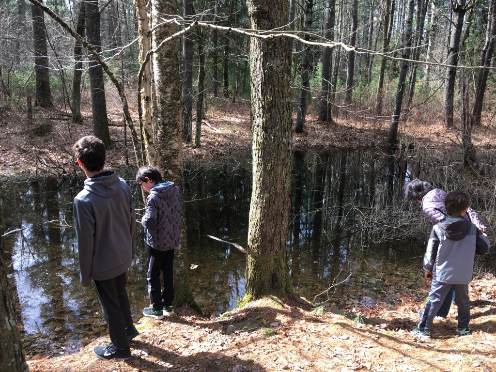
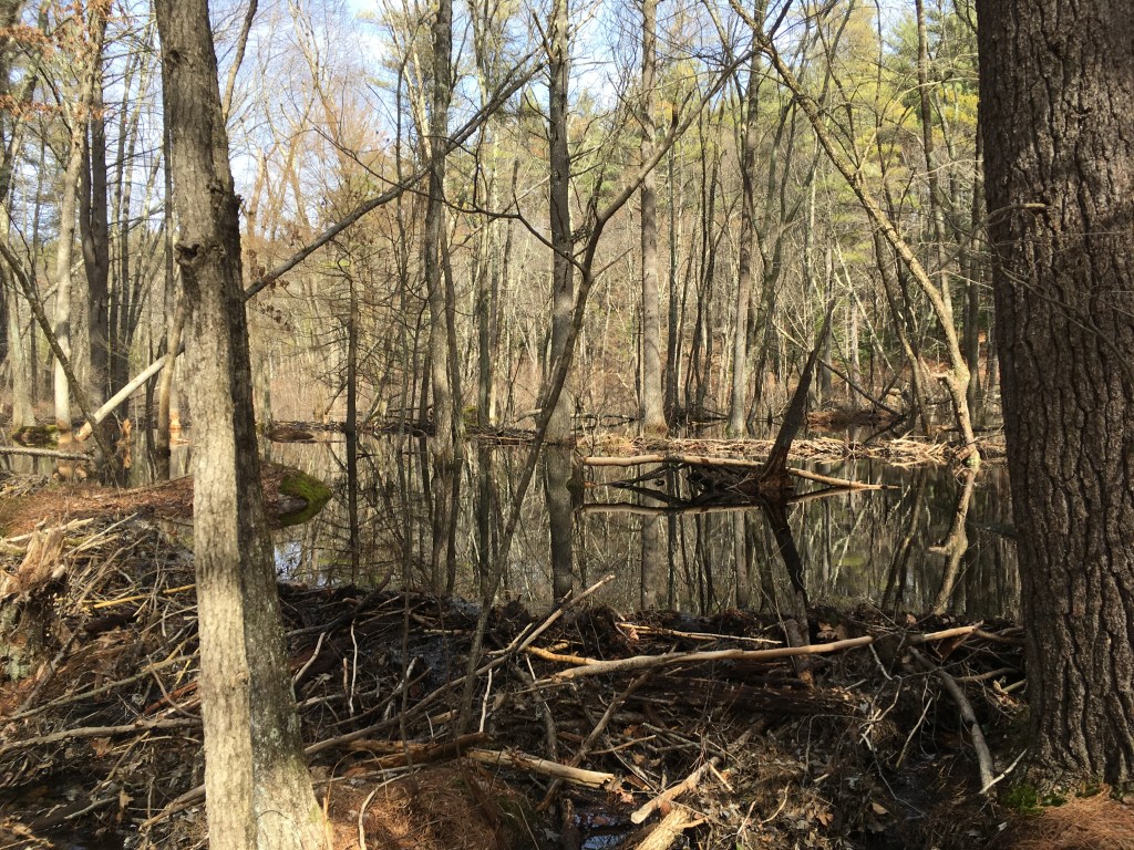
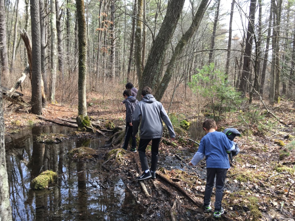
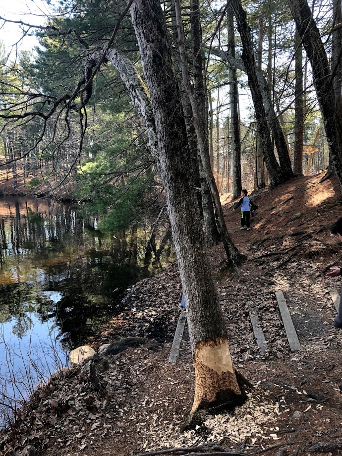
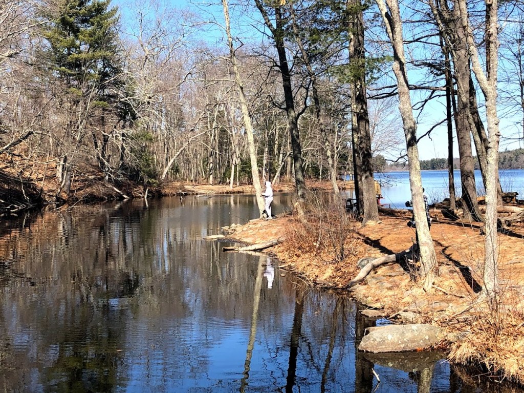
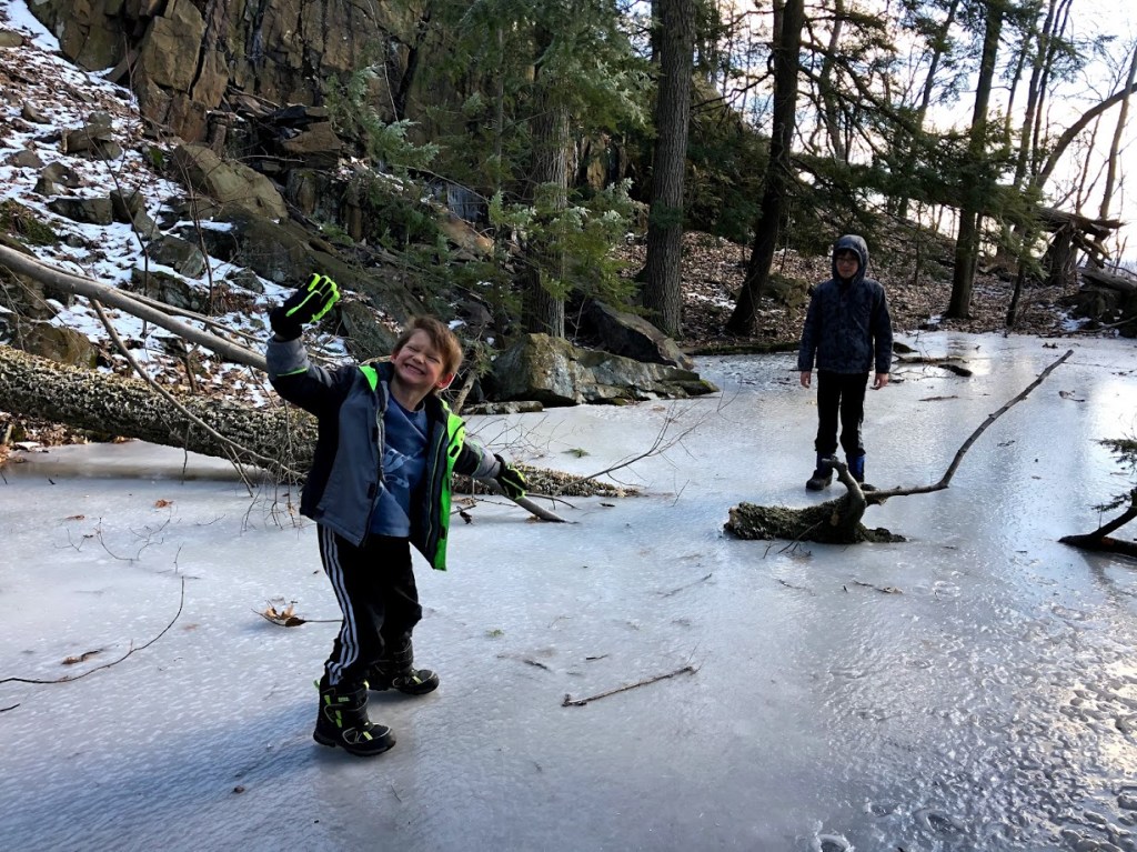
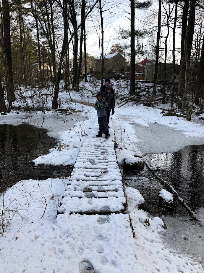
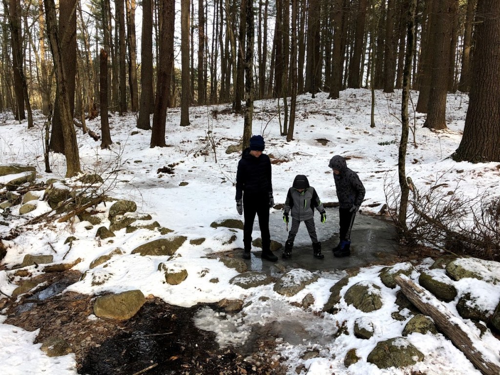
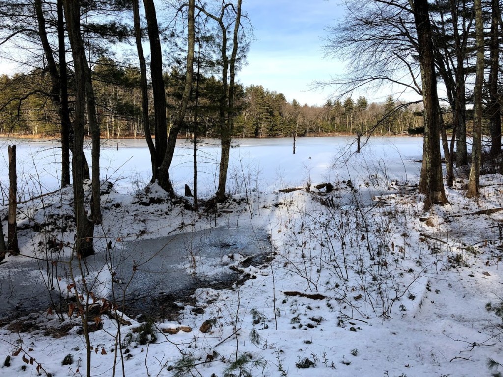
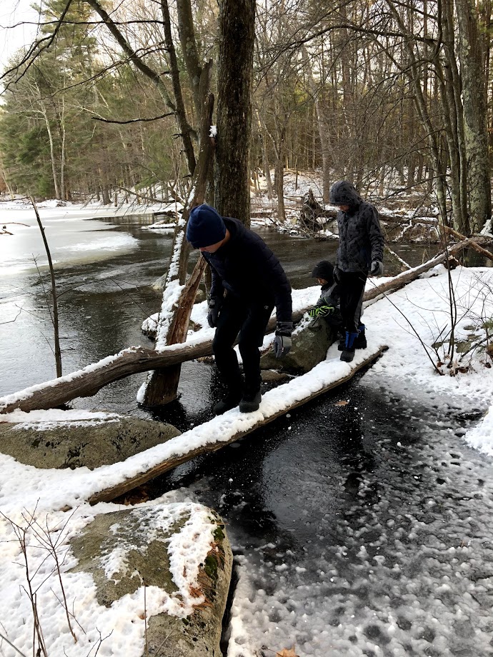
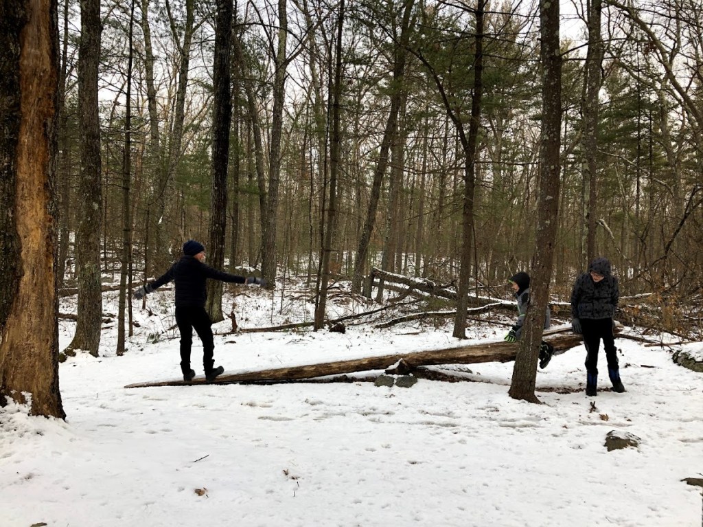
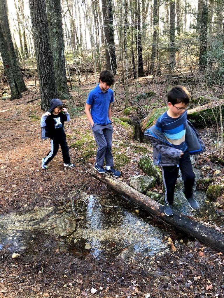
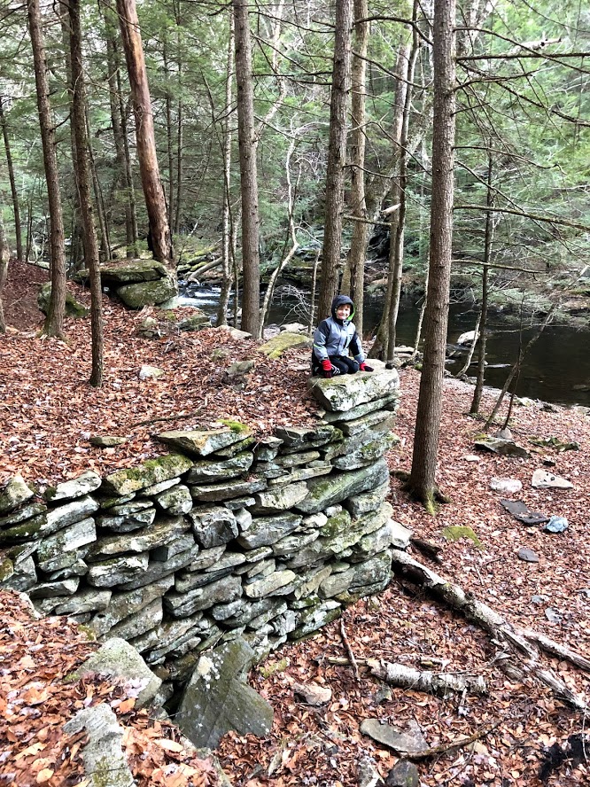
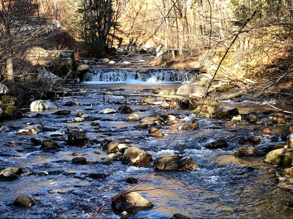
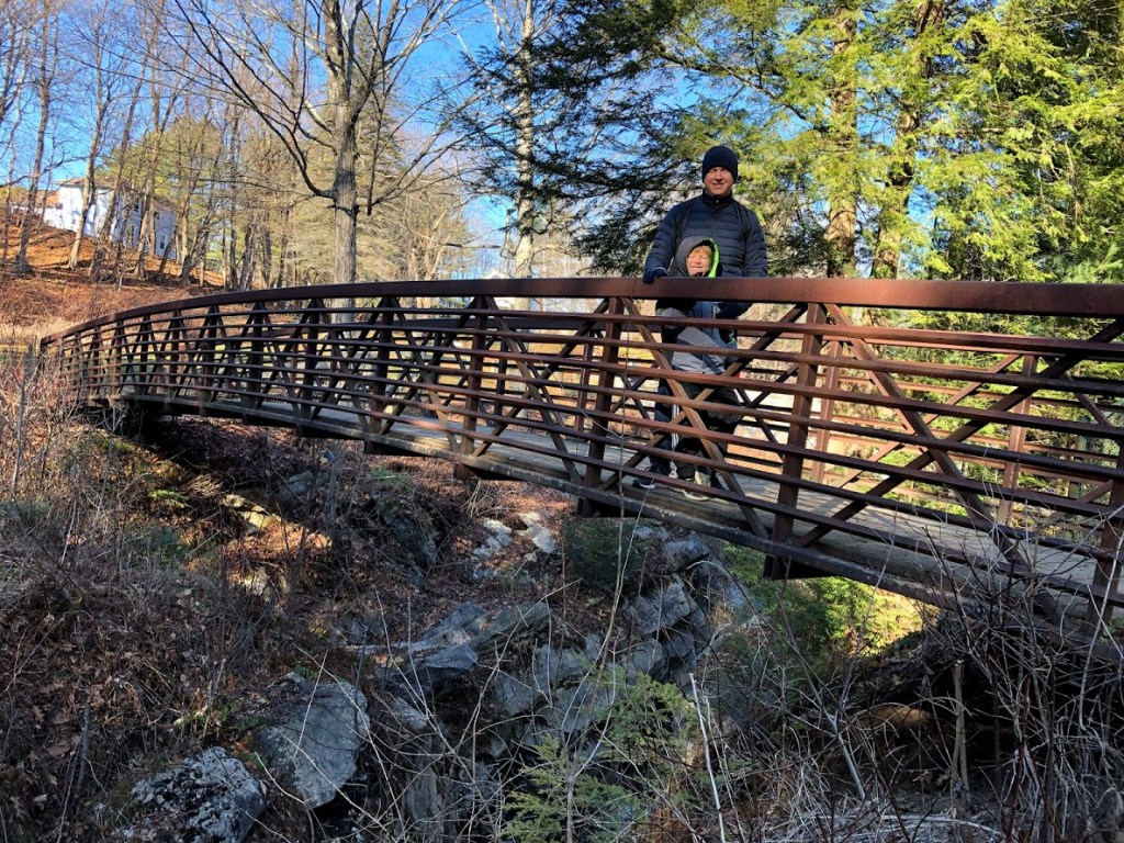
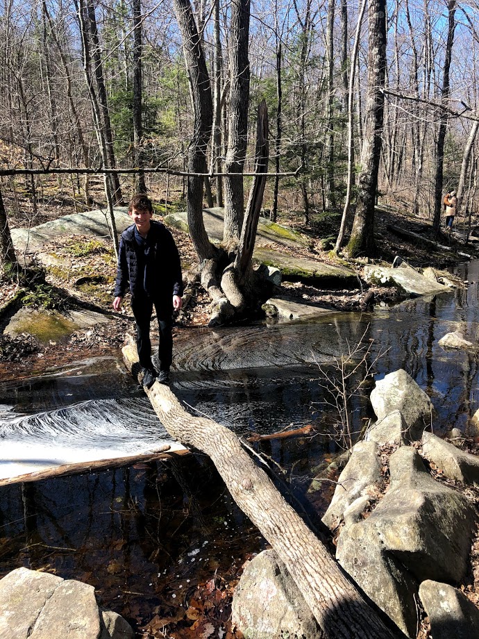
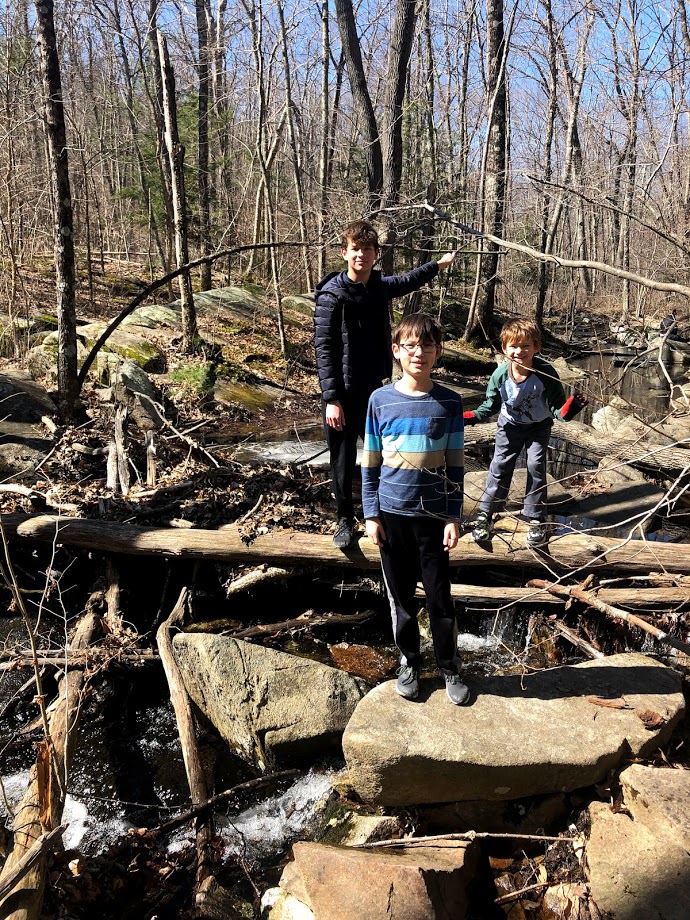
After all the scrambling, we followed a sign to the “Little Purgatory”. This is a trail along the Purgatory Brook, and there are boulders and rocks on the banks that’s also fun to scramble. The kids enjoyed the exciting game of crossing the brook on logs. Other kids were doing this too, and we saw some kid fell into the brook and got completely soaked.
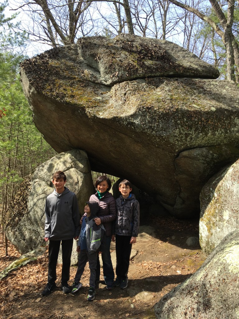
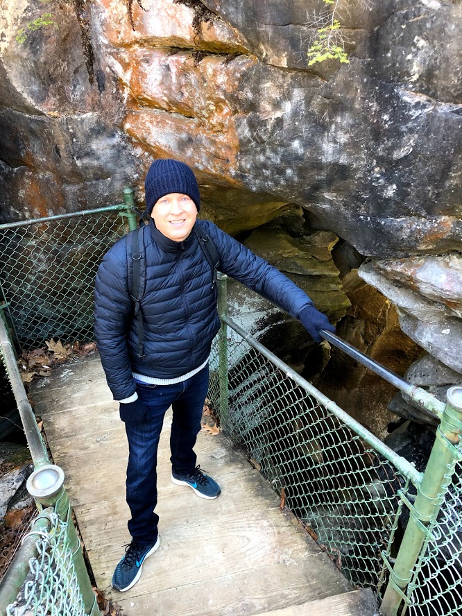
After the Little Purgatory, we went back along the other side of the Chasm Loop Trail, and came upon Fat Man’s Misery. This is where a large boulder had split and there’s a path in the middle. On one side there’s a steep cliff when the path emerges, and some people had fallen in the past, so we only let the kids go one way.
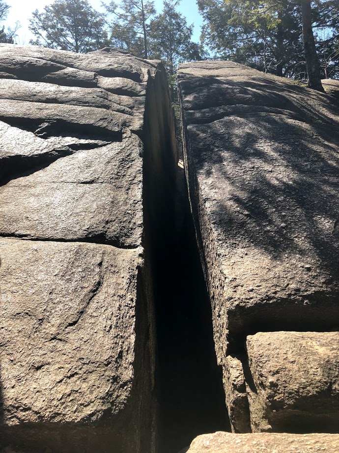
But they really liked this because it’s so exciting, and they went a couple of times.
There’s a similar but smaller one called Devil’s Corncrib, which is not as dangerous but also fun.
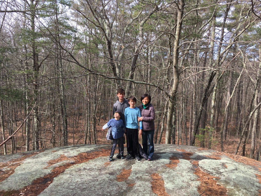
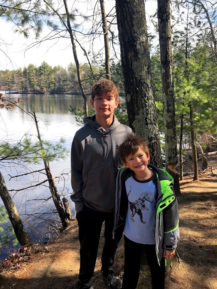
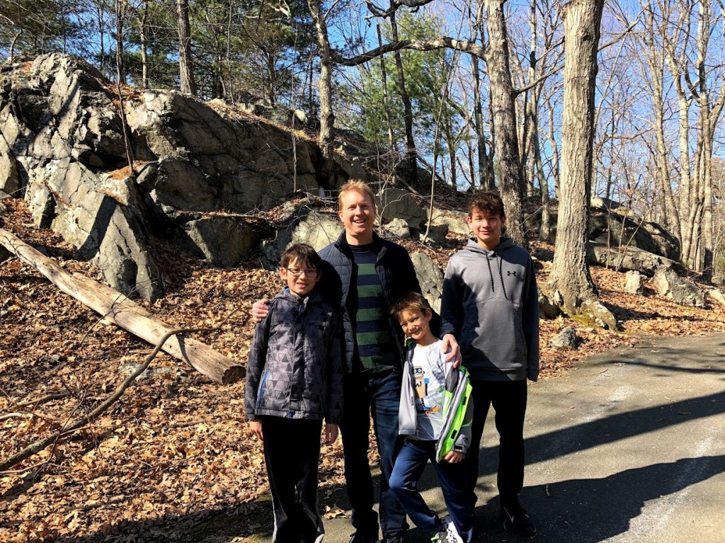
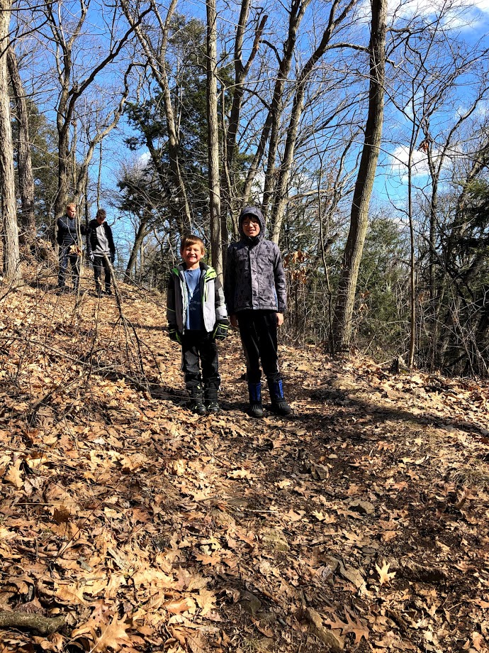
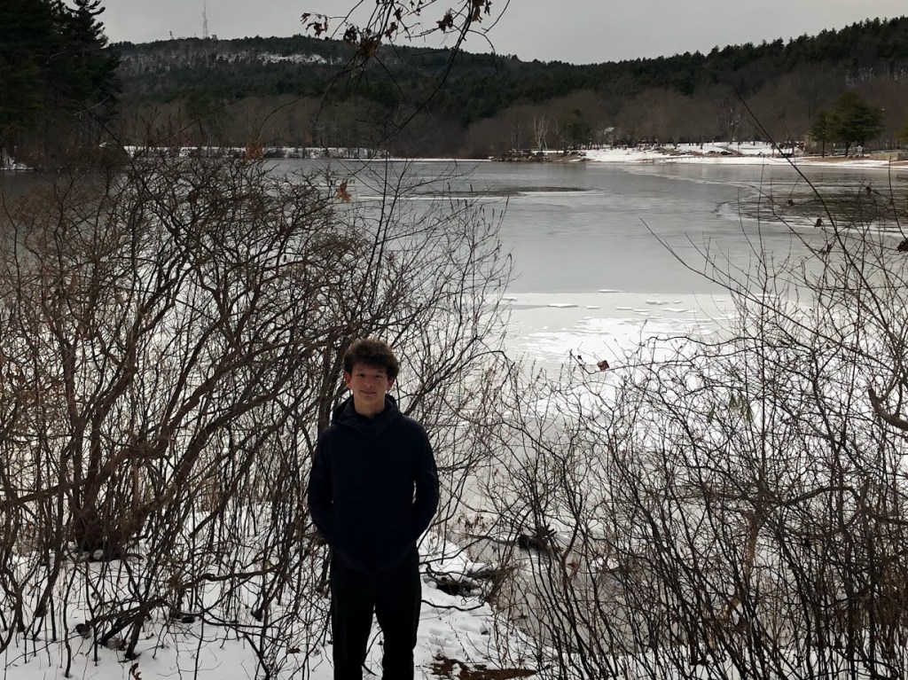
Overall, this was a bit hit with the boys.
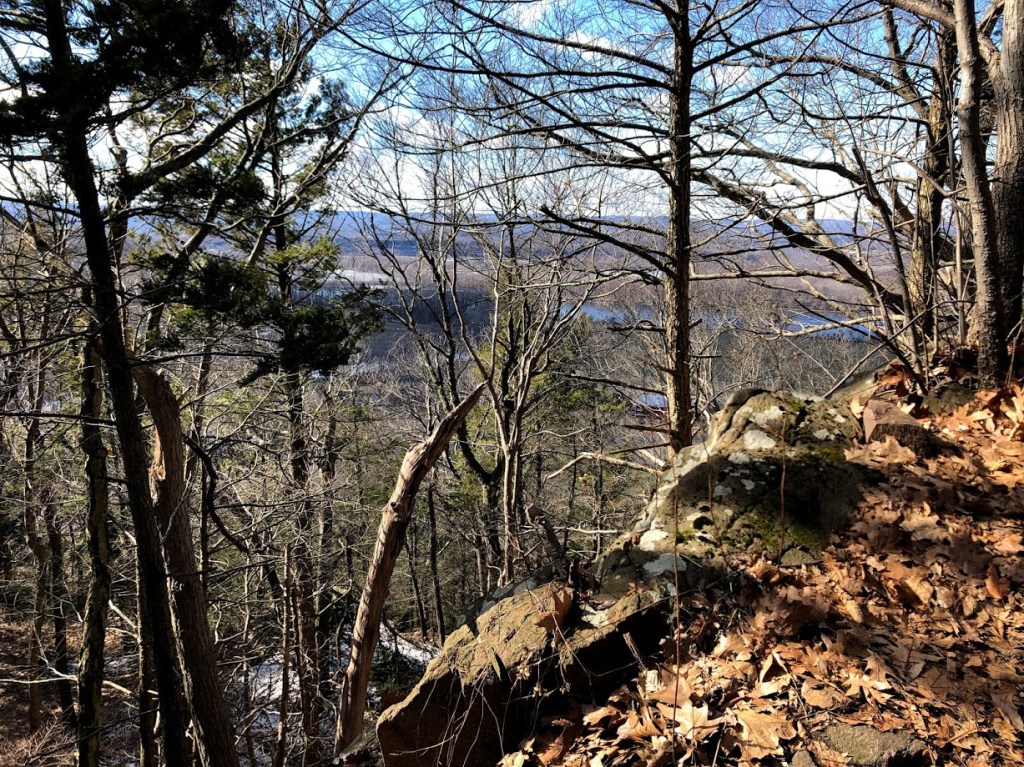
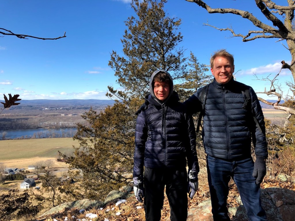
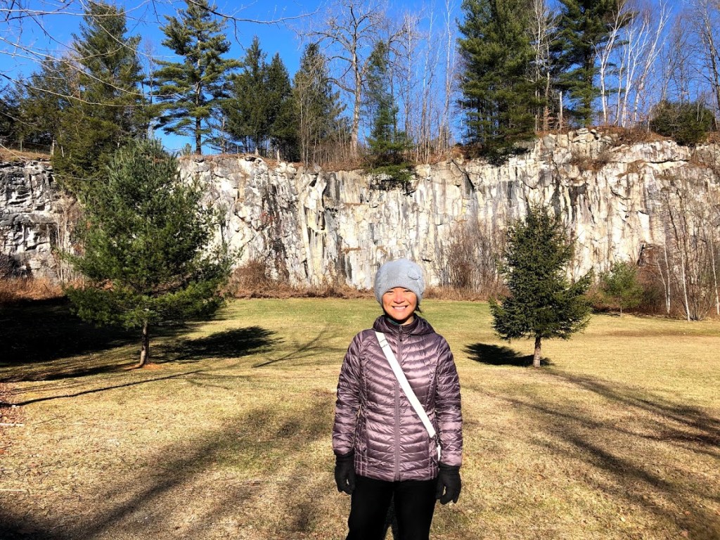
 The chasm is really amazing and a gem of a park.
 This is always a favorite of us. Scrambling over rocks and squeezing in caves.
  Everybody gangsta till some boy starts “swimming” in the river with all his clothes on (that’s what Ryan thought).
 The chasm was cool to climb in and out of.
  There was so much rocks and I like climbing on rocks. There was river and there was logs that went from one side to the other and we got to climb on it.
For more information: Purgatory Chasm State Reservation official site