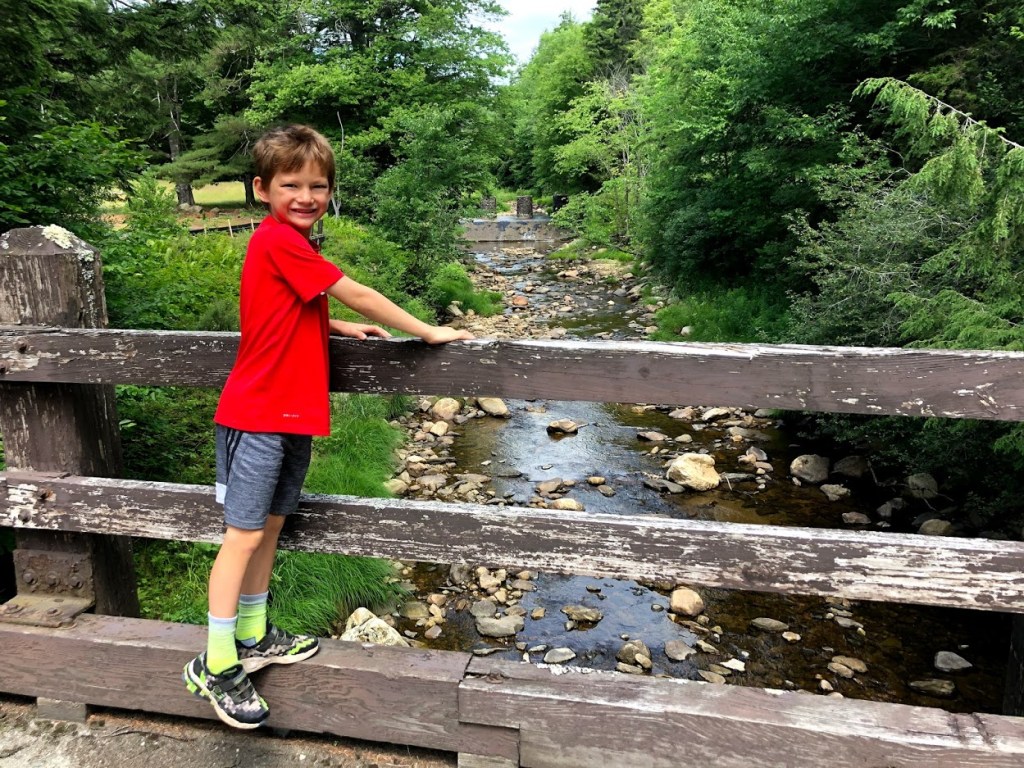
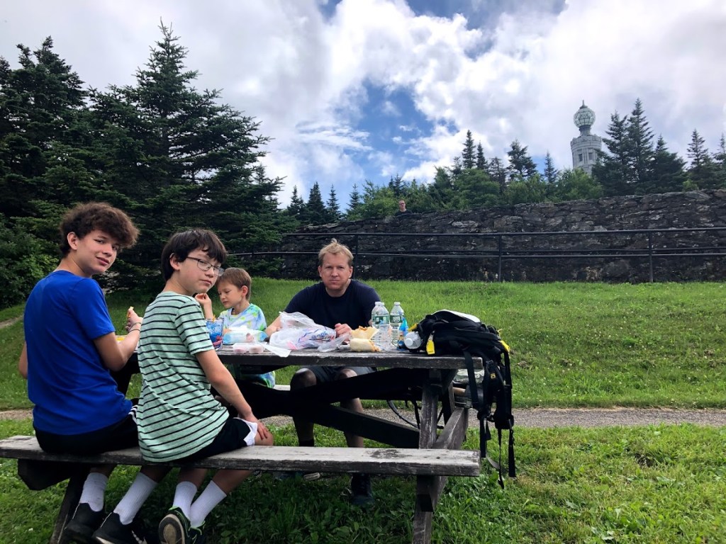
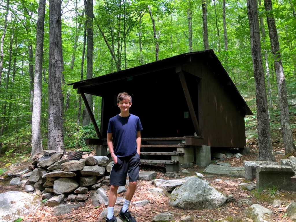
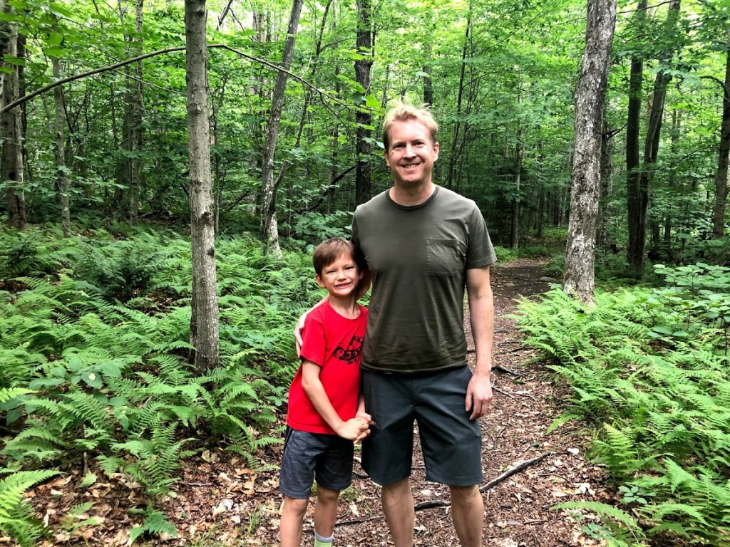
July 16, 2020 Cloudy
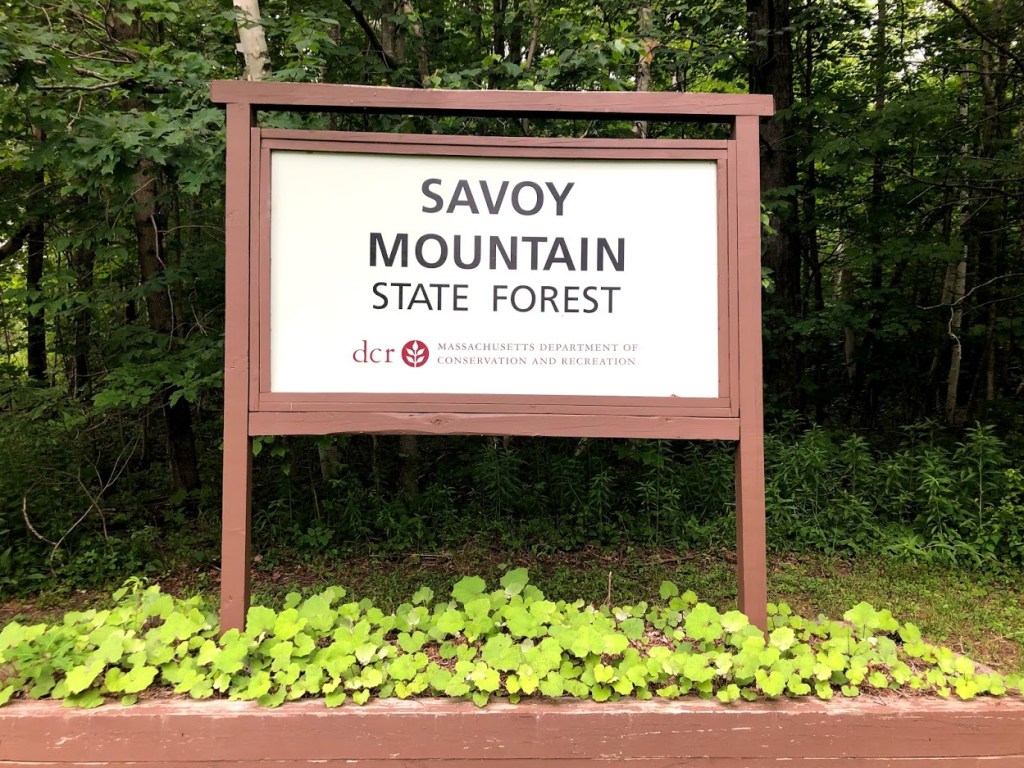
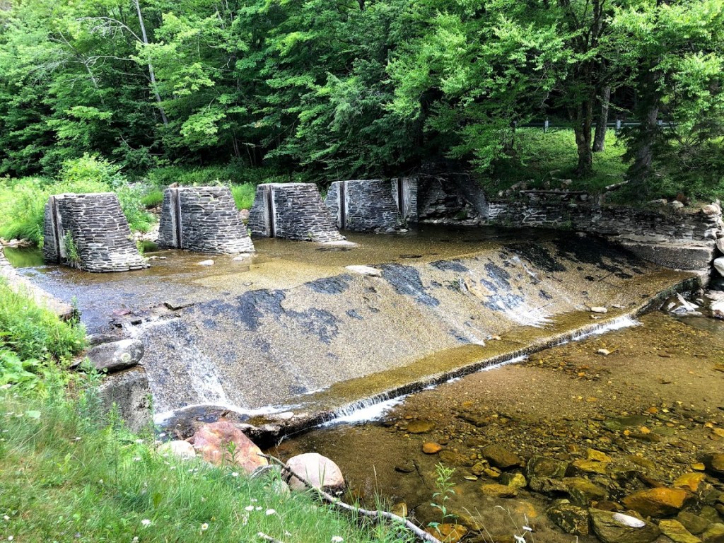
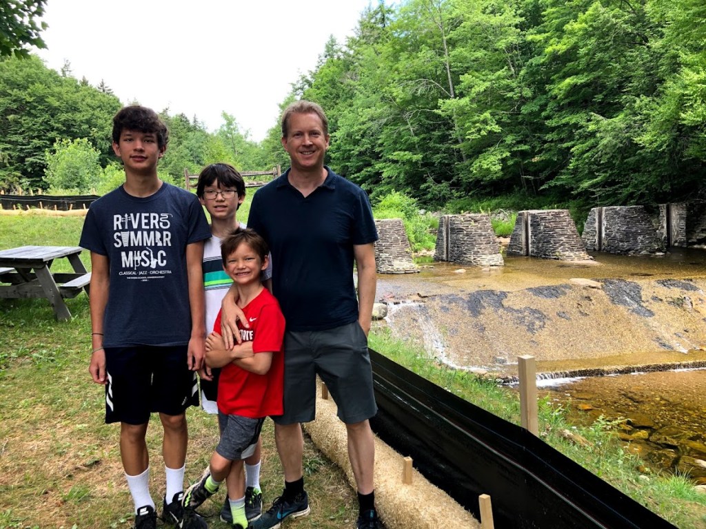
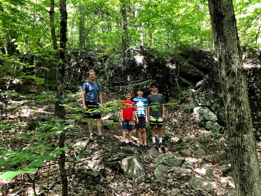
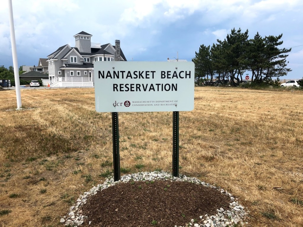
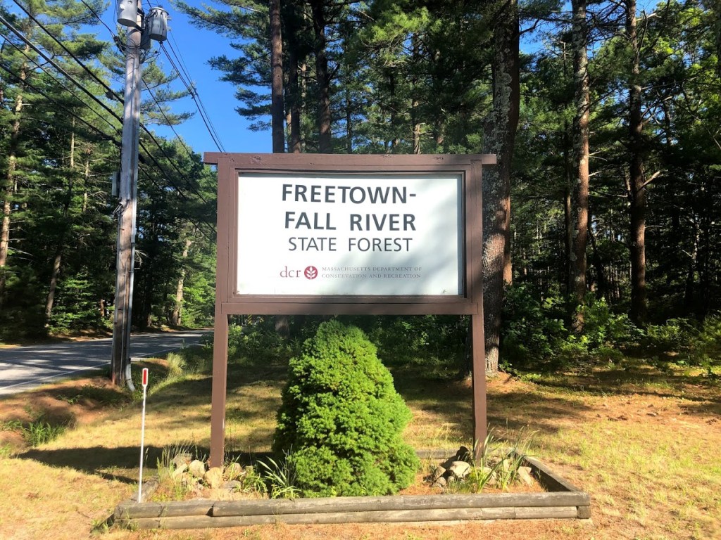
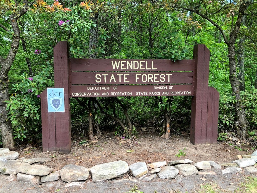
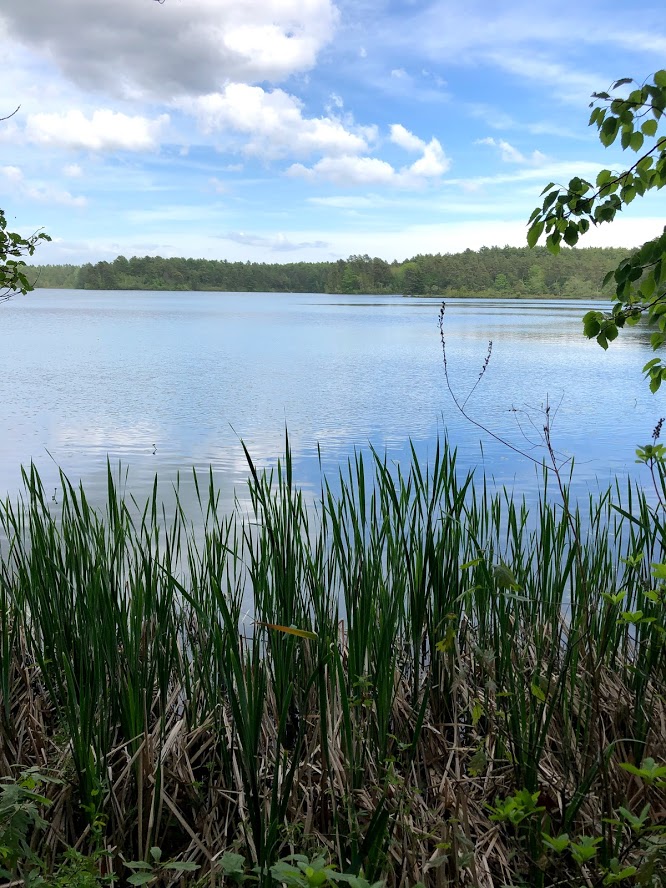
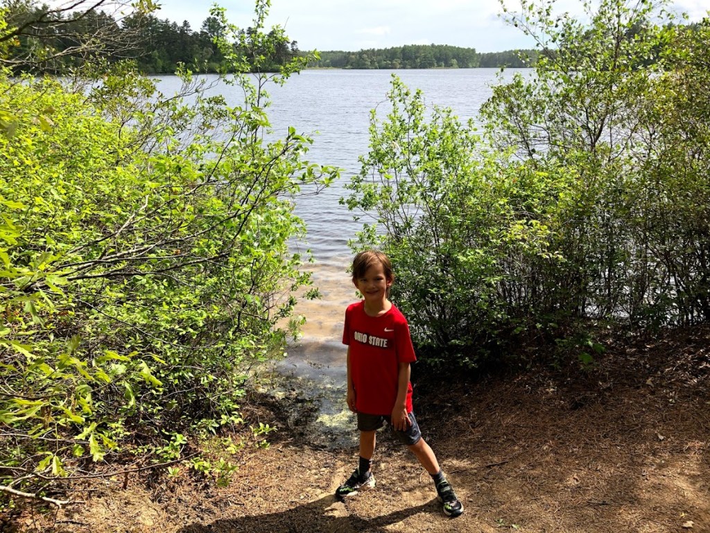
Savoy Mountain State Forest is a fairly remote forest located partly in the towns of Savoy and Florida in the northwest part of the state. It has several ponds, hills, and waterfalls within its boundaries.
We took the Busby Trail up Spruce Hill (2,566 ft.) since we read that it offered really spectacular views for modest effort.
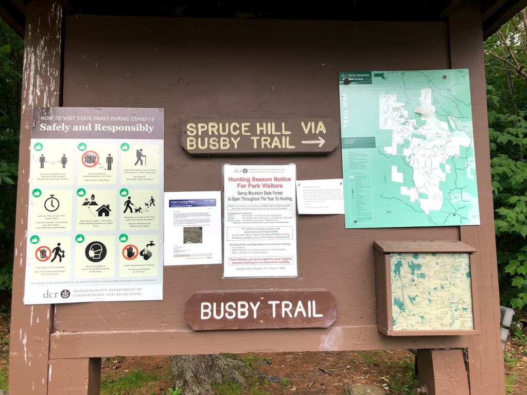
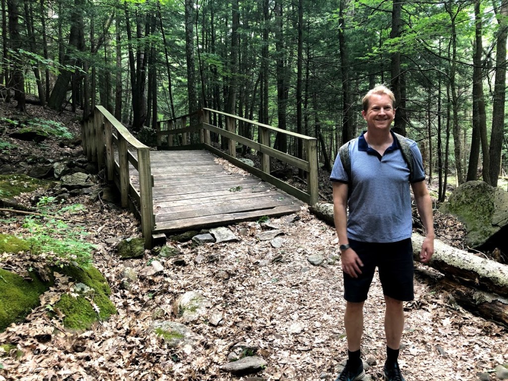
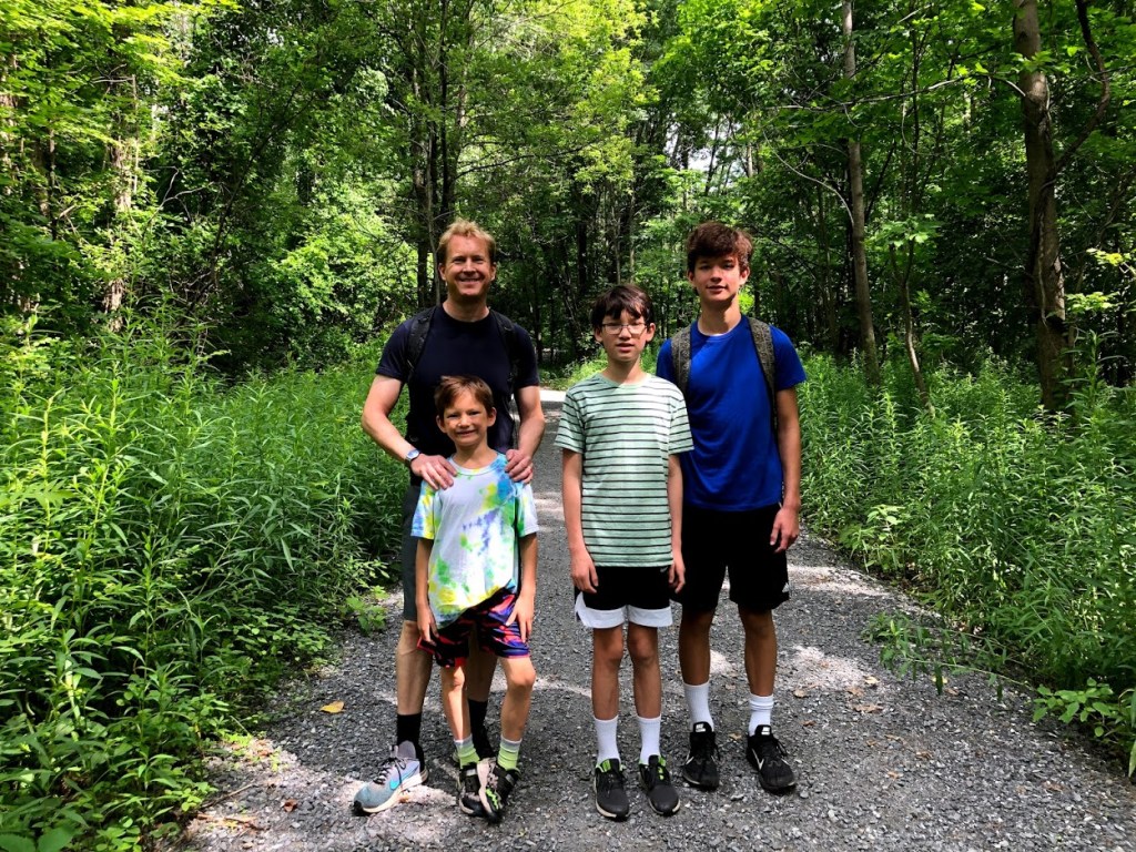
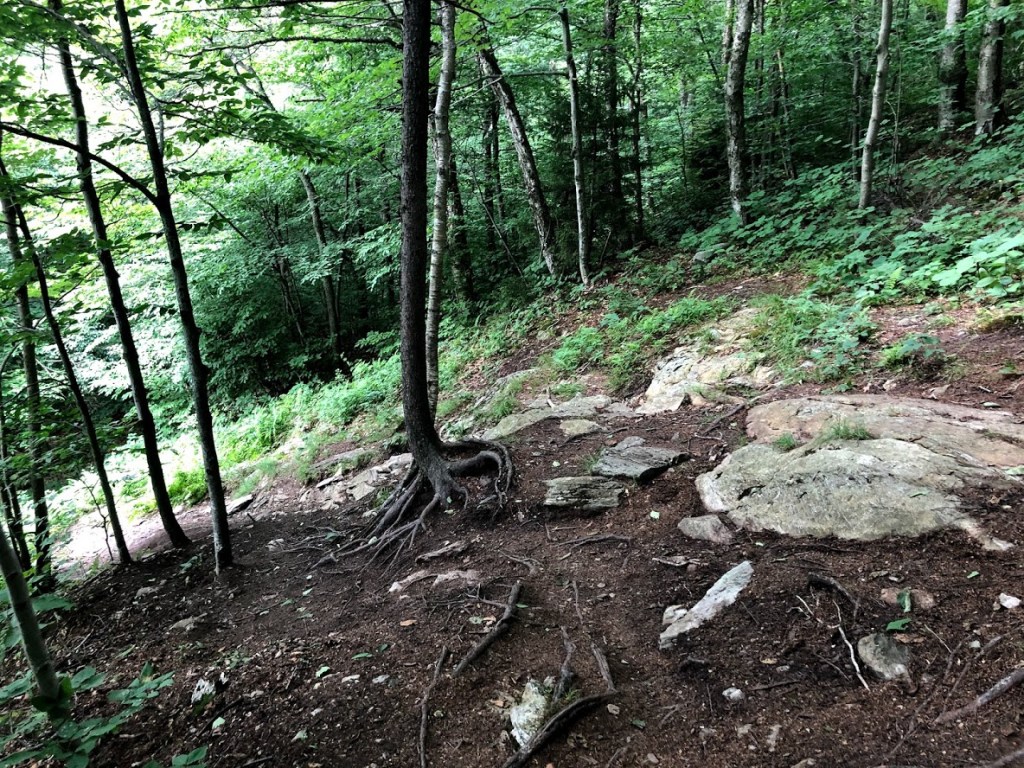
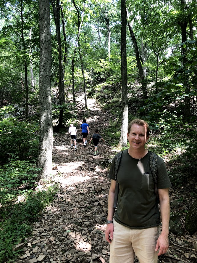
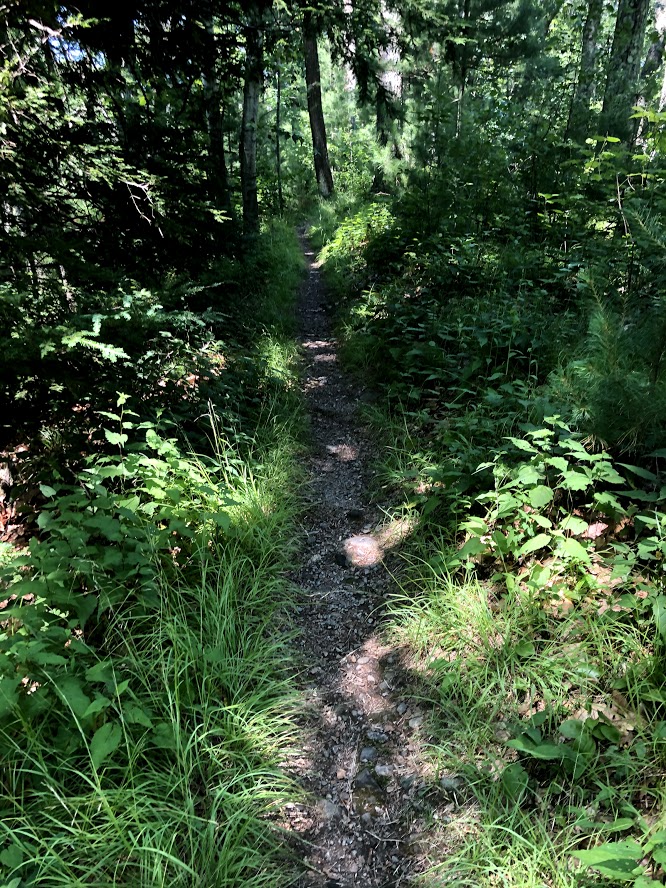
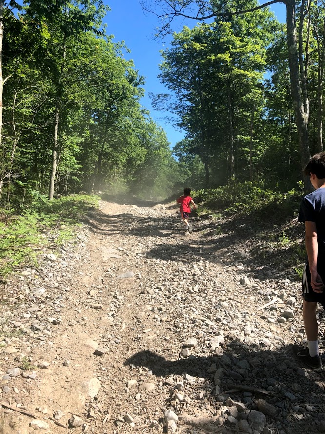
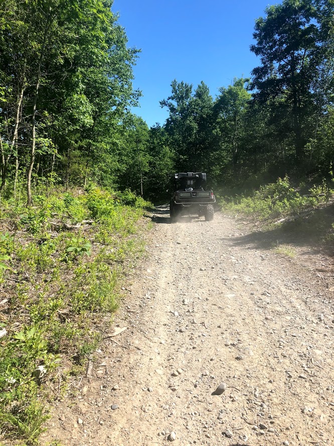
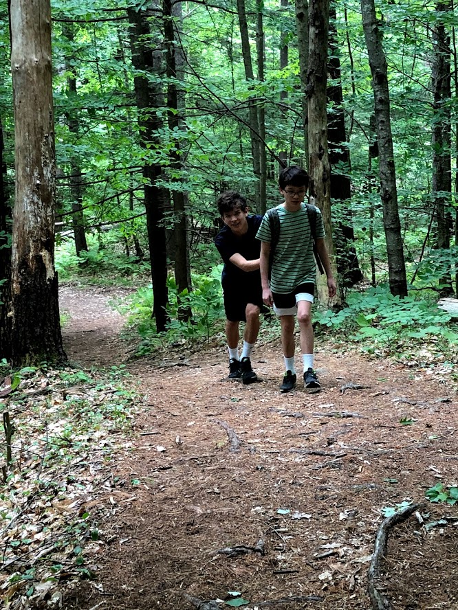
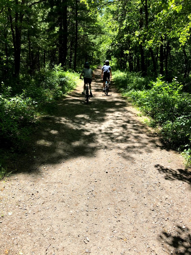
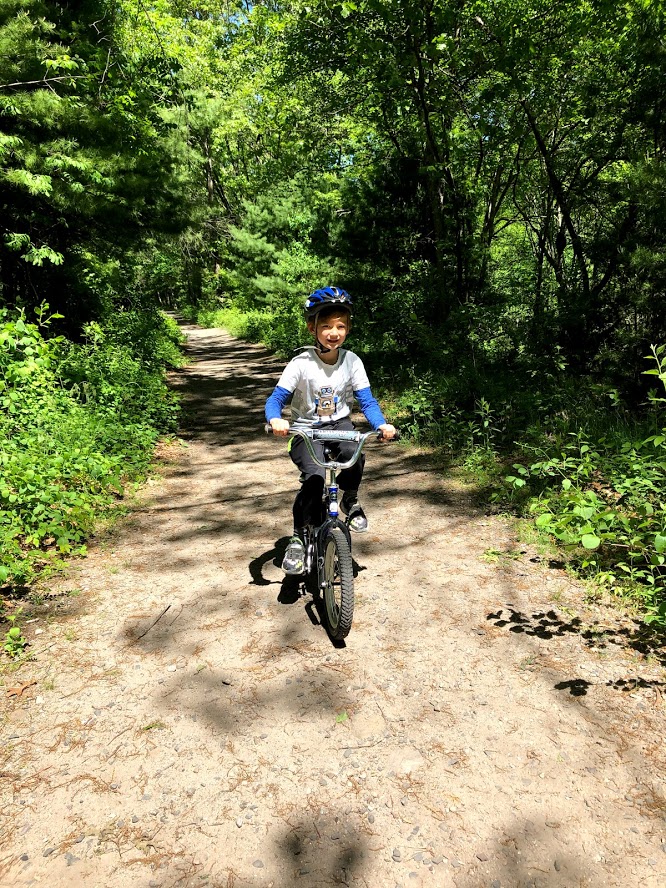
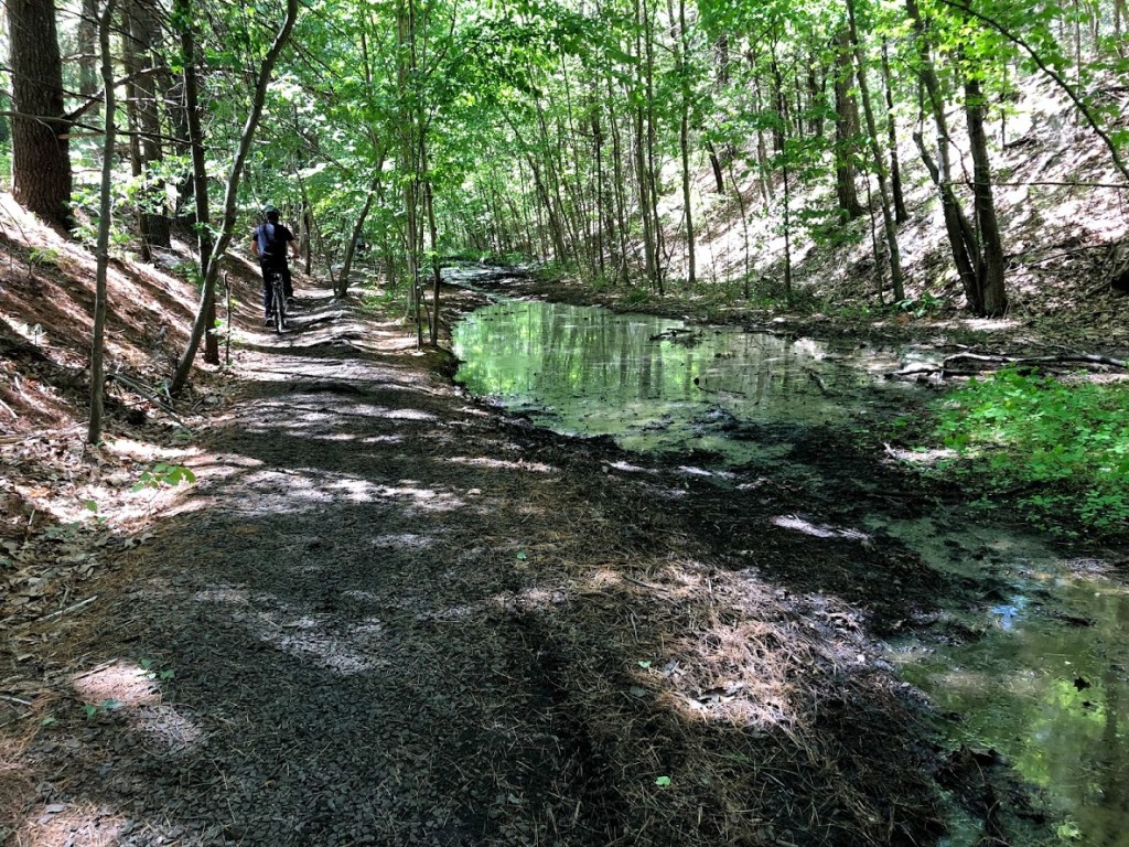
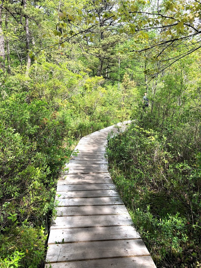
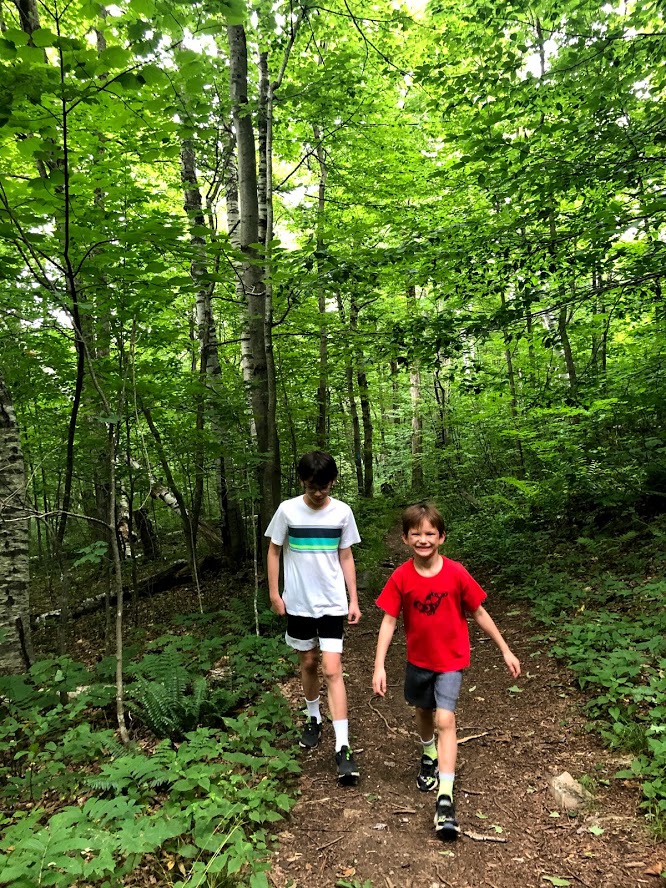
This trail is 3 miles roundtrip, and the first section is a flat gravel road to a powerline crossing, after which it enters the woods.
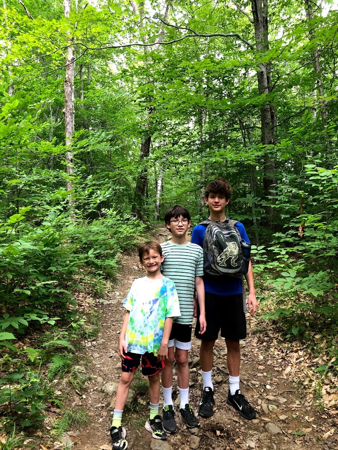
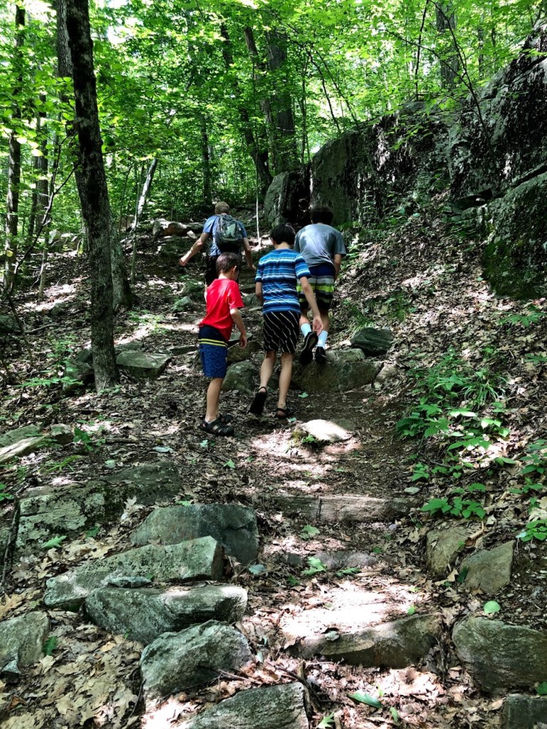
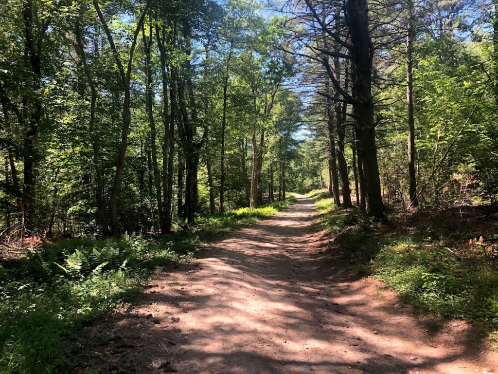
After entering the woods, the trail climbs only modestly.
The trail then turns south and climbs more solidly for the last 1/2 mile.
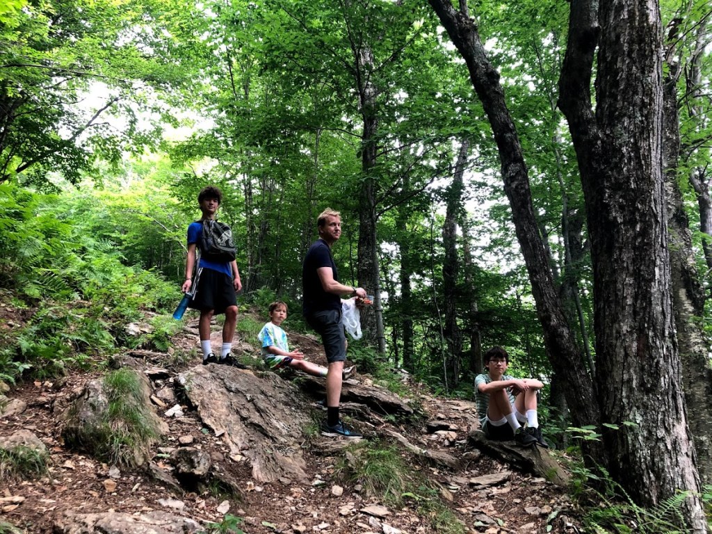
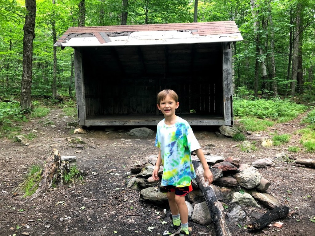
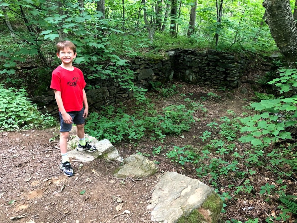
At some point we passed an old cellar, which seemed an unusual location, partly up the hill.
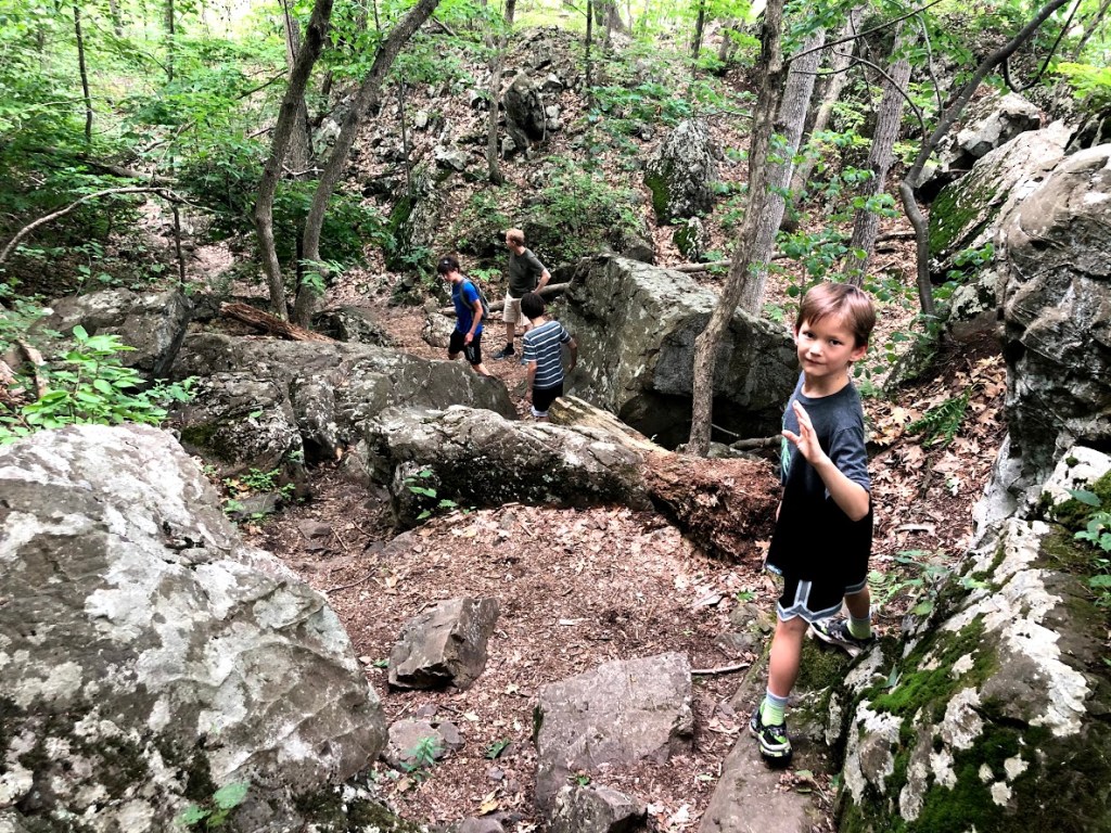
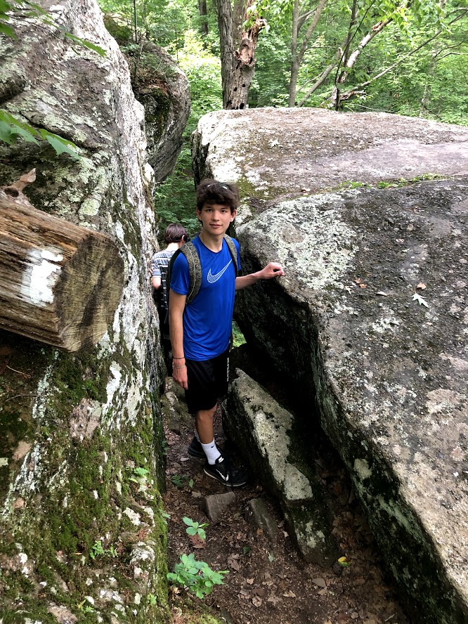
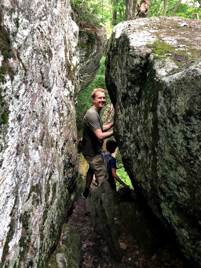
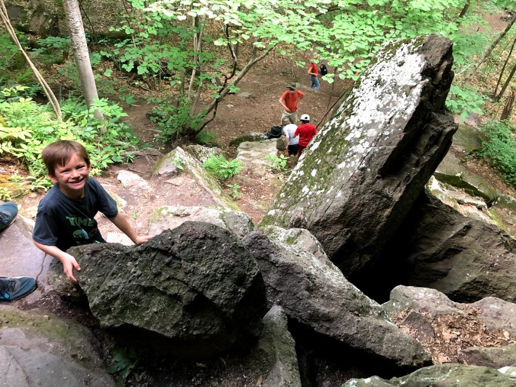
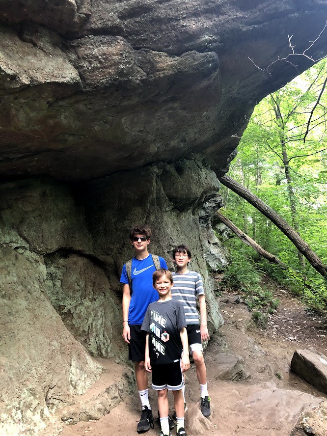
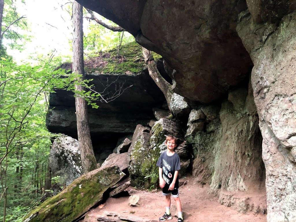
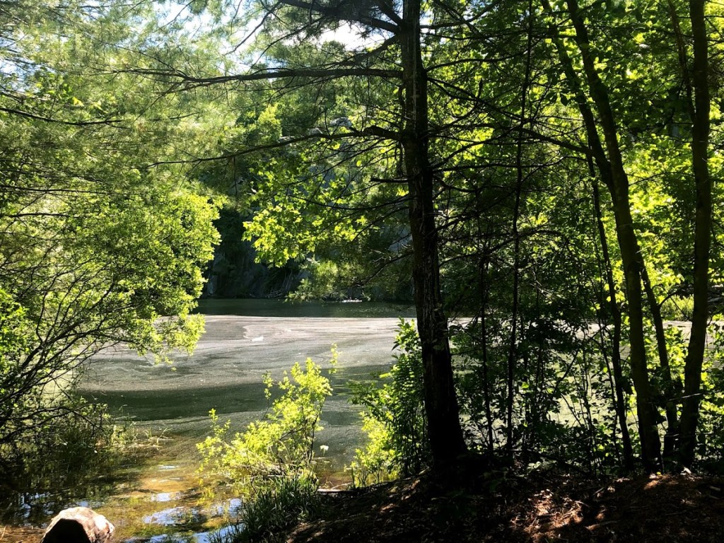
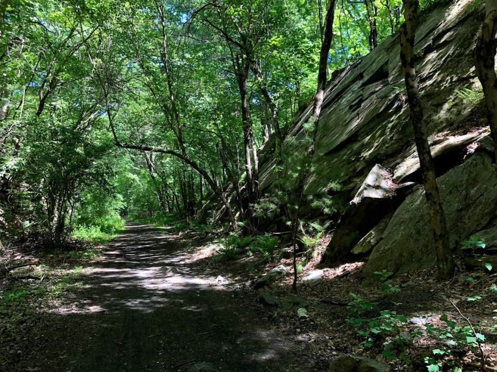
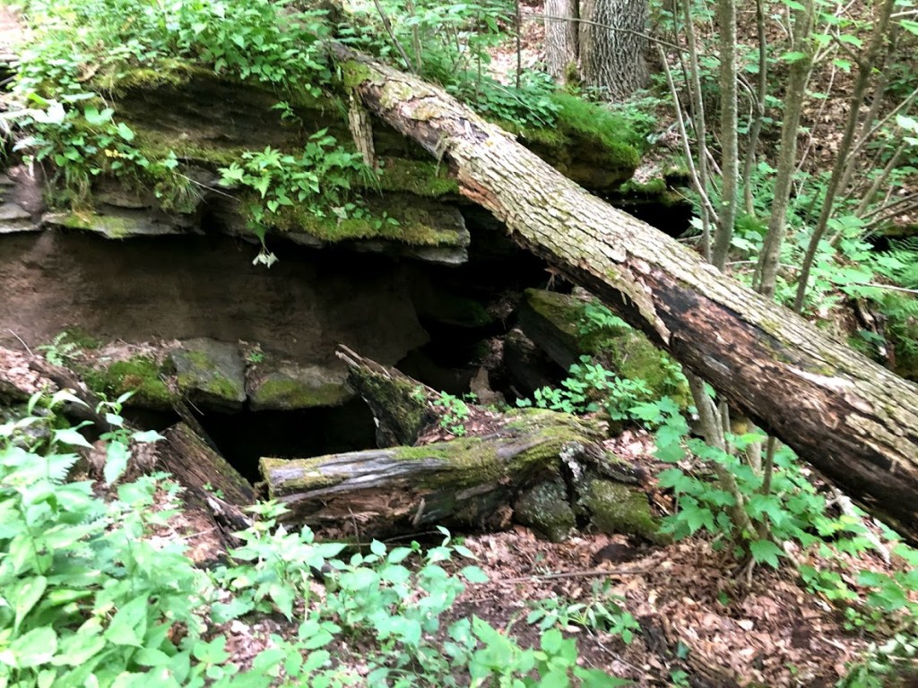
At another point, the trail has signs warning of dangerous ice, just above some “caves”.
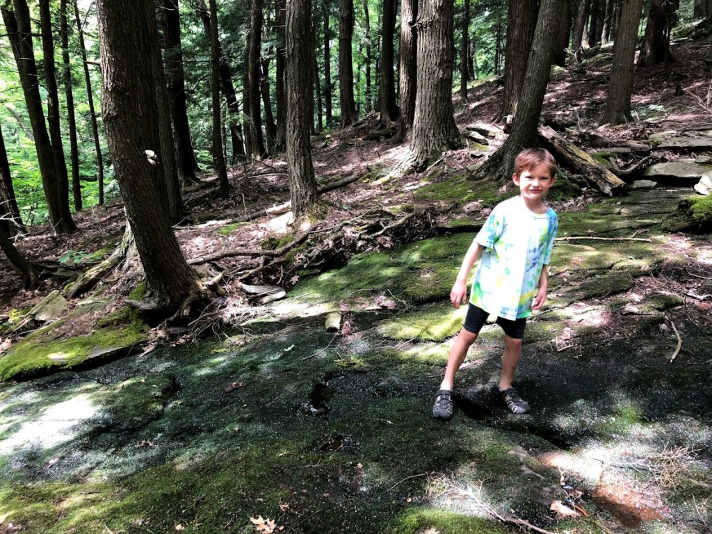
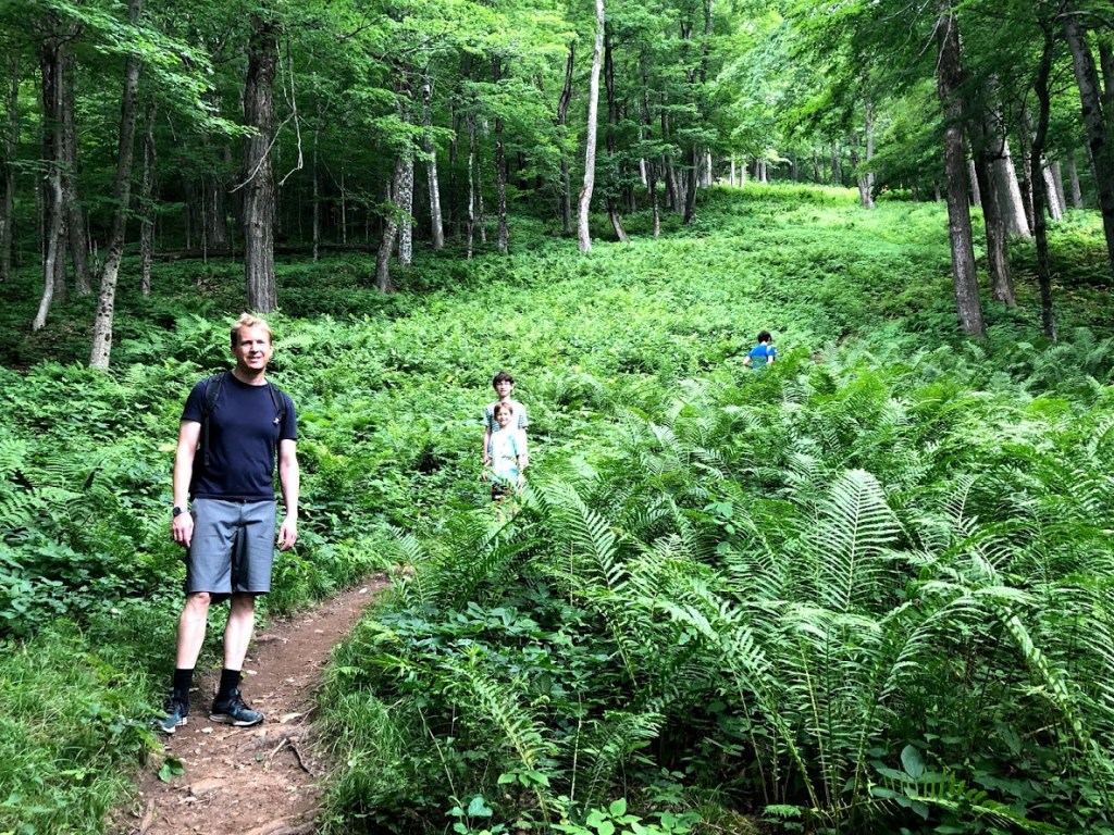
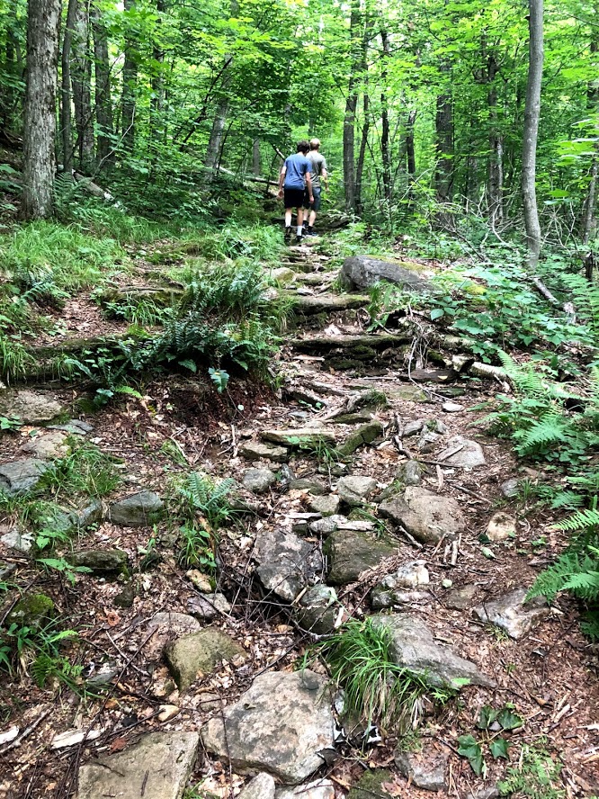
The last half mile was much steeper. We crossed over the trail to Lost Pond, which we didn’t visit. We had heard it was very difficult to follow and was washed out/moved by beavers. Hence the name “Lost Pond”.
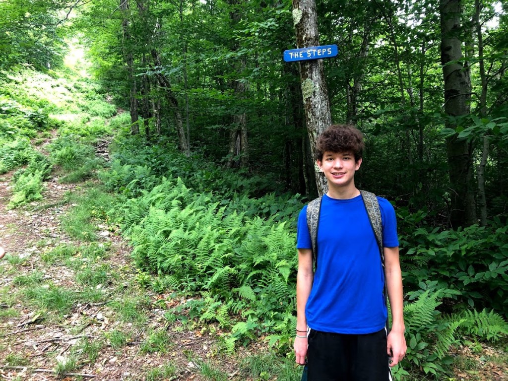
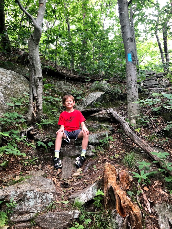
The last part of the hike had a series of rock steps up to the summit.
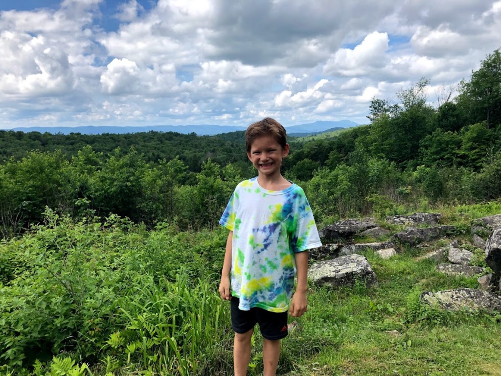
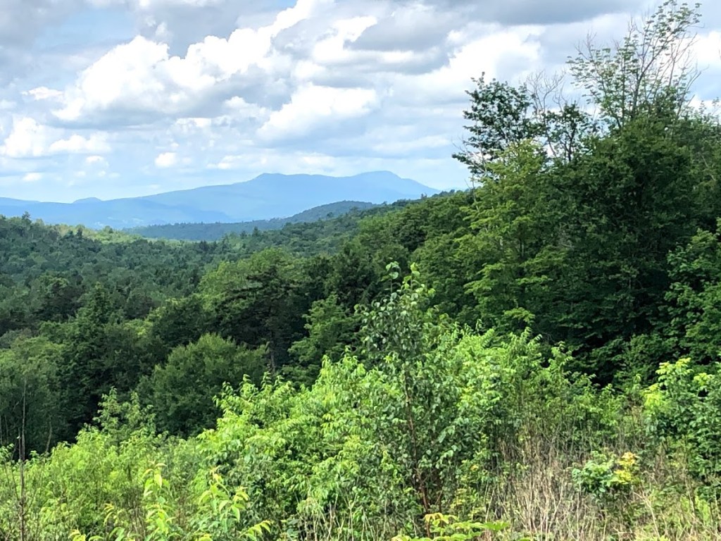
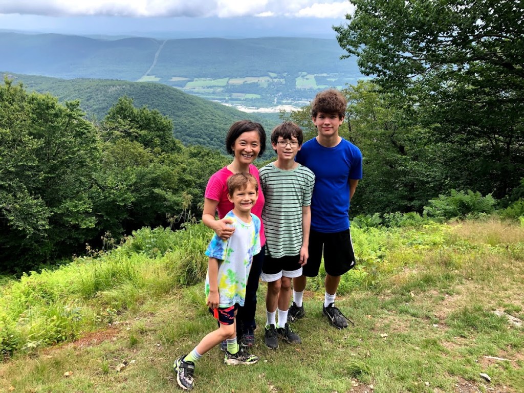
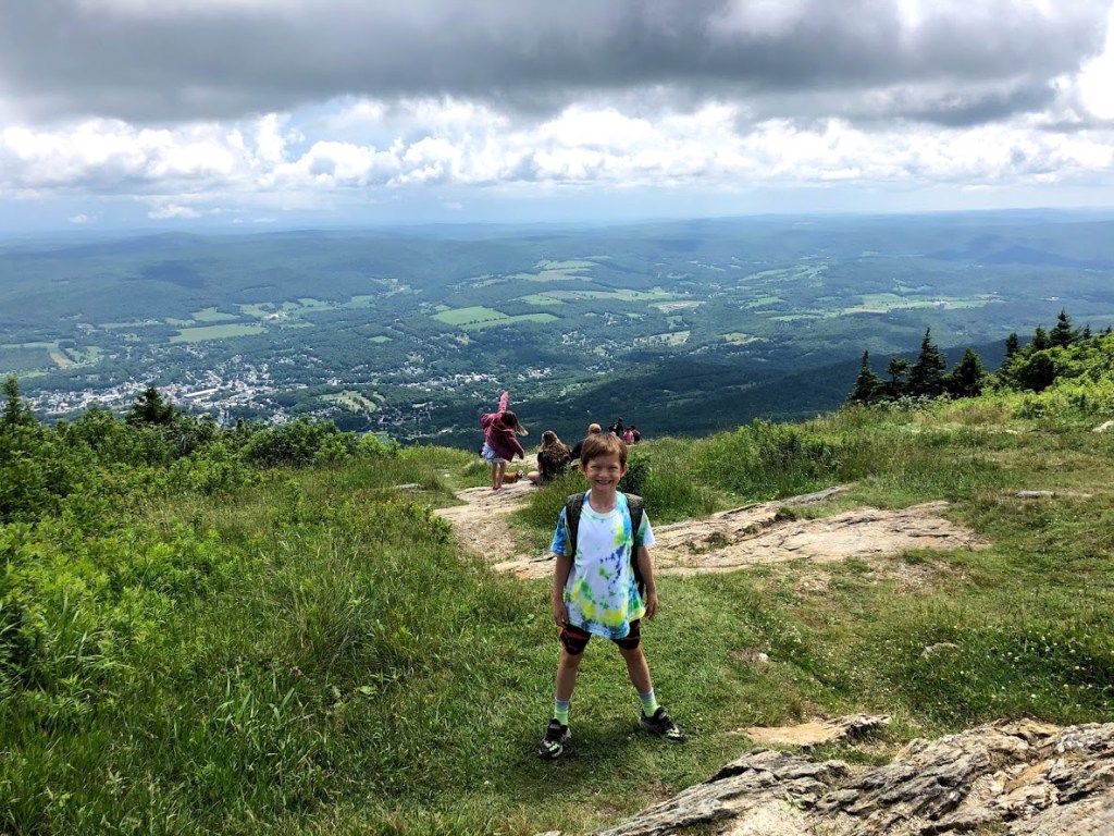
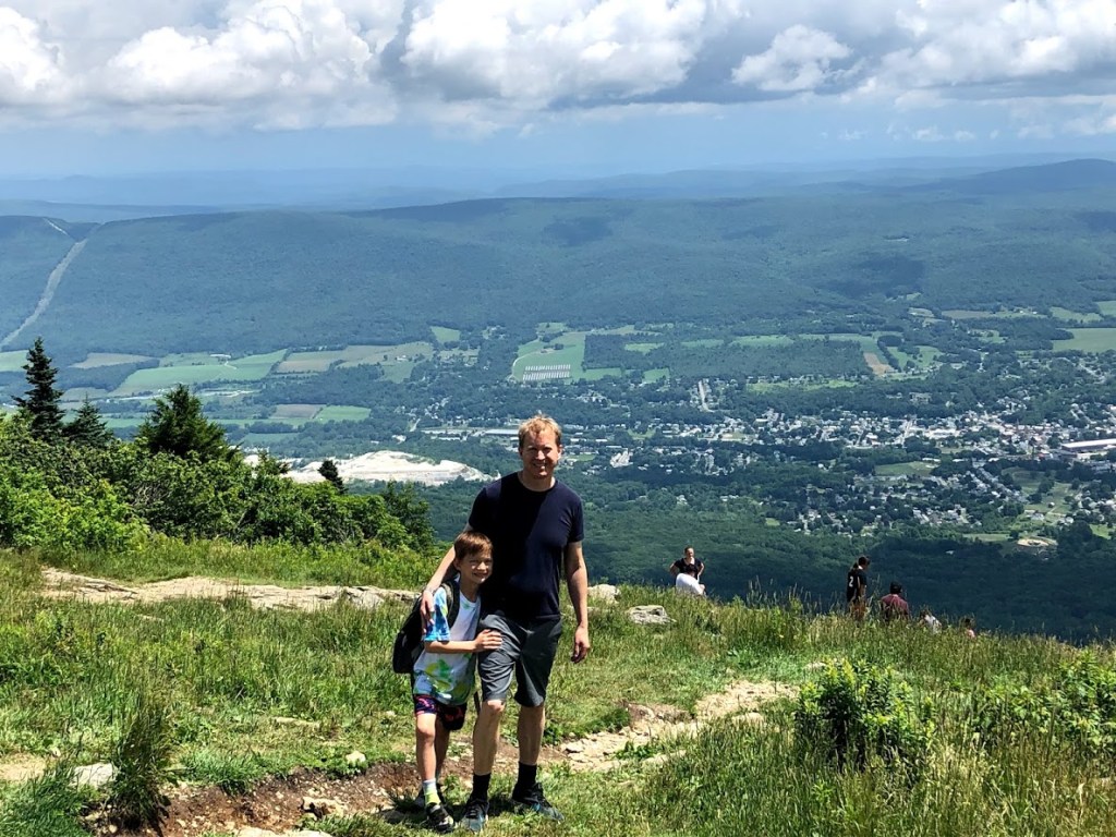
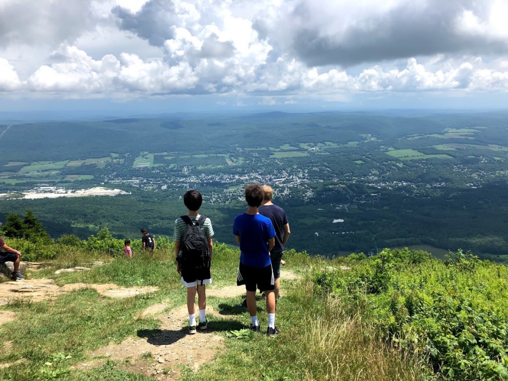
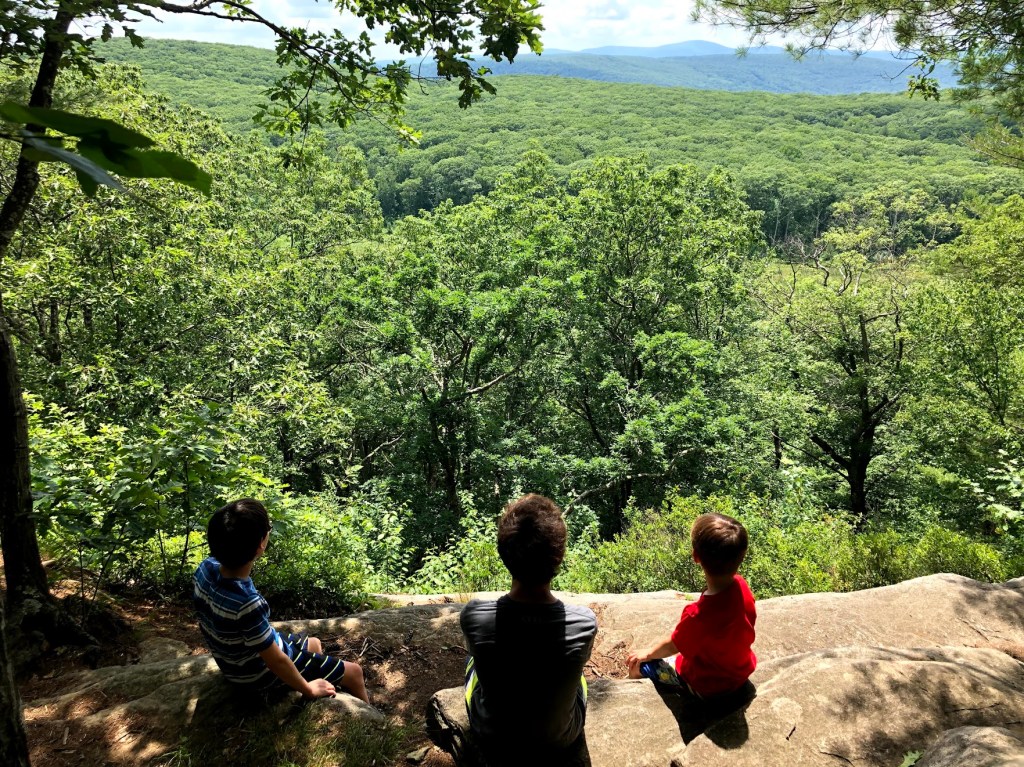
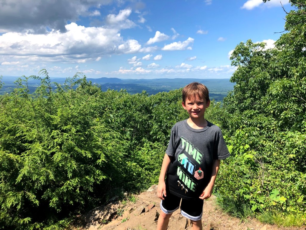
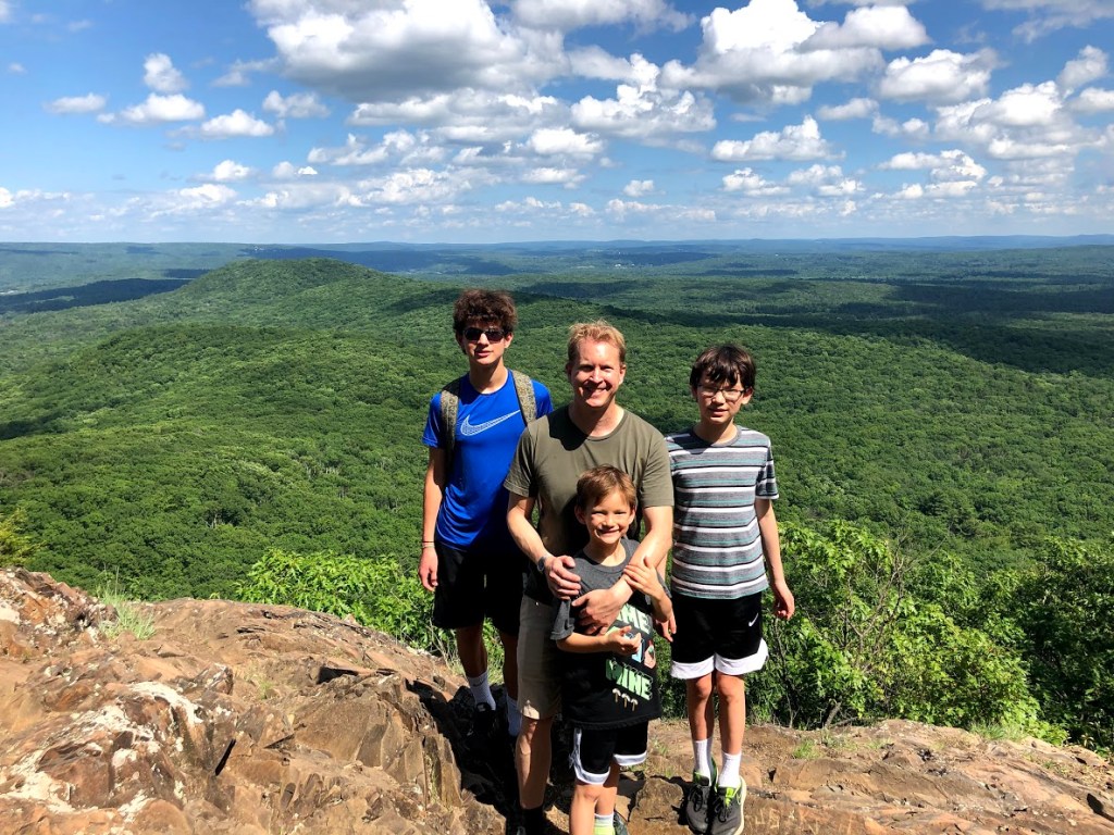
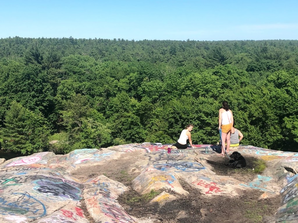
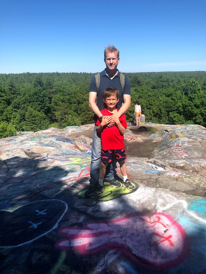
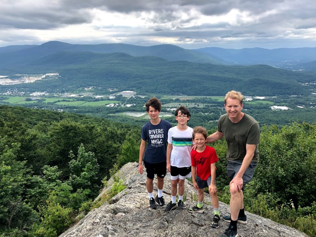
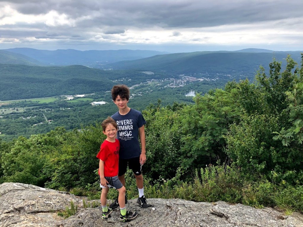
Finally we reached the summit (or one part of it). Even at this point you start to have some pretty expansive views.
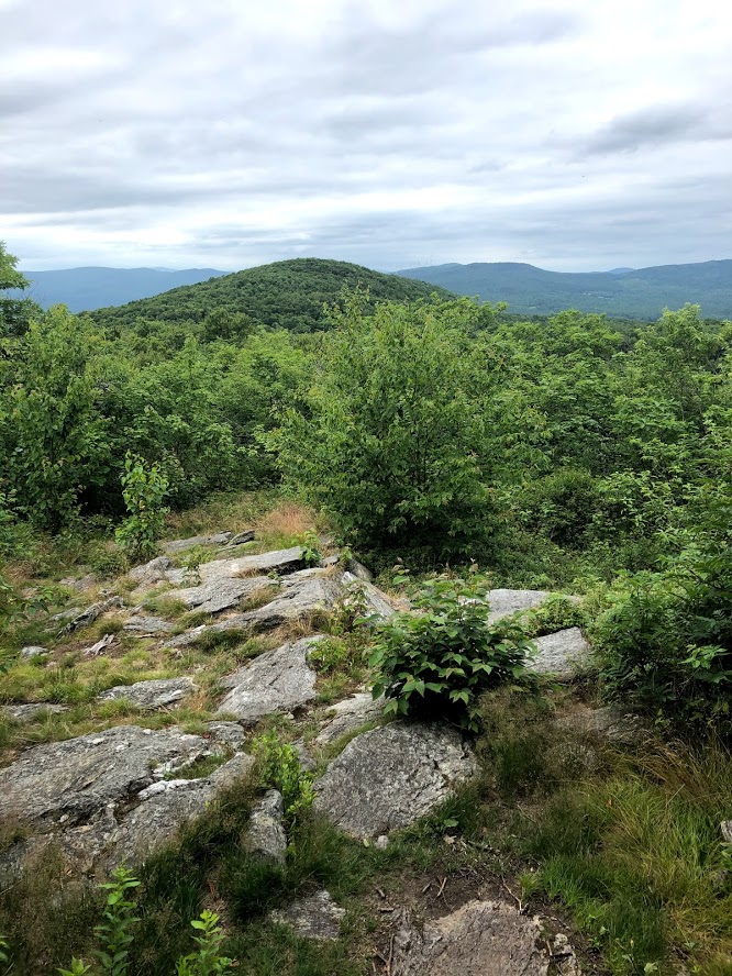
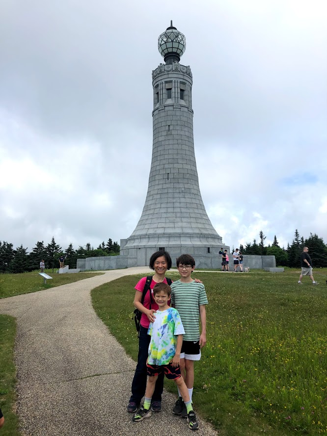
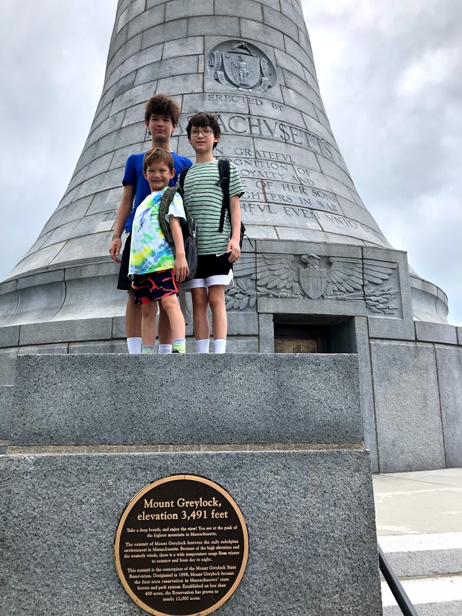
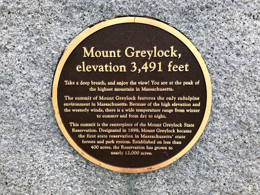
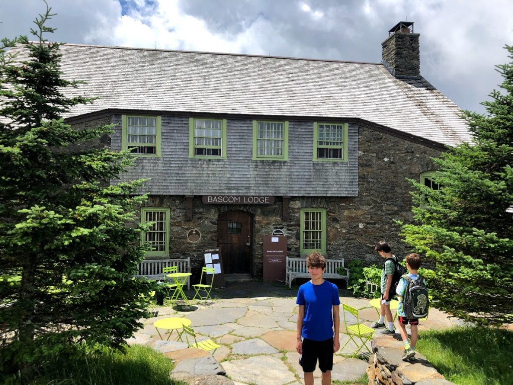
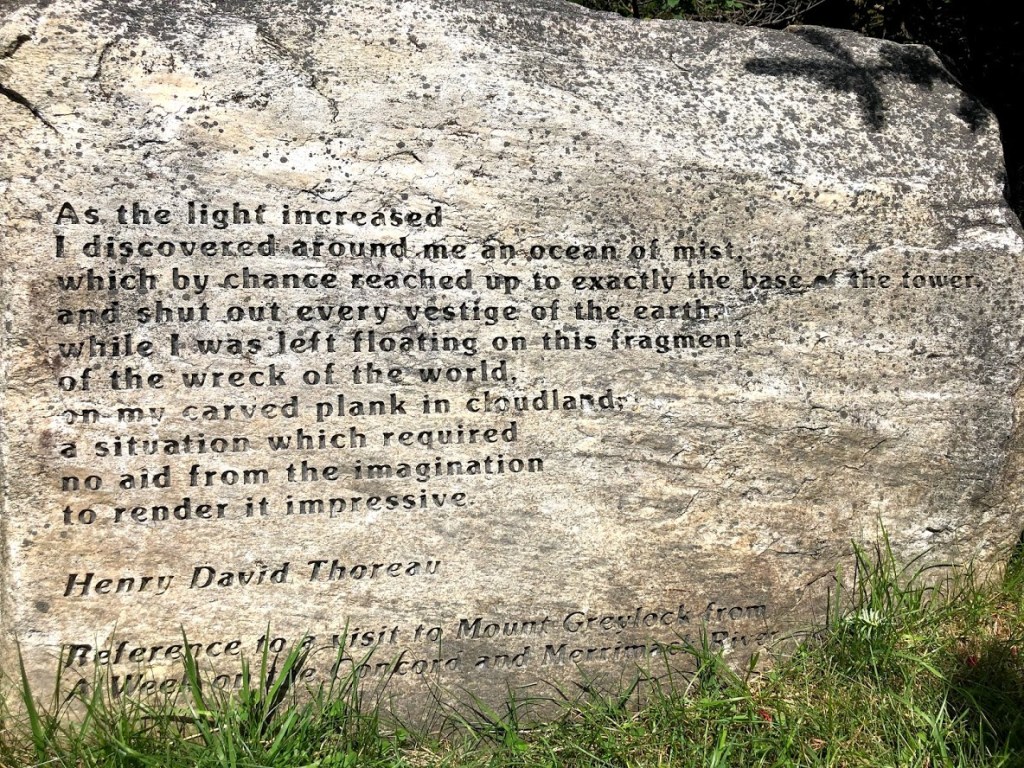
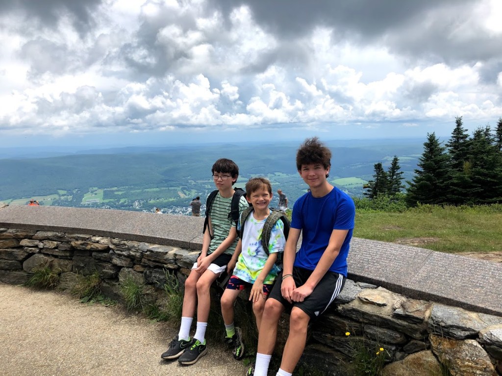
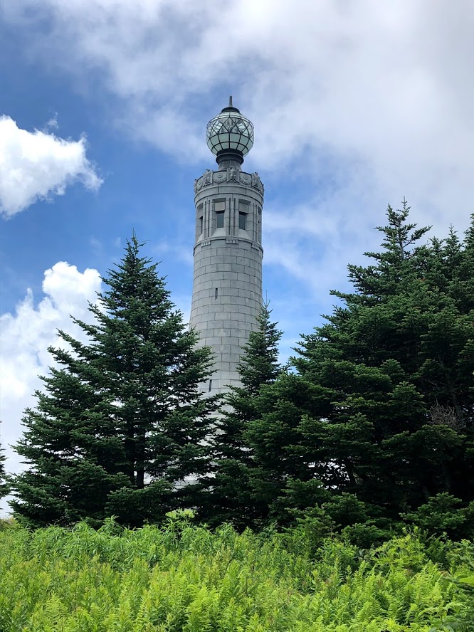
We then found a huge rock in a clearing, with fantastic views toward Mt. Greylock and the Taconic Mountain Range in New York state. Mt. Greylock is the high peak on the left side (at 3,491 ft), with the town of Adams and North Adams below it. You can even see the war memorial tower on the peak of Mount Greylock State Reservation from here. Really the views are nearly 360 degrees.
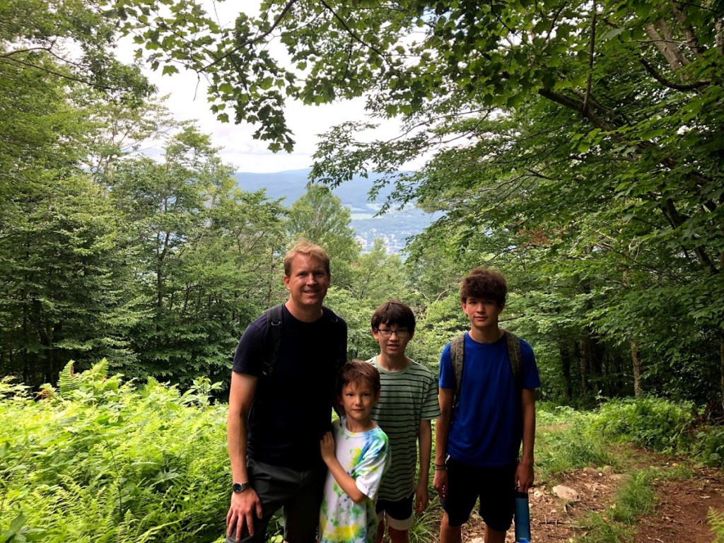
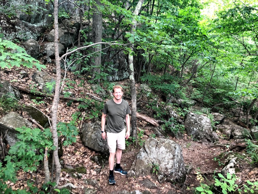
After enjoying the super views, we headed back down the Busby Trail to the car.
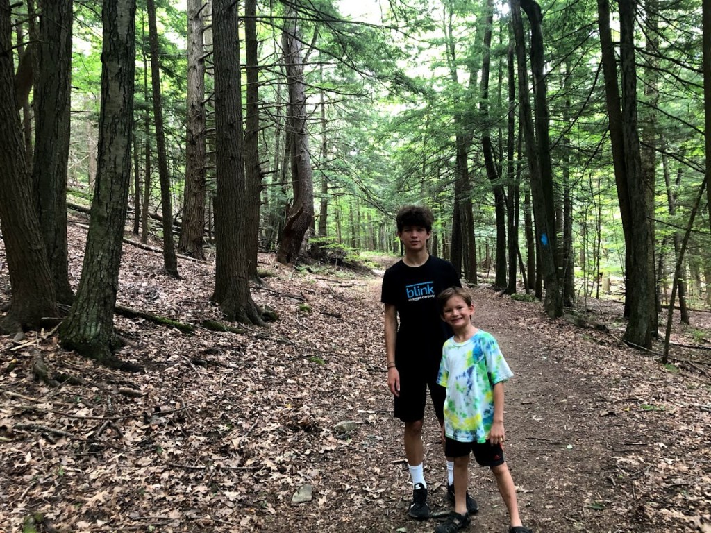
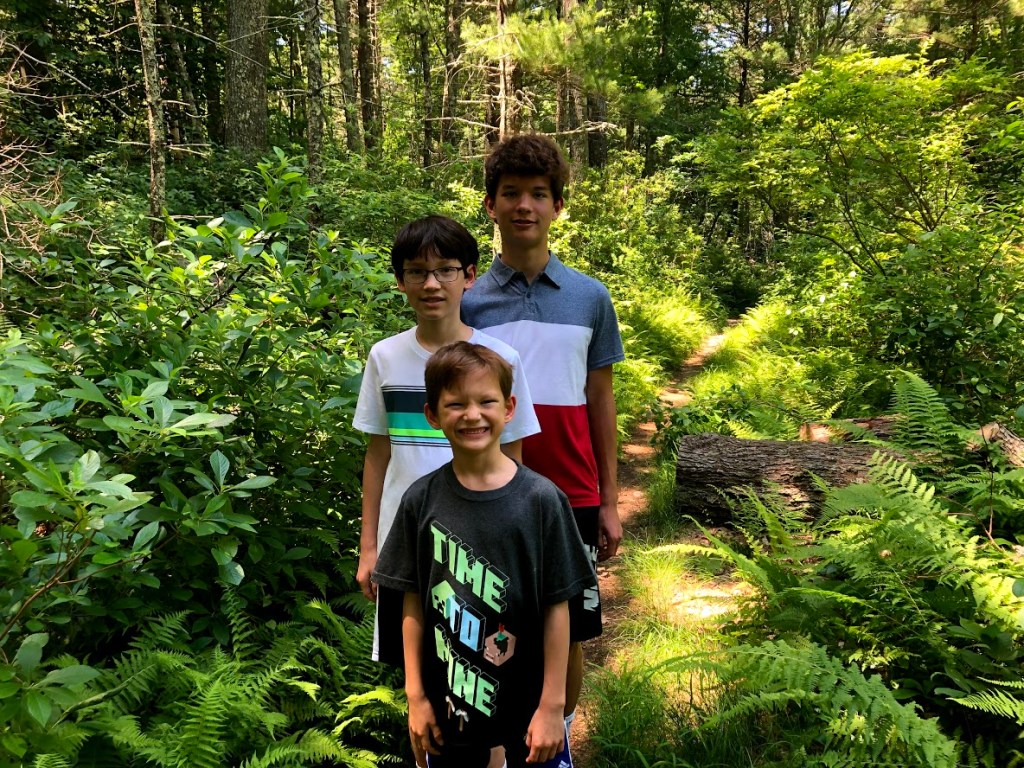
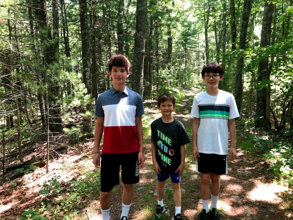
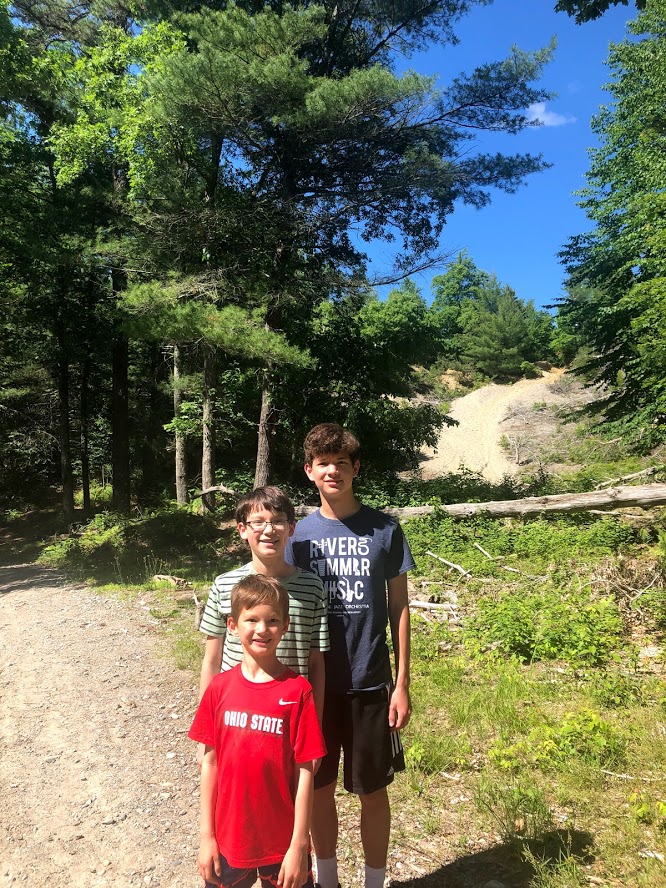
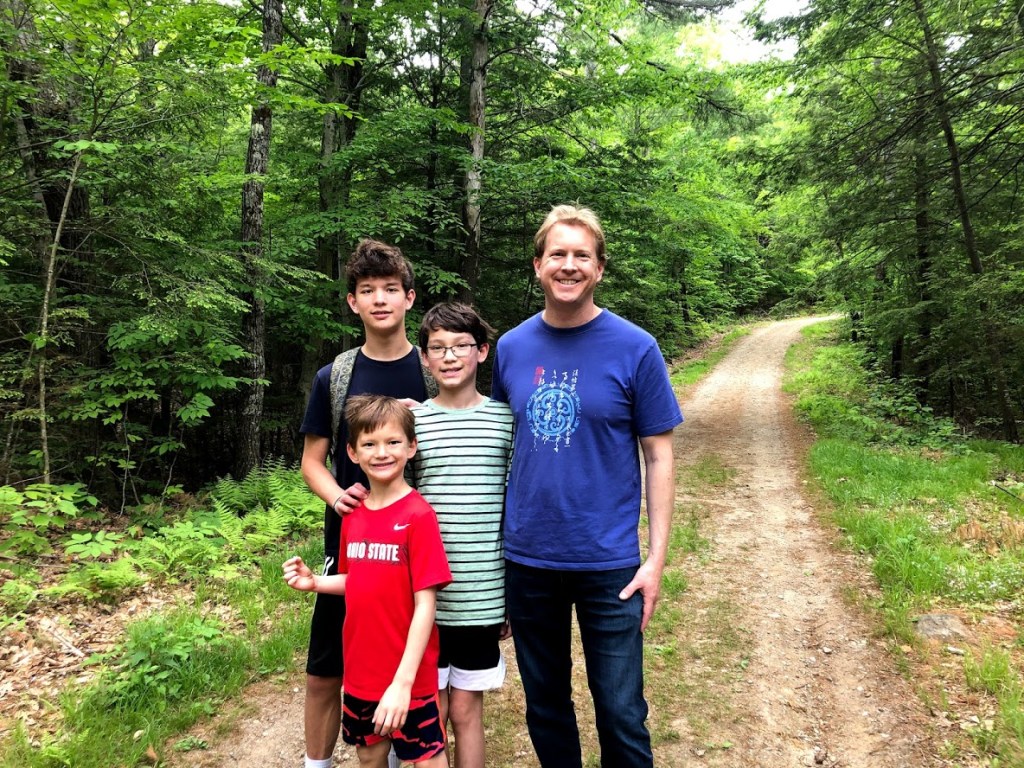
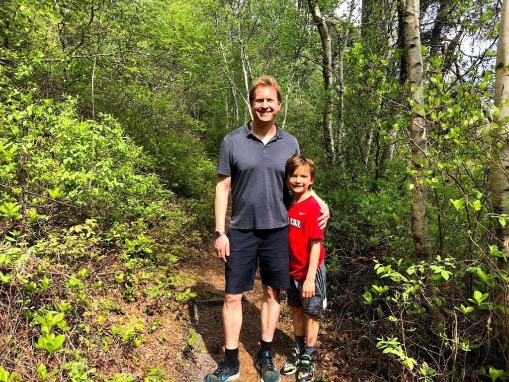
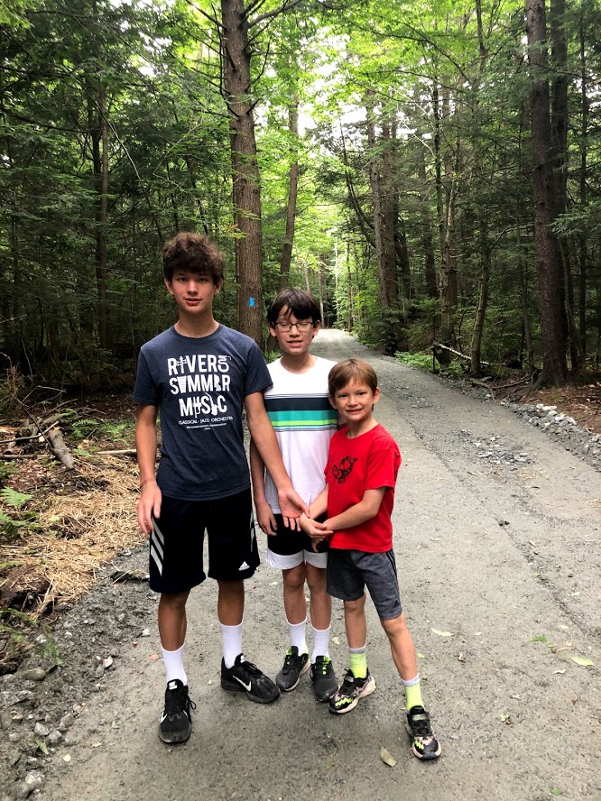
On this trail we saw only one other hiker and had the top to ourselves. The whole family really enjoyed Spruce Hill and agreed it provided big rewards for very modest effort.
 A rewarding view of the Berkshires for very modest effort. Great views of Mt. Greylock.
 This is a good short hike to a great view on top. A gem.
 The view was really good, we could see a cemetery and a quarry (plus a few irrelevant mountains).
  The hike was not to long and the view was really good.
  When you go up the mountain there was a bench and we had trail mix at the top and the view was really good so it was fun.
For more information: Savoy Mountain State Forest official site.