May 3, 2020 Sunny
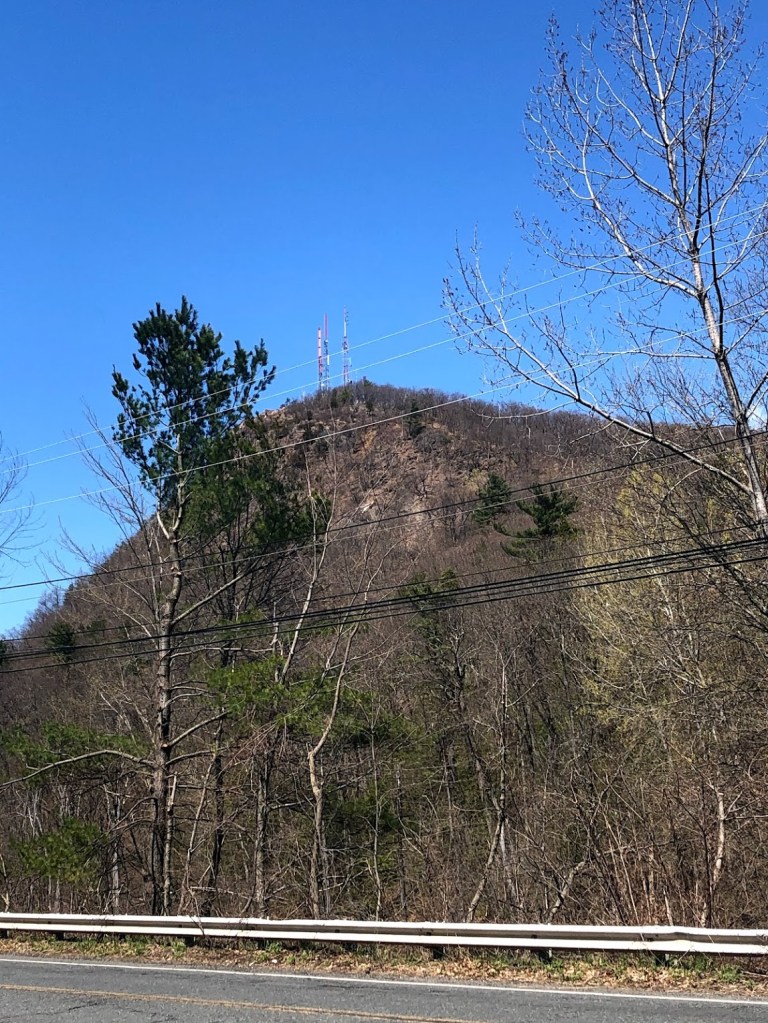
Mount Tom State Reservation encompasses the Mount Tom Range and is located in the Connecticut River Valley in Holyoke, north of Springfield. The mountain has many trails. We started out on Rt 141 (Northampton Road), and took a steep but direct route up to the summit.
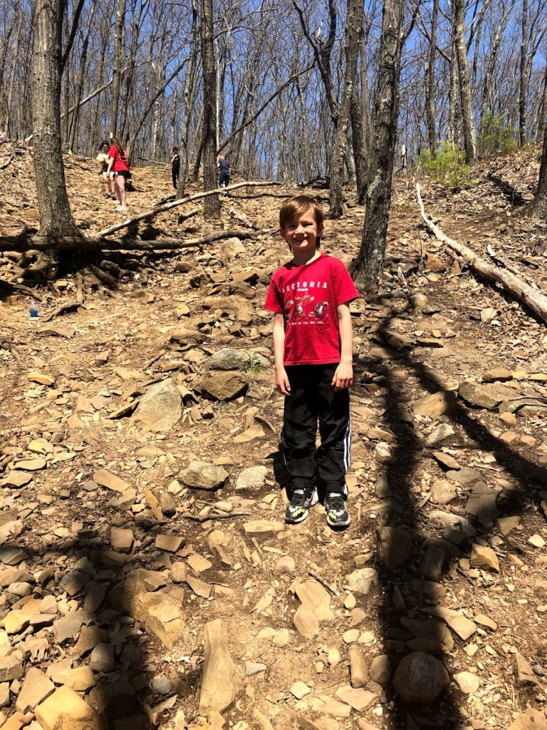
The trail we took was about 1.2 miles round trip, and we would gain over 600 feet of elevation. So soon after we entered the woods, we began a steep and relentless ascent. The well tread trails were very popular and quite crowded. About half way up the mountain, there were loose rocks on the trail and we had to watch our footing.
We started having great views of the Connecticut River Valley almost immediately.

There were various structures on the peak, including several cell towers and the ruined foundation of a Summit House constructed in 1897 and burned down a few years later.
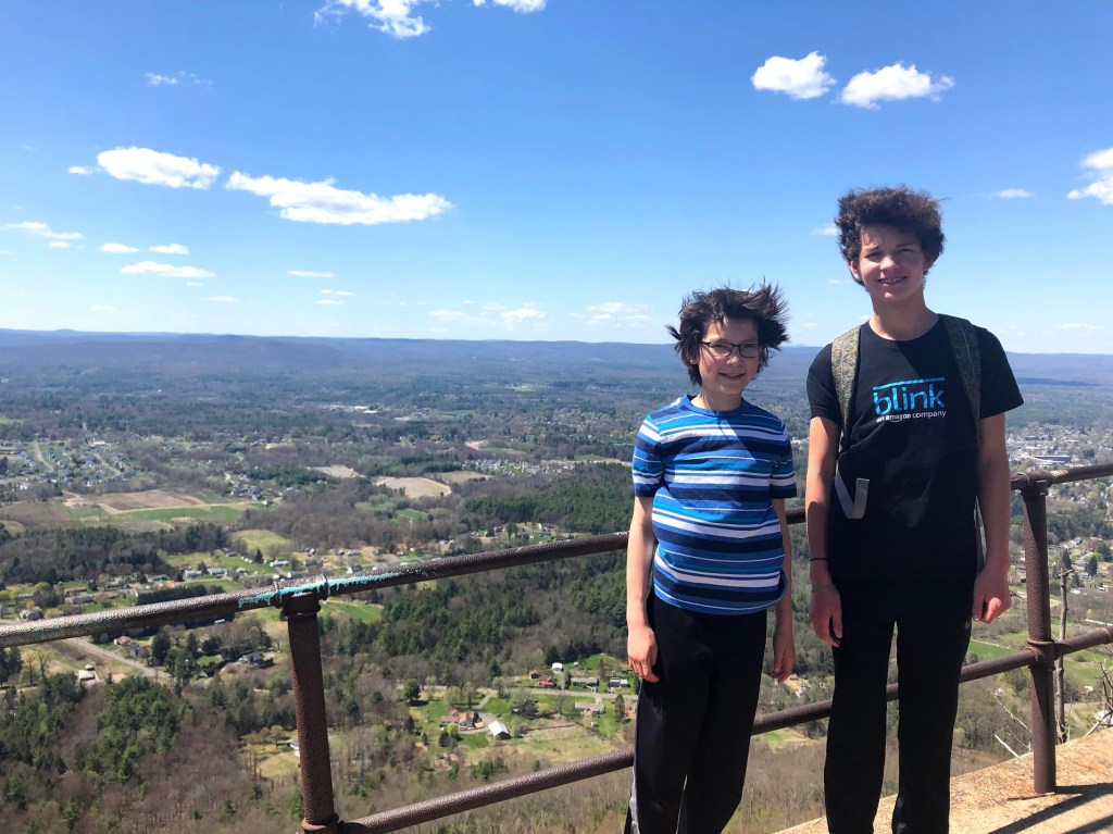
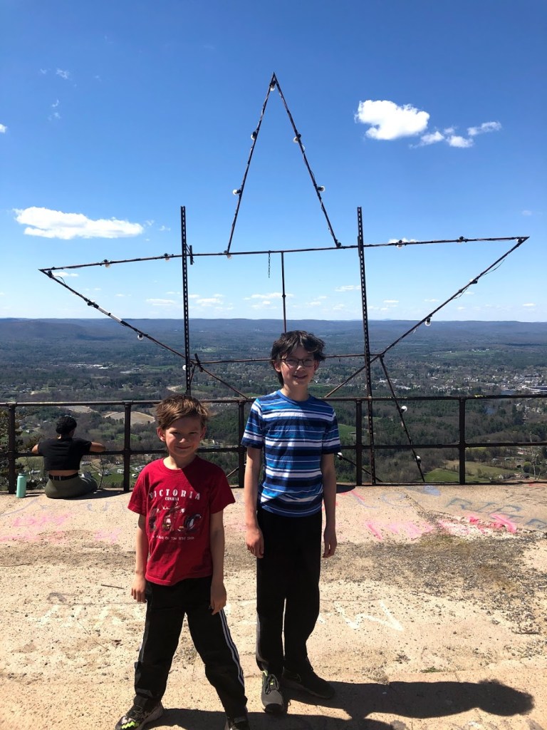
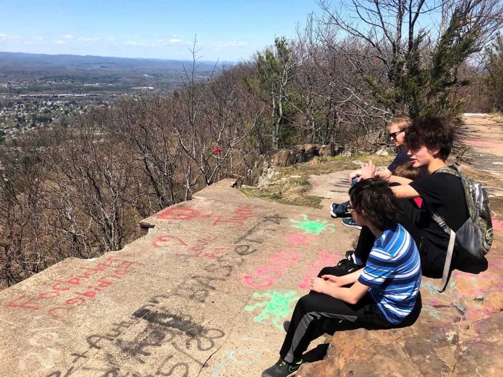
The views from the peak was expansive. On the day we went, Mount Greylock was visible in the distance. We could see the Summit House on Mount Holyoke, the same one we visited in Skinner State Park. There was a lot of graffiti on the ground all over, and a large star that probably light up at night.
We rested and enjoyed 360-degree views.
The hike was challenging, and we were out of breath almost the whole way. But it was short and the views made it well worth it.
 I enjoyed this short, rocky trail to a scenic view of central and western Massachusetts, but the radio towers on the mountain top detract somewhat.
 This was a short steep hike, but very satisfying. Good views at the top.
 It was pretty funny when some graffiti near the edge of the cliff said to jump and Ryan actually tried it… but otherwise too rocky for my liking.
  It was very, very steep but the view was good.
 Very steep pretty sunny also the view was good. And tiring.
For more information: Mount Tom State Reservation official site.

Scaling the north face looks like a real challenge.
LikeLike
looks super strenuous!
LikeLike