Houghton’s Pond Recreation Area

December 8, 2019 Cloudy

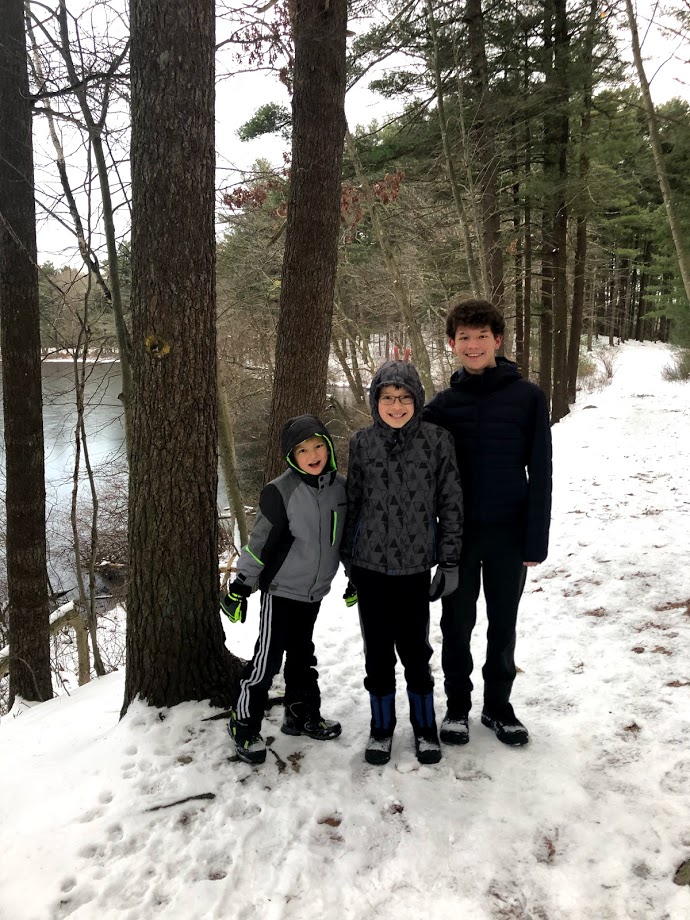
Houghton’s Pond is part of the Blue Hills Reservation. We used to come here in the summer to swim. The pond has good facilities, life guards, and is very popular with families. This time we chose to experience it in the winter.

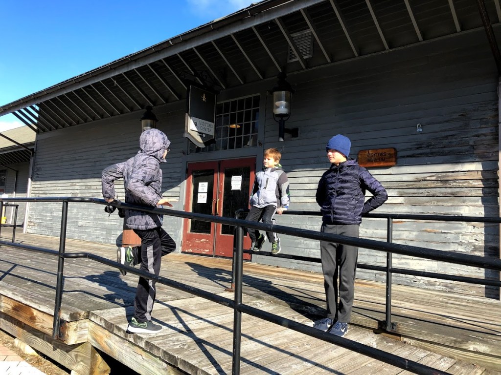
Even on a cold day, we were surprised at the number of cars in the parking lot. We started at the visitor’s center where there’s a playground. We even saw some kids playing on the structures in the snow.

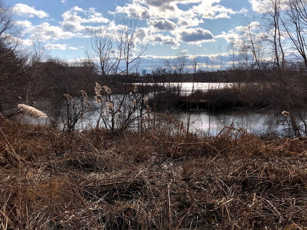
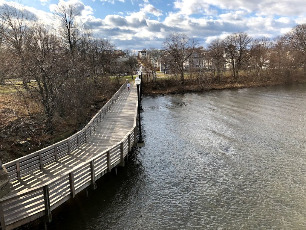
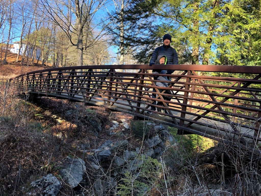
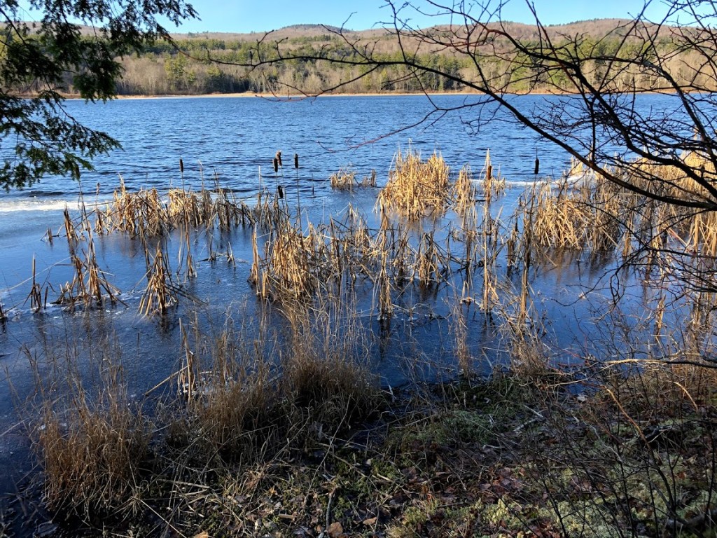
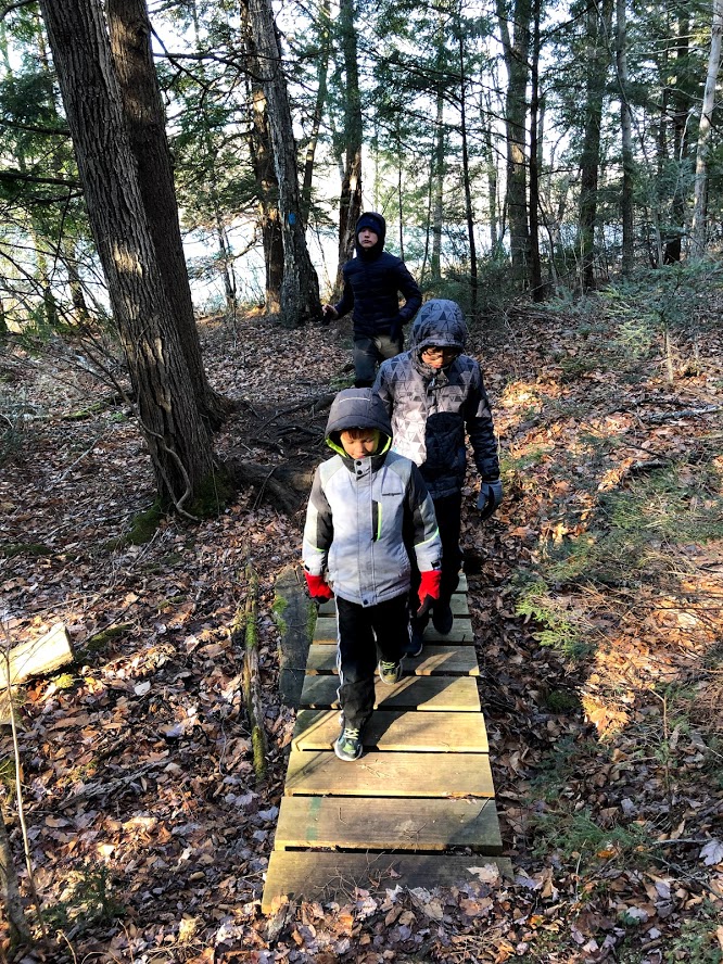
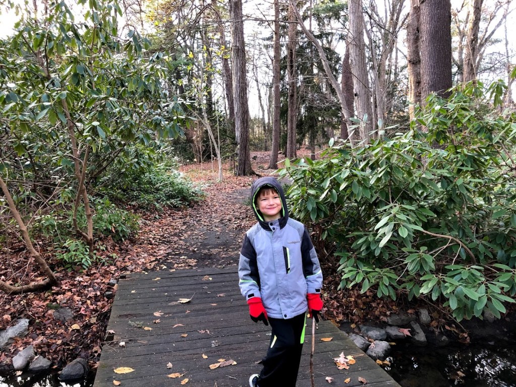
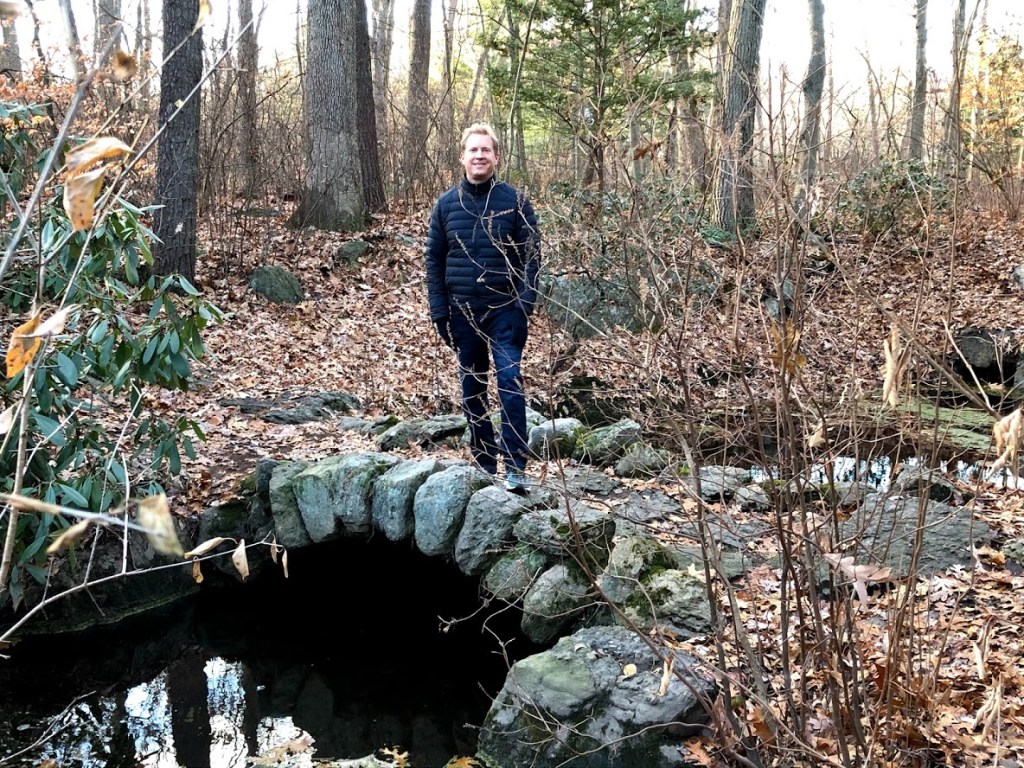
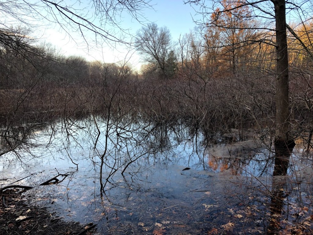
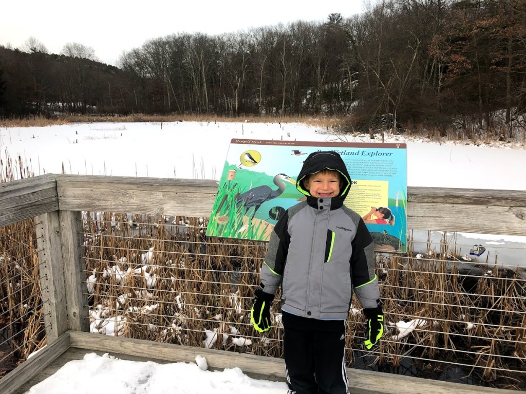
We passed by a boardwalk and a lookout area for wetlands wildlife observation.

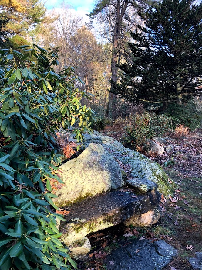
The trek around the pond was quite slippery, but very level and for the most part close to the water. On one side of the pond was the beach, and a large clearing with picnic benches and grills. The other two sides were more wooded.

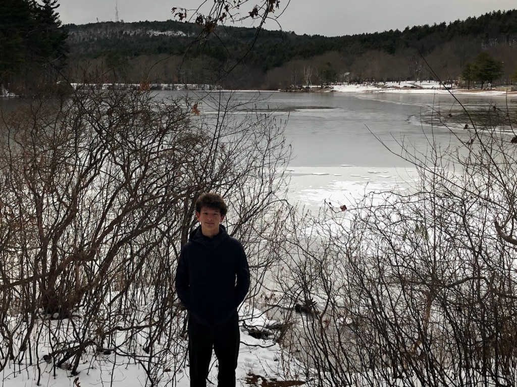
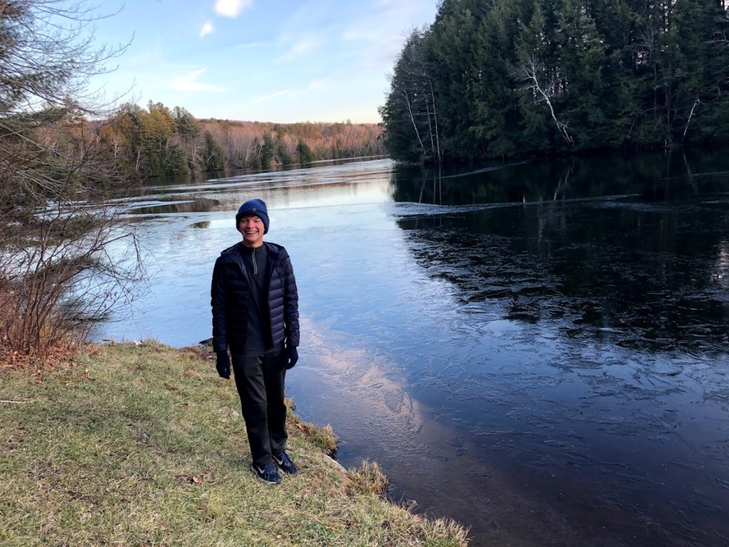
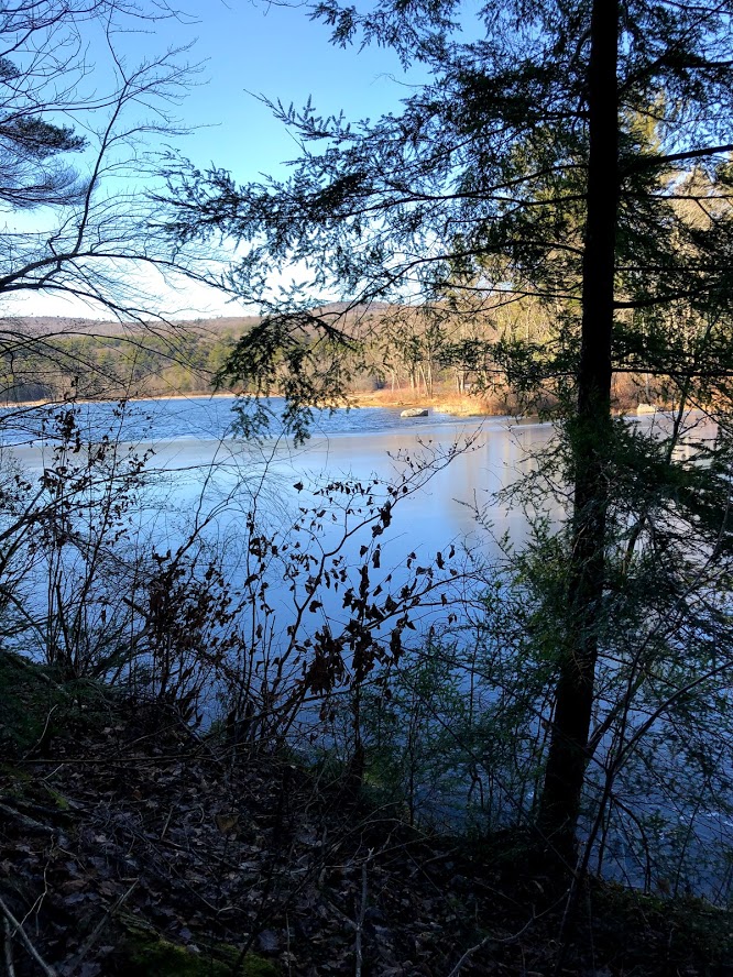
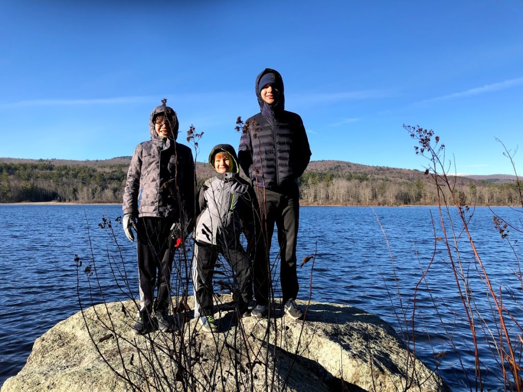
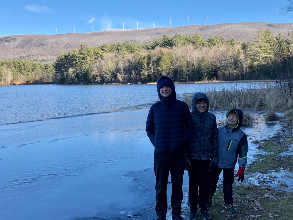
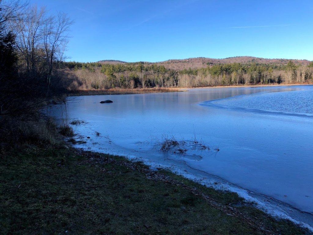
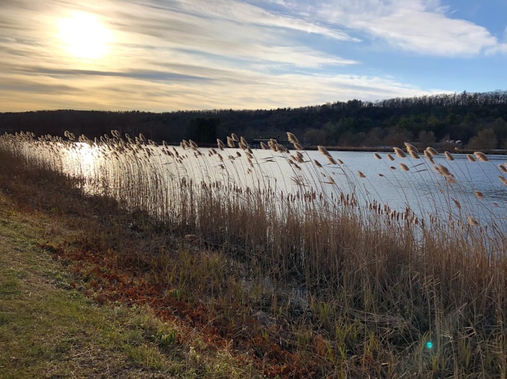
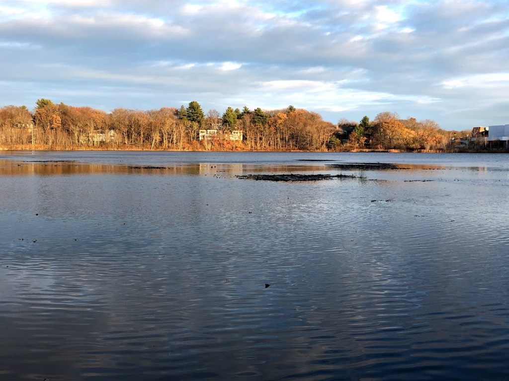
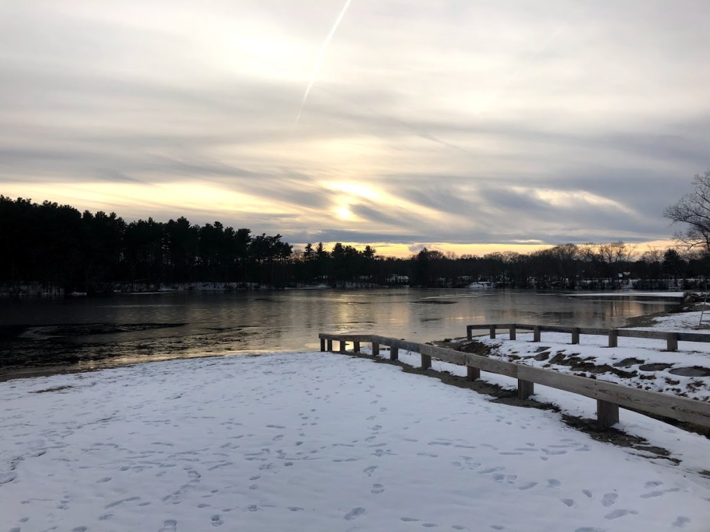
There were good views across the pond to Blue Hills in the distance. In the summer, the views are blocked by the trees, and the crowds can be loud. But in the winter it was very peaceful.

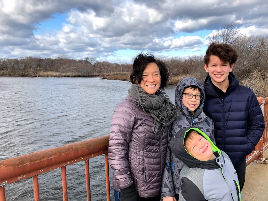
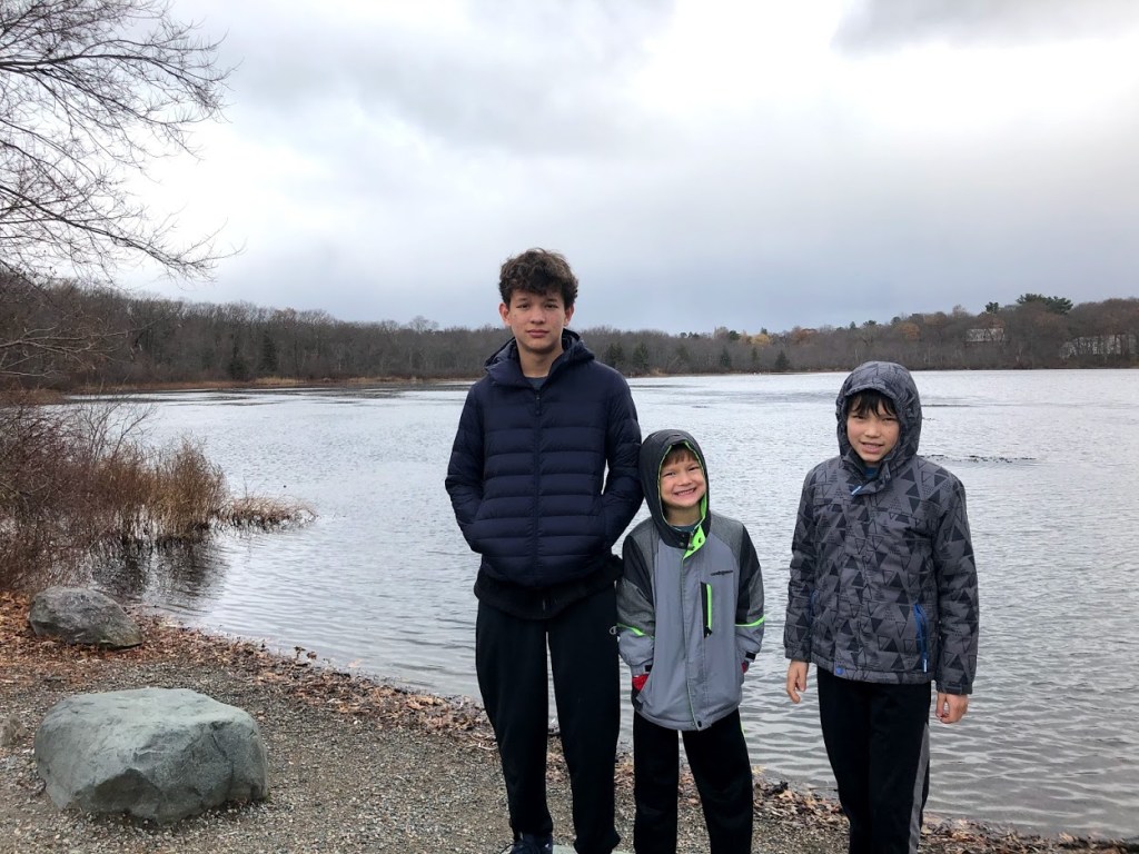
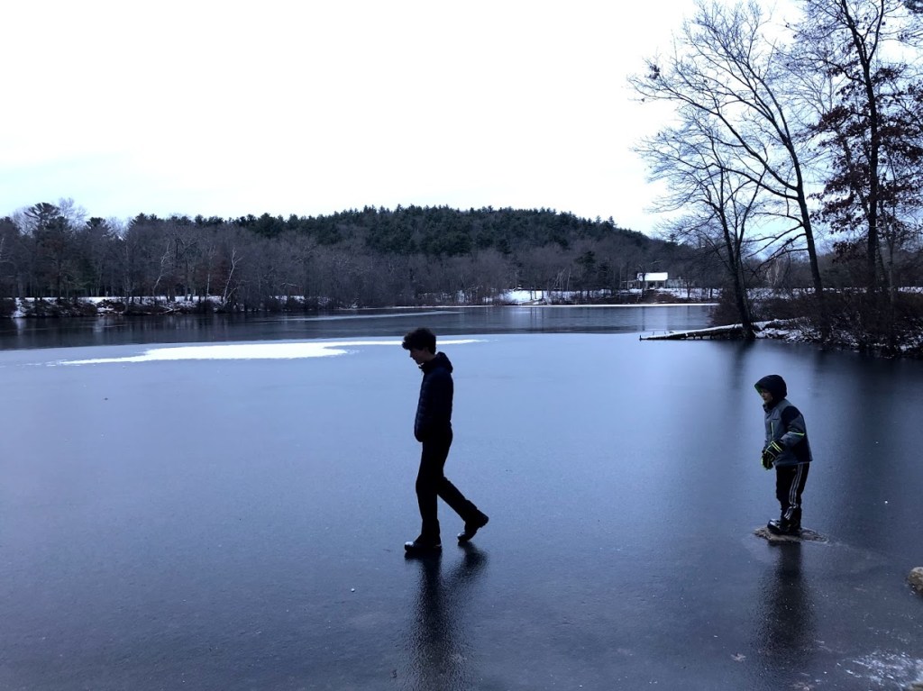
The water close to the shore was mostly frozen solid, so the kids had a lot of fun walking and sliding on ice. We found many places that the kids could play safely. They had a blast.

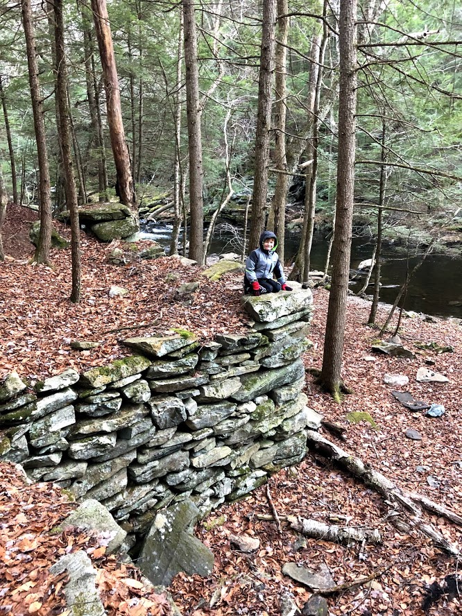
With the right gear and warm coats, walking in the woods in the winter in New England can be peaceful, quiet, and fun.

  • This is a great swimming spot in the summer and has beautiful scenery in wintertime but the peaceful setting is marred by the highway noise.
  • The pond has good facilities for swimming. The trail is easy. The views of Blue Hills are beautiful. But you can hear the highways.
  • Liam never got his foot wet. That’s a fringe conspiracy theory. Instead, Liam had a grand ol’ time playing on the ice with his brothers.
  • I liked sliding on the ice and the trail was very wide.
  • I liked sliding on the frozen water. I super-duper laughed when Liam got his foot wet.

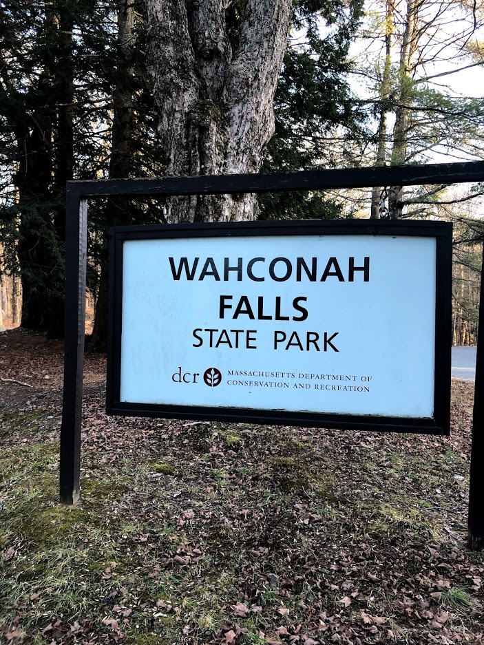
For more information: Houghton’s Pond Recreation Area official site.

Mystic River State Reservation

December 15, 2019 Cold

The Mystic River State Reservation consists of 4 different parks along the Mystic River near Boston. This review covers the Torbert Macdonald Park, off of I-93 near Assembly Square. It was constructed in the 1970s and has a rolling landscape with more than 1 mile of trails.

The trail meanders through a marshy area with view of the Boston skyline to the south, and then follows the river.

To enjoy a longer loop we crossed the Fellsway to the opposite side of the river and then headed west along the shore so we could survey the park.

A boardwalk passes under the roadway and provides access to the shore path and neighborhoods.

Continuing along we passed a boat rental and then the path was squeezed by I-93 to the west and the river to the east. Apart from the road noise it was a pretty scene.

Along the way we saw a surprising number of swans in the water.

We then crossed over the river on Rte. 16 and rejoined the other side of the Torbert Macdonald Park.

An observation tower invited a climb to see the views of the park and Boston to the south.

As we headed back, the path led through rolling grassy areas with benches and sculptures. The kids stopped for a few minutes to play songs and bang on the organ pipes.

Just beyond was a long sculpture showing the wildlife of the area. There were also a few picnic tables overlooking the water from a sunny slope.

With a final view across the river, we entered a more marshy stretch and returned to the parking lot along Rte. 16.

Although we visited on a chilly winter day, I can see this would be a great place to relax and read in the sun on a lazy summer afternoon. If you’re interested in more wildlife and natural scenery, consider this instead of the nearby Mary O’Malley State Park, which is also part of the Mystic River State Reservation.

  • The scenery along the river banks is fine and the rolling slopes would make for a good picnic, but there is lot of noise from I-93.
  • This park is right next to I-93, so it’s rather noisy.
  • The park was nice. The river was cool. But 5 Guys was EPIC.
  • The watchtower was cool to look out onto the river.
  • I like the swans, and I like the tower, and I like the sculpture.

For more information: Mystic River State Reservation official site

Wahconah Falls State Park

November 30, 2019 Cold

Wahconah Falls State Park is a small park in Dalton, in Western Massachusetts. The waterfall consists of several cascades ending in a 40-foot drop at the end. The next few pictures show this final cascade.

We started at the base of the falls and then followed a path of about 1 mile total along the Wahconah Brook, leading up to the Windsor Reservoir.

The path was mostly rocky but had some man-made structures as well, such as this rock wall or cellar below.

At the top we reached a pretty reservoir near sunset and the kids had fun skipping stones on the thin ice.

We also saw the recently restored dam and spillway before returning the way we came.

This is a worthwhile stop to see the falls, which are readily accessible a short walk downhill from the parking area.

  • I liked the way the walk leads down a short distance, around a bend, revealing the waterfall all of a sudden. Well worth a quick stop.
  • The waterfall was very accessible. A short walk away and it was really pretty.
  • Big waterfall from a frozen lake. Very cool, but then we had to walk a few miles to the lake and we almost got lost.
  • I really liked the big waterfalls and throwing ice on the frozen reservoir and watching in smash was so fun! Great park!
  • One small set of falls and a big one- and I also ate a yummy bar!

For more information: Wahconah Falls State Park official site.

Natural Bridge State Park

November 30, 2019 Cold

Natural Bridge State Park in North Adams has some unusual and special features. It’s home to the only white marble bridge in North America. It was carved out around 13,000 years ago and is one of the best demonstrations of glacial erosion in New England.

Although the park and visitor center are closed in the off-season, you can still walk up the short road along the brook in order to view the marble arch.

The brook itself is pretty scenic, and along the way is a story of an Indian maiden who fell in love with an adventurous young man in the 1700s, much to the dismay of her father.

At the top of the road is a large grassy area that’s almost like a natural amphitheatre, with walls made of marble. In fact there is some kind of sonic artwork installed, but we missed the performance in the off-season.

This park was actually a working marble quarry from 1810 to 1947, later a privately owned attraction, and then finally a state park from 1985 onwards. The arch and quarry have always attracted hikers, including Nathaniel Hawthorne, who visited in 1838.

At the side of this area you climb a set of stairs that lead to the different sections around the marble arch. The walkway has fencing all along, since in many spots there’s a 60 foot drop to the brook below.

The star attraction is the natural marble arch carved by the flow of water, which still courses through the channel below.

The view from the other (upper) side is also pretty dramatic.

In one spot, you can see plenty of deep etchings from hikers who visited this spot. Some of these stretch back to the 1800s.

After weaving around the arch and channels, you eventually cross a bridge, leading to a dam.

Crossing back on the bridge, you can also check out the small visitor center, which was closed for the season.

  • A really special site with a cool arch and exposed white marble.
  • This was a real gem. The marble bridge was very accessible.
  • Very epic marble bridge. It was just too cold.
  • The river was so low in the canyon and the bridge was really cool.
  • Big bridge ha ha ha.

For more information: Natural Bridge State Park official site.

Clarksburg State Park

November 30, 2019 Cold

Clarksburg State Park is a 368 acre park located in Clarksburg, MA. It consists of northern hardwood forest surrounding Mauserts Pond. The park also has a campground and picnicking as well.

Although the main visitor station and campgrounds were closed, we parked and headed down the access road to the pond, starting the loop trail along the southern rim of the pond, with views to the north.

The scenery here is really beautiful but the day we visited was around 32 degrees with a strong northwest wind.

The trail heads west and hugs the pond, leading past some marshy areas.

Fortunately there are many small footbridges or logs along the path to get past the apparently muddy areas. When we visited this wasn’t a concern as the mud was semi-frozen and icy leaves crunched under our feet.

You can see some wind turbines on the mountains just to the east, one of the few man-made items we saw along the pond.

The views to the northwest (above) and the north (below) look directly into southern Vermont, as this park basically touches the border of the two states. You can see from these how wild it looks. You get the feeling of being farther north.

The views along the pond and to the distant mountains are really striking. The campground sites looked small, however, and we could hear the distinct road noise as cars passed from time to time.

  • The location feels more wild and remote than it really is, which is a pleasant surprise. Beautiful scenery along the pond.
  • The trail was long, and we didn’t have a map (and no internet connections either). It would be a neat place to camp in the summer.
  • A small, wild path around a large lake. No surprise no one was there. It was bitterly cold and Miles had to poop when we were coming back. 10/10 stinky odor, 1/10 for the park overall.
  • There was so much moss on the ground and the river was frozen 10 feet away from the shore!
  • I liked the super duper big amount of ice on the lake.

For more information: Clarksburg State Park official site.

Western Gateway Heritage Park

November 30, 2019 Cold

This park consists of a visitor center located in a former railroad yard in North Adams, in Western Massachusetts. The exhibits relate to the role that the town played in the construction of the Hoosac Tunnel, a nearly 5 mile tunnel that was in 1875 the longest tunnel in North America. The tunnel extends from North Adams on the west side to emerge in the town of Florida on the east side.

The visitor center has a wide variety of exhibits and artifacts. Miles enjoyed the miniature of the town.

Much of the museum is devoted to the actual excavation of the tunnel and the machines used to do the work. There are also some samples of different rocks from the excavation that the kids could touch.

The tunnel is still in use mainly for freight trains. While the west portal is in the woods, we heard that the eastern portal is more easily visible in Florida, although we didn’t make a trip to find it (although we did enjoy passing through Florida on our trip). Unlike the Florida of Sunshine State fame, this small town sits on top of a mountain and was fairly snow-covered at the time.

This state park has a good visitor center and could be a fun stop for anyone interested in railroad history and exhibits. It is also close to Natural Bridge, which we visited on the same day.

  • A quiet visitor center with plenty of exhibits and a few hands-on activities.
  • This is a small visitor center. While it’s educational, there’s not much else on premise.
  • The museum was pretty nice but no one was in it. This is because there wasn’t much to see other than the museum.
  • I learned a lot in this state park. Such as the tunnel is the longest in the east coast back then!
  • The tunnel was long but in the museum it’s pretty short.

For more information: Western Gateway Heritage Park official site.

Great Falls Discovery Center

November 29, 2019 Cloudy

Great Falls Discovery Center is located in Turners Falls at the intersection of I-91 and Rt. 2, along the Connecticut River. There is a visitor’s center and a trail along the canal called Canalside Rail Trail. We stopped by on a cold fall day.

The visitor’s center is situated at the entrance of the town, immediately after crossing over the Connecticut River and Turners Falls.

Inside the visitor’s center there was an excellent exhibit about the wildlife and the ecosystem of the Connecticut River Valley. There are different dioramas and animal specimens to show the various habitats. It was very well done and very educational. There was also a great view of the fall and the canal.

After the visitor’s center, we bundled up and took the Canalside Trail. We stopped to look at Turner’s Falls and the dam. The water was very swift and high.

We walked for about 2 miles one way on this trail. Near the visitor’s center, the banks of the canal was lined with abandoned industrial buildings and paper mills, and there were many old decrepit bridges across the water. The views were not very impressive.

About 1 mile from the visitor’s center, the canal widened, and mills and other buildings were no longer seen. The metal railings became wood railings, then all railings disappeared. We saw many wild geese and birds, and the scenery became much more rural.

The walk was a long on a brisk fall day. Bike riding would definitely be more pleasant. If time permits, perhaps exploring or walking across some of the bridges might be fun.

  • We really enjoyed the visitor center. The canal walk had views of churning water flowing past old paper mills.
  • The visitor center was nicely done. Along the canal walk were full of abandoned mills and abandoned bridges.
  • It was bitterly cold and a really long walk. I hope nobody rates this 5 stars.
  • There were so many abandoned bridges along the canal! It was fun.
  • There was a big, fast, long river! There were a lot of bridges that you couldn’t go across.

For more information: Great Falls Discovery Center official site.

Hammond Pond Reservation

November 28, 2019 Cloudy

Hammond Pond Reservation in Newton is a protected woodland park. It consists of a pond, hiking trails, and formations of sandstone conglomerate and Roxbury puddingstone which are popular with rock climbers. We also visited the adjacent Houghton Garden conservation area as part of our walk.

We arrived first at the parking area, which is basically next to the Chestnut Hill mall and on the pond.

From there we took a short walk north around the pond, stopping first to admire the unusual rock formations that formed sheer faces. It turns out that Roxbury puddingstone (shown below) is the official rock of Massachusetts. In the early 19th and 20th centuries it was used in buildings for the foundations of houses.

The boys scrambled up one of the cliffs along the path.

You can see some of these in the photo below as we continued onward. I think they are about 30 feet high or more.

The path hugs the pond and heads north, crossing the Green Line D branch.

Just beyond the tracks we found Houghton Garden and discovered a local gem. This garden was started by the Houghton family in 1906, fell into disrepair at some point in the 60s, but was cleaned up and is now on the National Register of Historic Places.

The garden is filled with waterways, bridges, and a lagoon. Along the paths are rhododendrons and azaleas. There is a also a large rock garden with a whimsical stone bench.

After touring the garden we headed back and made a detour to see the peat bog.

Then we continued south and around Hammond Pond once again, just as the setting sun broke through the clouds.

Hammond Pond has a lot of visual variety for a compact area, with the pond, cliffs, and peat bog. Unfortunately you can hear a lot of road noise and the Green Line, so it’s not a great place for solitude.

  • I enjoyed this walk and its variety. It’s a convenient park to visit and surprisingly large considering that Newton is a dense and busy suburb.
  • The landscape was varied but the whole thing was pretty small. Can also hear the T and traffic.
  • There was a dead squirrel hanging from a tree in the swampland, but other than that it was pretty disgusting.
  • The park was very drab and creepy, but in the spring it would probably be nice. There were lots of rocks that I could climb on.
  • Muddy muddy rock. Me wants climb!!!